← Misc · July 2022
Pyramids, Iguanas and a Sea Turtle
A week on the Yucatán Peninsula with friends: the beach at Cancún, two Maya cities, a cenote, and Tulum.
Los Angeles → over Holbox → Cancún Hotel Zone → Kaua → Chichén Itzá → a cenote near Ebtún → Valladolid → Coco Bongo → down the coast to Tulum → the Tulum ruins and a snorkel off the coast → Cancún airport → Los Angeles
Two Mexican states, Quintana Roo and Yucatán · two Maya cities, one inland and one on a cliff · one cenote · two dolphins in the air at once · more iguanas than anyone counted · one green sea turtle
In the summer of 2022, after two years in which nobody went anywhere, a group of friends decided we should all go somewhere at once, and the somewhere was Cancún. My wife and I flew down from Los Angeles on a Sunday morning in late July, and for a week we did what people do on the Yucatán Peninsula. We spent some days doing nothing much by the water. On others we got up in the dark to go and look at very old stones.
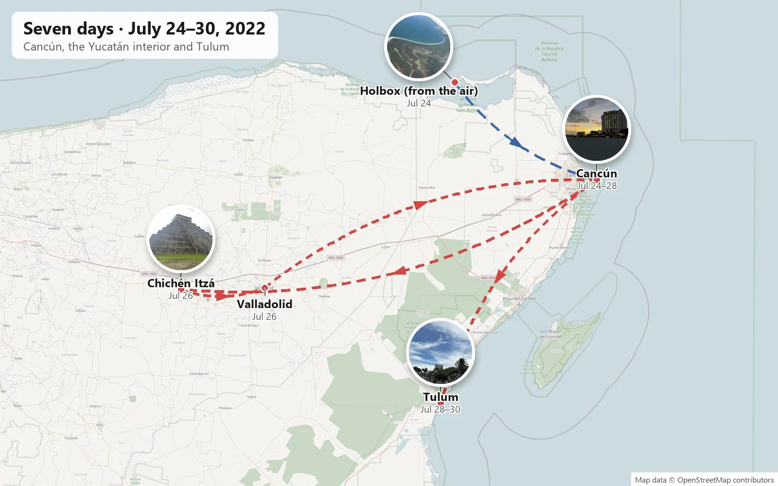
As with the other trips on this page, everything below is pieced together from the camera roll, with the time and place each photo was taken. It was a group trip, so many of the best photos are of people. Those stay in the family album, and what's left here is the scenery, the ruins, the animals and a fair amount of food. Where the photos are silent I've said so rather than guess.
Days 1 and 2: Down to the Caribbean
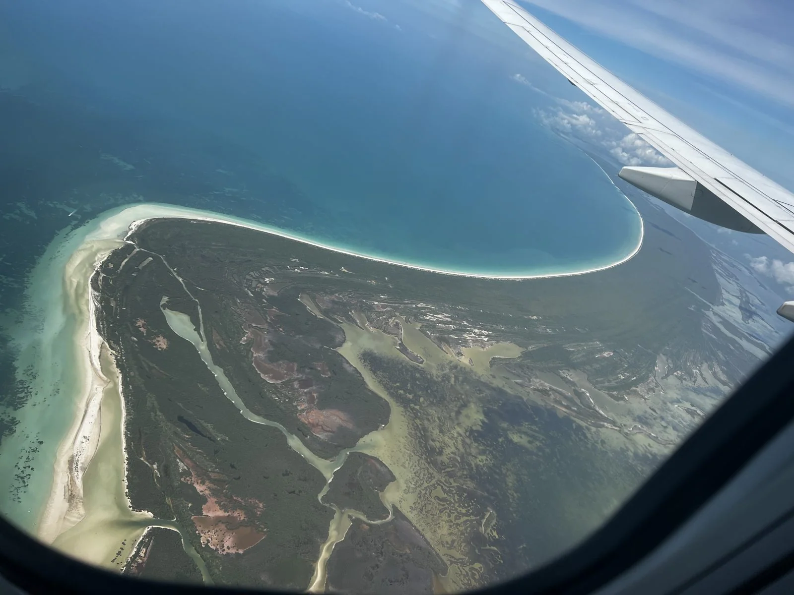
Holbox from the window
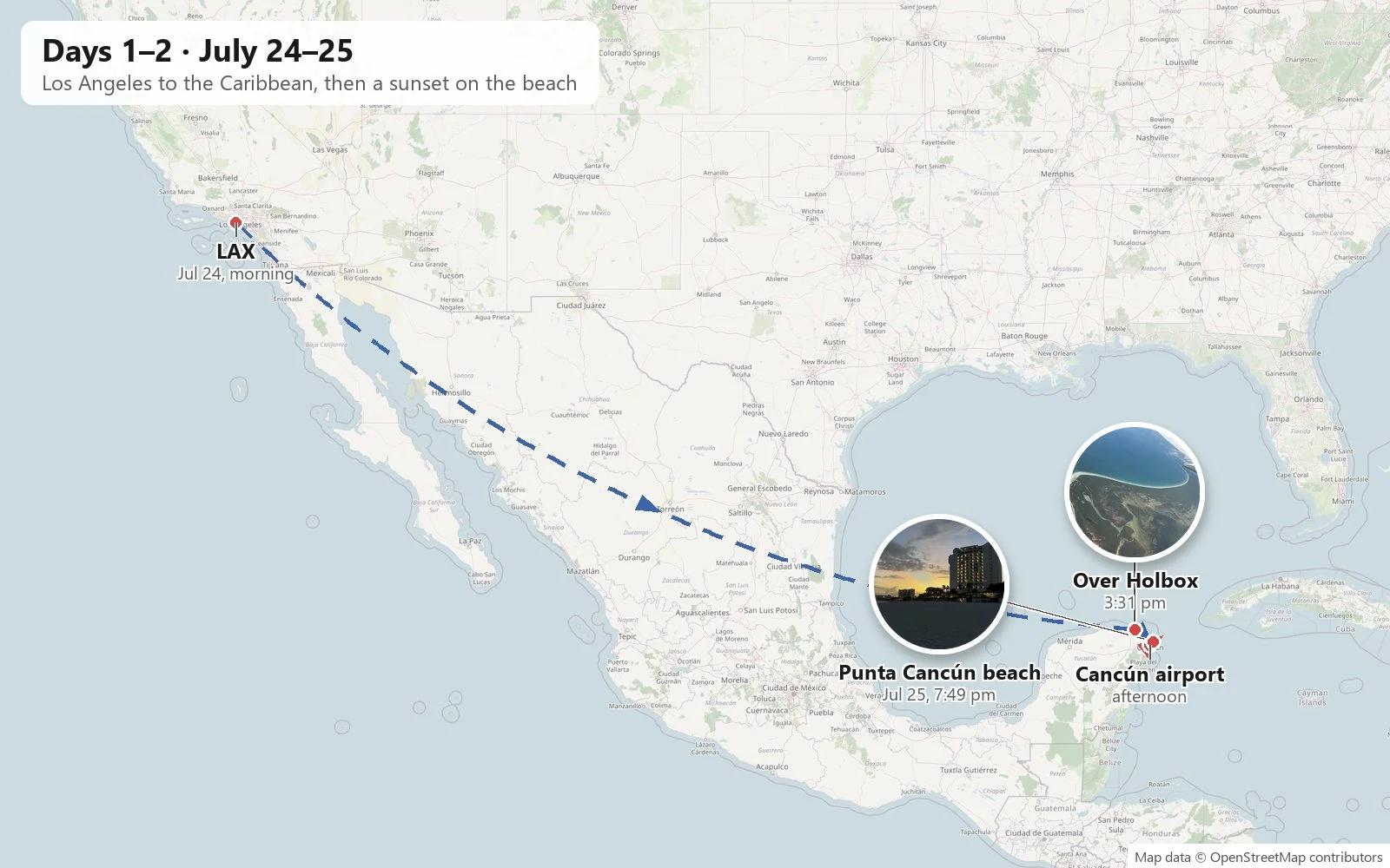
The first photo of the trip is from seven in the morning at LAX, and the next good one is from the plane at 3:31 in the afternoon, local time, as we came in over the top of the peninsula. Below the wing was Holbox, a long, thin island off the northern tip of Quintana Roo, separated from the mainland by a shallow lagoon. From above it looks like a white hook of sand laid on green and turquoise water. The island has no cars to speak of, only golf carts and sandy streets, and the waters around it are part of the Yum Balam reserve, where whale sharks gather in summer. We never set foot on it. It just happened to be under the window.
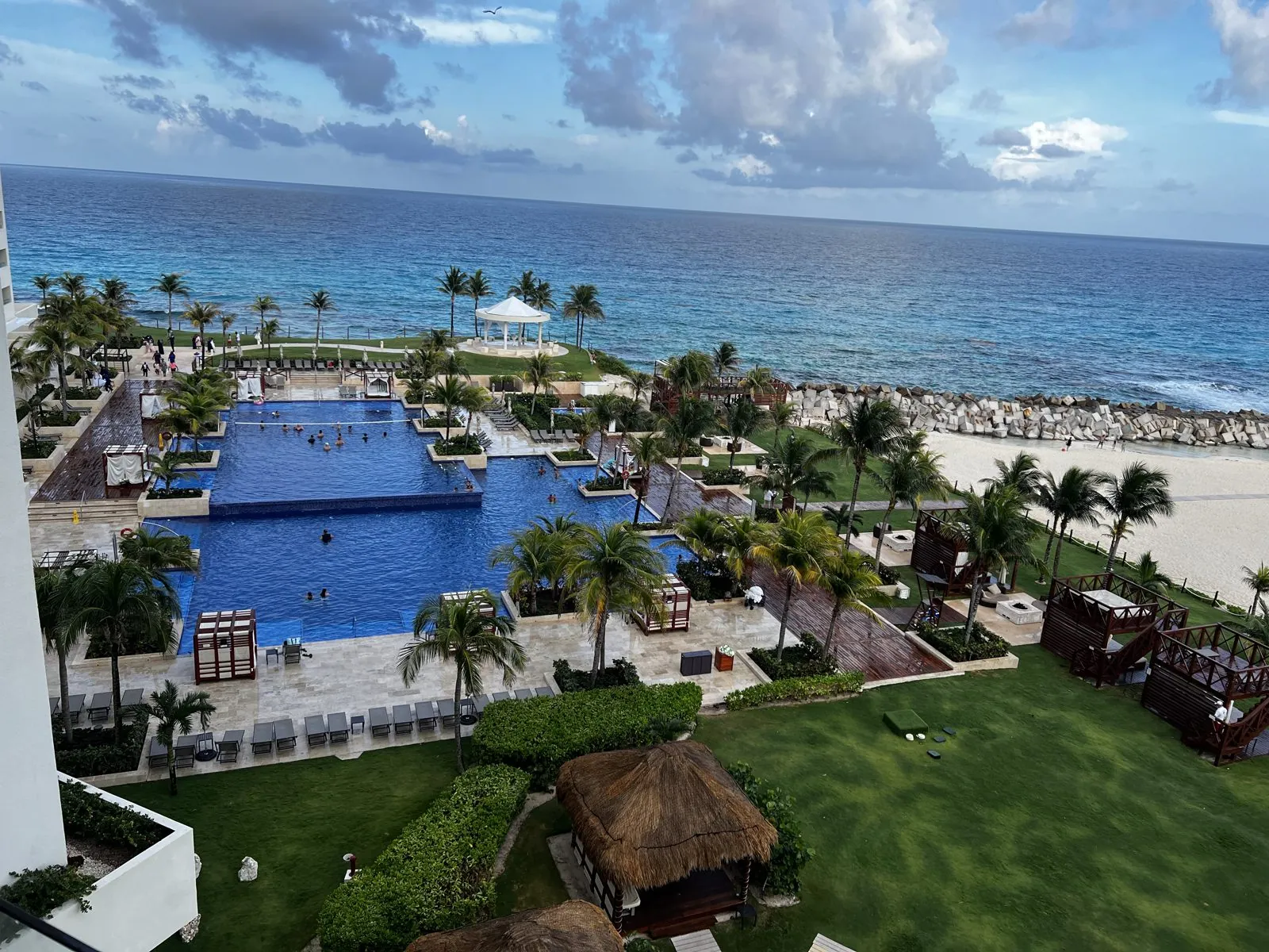
By five we were on the ground and checked in at the Hyatt Ziva Cancún, an all-inclusive resort on the Hotel Zone. The Hotel Zone is Cancún's strange and famous geography: a narrow barrier island shaped like the number 7, with the Caribbean on one side and the Nichupté lagoon on the other, and hotels shoulder to shoulder along all of it. Fifty-odd years ago almost none of it existed. In the late 1960s the Mexican government chose this nearly empty sandbar, with a fishing village nearby, as the site of a planned resort city, and built it more or less from scratch. We were near the bend of the 7, at Punta Cancún. From the room we looked down on a pool laid out in terraces and then the sea.
An evening on the beach
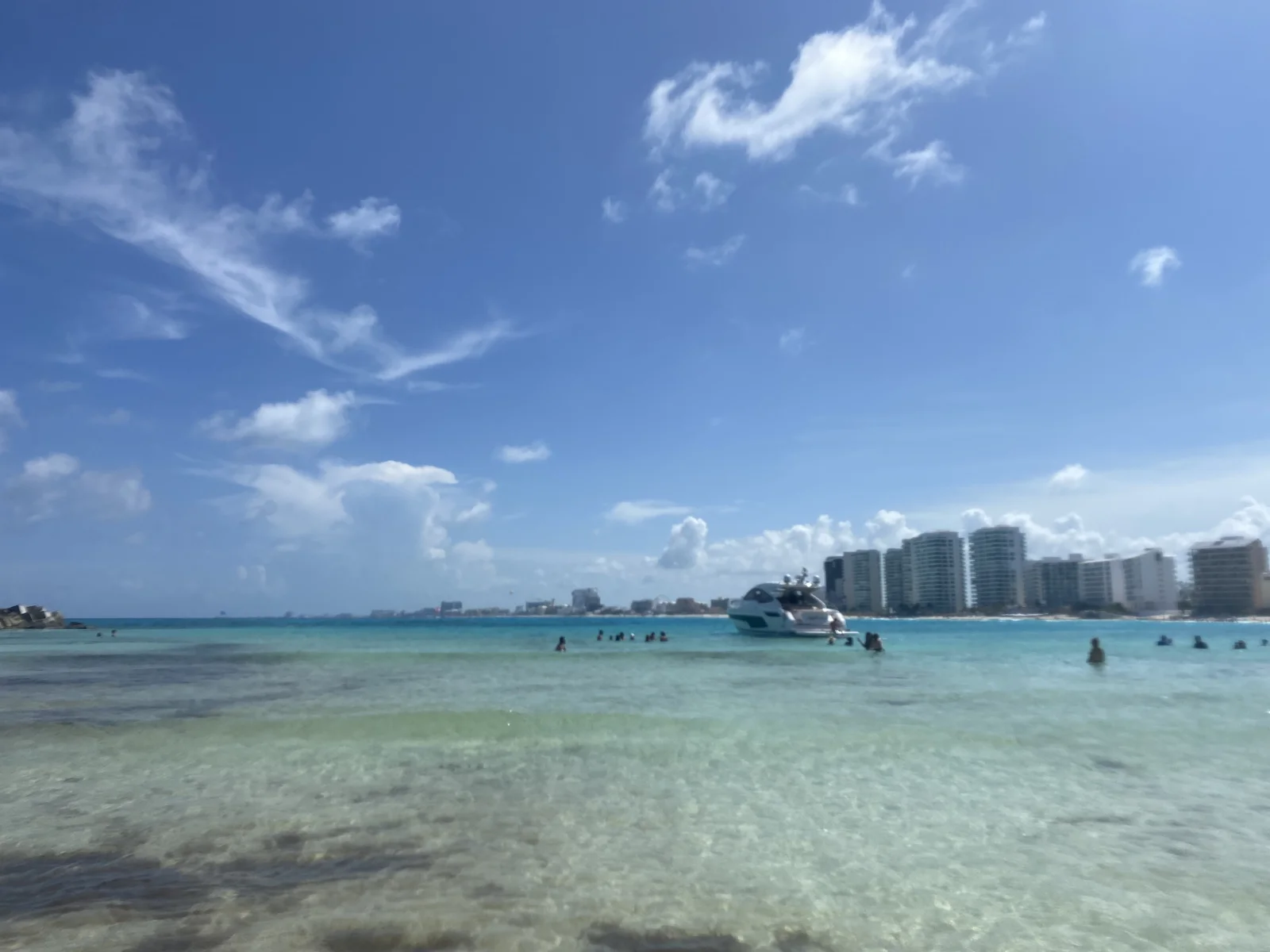
Monday was a day by the water. The daytime photos are on my wife's phone: lunch on a shaded terrace and, at a quarter past three, the shallow water off the beach at the point, clear enough to see the sand, with hotel towers lined up along the shore across the bay.
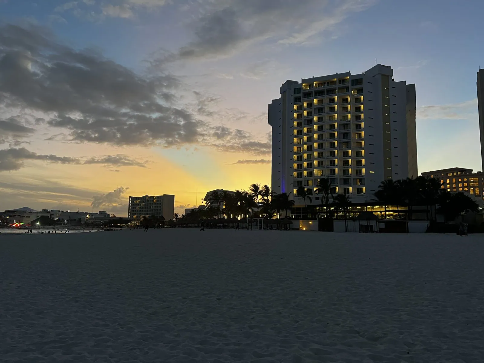
My camera comes back out at a quarter to eight in the evening, on the beach at Punta Cancún, where the sun was setting behind the hotel towers and the sand had turned gray-blue. The beaches on this side of the point face north into the bay rather than out to the open sea, so the water is calm, and plenty of people were still swimming in the last of the light. Some of us went in too.
Day 3: Chichén Itzá, a cenote and Valladolid
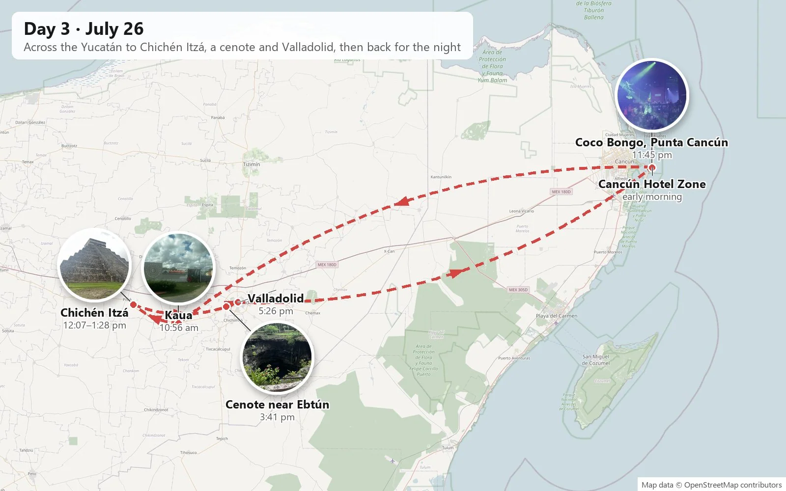
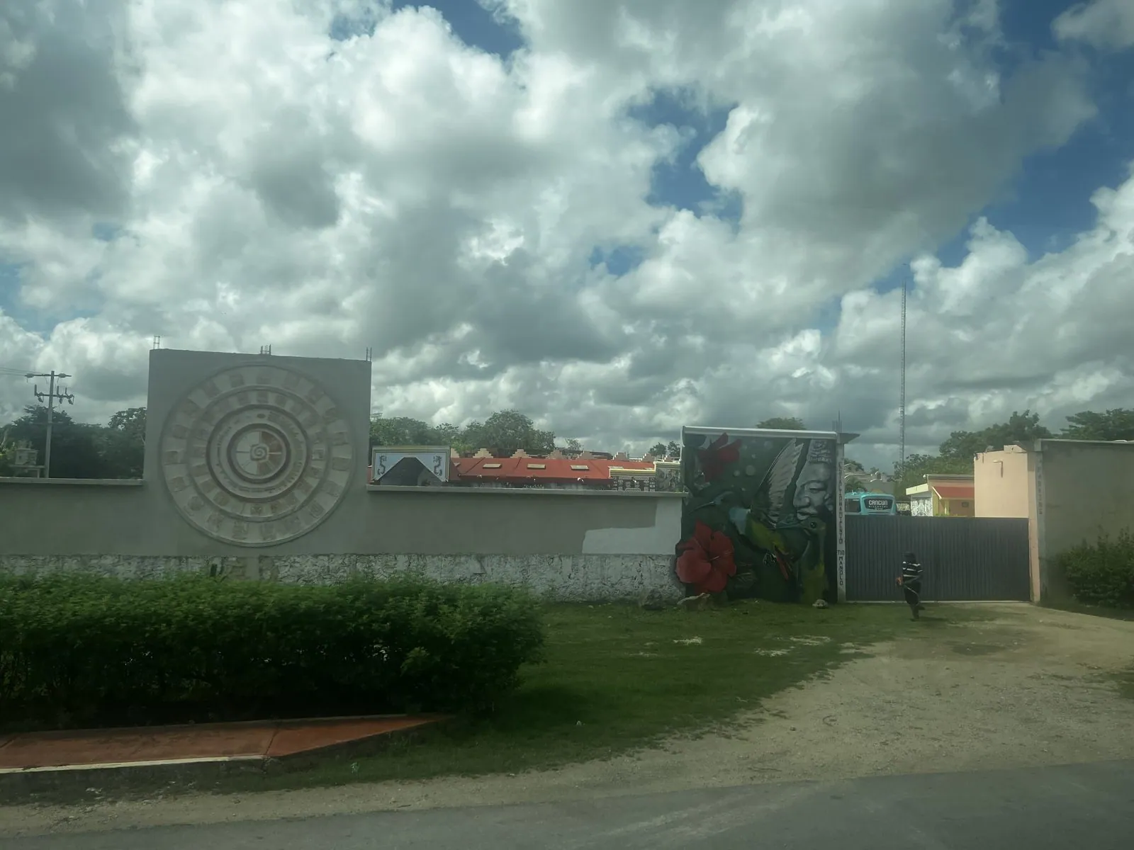
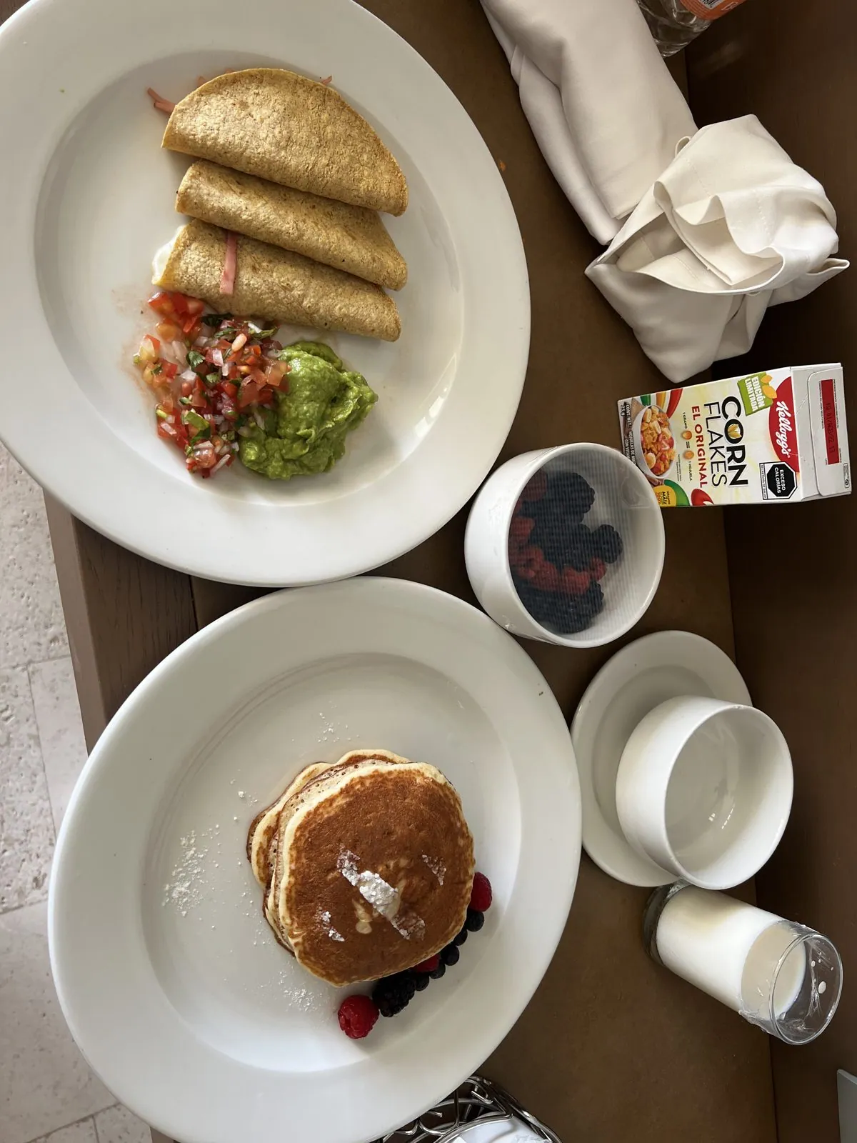
Tuesday was the big day. The first photo is from 7:13 in the morning, a hurried breakfast plate, and by eleven we were far to the west on a day tour, in the state of Yucatán. The road from Cancún runs dead straight through low, dense scrub forest. The Yucatán is a flat slab of limestone, and there is hardly a hill or a river on it. The first stop the camera recorded was Kaua, a small Maya village just off the old road, where the photo shows a community center with a carved stone disc set in its wall.
Chichén Itzá
By noon we were at Chichén Itzá. It was one of the great cities of the Maya world, at its height roughly a thousand years ago, and it is now one of the most visited places in Mexico. A UNESCO World Heritage Site since 1988, it was voted one of the "New Seven Wonders of the World" in 2007. At the center of a huge, flat lawn stands El Castillo, the Temple of Kukulcán: nine stepped terraces with a staircase up each side and a small temple on top. The building is also a calendar. Each staircase has 91 steps, and the four together plus the top platform make 365. At the spring and autumn equinoxes, the late-afternoon sun throws a zigzag of shadow down the edge of the northern stairs, so that a serpent of light appears to crawl down to the stone snake's head at the bottom.
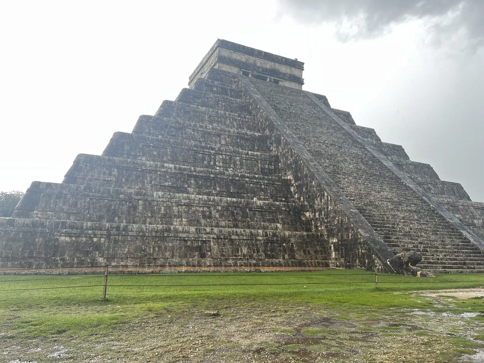
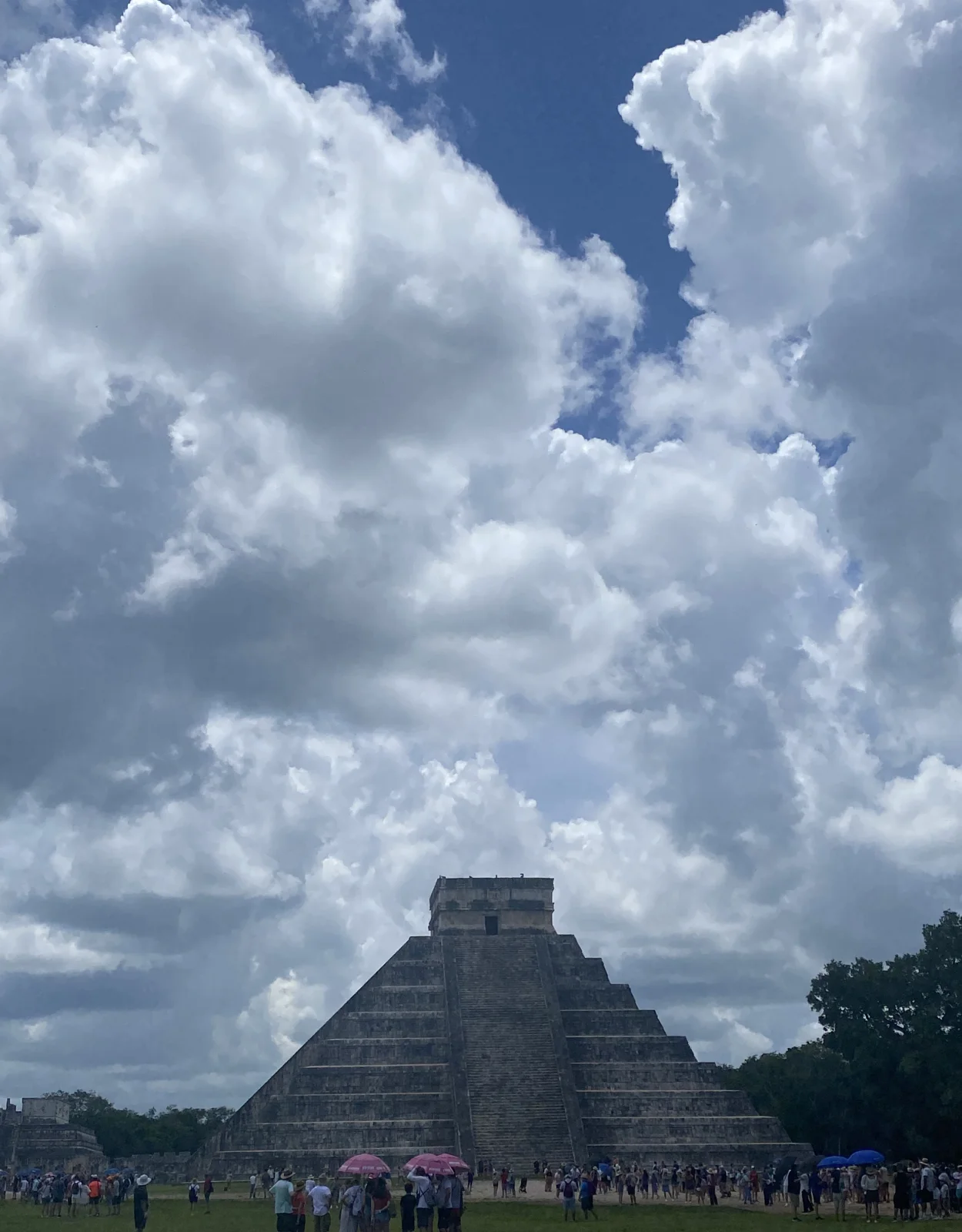
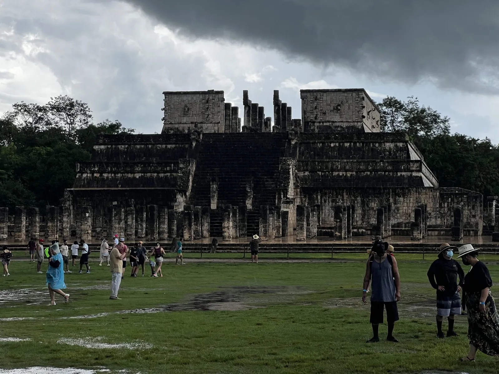
You can no longer climb it; that ended in 2006. So you walk around it with everyone else, in a crowd of tour groups following guides with umbrellas. July in the Yucatán is the rainy season, and the sky was full of heavy clouds that afternoon, with puddles on the lawns. East of the pyramid is the Temple of the Warriors, a stepped platform fronted by rows and rows of square stone columns. Once they held up a roof; now they stand in ranks in the grass like a petrified army.
Down into a cenote
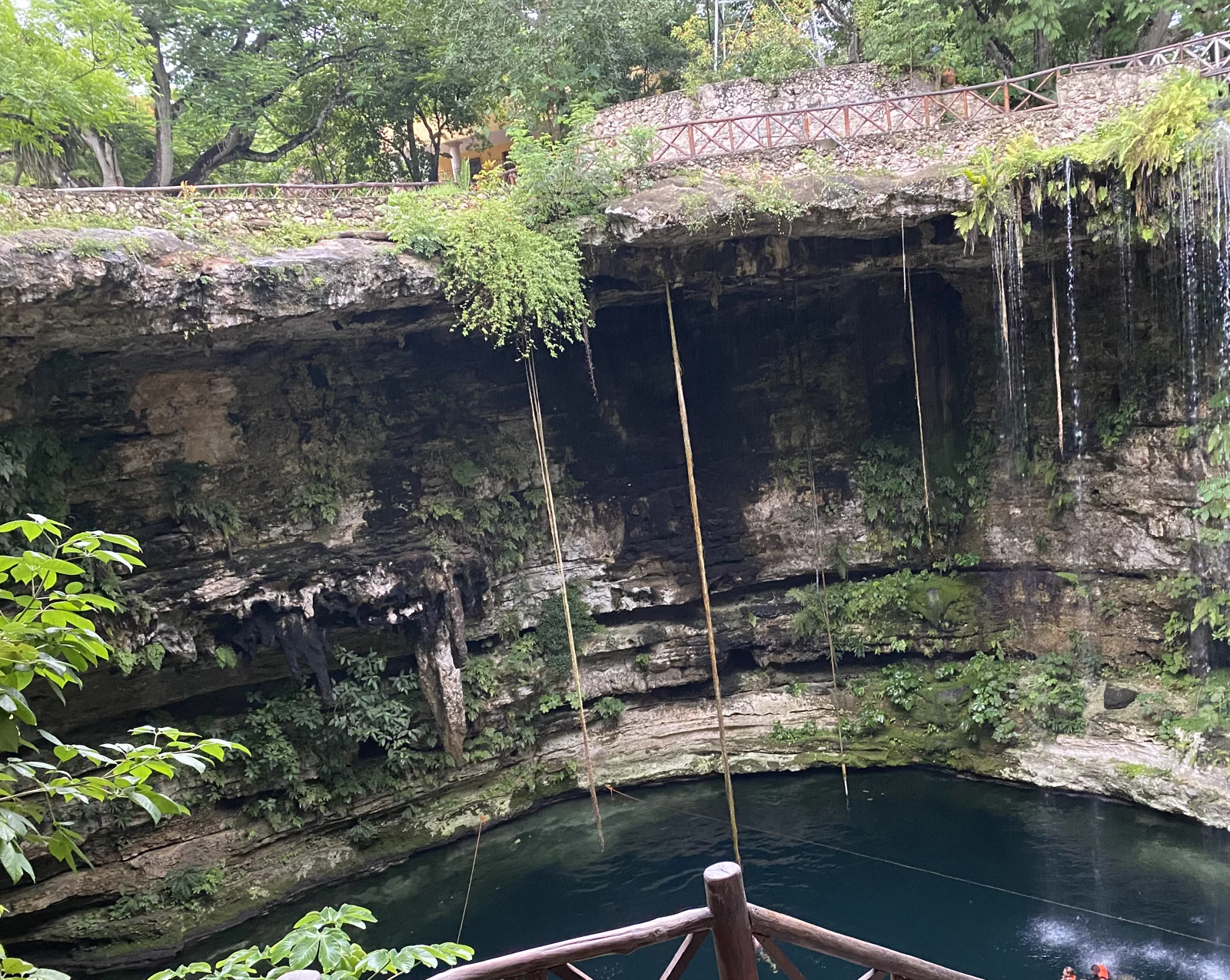
Because the Yucatán is limestone, rain doesn't run off in rivers. It sinks through the rock and flows underground, and where the roof of a cave has fallen in you get a cenote: a round, sheer-sided pit with fresh water at the bottom. To the Maya they were wells, and also openings to the underworld. Our cenote stop, at 3:41, was a little west of Valladolid, near the village of Ebtún. From the rim it looked like a giant stone drum, its walls hung with ferns and roots reaching down to the water.
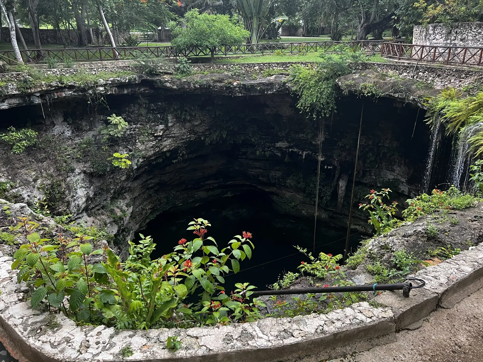
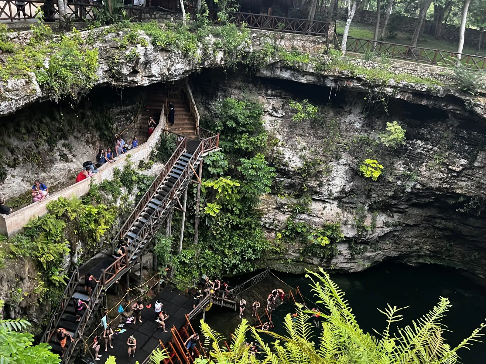
A wooden staircase zigzags down the wall to platforms at water level, where people in life vests were jumping in. After a morning on the hot lawns of Chichén Itzá, the water at the bottom of a cenote is the best thing in the Yucatán.
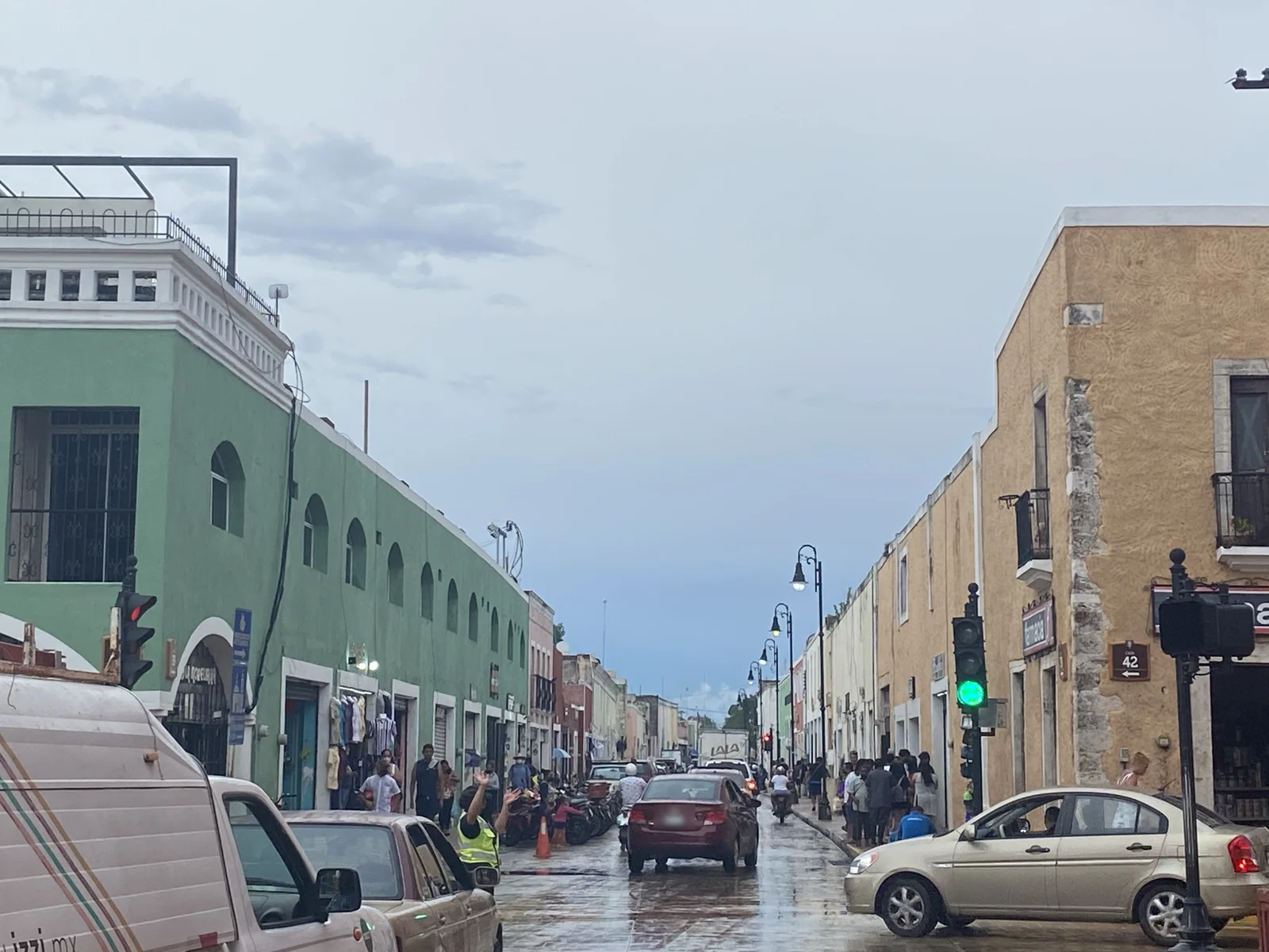
The last stop, a little after five, was Valladolid, a colonial town founded by the Spanish in the 1540s on top of a Maya town, with a big church on its main square. The streets were still wet after the rain. Then came the long drive back to the coast.
Coco Bongo
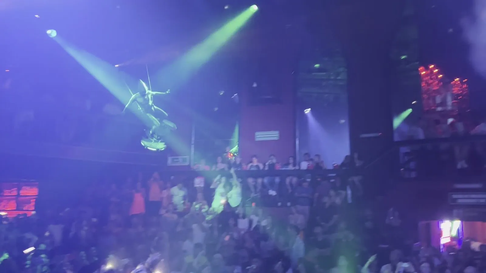
That should have been enough for one day, but we had tickets for that night. Punta Cancún is also the Hotel Zone's party district, a cluster of clubs and bars within a few hundred meters of each other. By 11:25 pm we were on the strip by Fat Tuesday, and just before midnight we were inside Coco Bongo, which is part nightclub and part stage show. The videos from that night are mostly noise and light: acrobats flying over the crowd on wires, dancers on the balconies, and a hall packed to the walls. The last clip is from 12:21 am.
Days 4 and 5: Dolphins, a convertible, and south to Tulum
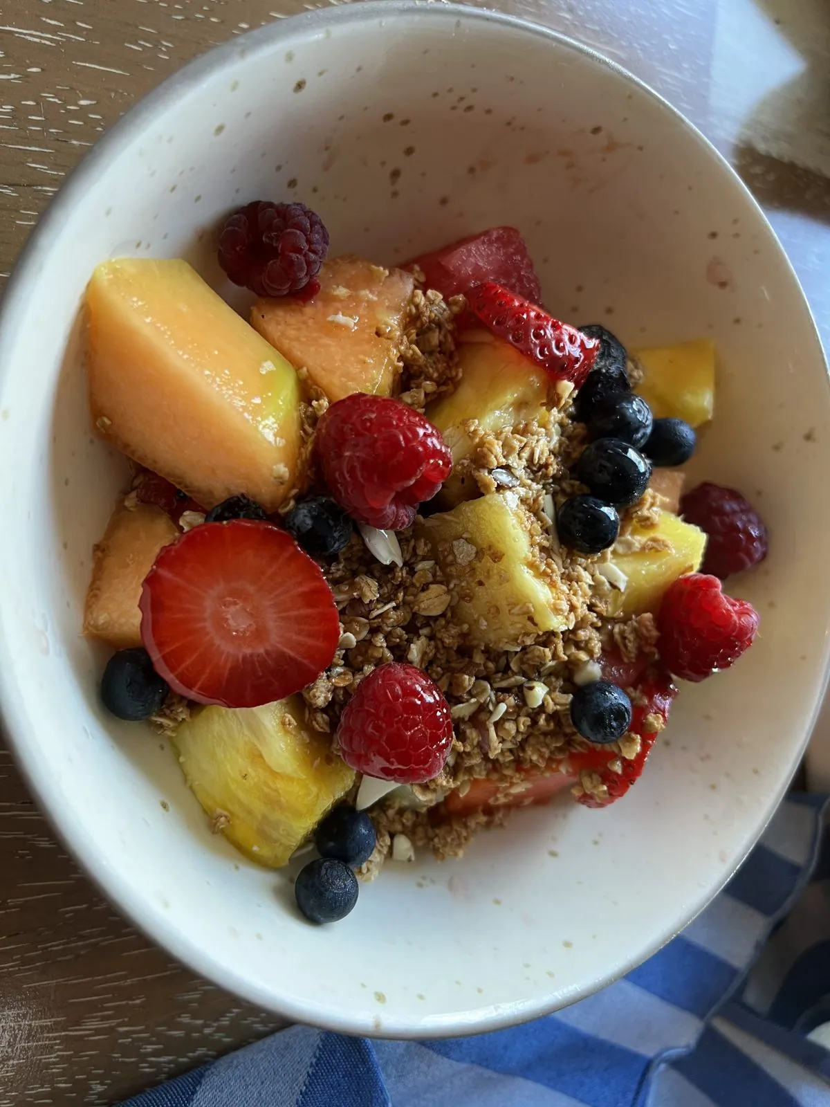
Wednesday was a day of recovery, and the photos show it: breakfast a little after nine, a bowl of fruit and granola and an everything bagel with smoked salmon, then nothing until dinner.
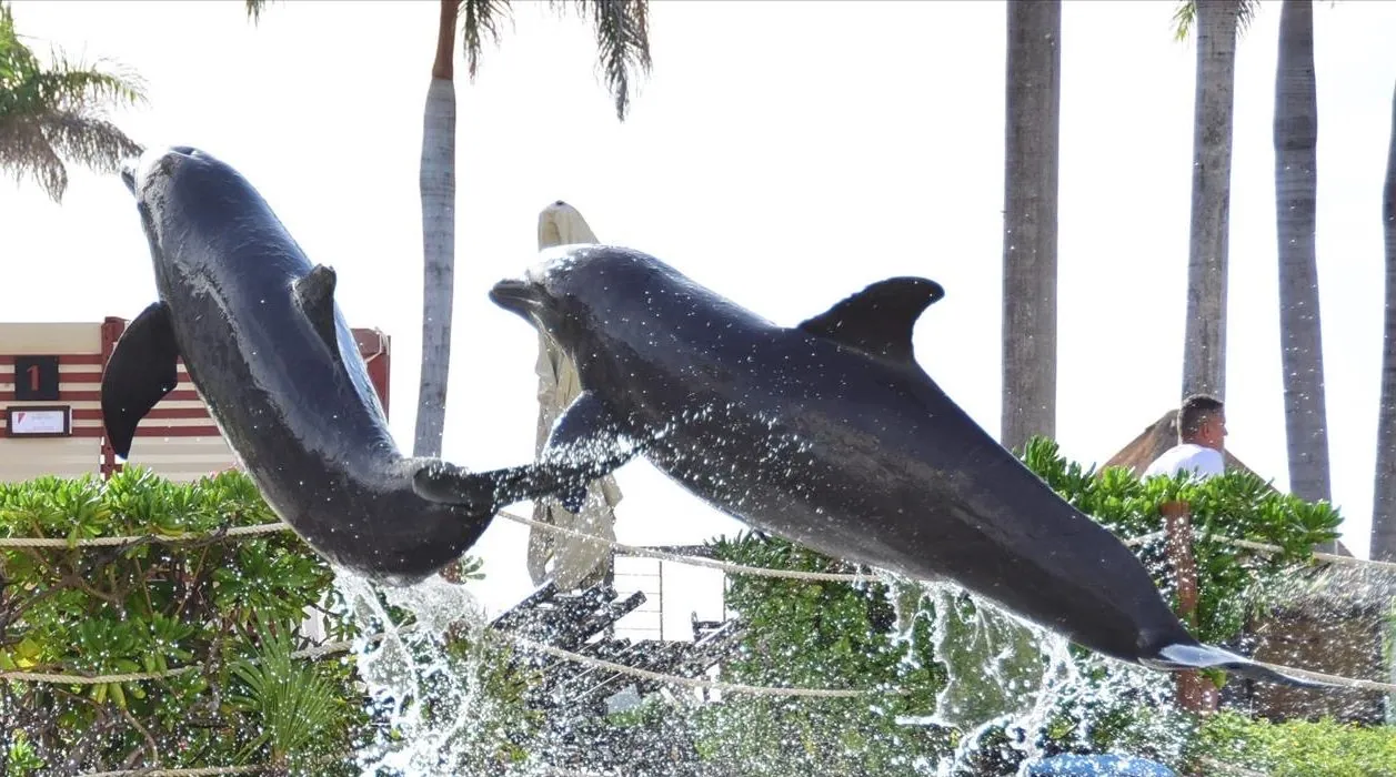
Two dolphins in the air
The resort has a dolphin lagoon by the beach, and at some point in those middle days we went in, in blue life vests, with the trainers. The photographs are the professional kind, and they carry no real time, so I can't say exactly when. Most of them are portraits, which stay private. My favorite is the moment the trainers sent two dolphins up out of the water together, side by side, in front of the palms.
Lunch in a convertible
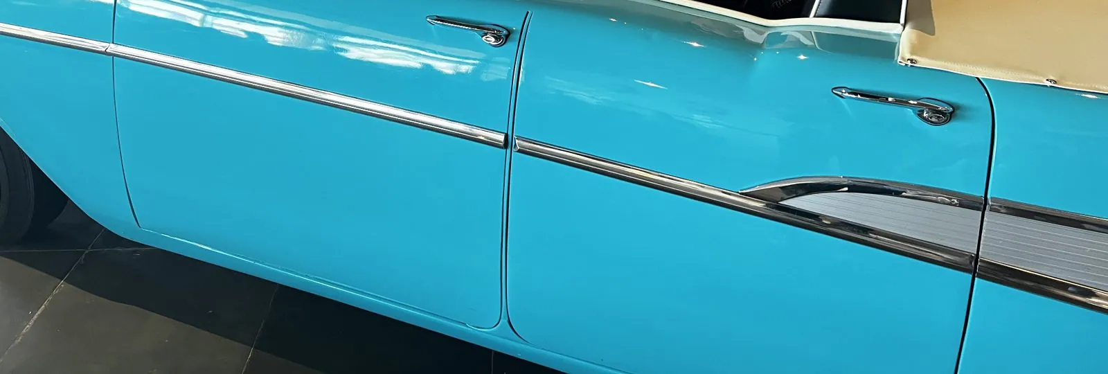
On Thursday we packed up. Before we left the Hotel Zone there was lunch at a 1950s-style diner where the booths are old cars: you sit in the seats of a turquoise convertible with chrome trim and whitewall tires, and the table is where the dashboard should be.
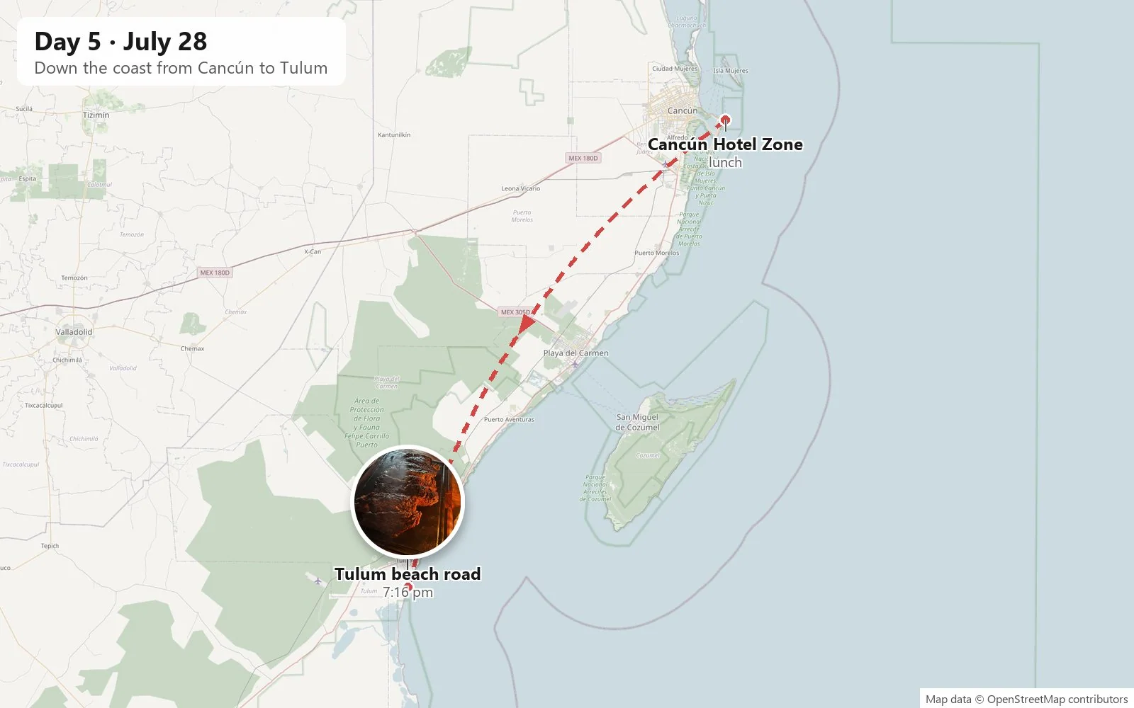
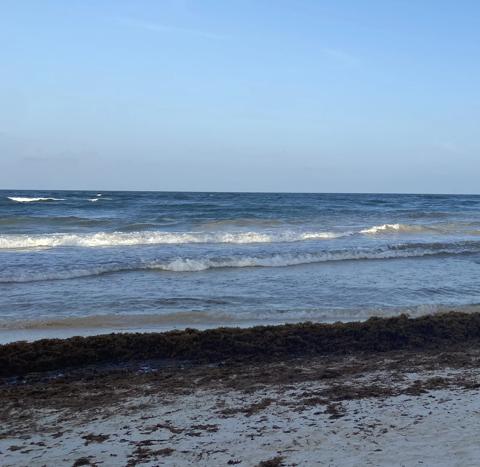
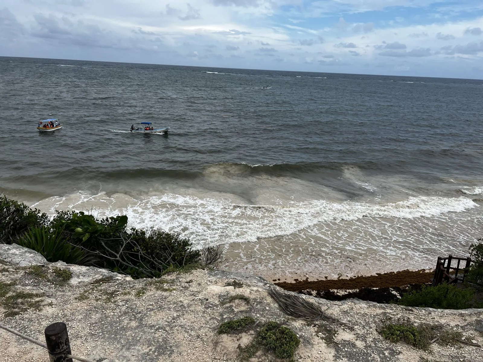
Then we went south. Tulum is an hour or two down the coast from Cancún, past Playa del Carmen, on the road that runs along what is now sold as the Riviera Maya. Nobody photographed the drive down. By six we were on the beach road south of town, where the hotels and restaurants hide in the jungle between the road and the sea, and at 6:29 on the beach itself, where the surf was up and a thick band of brown sargassum lay along the tide line.
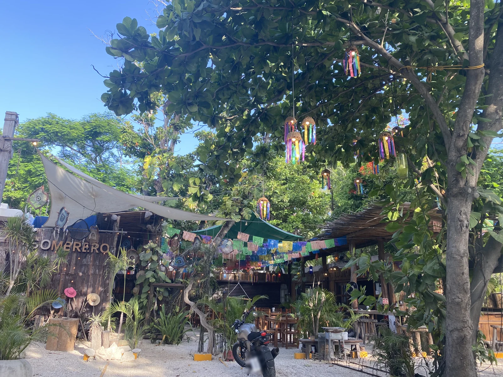
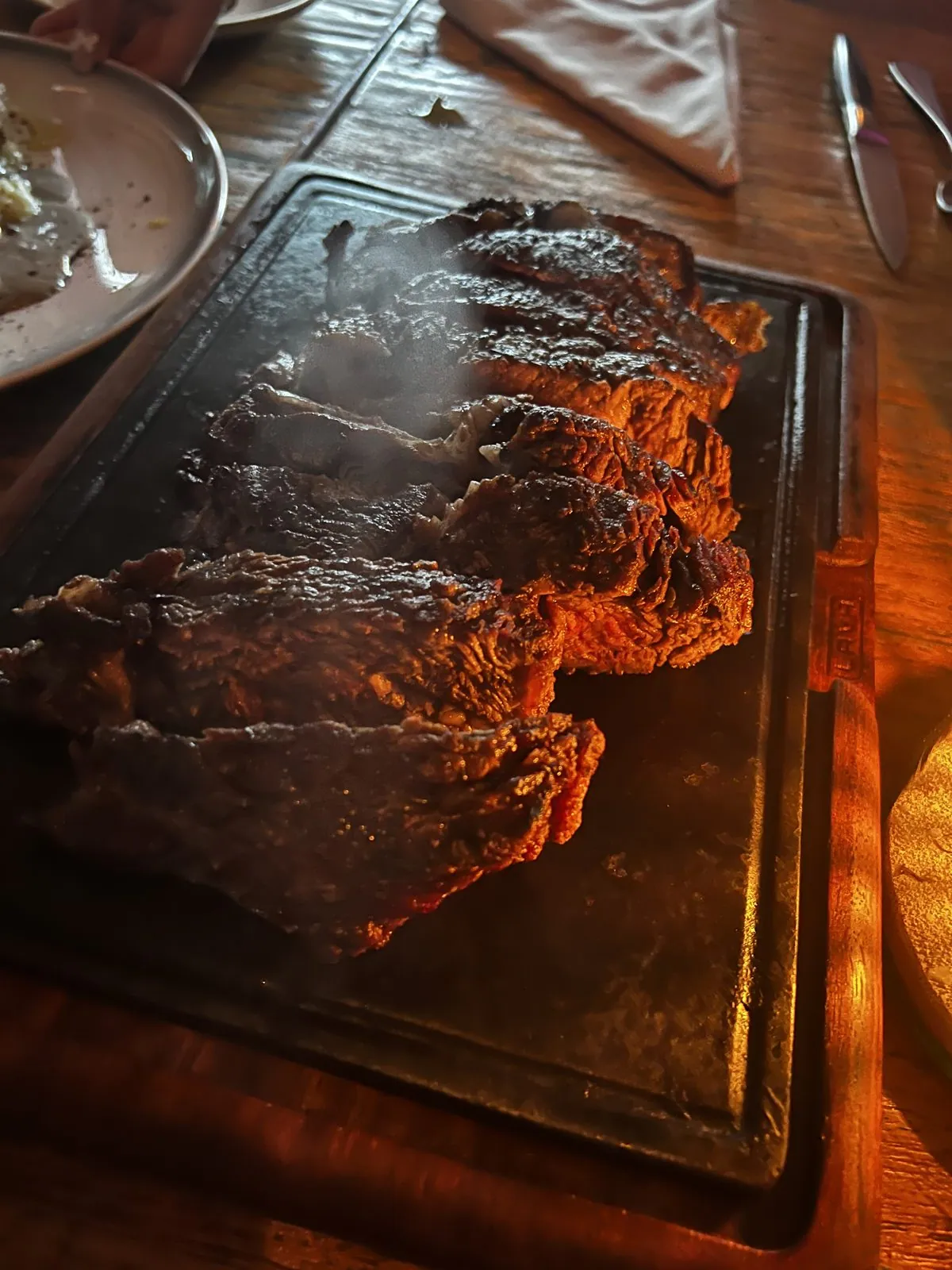
Dinner was at 7:16. A steak arrived on a board, there were candles on the table, and orange drinks in tall glasses. For the last two nights, in Tulum, we slept in a treehouse.
Day 6: Tulum
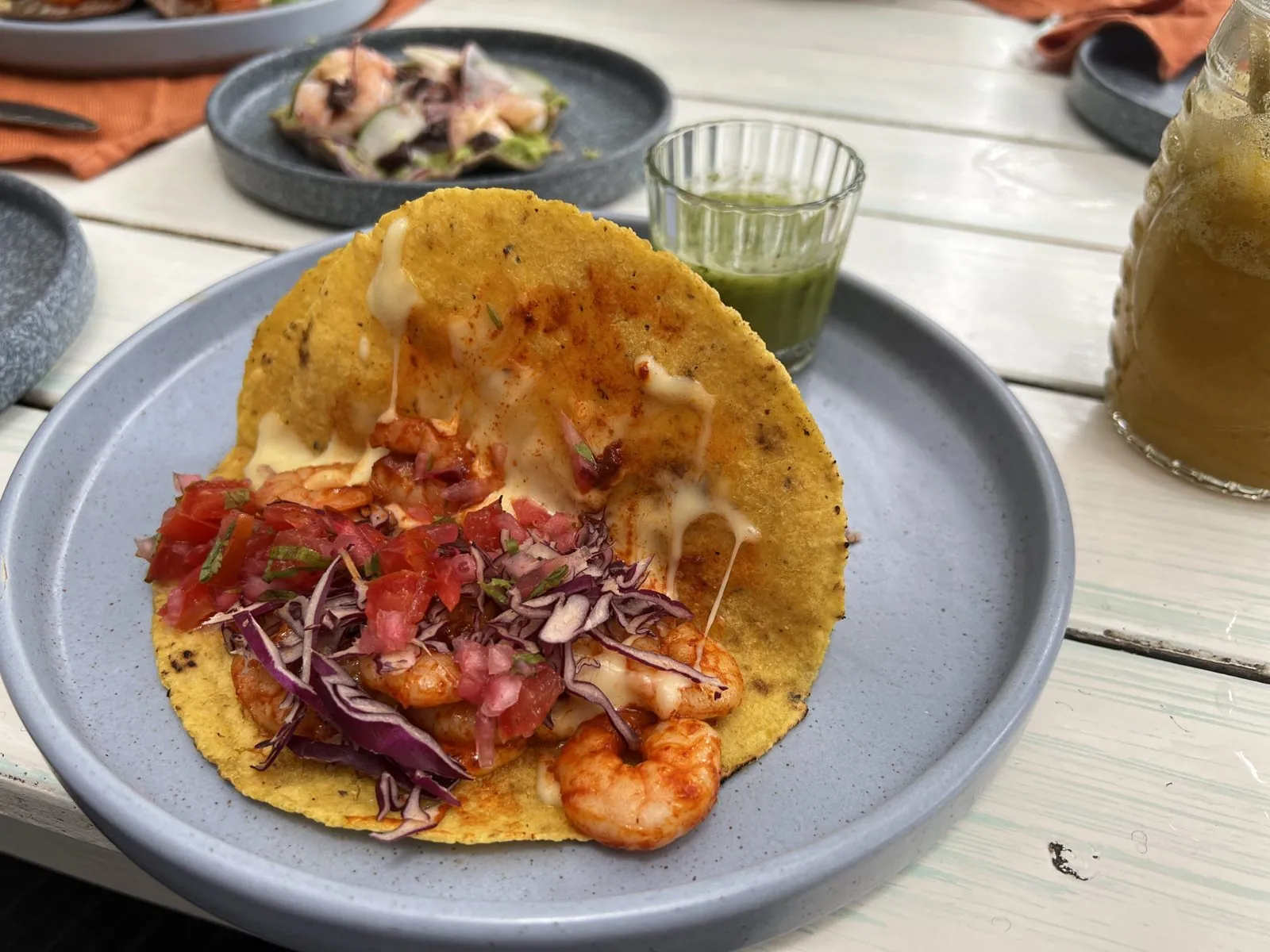
Friday started late, with lunch on the beach road at noon: shrimp on a crisp tostada, with tomato, red cabbage and a little glass of green salsa.
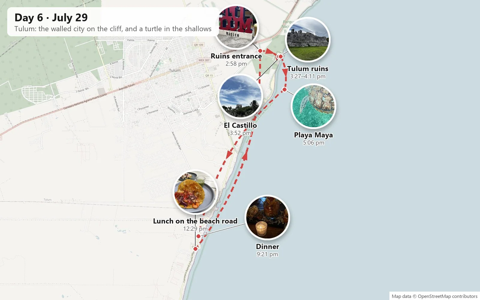
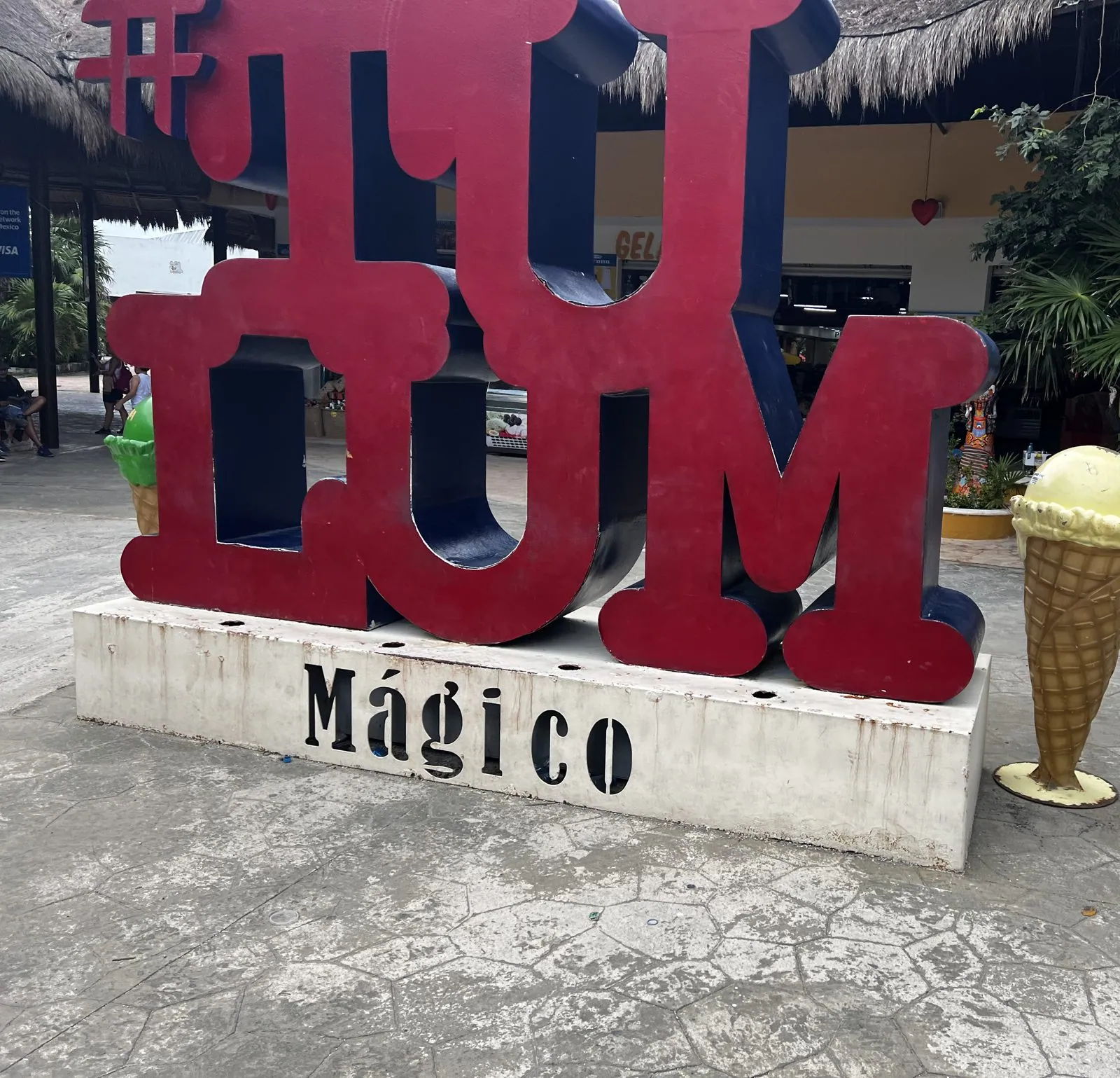
By three we were at the entrance to the ruins, where a set of giant red letters spelling TULUM, with "Mágico" underneath, stands next to a giant fiberglass ice-cream cone.
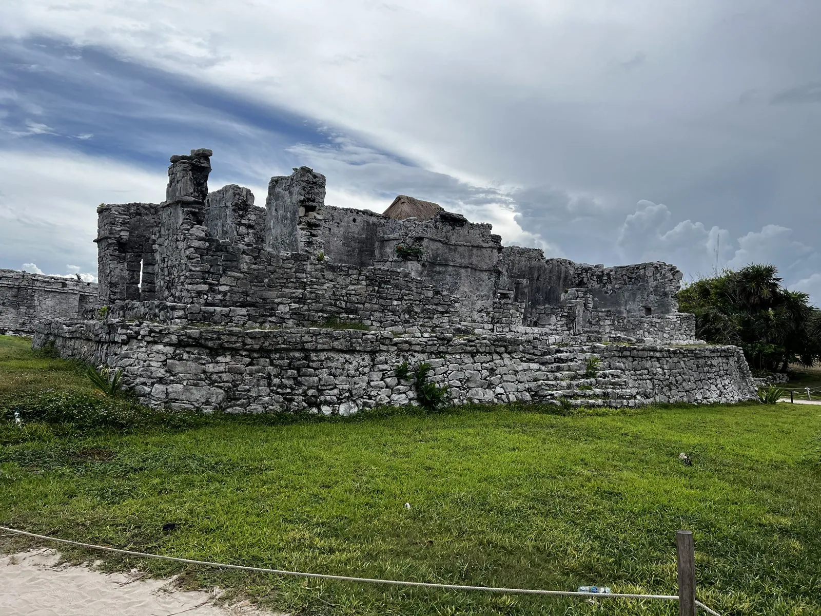
The walled city on the cliff
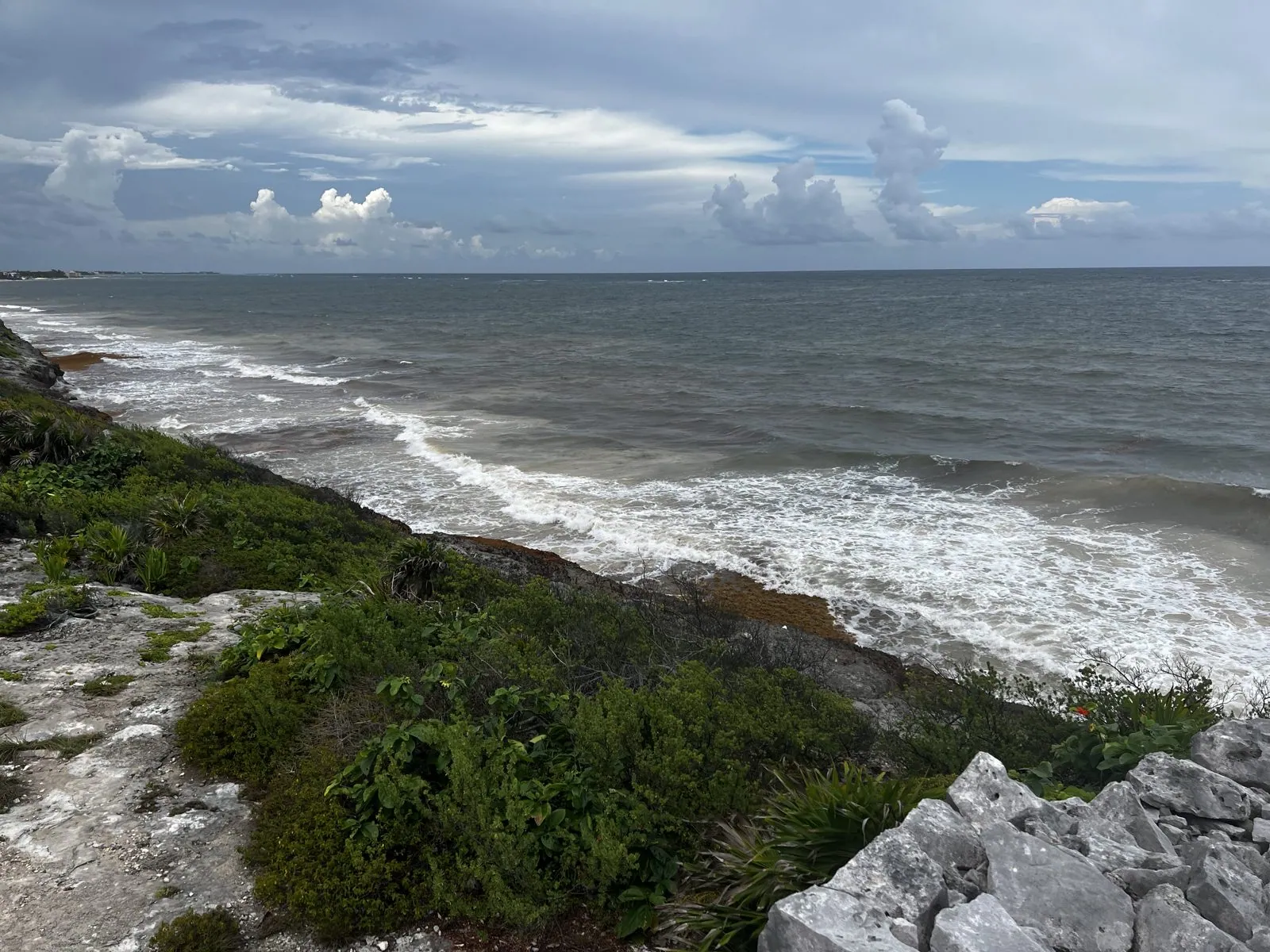
Tulum is small next to Chichén Itzá, but it has the best setting of any Maya city. It sits on a limestone cliff right above the Caribbean, enclosed on its three landward sides by a stone wall. "Tulum" means "wall"; its older name was probably Zamá, "dawn", since it faces east over the sea. It was at its peak late, in the thirteenth to fifteenth centuries, as a trading port for canoes working the coast, and it was still a living town when Spanish ships first sailed past in 1518. It was an overcast, windy afternoon, and the gray stone looked right under a gray sky.
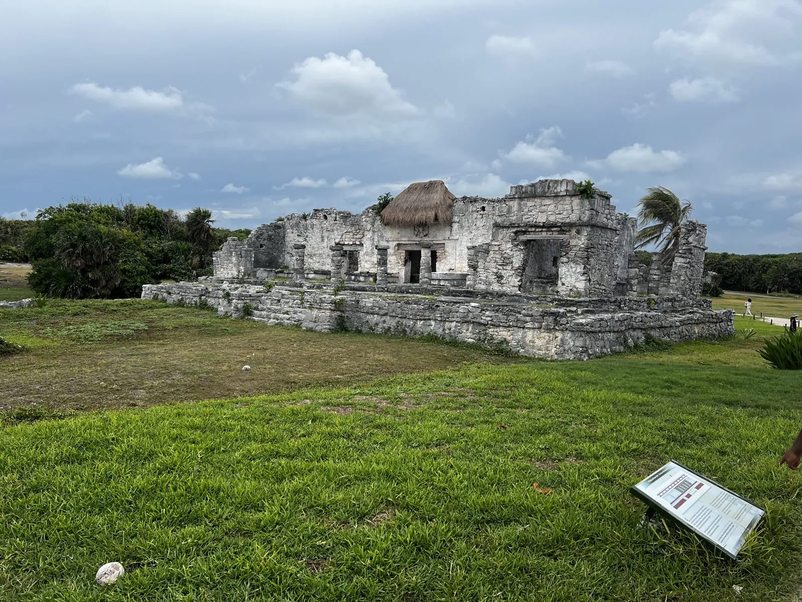
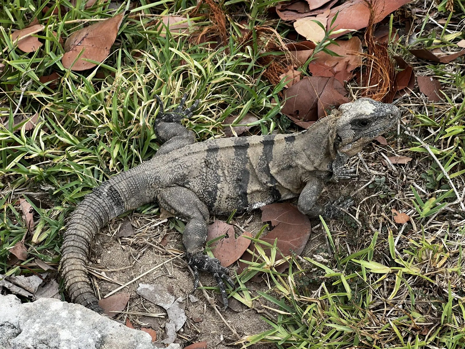
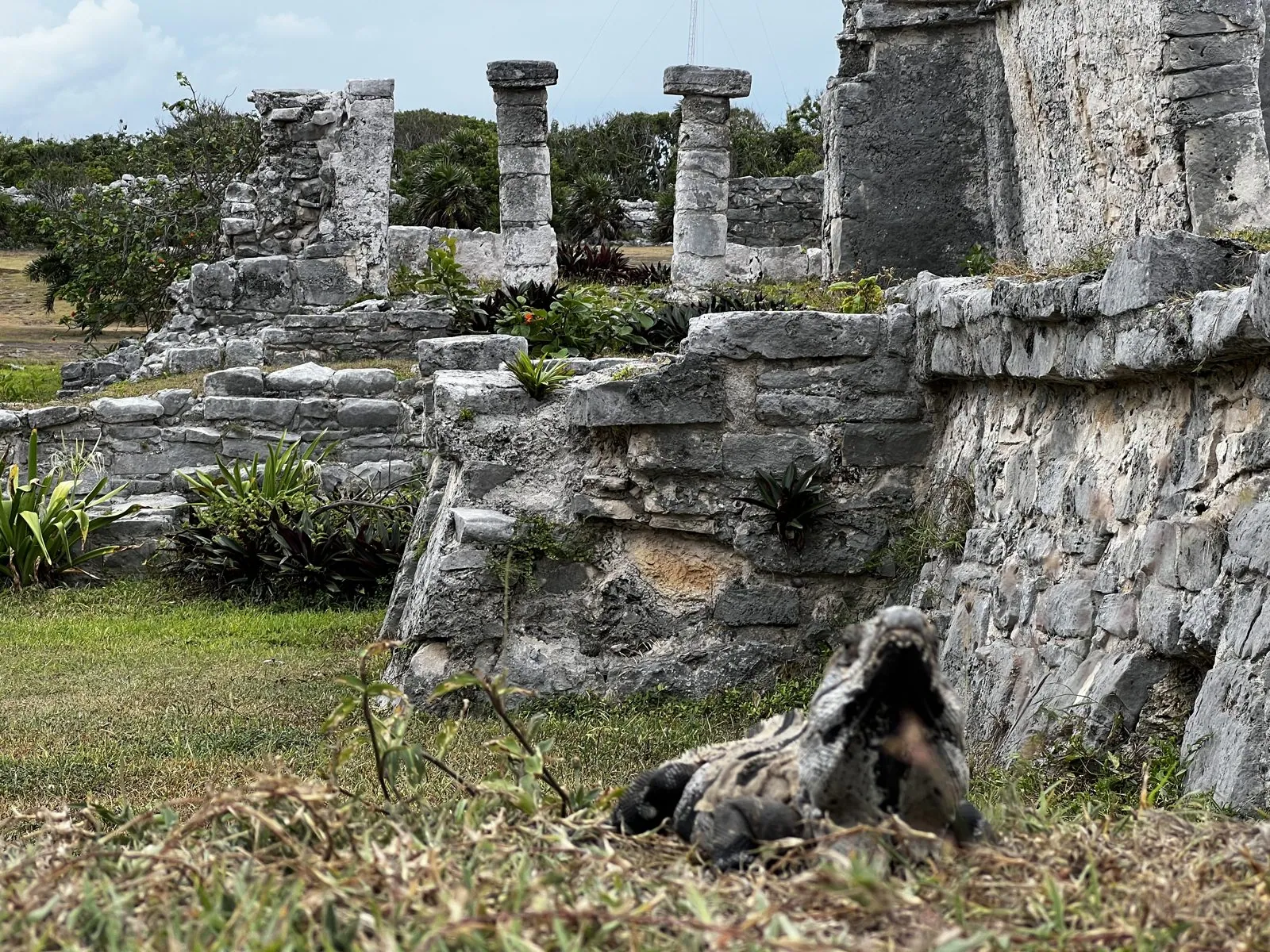
The ruins have another population: iguanas. Black spiny-tailed iguanas, some of them a meter long, lie everywhere on the warm stones and in the grass, and they let you get very close before they bother to move. One lay at the foot of a wall with its back to a row of old columns, as if it owned the place, which in a sense it does.
The building everyone comes for is El Castillo, a temple on the highest point of the cliff, with palms around it and the sea behind. The classic view is from a path along the cliff, and at 3:52 that path was lined with people holding up phones, us included.
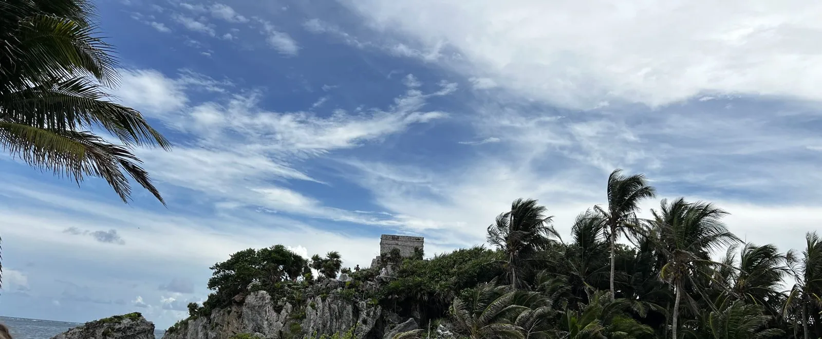
Walk the other way along the cliff edge and you look down on surf breaking over the rocks, and on a wooden staircase down to a small beach under the ruins.
A turtle in the shallows
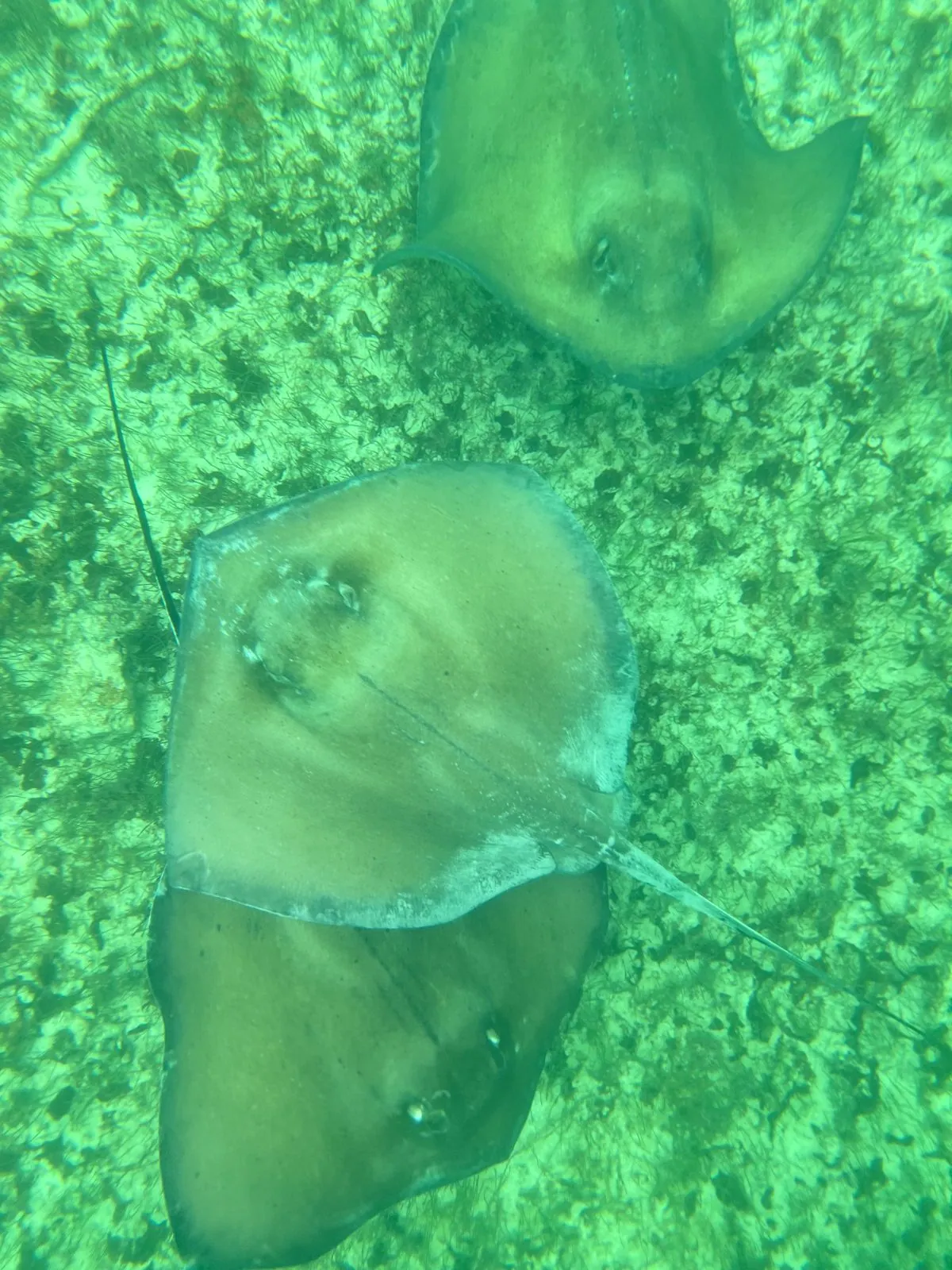
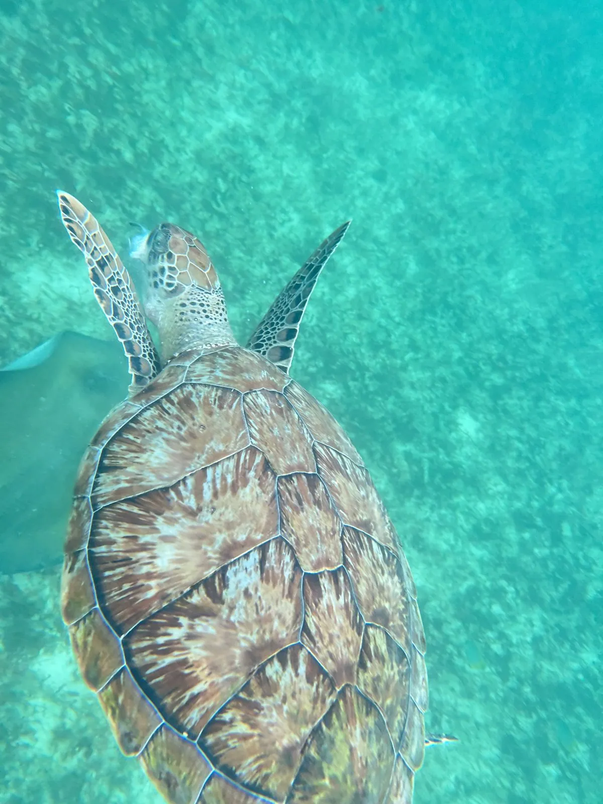
An hour later we were in the water ourselves, snorkeling off the coast near Tulum, with masks and a phone in a waterproof case. Over a bottom of sand and sea grass, the first thing we saw was a pair of southern stingrays, flat and sand-colored, gliding just above the floor. Then a green sea turtle came past, grazing on the sea grass and paying no attention to us at all. Green turtles nest on these beaches in summer, and they feed in the grass beds close to shore.
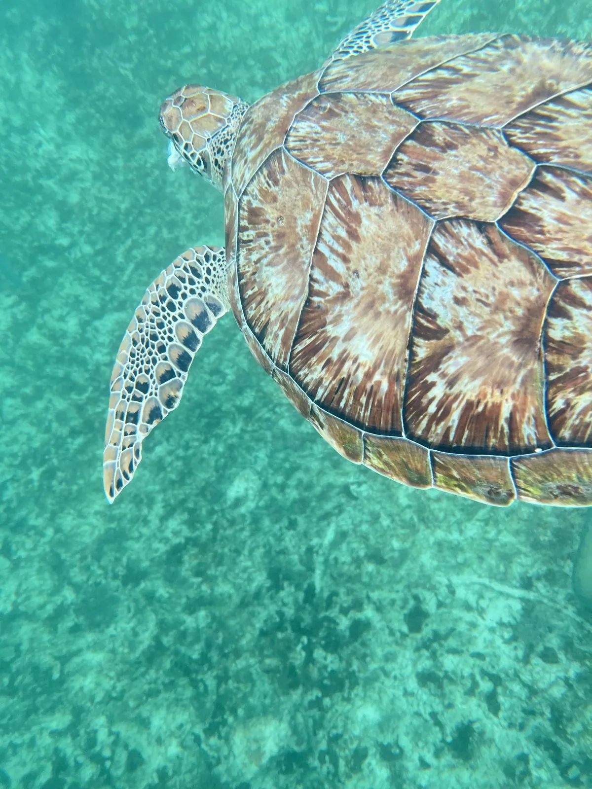
It swam slowly off into the blue, its flippers barely moving.
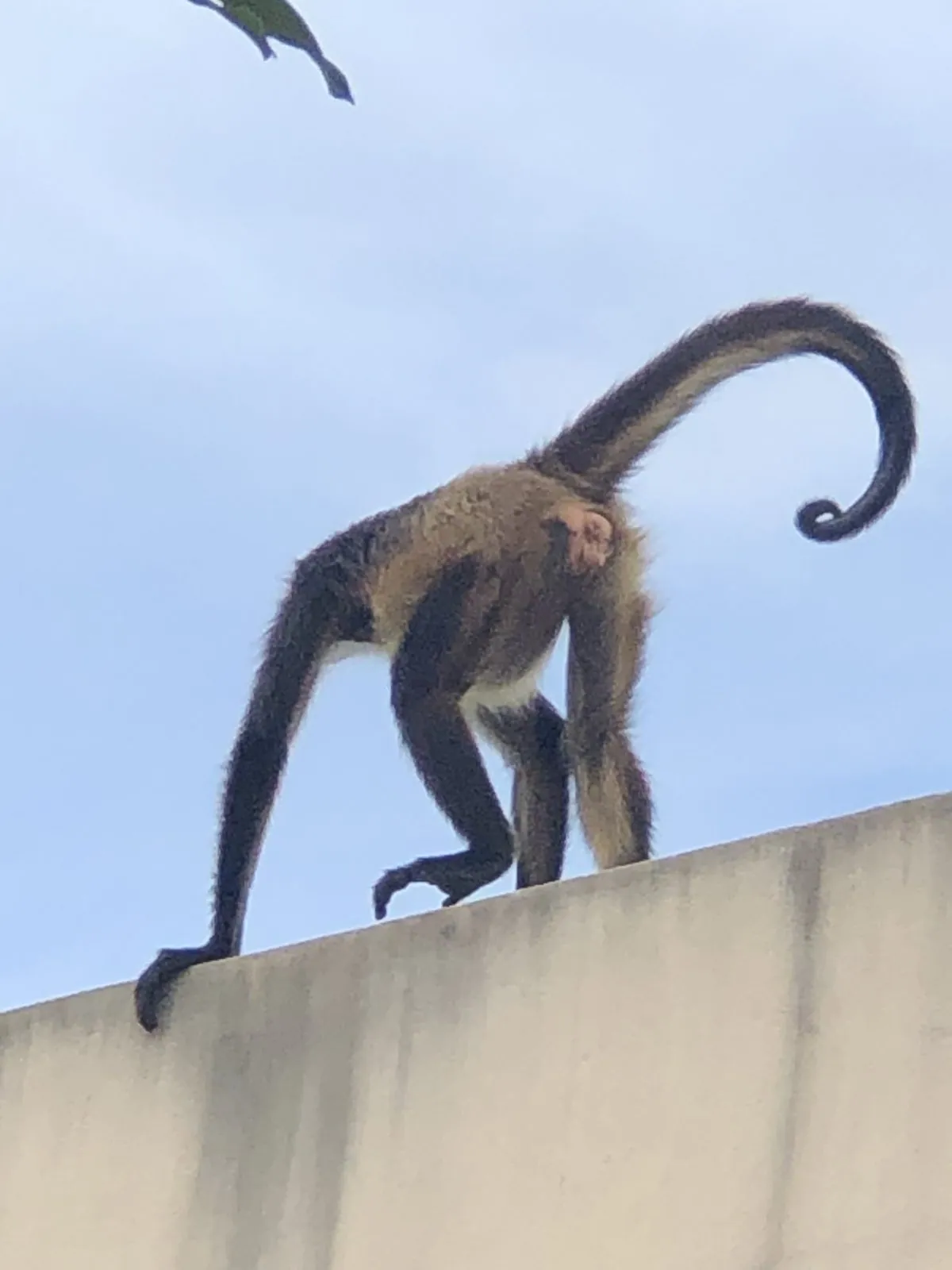
Back on land, ten minutes later, there was one more animal: a spider monkey walking along the top of a wall, its long tail curled up into a question mark behind it.
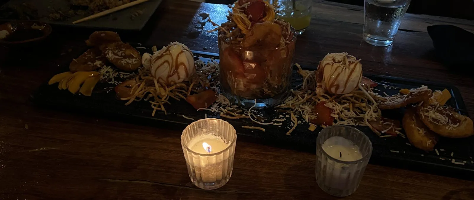
Dinner started a little after eight, back on the beach road, and dessert came after nine: a long platter by candlelight, with fried plantains, scoops of ice cream under caramel, shredded coconut, and a tall glass of fruit in the middle. Later, a little after eleven, the last night out of the trip ended at Taboo, where the waiters carry sparklers through the dining room.
Day 7: Home
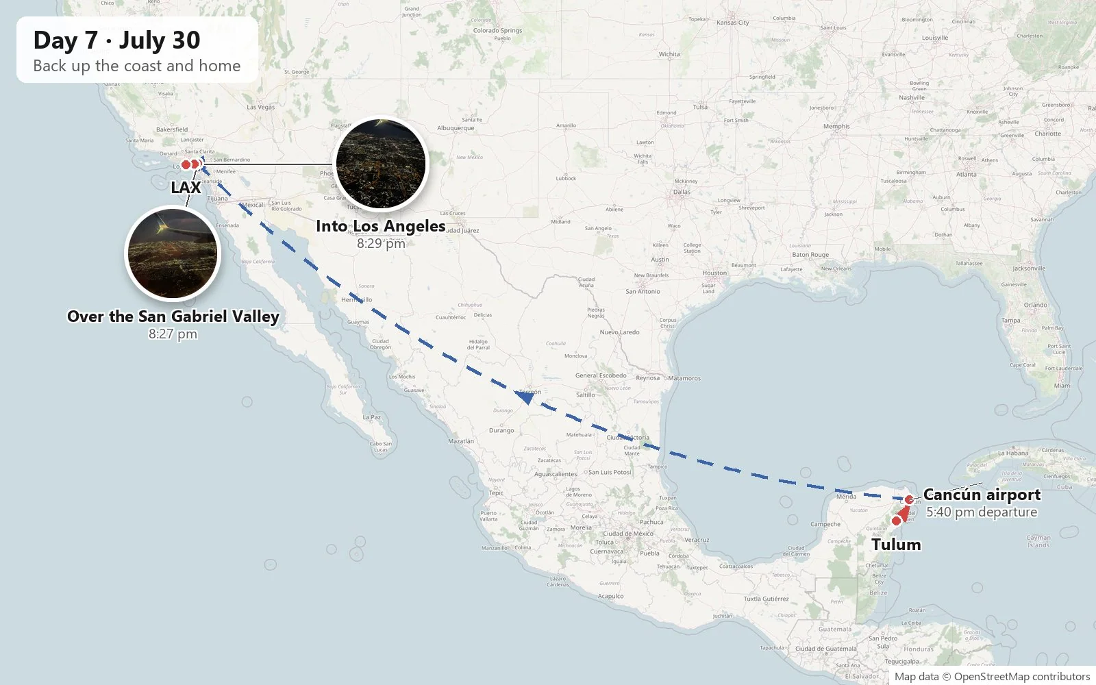
Saturday morning, and the hour or two from Tulum back to the airport at Cancún, went unrecorded. Our flight left at 5:40 in the afternoon, and the camera only comes back out at the other end, at dusk, as the plane came down over the eastern edge of Los Angeles. From up there the city at night is a grid of orange streetlights running to the horizon, with the dark lines of freeways cutting across it. We were due in at LAX at 8:43 pm, in a city two hours behind the Caribbean.
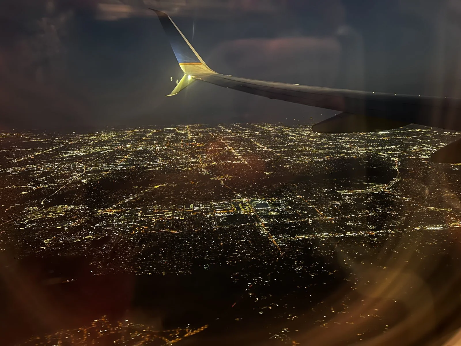
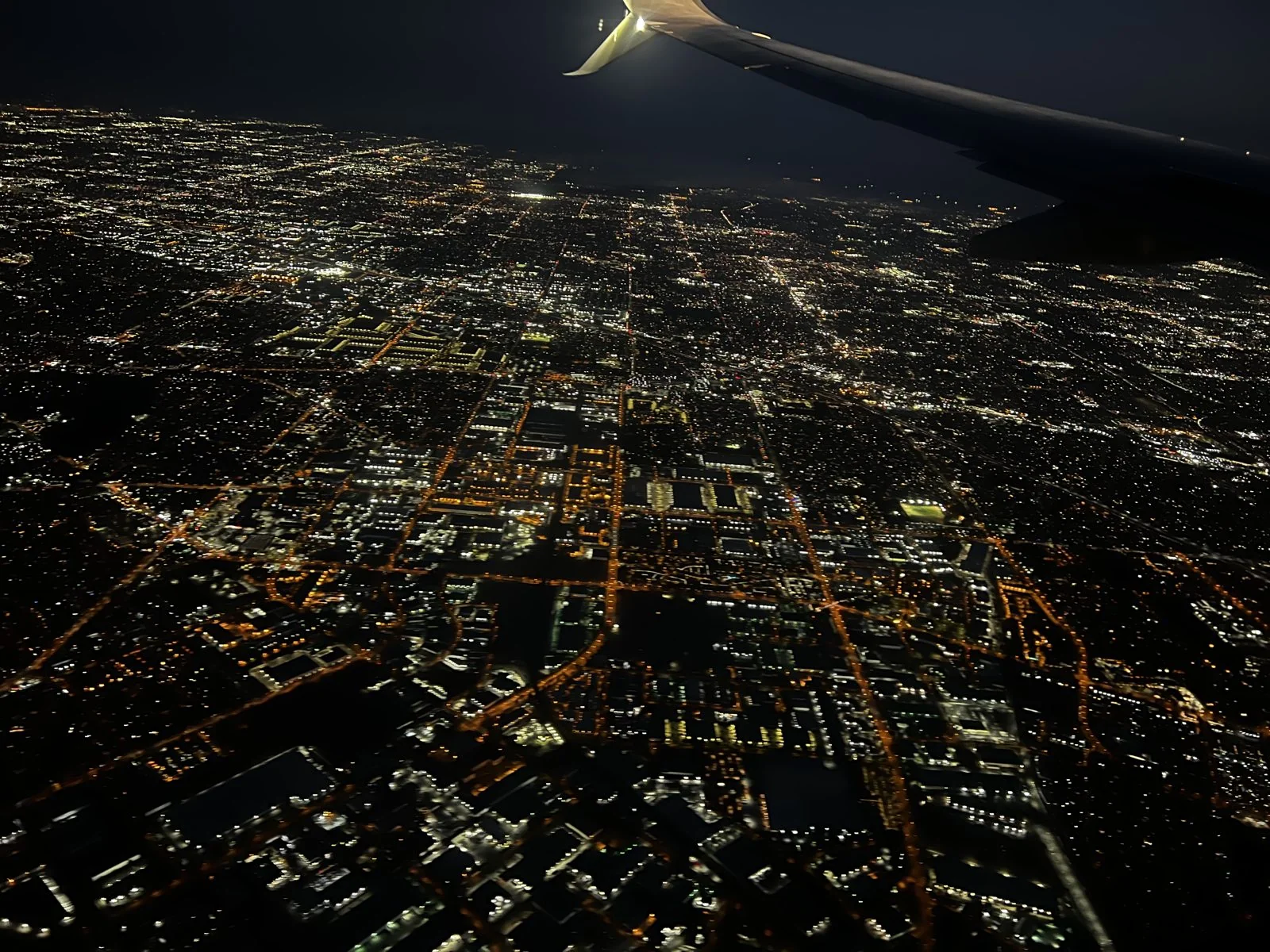
Ruins, reptiles and the sea
Lined up in order, the week is a set of contrasts. There's a planned resort city built on a sandbar fifty years ago, and two Maya cities that were old long before anyone thought of it. One of those is a pyramid that tells the time on an inland plain, the other a small walled port on a cliff. Underground there was a well you climb down a wooden staircase to swim in. Out in the water were two dolphins in the air at once and a turtle that ignored us completely. Ashore, the iguanas had taken over a city the Maya left centuries ago.
But mostly it was a week with friends, and those photos are not on this page. What's here is what the rest of us saw around them: the hook of Holbox under the wing, a stone serpent's staircase under rain clouds, gray stone on a gray afternoon above a gray-green sea, and the lights of home coming up under the wing at the end.
Maps built from the trip's photo timestamps and locations. Photo locations have been removed from the published images; group photos are left out, and some photos are cropped to leave people out. Day maps: map data © OpenStreetMap contributors; each stop is placed where its photo was taken, hotels and home are never marked, and the dashed lines show the order of stops, not the exact roads or flight paths.
Some photos in this post are my wife's.
Likes and comments
React with an emoji or leave a comment. Signing in with GitHub is required.