← Misc · 2022–2026
Where Los Angeles Runs Out of Land
Short afternoons on the coast, from Malibu to Long Beach.
Carbon Beach in Malibu → the Santa Monica Pier and the bluffs above it → Venice → Hermosa, Manhattan and Redondo Beach → the bluffs of Palos Verdes Estates → Wayfarers Chapel → Long Beach harbor and the Naples canals
One Route 66 sign · one glass chapel · two views of the Queen Mary · a lot of sunsets · and Wangcai on the last one
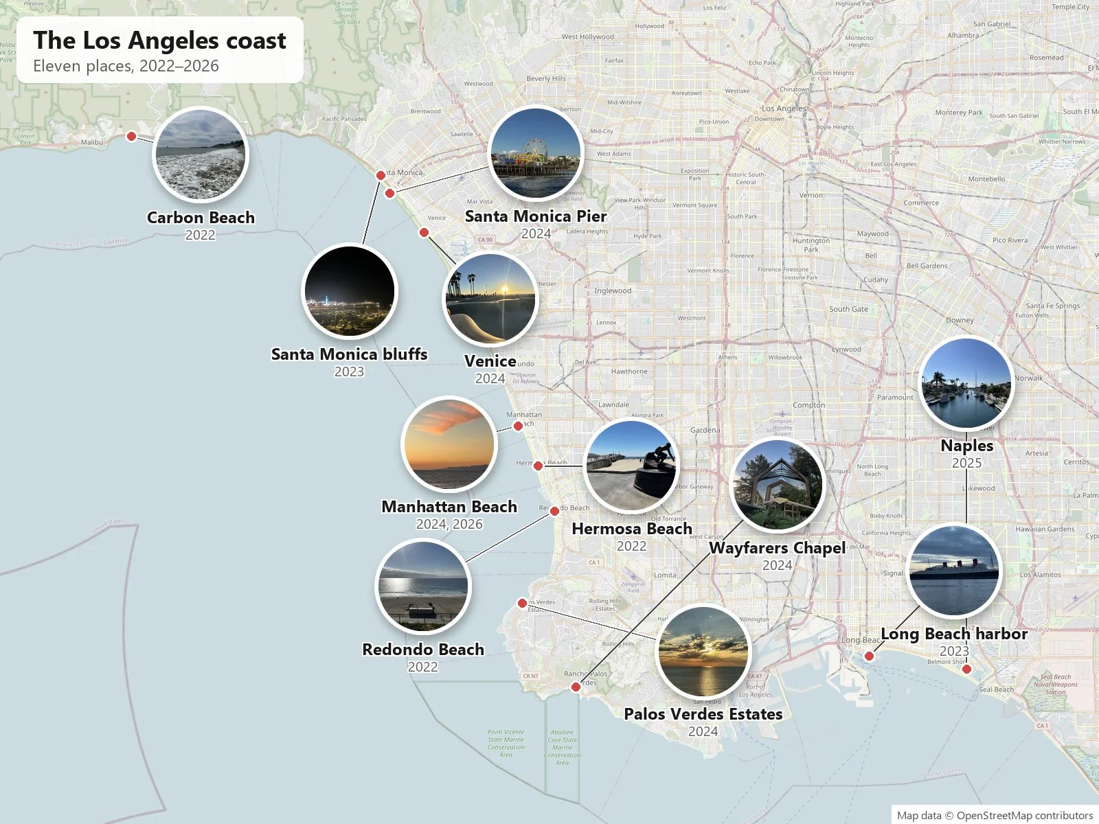
Most of the trips on this site are long drives. This post is the opposite: short afternoons on the coast of Los Angeles, usually an hour or two, often timed for the sunset. None of them had enough photos for a post of its own, so they are collected here, roughly from north to south.
As with the other posts here, everything below is reconstructed from the camera roll: what was photographed, where, and at what minute. The 2022 and 2023 photos are almost all mine; from 2024 on many are my wife's, from afternoons we spent together.
Malibu and Santa Monica
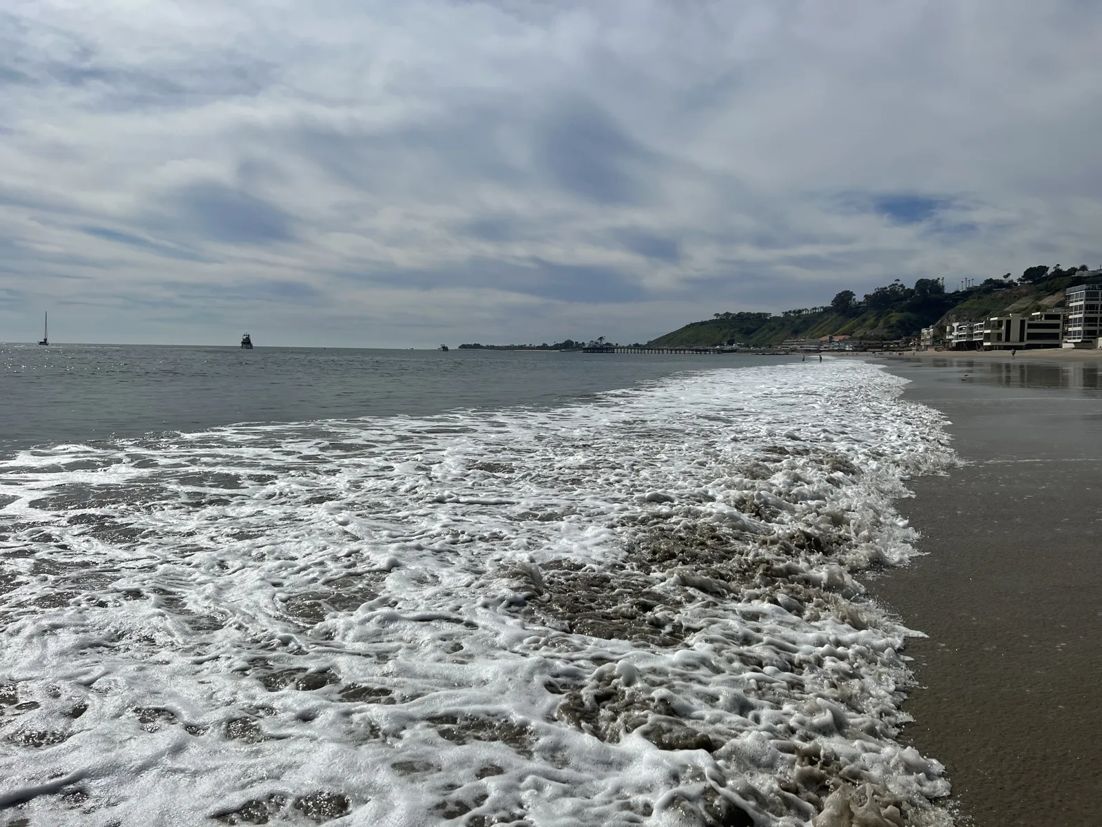
The earliest one is from Carbon Beach in Malibu, on February 26, 2022. The beach sits below a long row of houses, and the way down is a narrow public walkway between two of them. At 1:22 pm the tide was coming in over flat wet sand, with the hills of Malibu running off to the west.
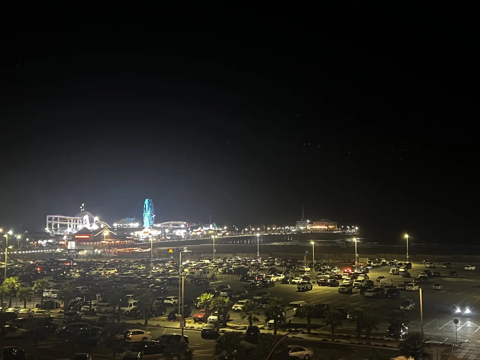
In Santa Monica, one January evening in 2023, at 6:18 pm, the pier was a strip of lights out on the dark water, seen from the bluff above it, with the big parking lot on the sand below.
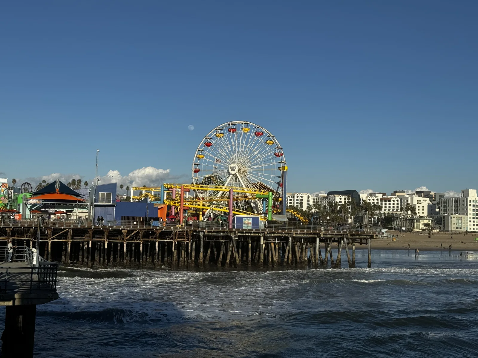
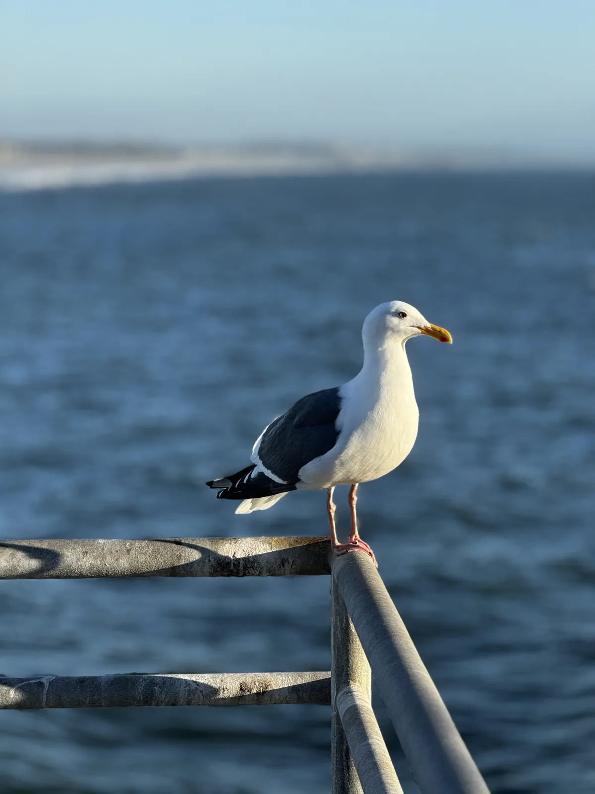
A year later, on January 23, 2024, we walked out onto the Santa Monica Pier in the afternoon. The Ferris wheel and the yellow roller coaster of Pacific Park stood at the far end against a clear blue sky (the park has its own section in the amusement parks post). A few minutes later a gull was standing on the railing.
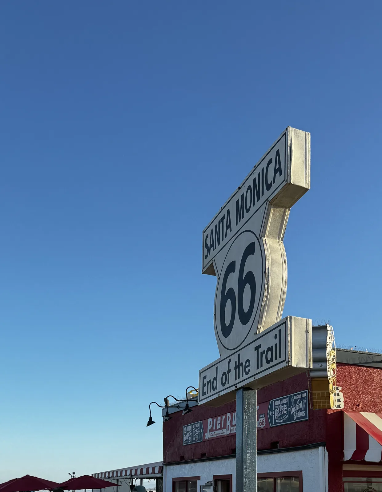
Near the entrance to the pier stands a sign: a shield with "Santa Monica 66" and, below it, "End of the Trail", for the end of Route 66.
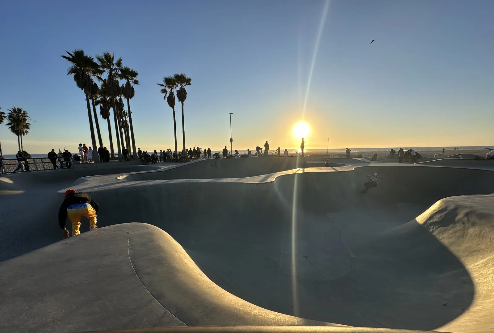
A little further south is Venice. On January 5, 2024, we walked along the boardwalk in the late afternoon and ended up at the skatepark on the sand. At 4:25 pm the sun was low over the ocean behind the palms, and a skater was climbing out of one of the bowls.
The South Bay
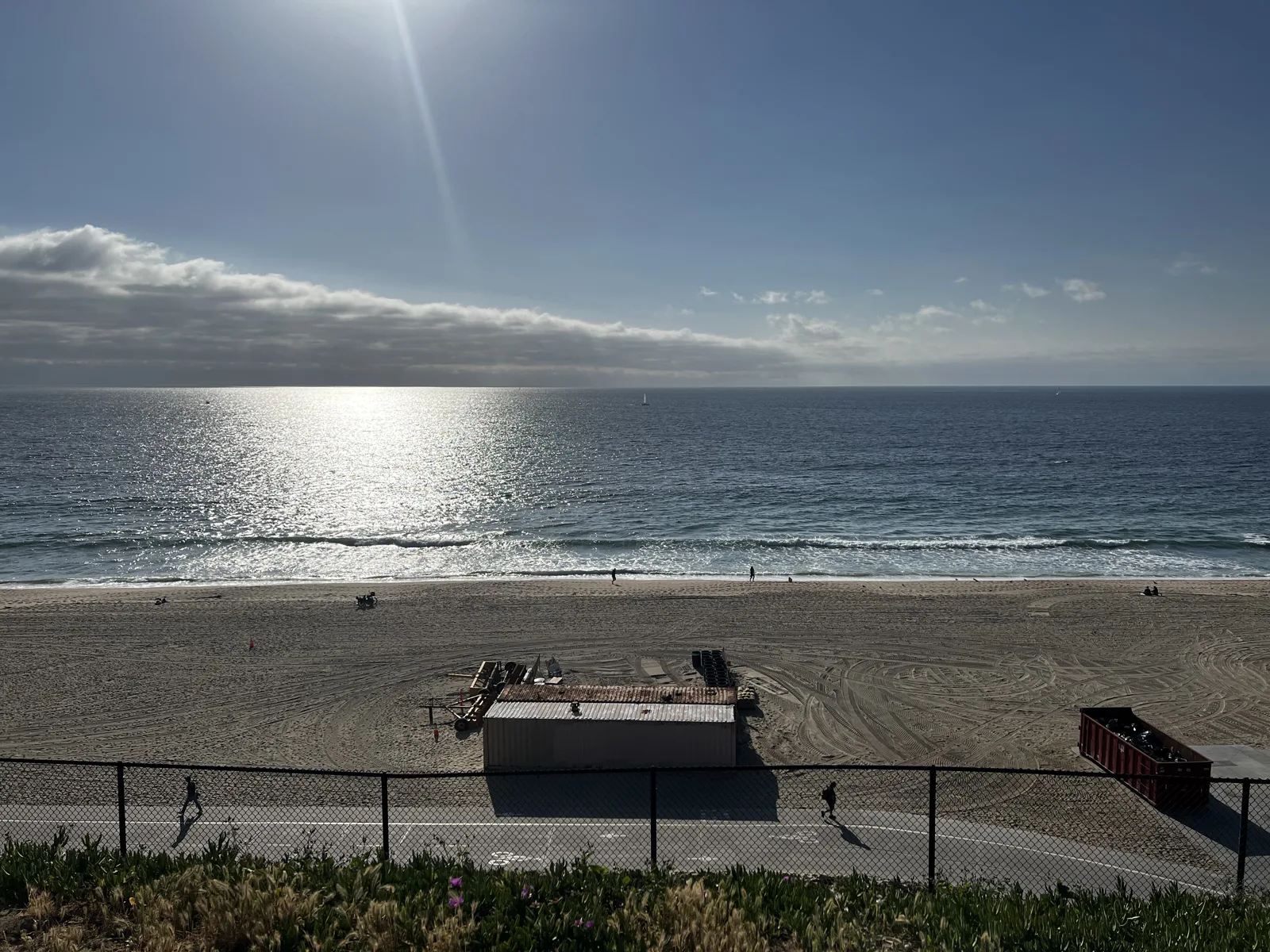
South of the airport the coast becomes the South Bay: Manhattan Beach, Hermosa Beach and Redondo Beach, one after another, each with its own pier. In 2022 I went to two of them. On March 27, with friends, it was the Redondo Beach Esplanade, the road along the top of the bluff. At 5:04 pm the sun was laying a bright path across the water, and a little later we walked out on a rock jetty.
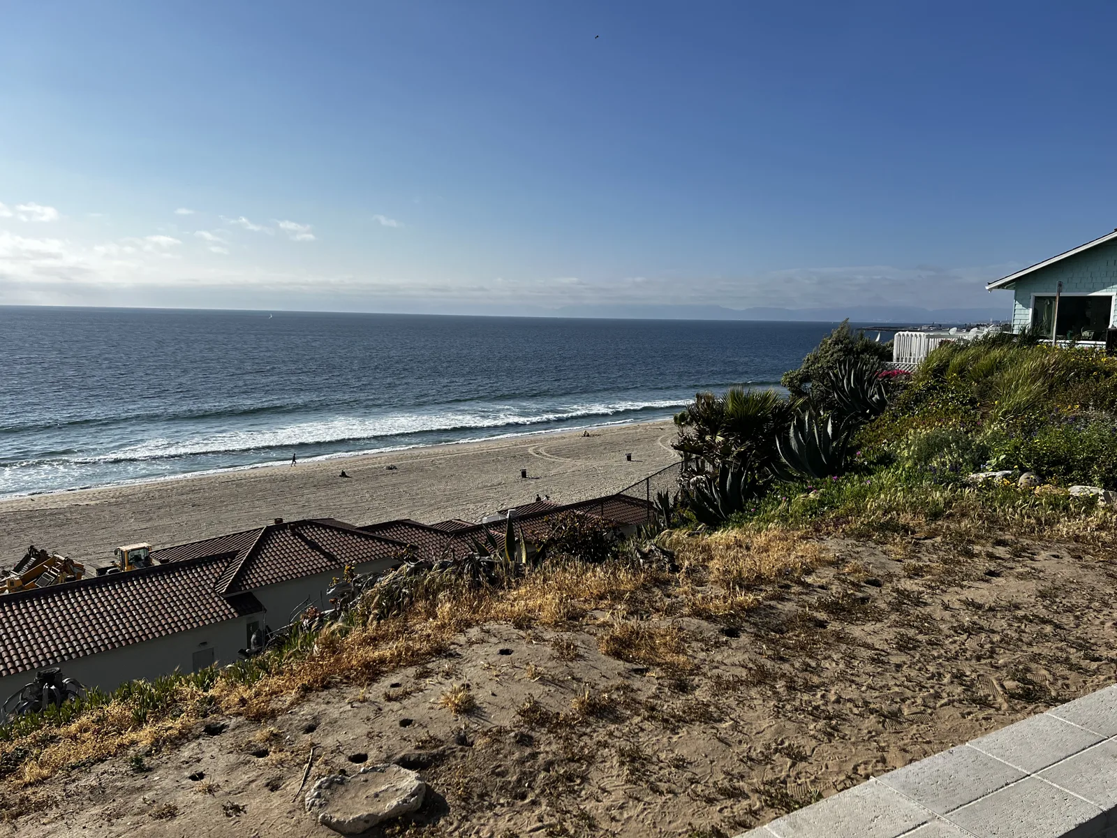
On June 6, 2022, it was Hermosa Beach and its Pier Plaza. On the plaza, a bronze surfer crouches on his board on a round pedestal, facing the sand.
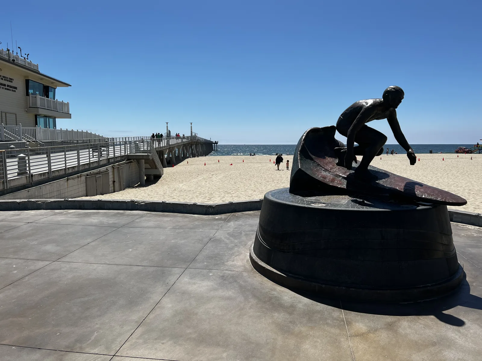
Two of our Manhattan Beach evenings are in the photos. The first was on March 9, 2024, at sunset. From the end of the pier at 5:48 pm, two ships were waiting offshore, with a line of hills on the horizon behind them. Six minutes later, looking back toward land, the pier ran straight in to the town, with people lined along its railings.
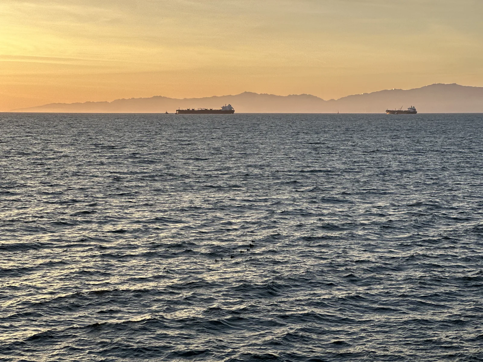
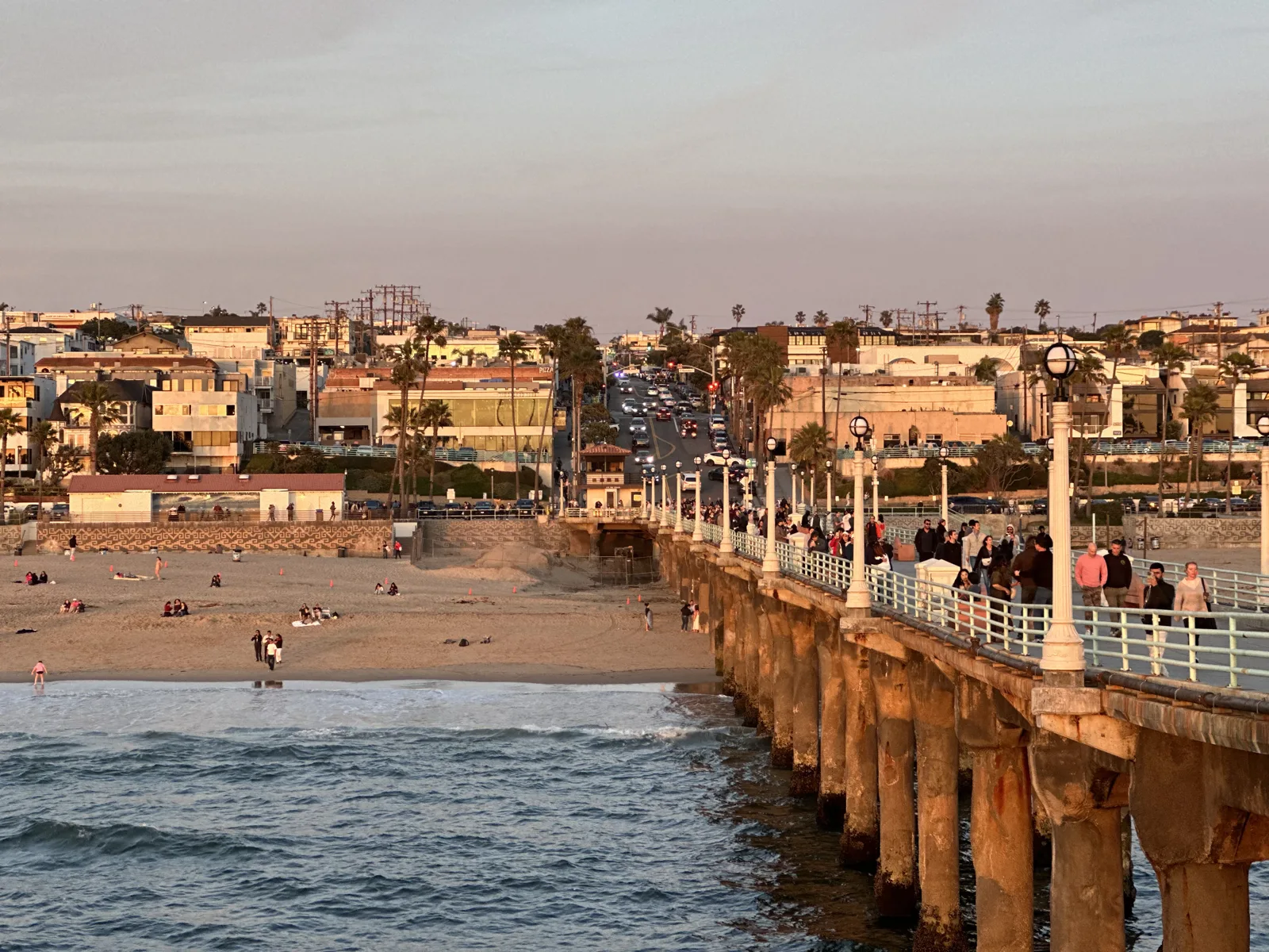
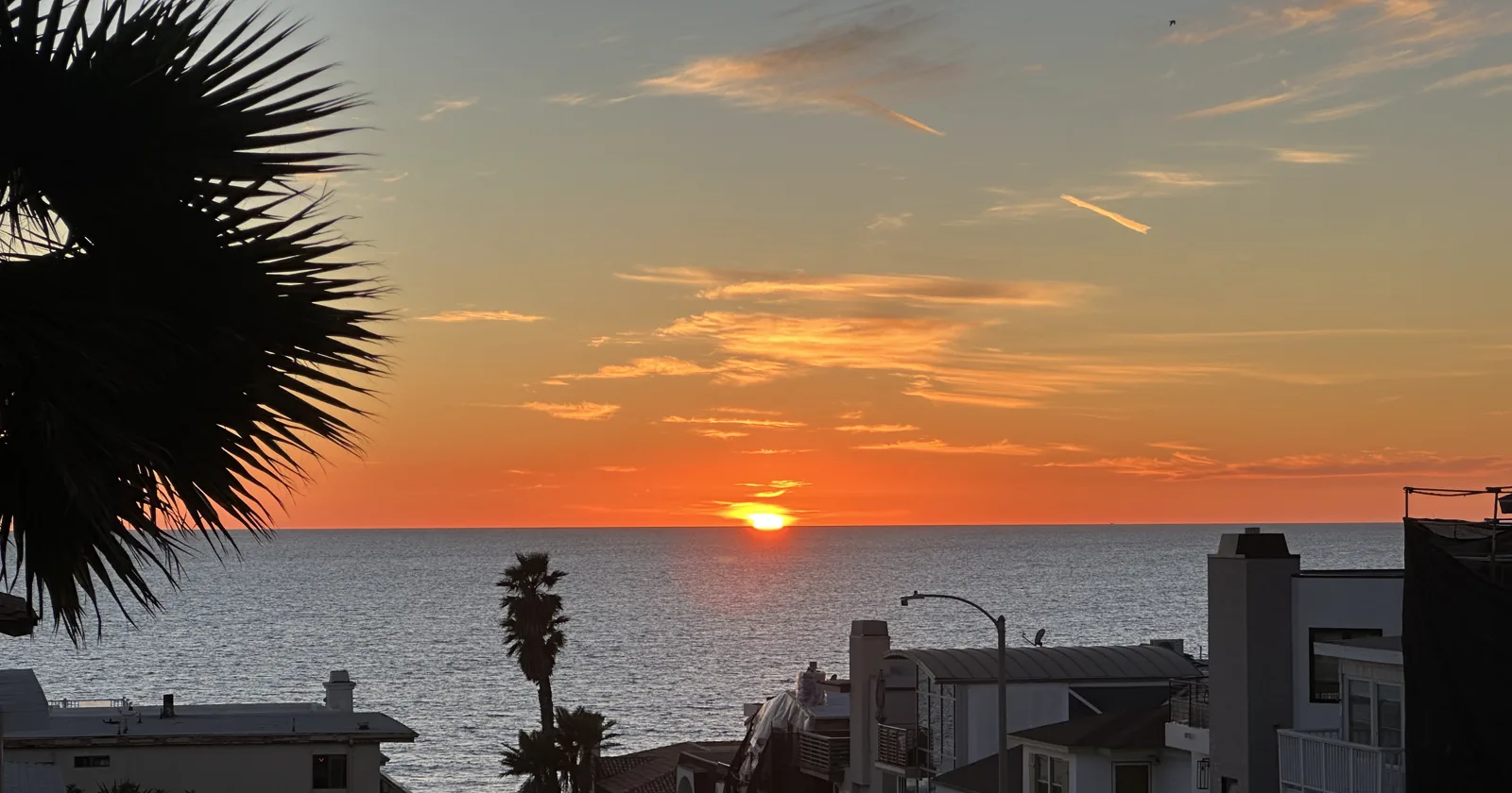
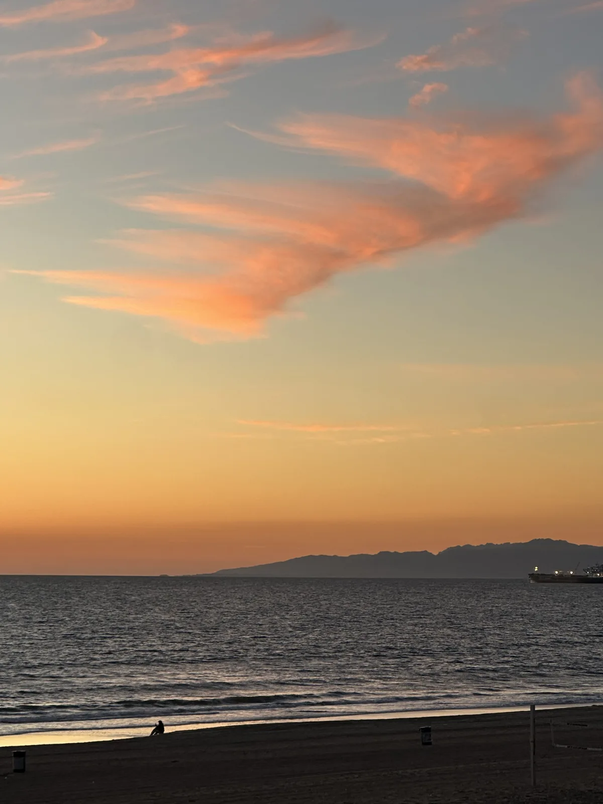
The second time was almost two years later, on February 21, 2026, and this time Wangcai came along. At 5:43 pm the sun was setting at the bottom of one of the streets that run down the hill to the beach. Ten minutes later the sun was gone, and the clouds over the water had turned pink and orange.
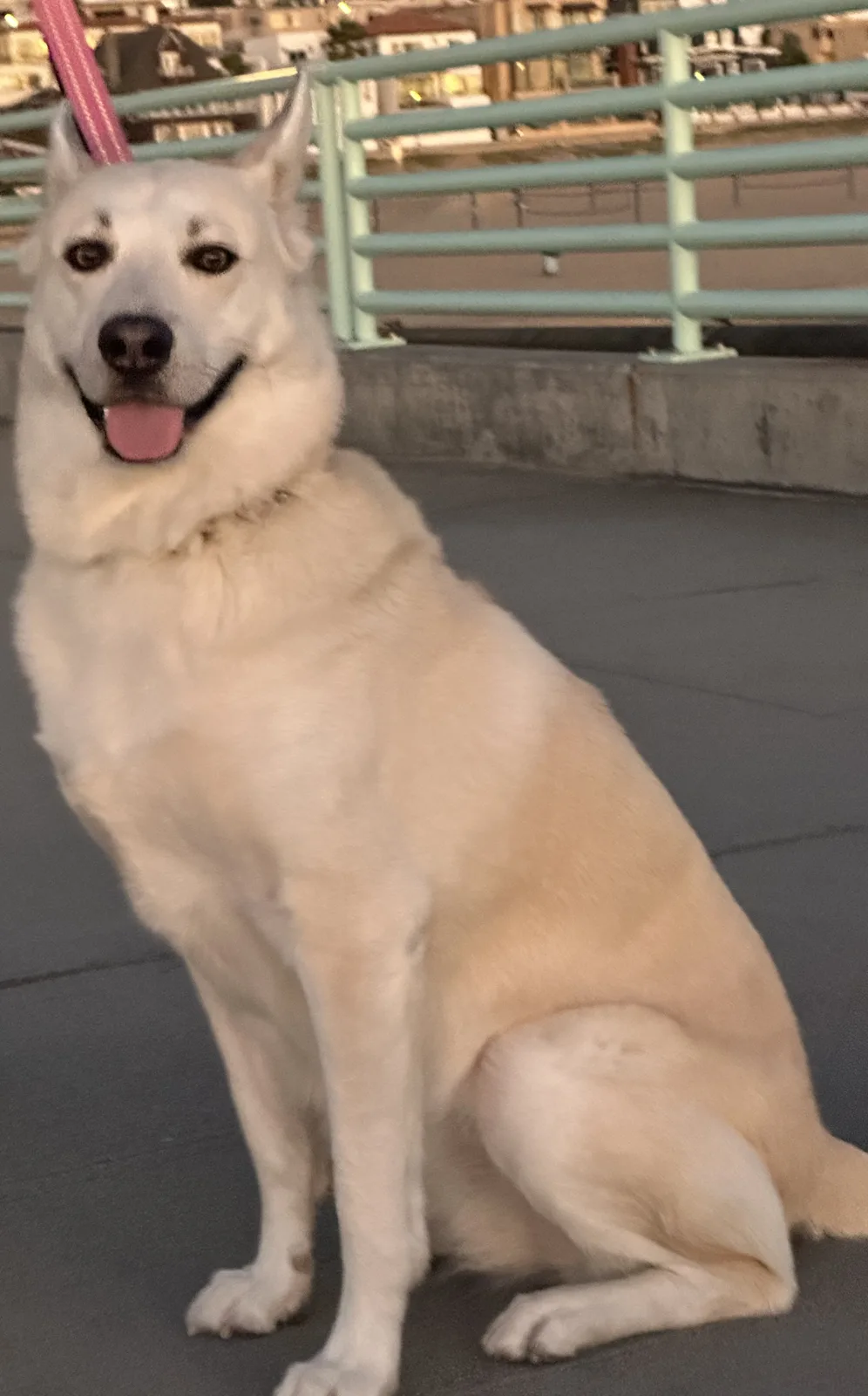
By 6:04 we were at the foot of the pier, and Wangcai sat for her photo by the railing, in her pink leash, with the houses on the hill behind her.
Palos Verdes
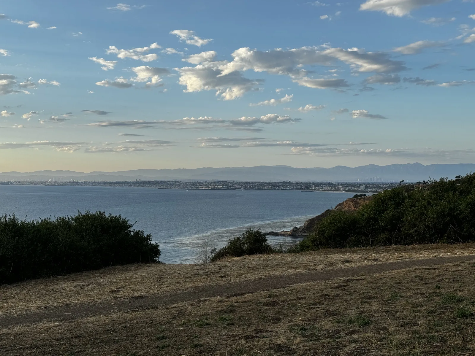
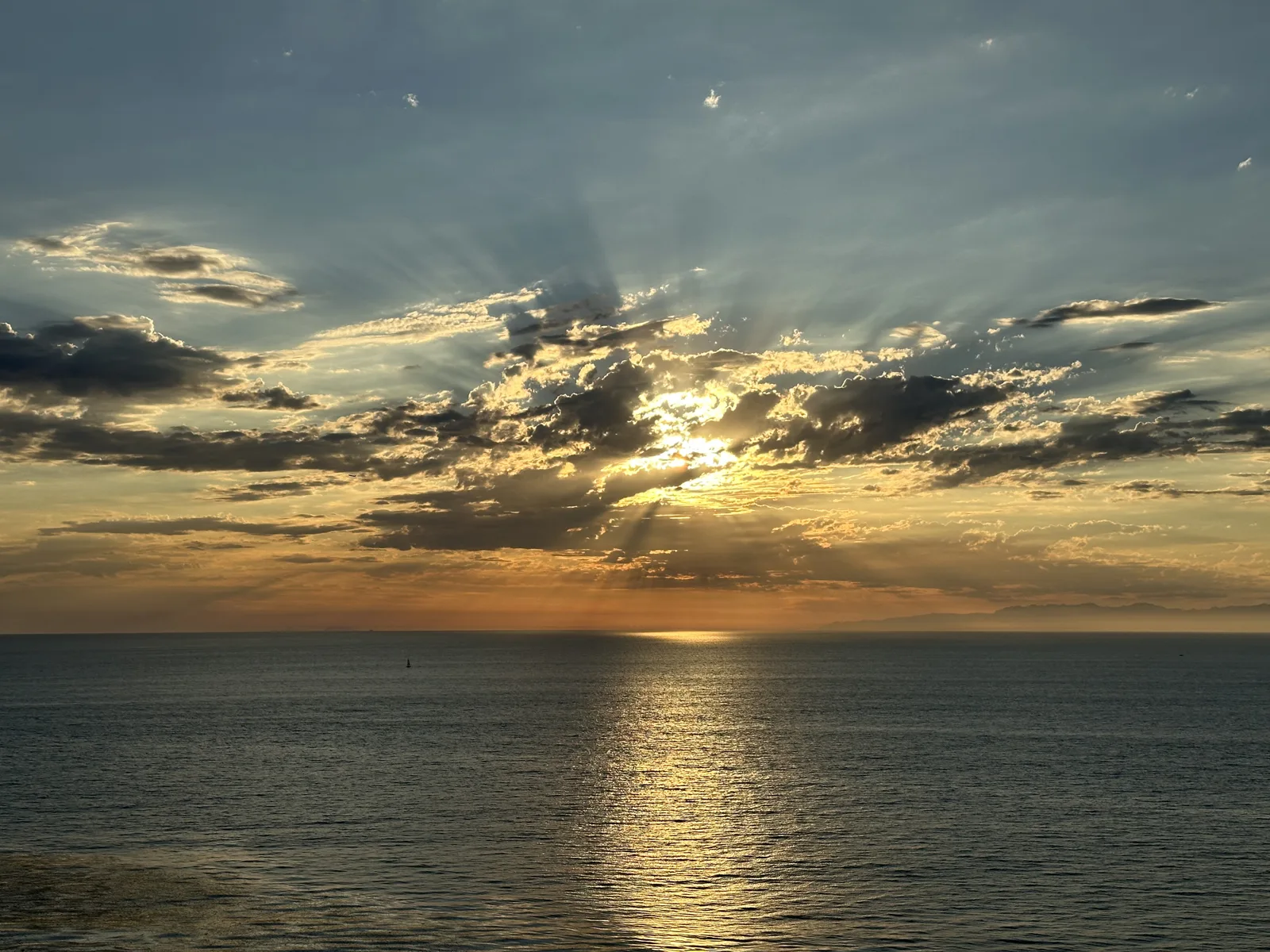
South of Redondo the beaches end and the coast rises into the Palos Verdes Peninsula. On June 23, 2024, we stopped on the bluffs along Paseo del Mar in Palos Verdes Estates just before sunset. Along the coast, the curve of the bay ran back toward the city under small white clouds. Looking west, at 7:35 pm, the sun was behind a band of clouds, sending rays up across the sky and a path of light down onto the water.
Wayfarers Chapel
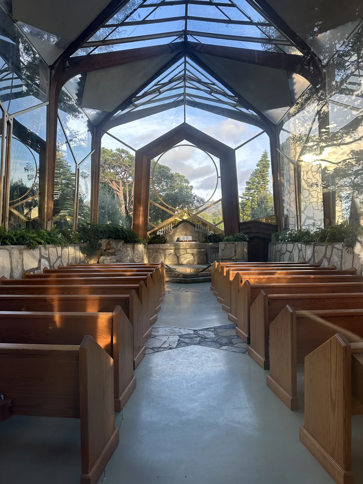
Earlier that year, on January 14, 2024, we spent the early afternoon at King Harbor in Redondo Beach and then drove down the peninsula to Wayfarers Chapel, the glass chapel designed by Lloyd Wright in Rancho Palos Verdes. The walls and roof are glass set in a frame of wood and stone, so from inside the pews you look straight out into the trees.
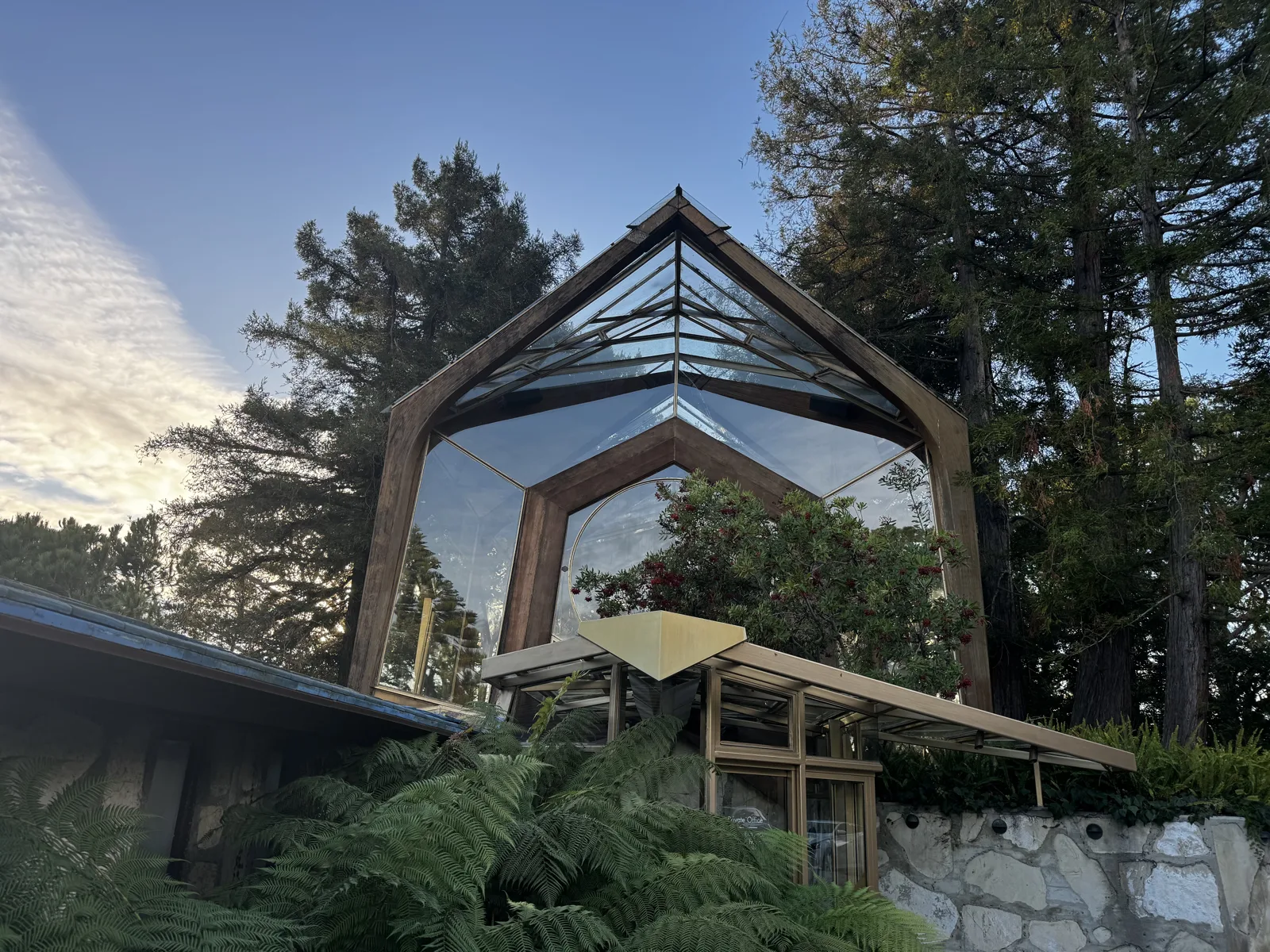
Outside, the chapel stands among tall trees, next to a stone tower and a low stone building with bird-of-paradise flowers in front.
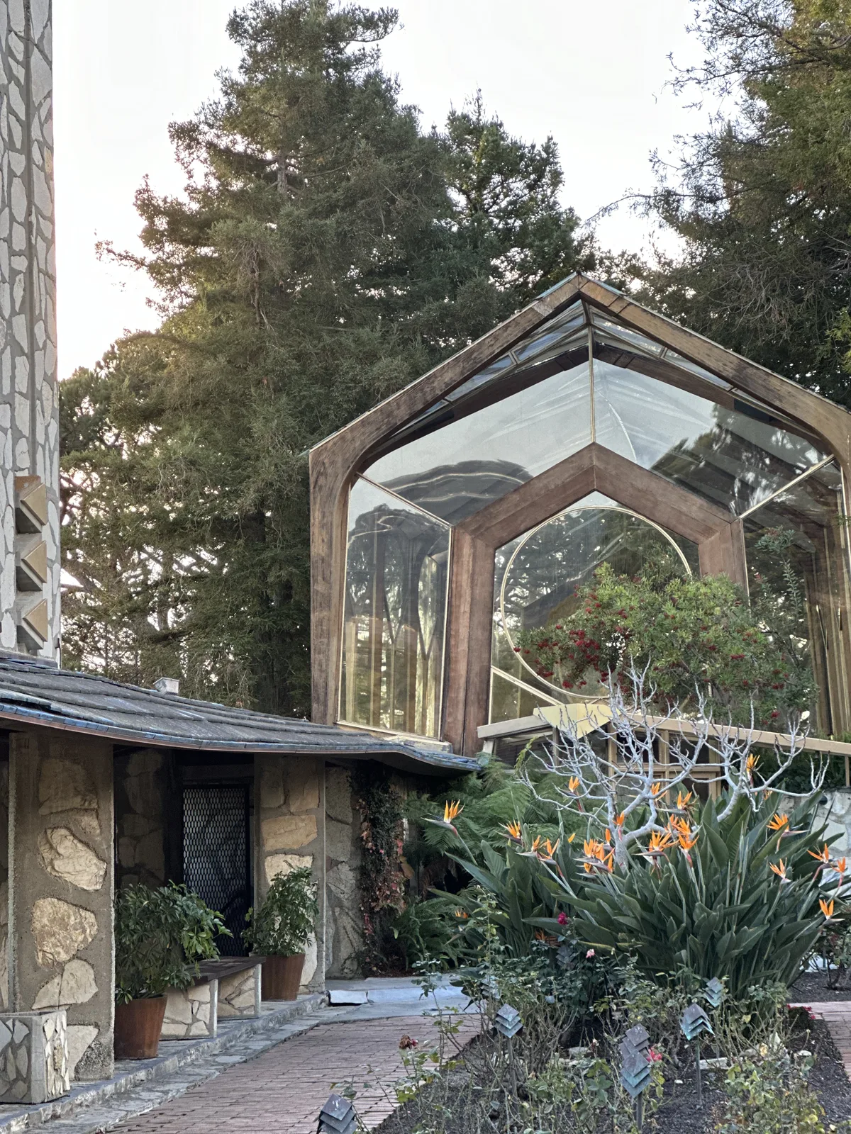
The chapel stood on the edge of a slow landslide. The next month, in February 2024, it closed because the ground under it was moving, and later in 2024 it was taken apart.
Long Beach
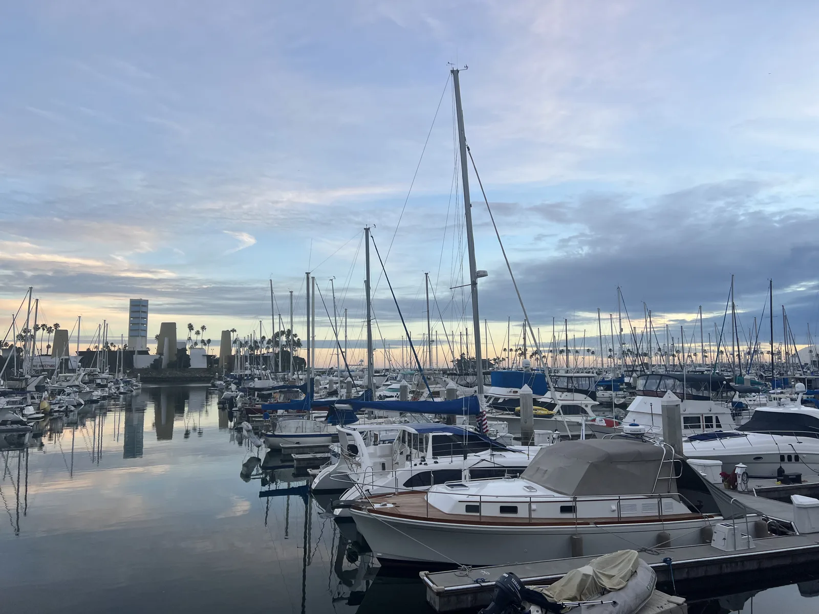
Long Beach is at the other end of the bay, past the ports. On January 8, 2023, at 4:49 pm, the marina by Shoreline Village was full of sailboats under a sky turning pink, with the downtown towers behind the masts. Across the water lay the Queen Mary, the old ocean liner moored in Long Beach. At 5:02 her three red funnels stood out against the evening clouds.
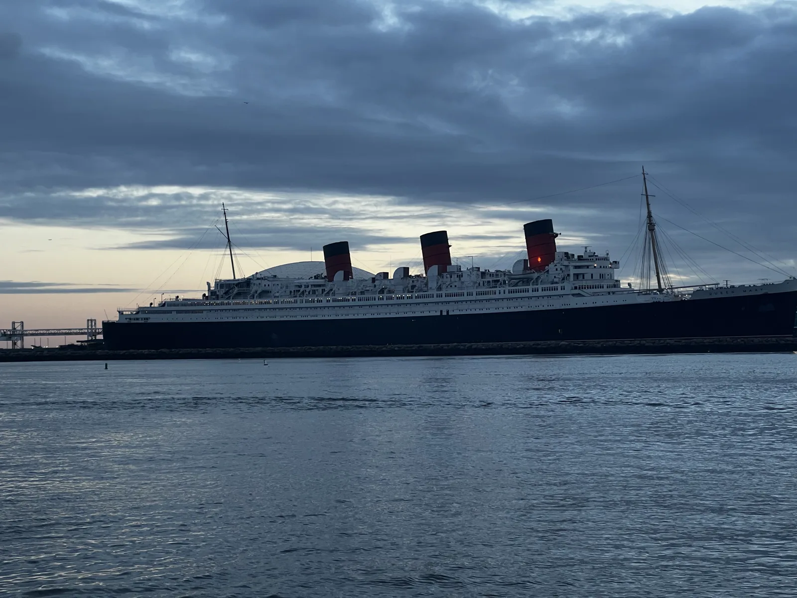
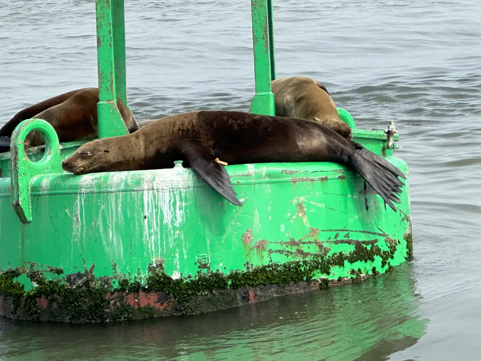
Two months later, on March 11, 2023, we saw the Queen Mary again, this time from the water, on a short boat ride around the harbor on a gray afternoon. The ride started at 1:19 with a green buoy that sea lions had taken over, three or four of them asleep on its base.
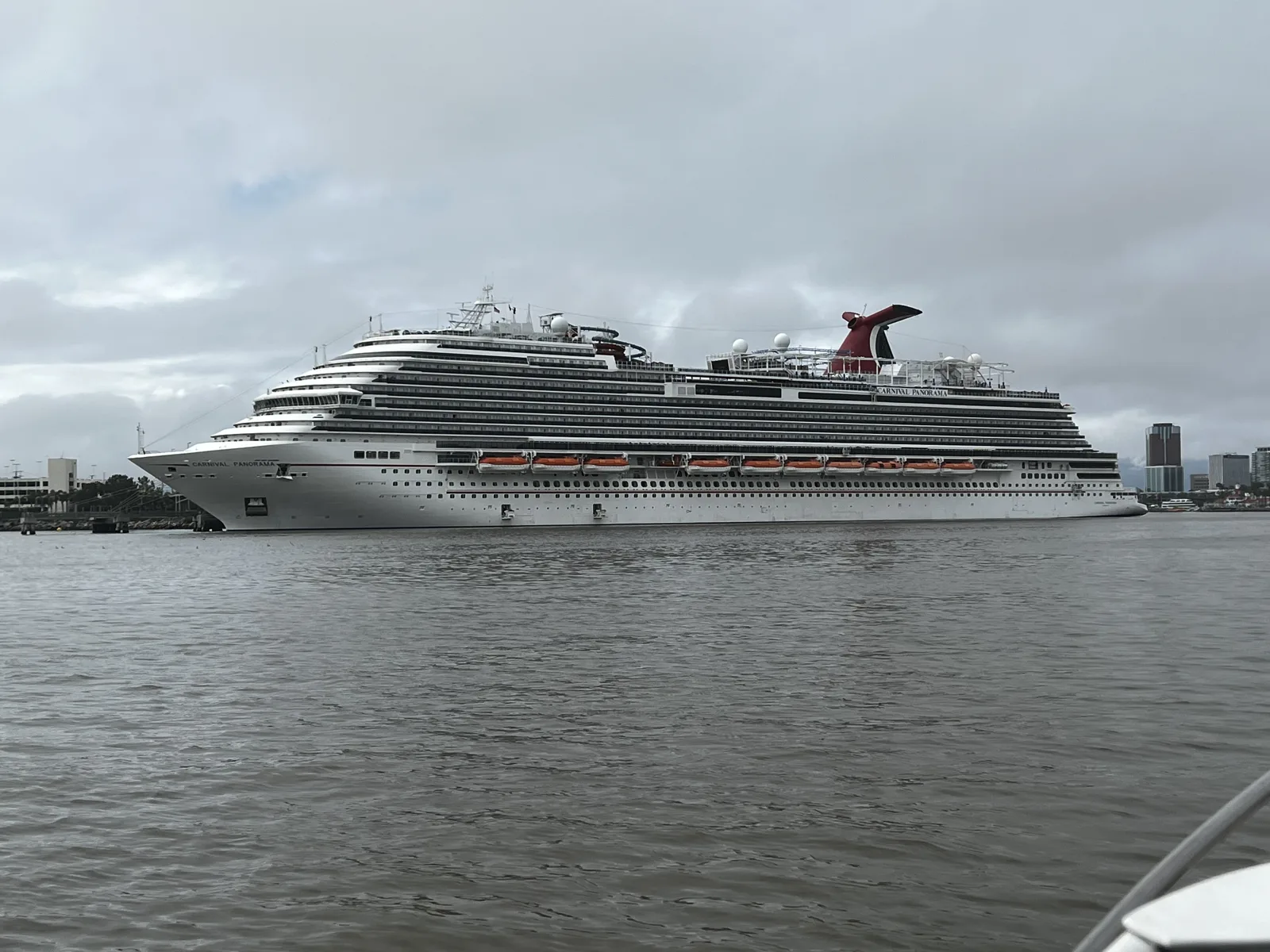
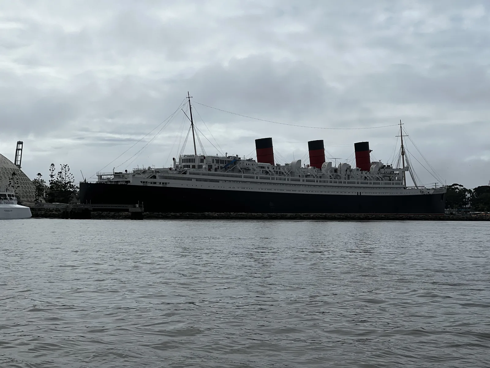
At 1:37 pm the boat passed a Carnival cruise ship, and three minutes later the Queen Mary herself.
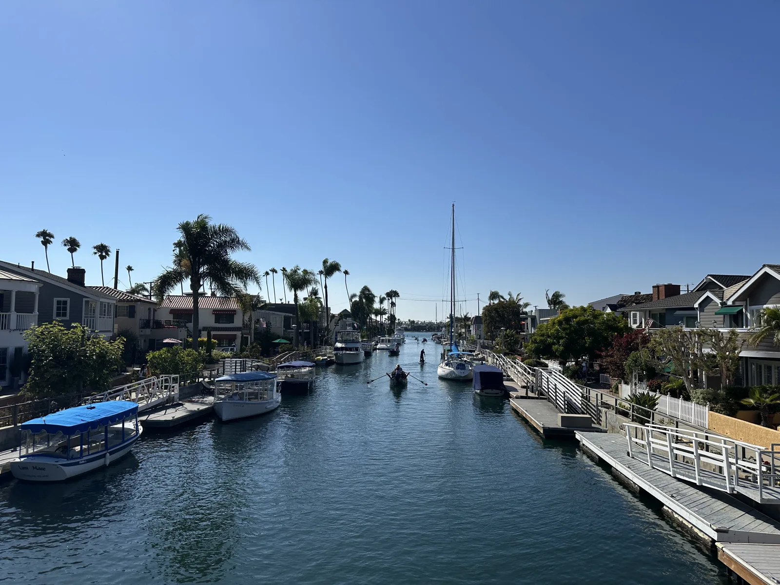
The last Long Beach photo is from Naples, the neighborhood of canals on the east side of the city. On August 16, 2025, at 4:21 pm, a canal ran straight between rows of houses with boats tied up at their docks.
January 10–11, 2025
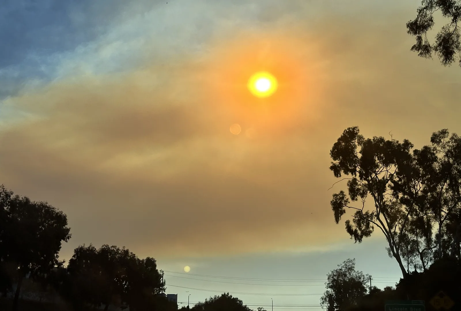
On January 10, 2025, three days after the Palisades and Eaton fires broke out, we drove west to Santa Monica in the afternoon. At 2:49 pm, from the freeway, the sun was an orange disc in a sky of brown smoke.
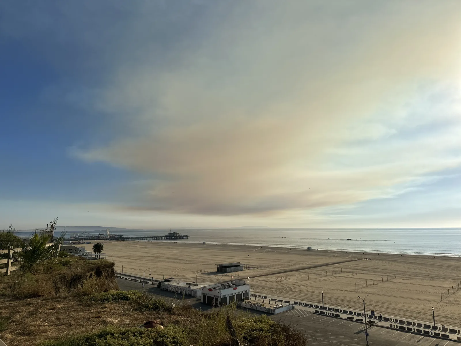
From the bluffs above the beach at 3:08, a band of smoke lay over the bay and the pier. By 3:21, a white plume from the Palisades Fire was rising from the mountains up the coast. Later that afternoon we went on to the Baldwin Hills, which are in the views from above post.
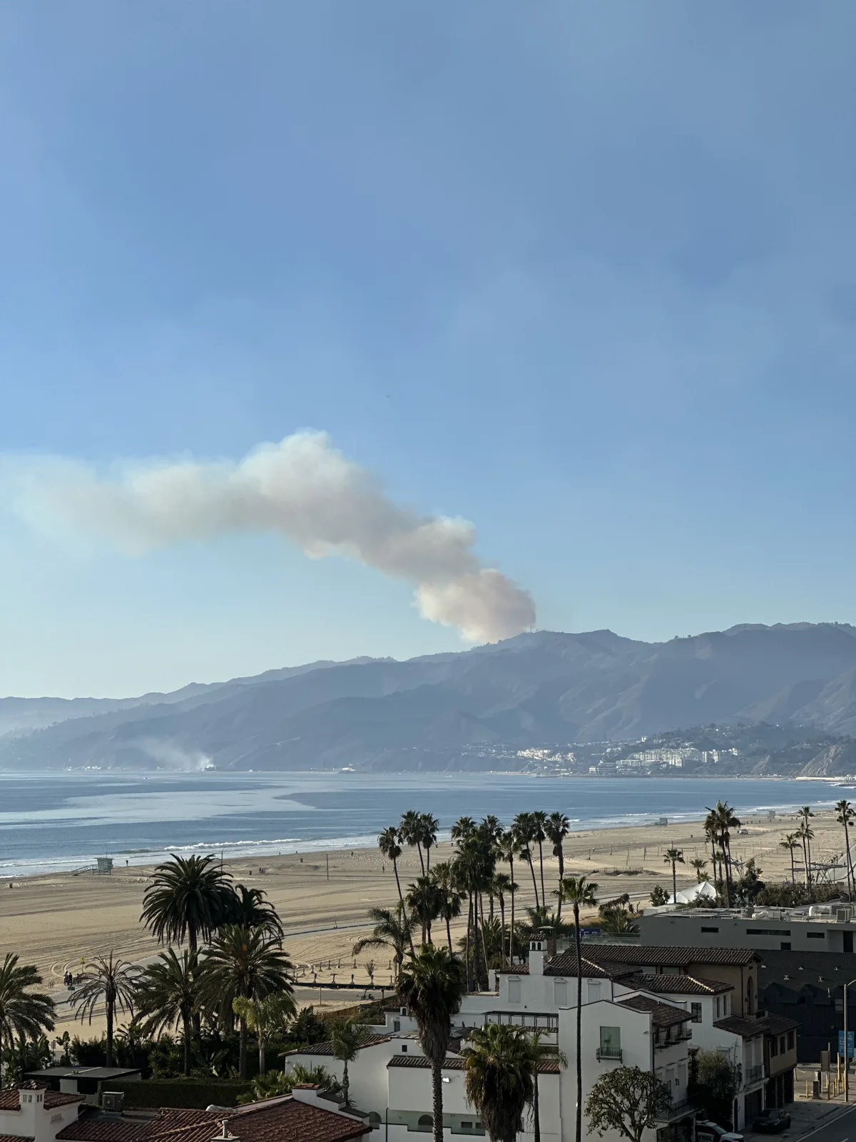
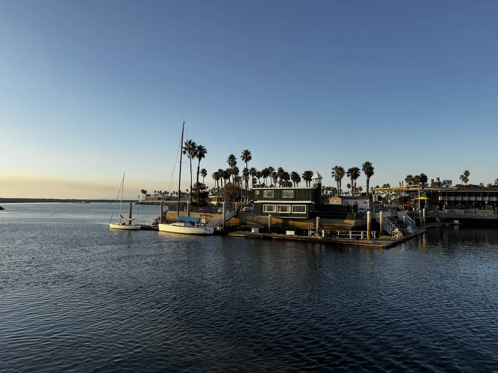
The next day we were in Redondo Beach. At 4:24 pm the boats in King Harbor sat on calm water under a clear sky, and by 4:56, on the beach, the sun was going down into a dark band of haze over the water.
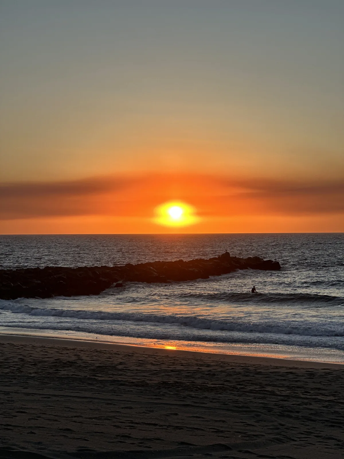
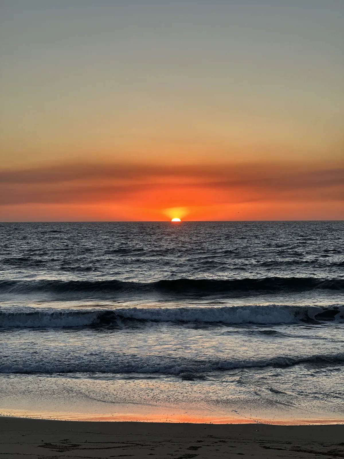
At 5:04 the last of the sun sank under a red band of haze.
That is most of what the camera roll holds of the Los Angeles coast: short afternoons, a lot of sunsets, and a few places, like the glass chapel, that are no longer there to visit.
Map built from the photos' timestamps and locations. Photo locations have been removed from the published images. Map data © OpenStreetMap contributors; each place is marked where its photos were taken, and home is never marked.
Some photos in this post are my wife's.
Likes and comments
React with an emoji or leave a comment. Signing in with GitHub is required.