← Misc · April 2026
Four Days on the Garden Isle
Kauaʻi's North Shore, a valley of taro, and a canyon at sunset.
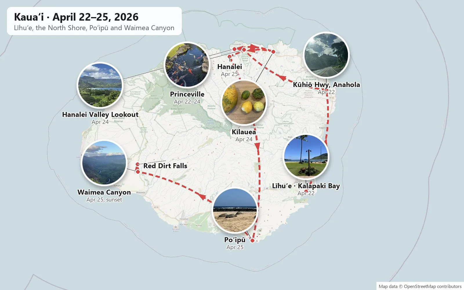
Līhuʻe → lunch on Kalapaki Bay → north on the Kūhiō Highway → Princeville → Hanalei → Hanalei Valley Lookout → Kīlauea → Kapaʻa → Poʻipū → Waimea Canyon Drive → Red Dirt Falls
One rental car · one nēnē · one cat in an egg chair · a beach of green sea turtles · one canyon in the last hour of sun
In April 2026 we spent April 22 to 26 on Kauaʻi. We stayed on the North Shore, in Princeville, and used a rental car to get everywhere else. The camera rolls cover the first four days.
As with the other posts here, everything below is put together from the camera roll: what was photographed, where, and at what minute. This time most of that camera roll is my wife's. I took only a few dozen photos on this trip; she took a few hundred. My own phone only woke up properly at the end, at Waimea Canyon, where we were both photographing the same view. All times are Hawaiʻi time.
Day 1: Līhuʻe and Kalapaki Bay
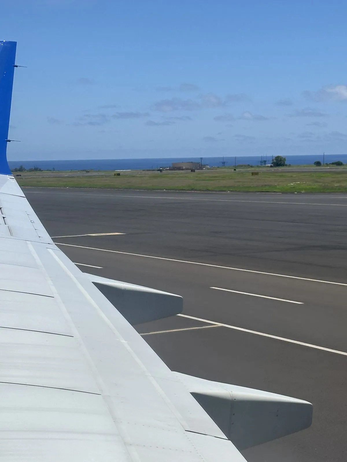
My wife's first photo of the trip is the wing of our plane on the runway at Līhuʻe, at 11:37 on Wednesday morning, with the ocean just beyond the end of the airfield. A quarter of an hour later we were on the shuttle to the rental lot, and by a quarter past twelve we were driving out of the airport.
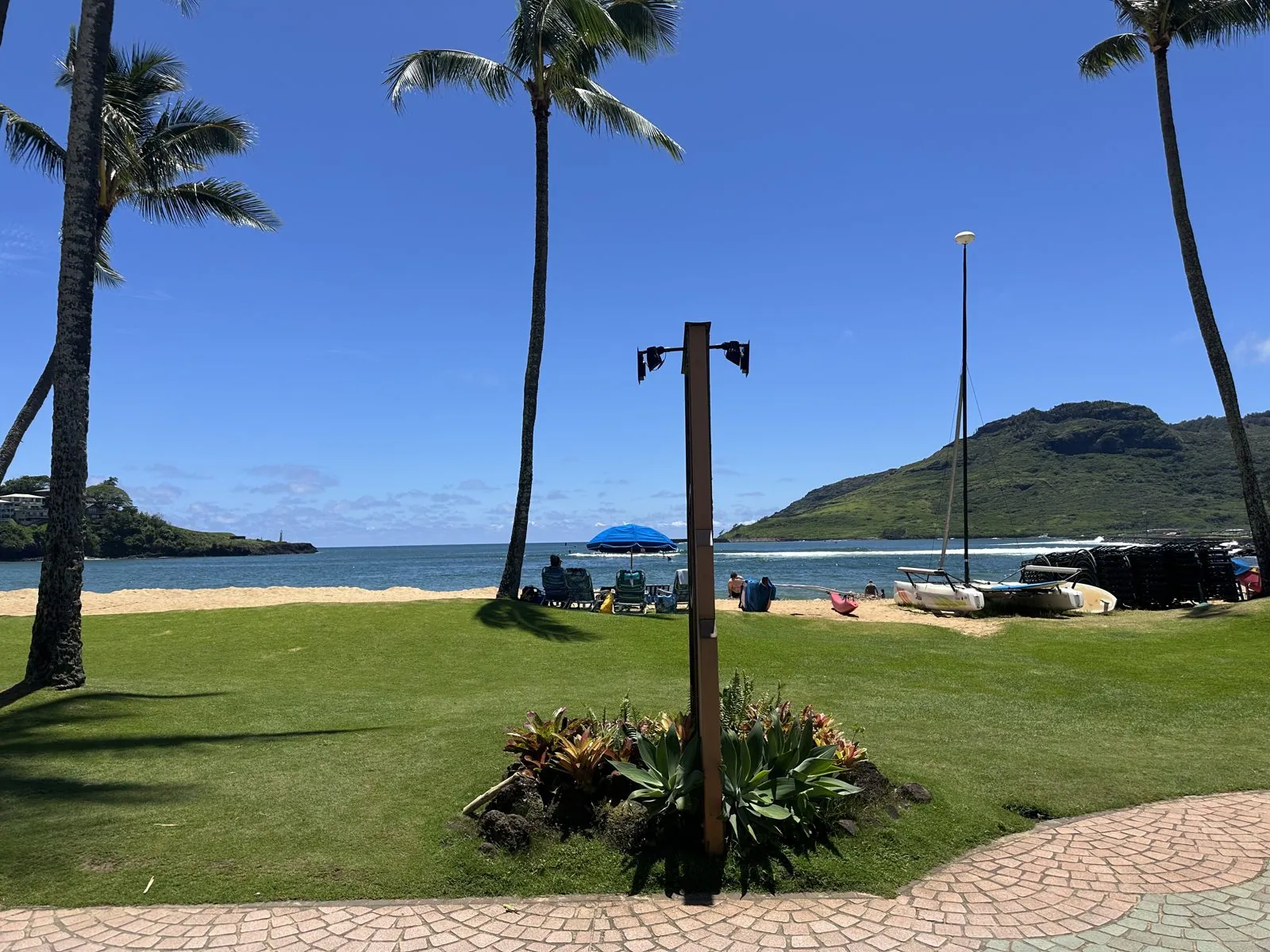
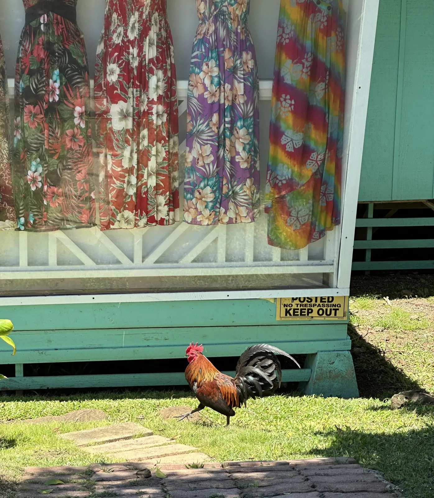
Lunch was a few minutes away at Duke's Kauaʻi, on Kalapaki Bay in Nāwiliwili. The restaurant opens onto a lawn with palms and a paved path, and beyond the lawn is the beach and the bay, with a green ridge rising on the far side of the water. Next to the path stood a small green stall hung with aloha-print dresses, and in front of it, a rooster was walking across the grass.
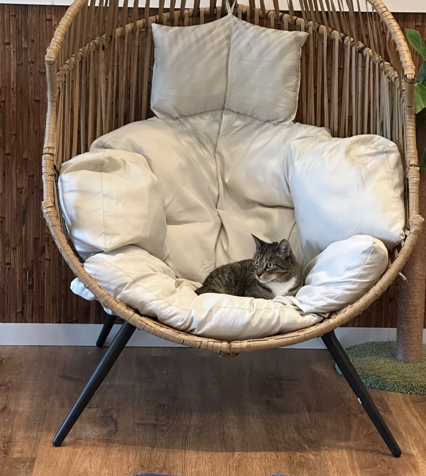
We ate on the open-sided terrace, looking out at the bay, and finished with a slice of chocolate pie. After lunch we stayed in Līhuʻe a little longer for a cat café. Most of my wife's photos there are of other visitors with the cats. The one without anyone in it shows a tabby curled up in the middle of a rattan egg chair, among the cushions.
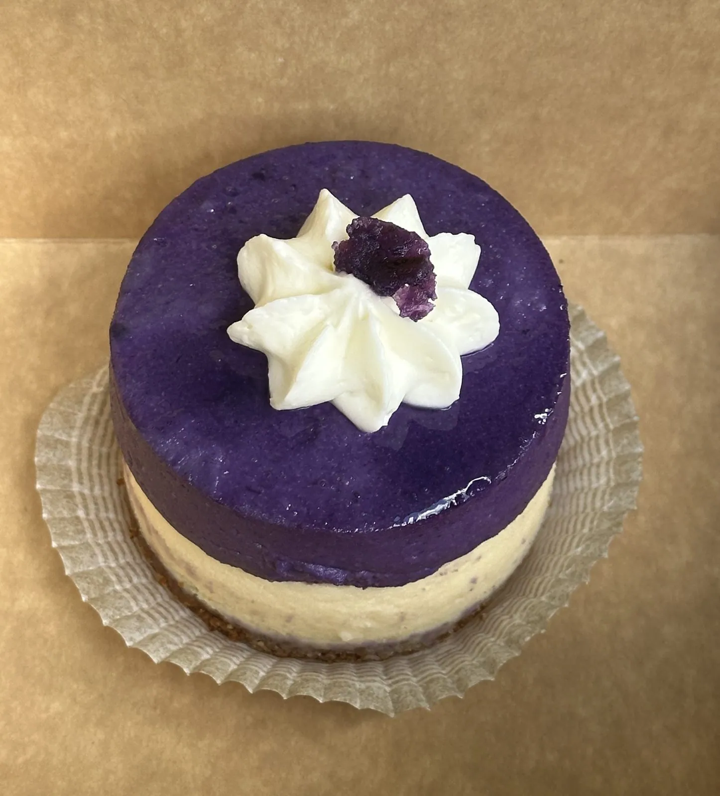
Then came a small purple mousse cake, with a cream layer underneath and a star of whipped cream on top: the first of two purple things on this trip.
North to Princeville
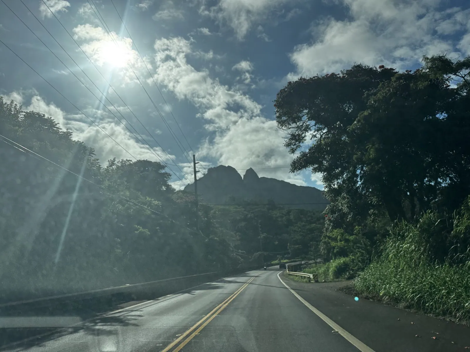
In the late afternoon we drove north on the Kūhiō Highway, the road up the east side of the island. At 4:38, near Anahola, I took one of my few photos of the first day: the road running under a dark canopy of trees, straight toward a jagged peak, with the sun breaking through the clouds above it.
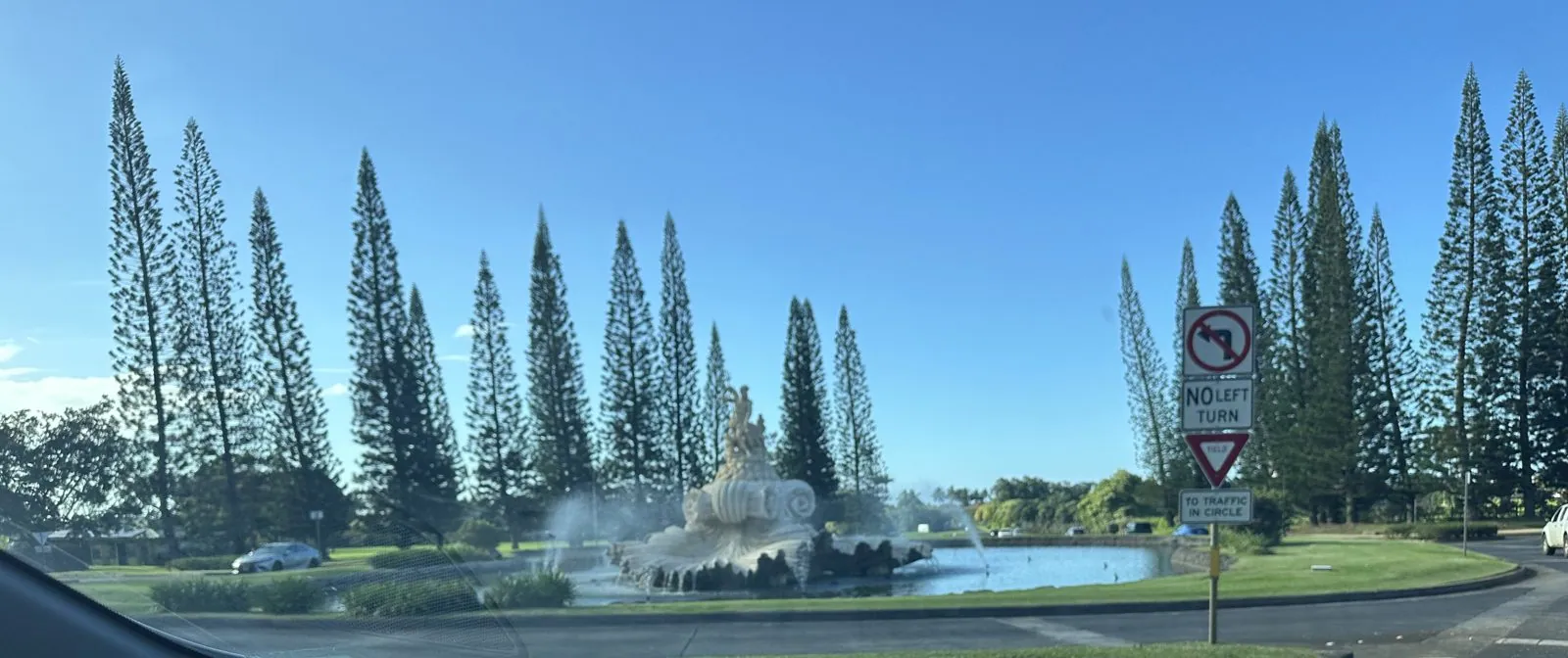
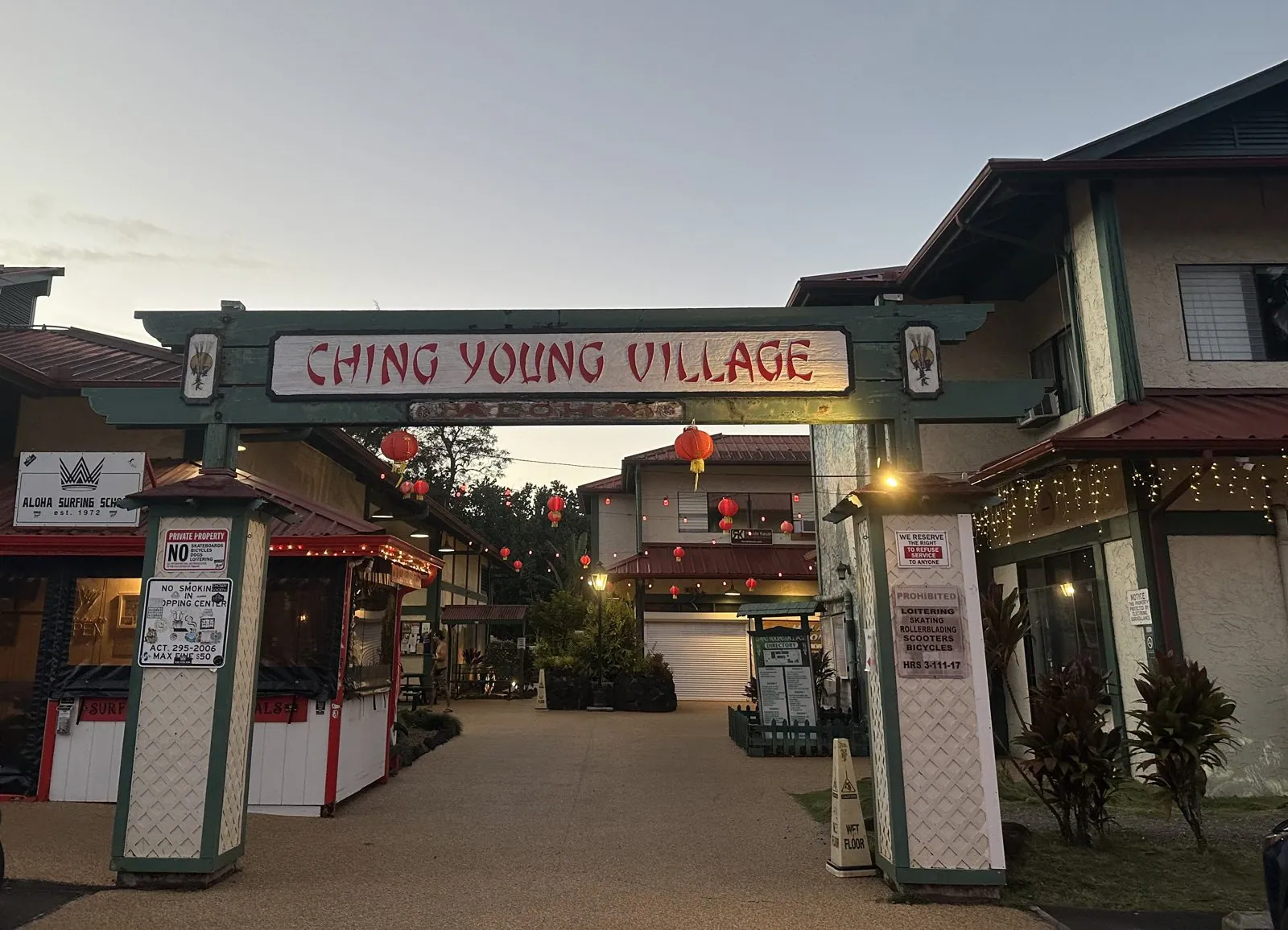
Twenty minutes later we turned into Princeville, the resort town on the bluffs at the north end of the island. Its entrance is a roundabout with a fountain, and behind it stand rows of tall, narrow pines, each one shaped like a column. We had booked a rental house in Princeville for the whole stay, and after checking in we drove down the hill to Hanalei, the small town on Hanalei Bay, where the gate of Ching Young Village was lit up with red lanterns at dusk.
When we got back that evening, a roach crawled out of the bed. We decided not to stay there at all, moved out that same night, and booked the Westin Princeville instead.
Day 2: A morning at the Westin Princeville
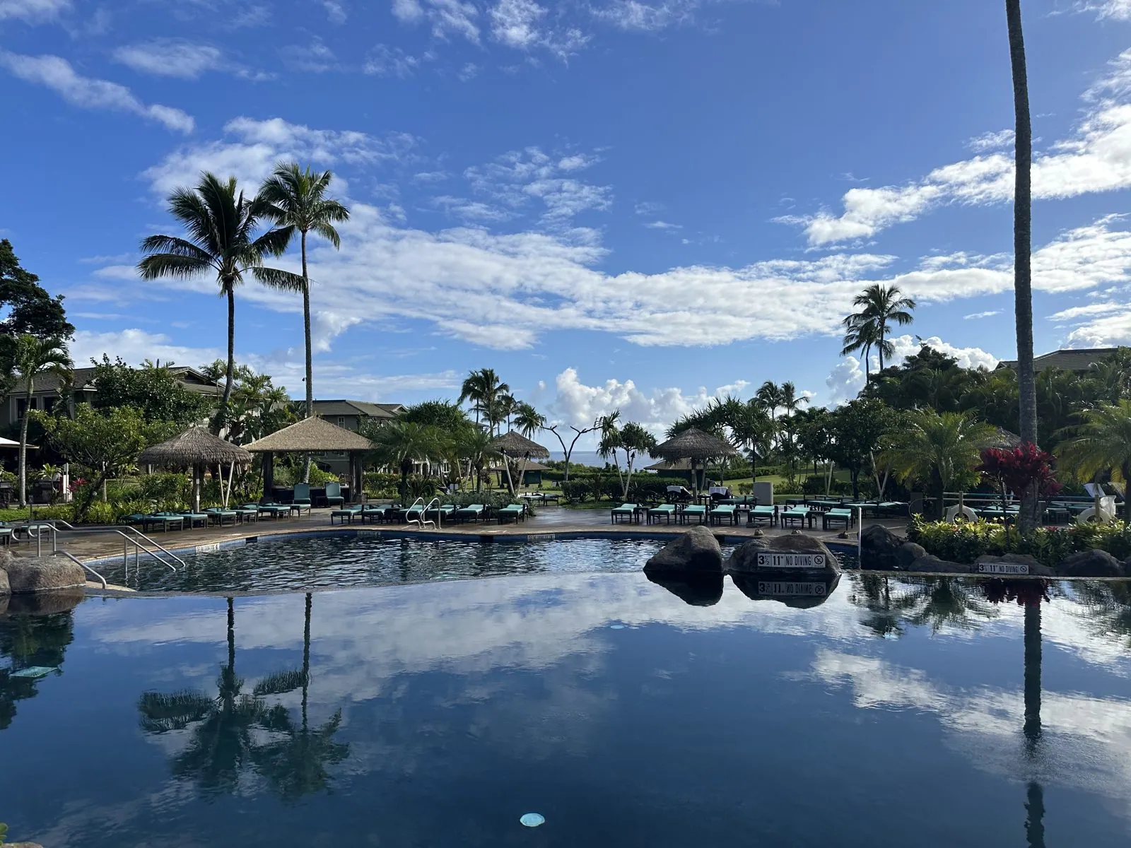
So Thursday morning began at the Westin Princeville Ocean Resort Villas, which also has an entry in my hotels post, and we spent it at the pools. The main pool is built like a lagoon, with boulders at the edges and thatched shelters around it, and at 8:21 in the morning the water was still enough to hold a perfect reflection of the palms and the clouds.
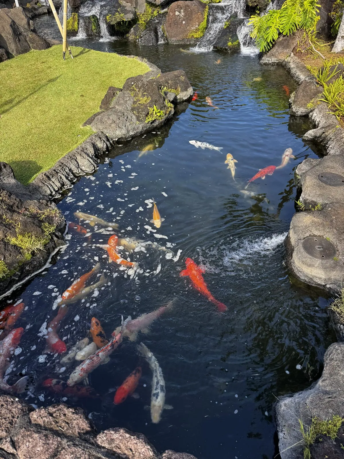
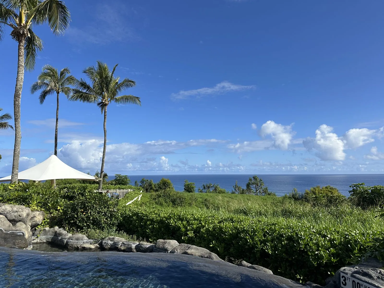
A few steps away, a stream runs down through black rock channels from a row of small waterfalls, and it is full of koi: orange, white, and orange-and-white, crowding toward the inflow. On the ocean side, another pool looks out over hedges and palms to the sea.
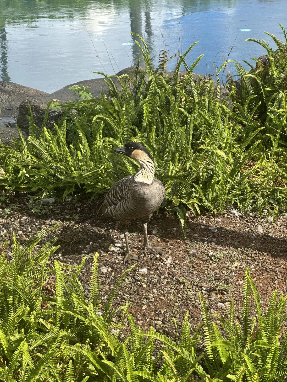
And in the ferns beside a pool there was a nēnē, the Hawaiian goose, gray-brown with a black head and a striped buff neck.
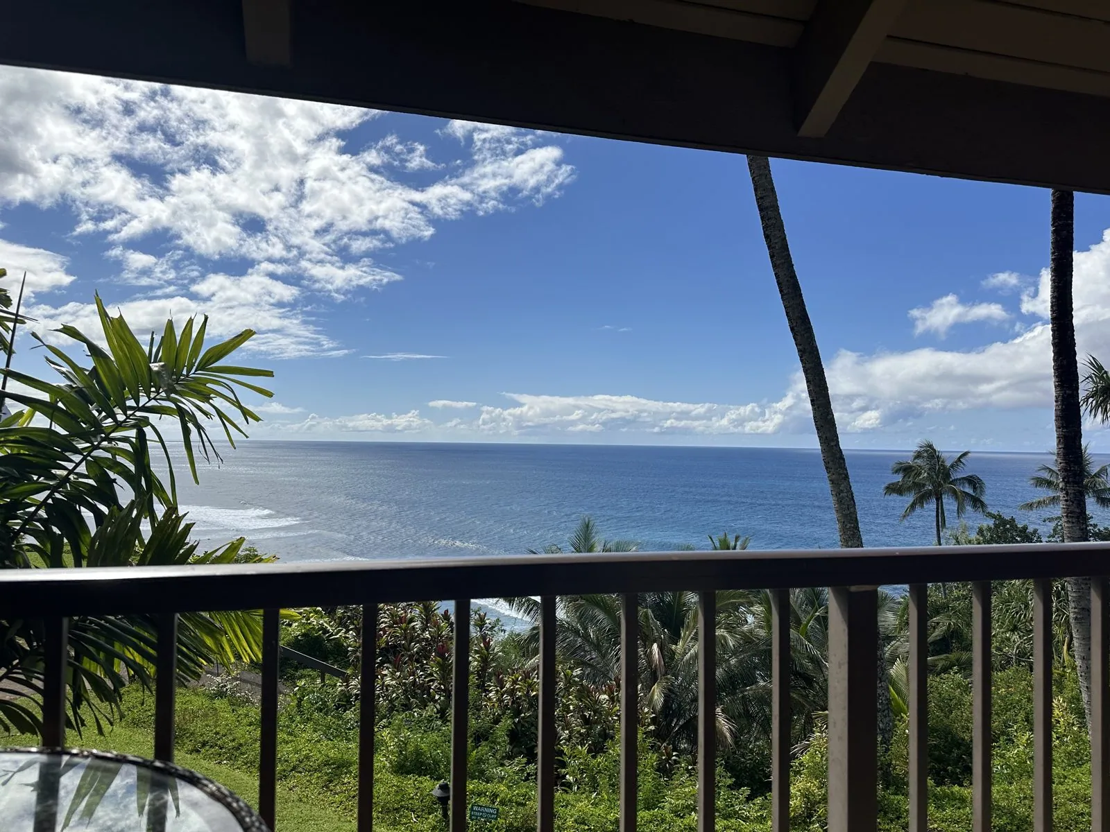
In the afternoon we went back down to Hanalei for shave ice, and then moved to a second rental for the rest of the trip, where friends joined us. It sits high on the bluffs, and from about half past three my wife's photos come from its lanai, looking straight out to sea over the treetops.
Day 3: Hanalei Valley
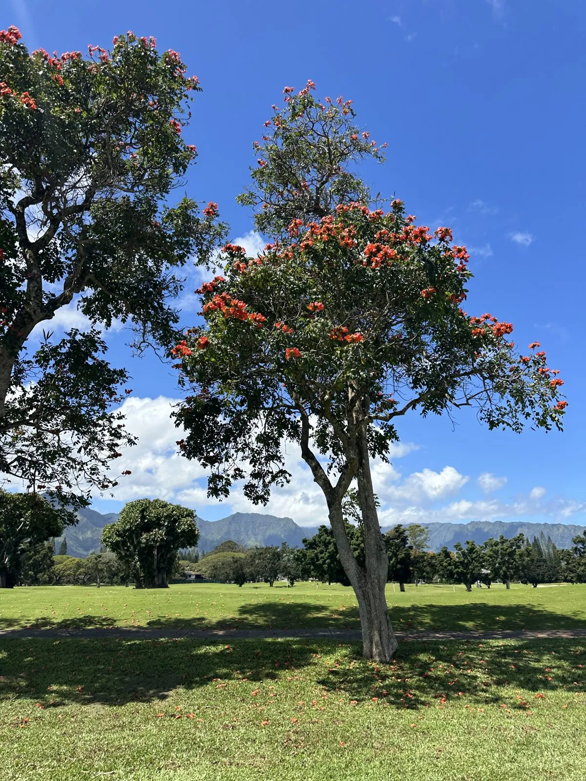
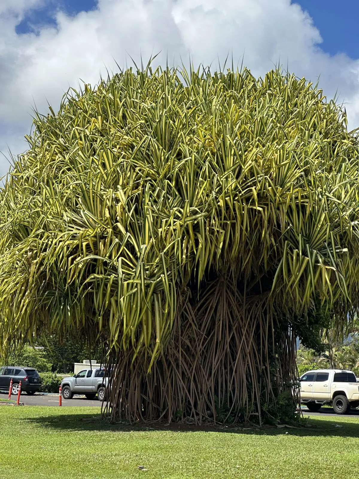
On Friday morning, around Princeville, two trees stood out. One was an African tulip tree, covered in clusters of red-orange flowers against a hard blue sky, with green mountains in the distance beyond the lawns. The other is harder to describe: a huge, shaggy dome of long striped leaves on top of a thicket of stilt roots, towering over the pickup trucks parked behind it. I think it is a hala, the pandanus tree, but I am not sure.
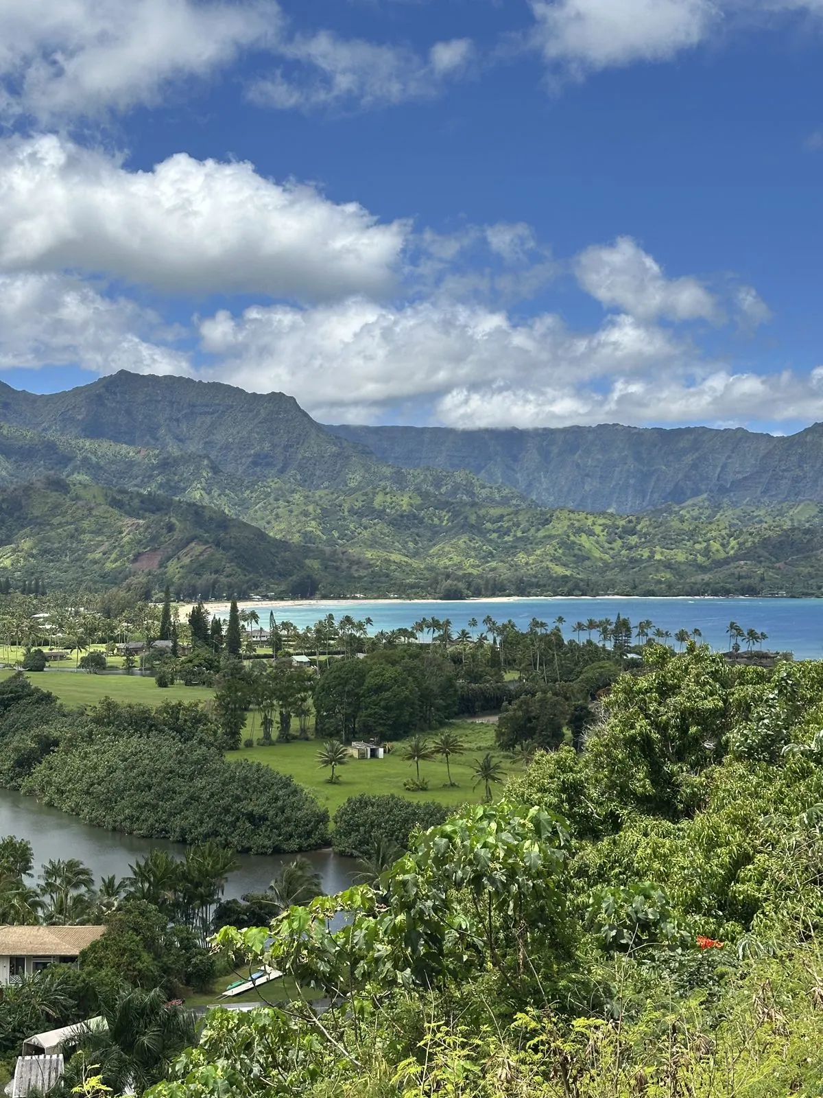
Just outside Princeville, the highway passes the Hanalei Valley Lookout, and that is where we spent the middle of the day. From the rim, the Hanalei River winds through the flat floor of the valley, which is laid out in taro fields, out to the curve of Hanalei Bay, with steep green mountains standing behind. My wife's photo from 11:32 has the whole thing in it, from the river at the bottom to the bay and the clouds.
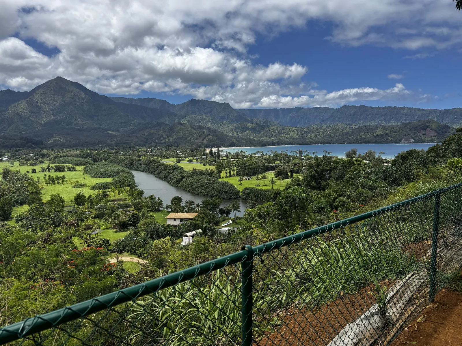
By the time I took my own photo, at 12:05, the clouds had come down over the mountains and the light had gone flat, but it shows the width of the valley better, with the river making a long bend through the fields below the fence.
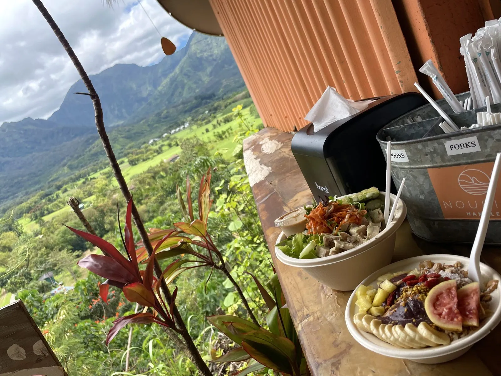
On the rim, right next to the lookout, is a small open-air stand, Hanalei Organic, that sells açaí bowls. Its counter faces the valley, so lunch came with the same view: an açaí bowl topped with banana, figs and berries and a second bowl next to it, set on the wooden counter with the green valley falling away beside it.
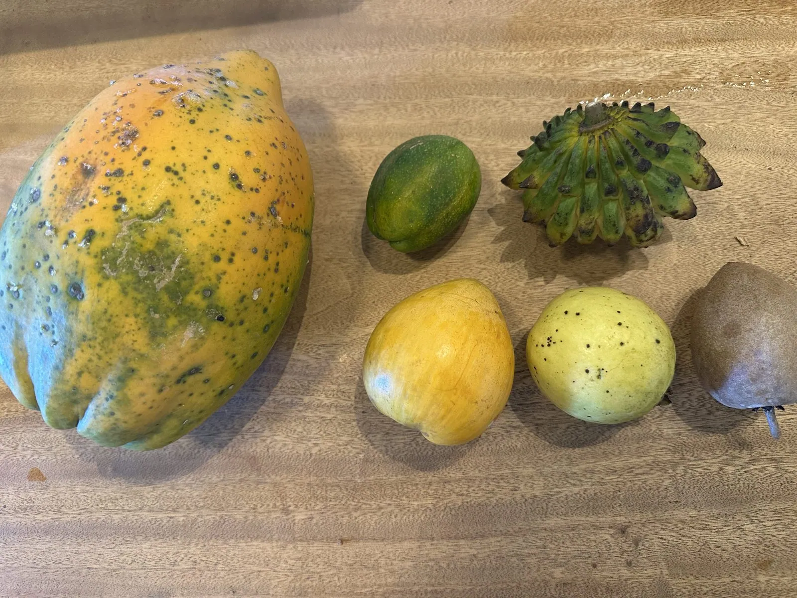
In the afternoon we went east to Kīlauea, and by 1:28 a small haul of fruit was laid out on a wooden table: a big papaya, mottled green and orange, a small green citrus, two yellow fruits, a brown one, and a spiky green fruit I still can't name. Later we drove down the east coast to Kapaʻa and back.
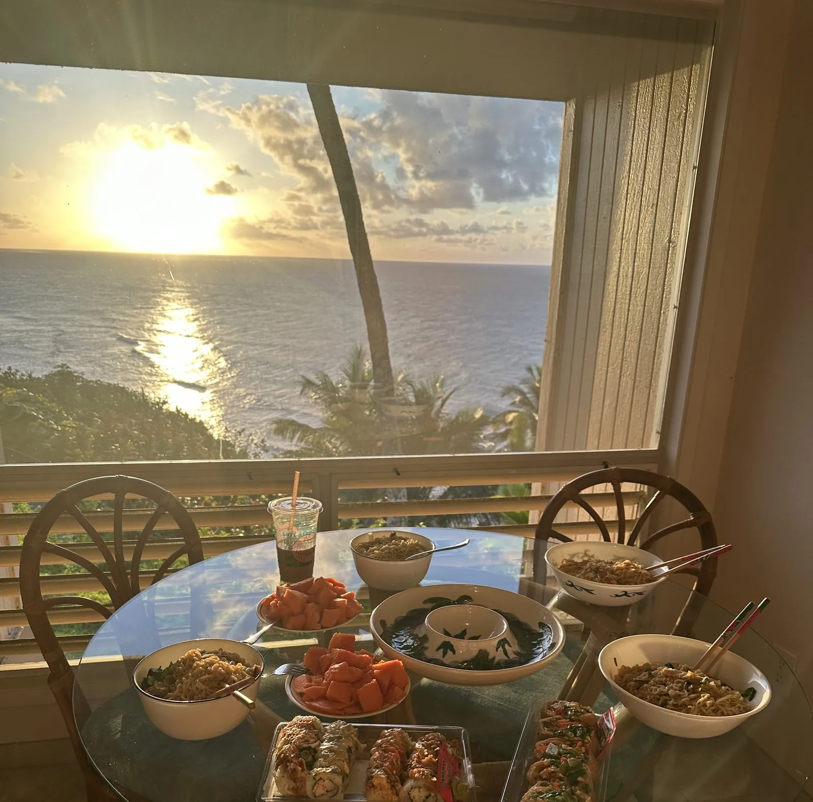
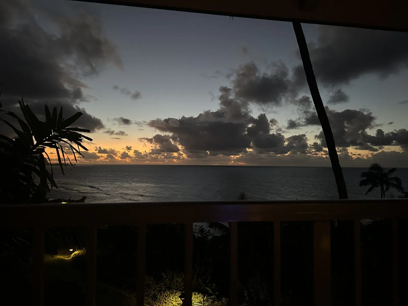
Dinner that evening was on the table by the window, with the sun going down straight into the sea in front of us. Forty-five minutes later the sky over the water had gone dark blue, with a last line of orange under the clouds.
Day 4: Turtles, a canyon and the red dirt
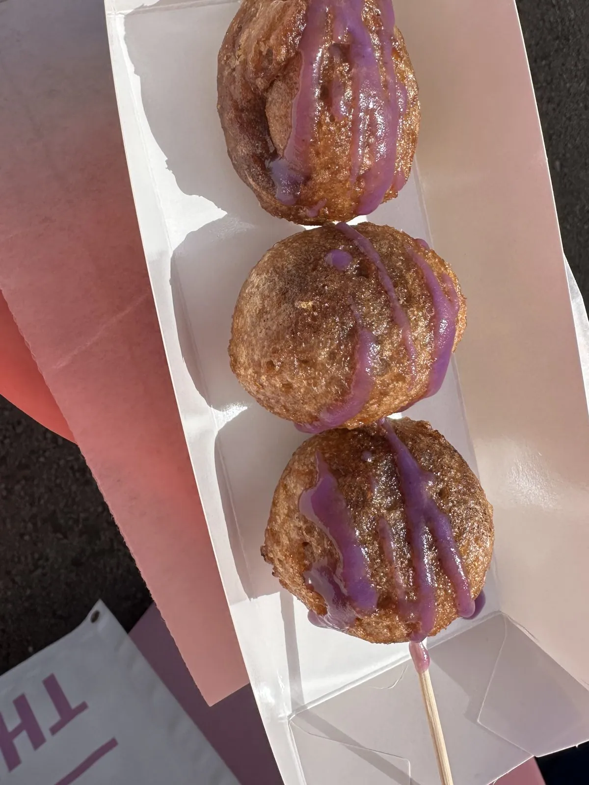
Saturday took us to the south and west sides of the island. It started with one more stop in Hanalei, at 10:19, for the second purple thing of the trip: three fried dough balls on a stick, with stripes of purple glaze.
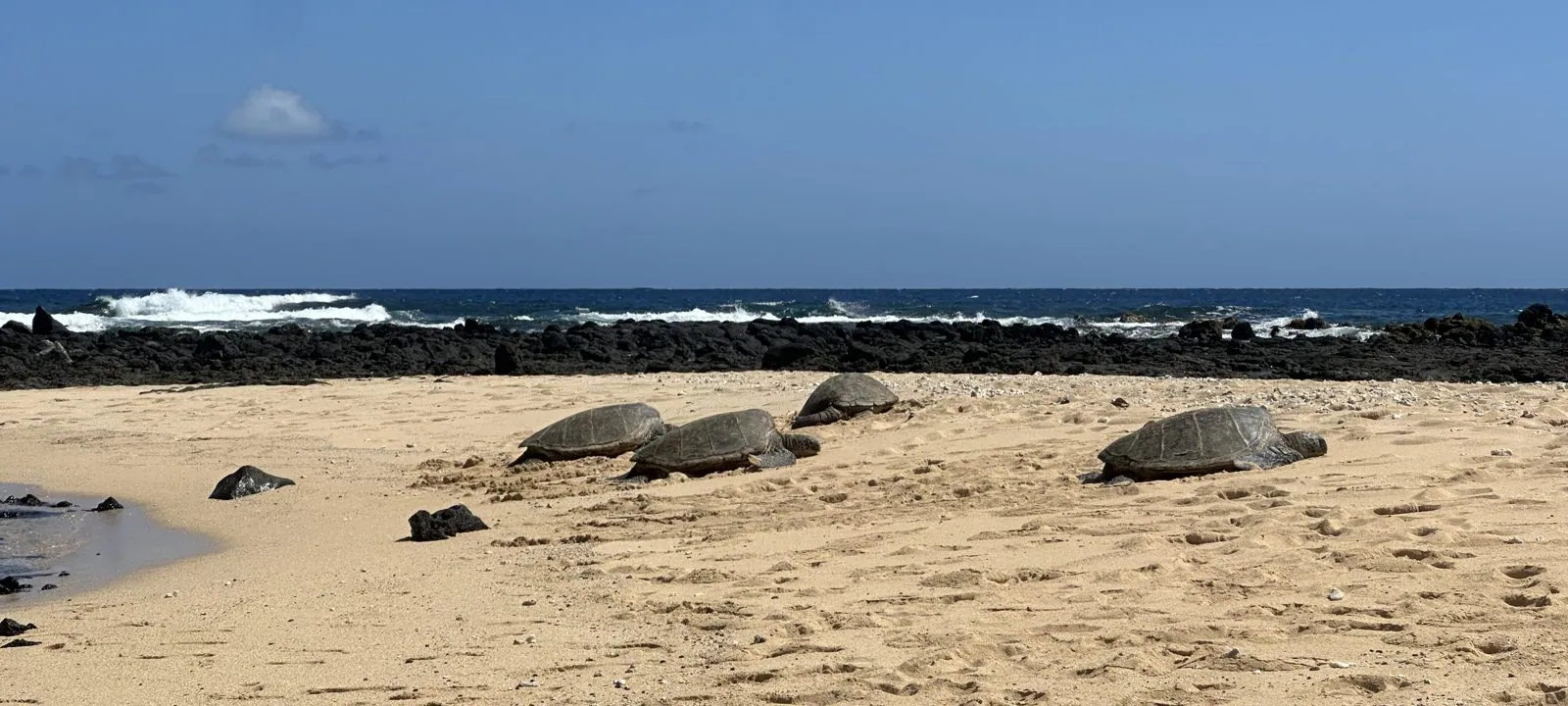
Then we drove all the way around to the south shore, to Poʻipū. Near the beach there, at 2:48, green sea turtles were hauled out on the sand, four of them in one frame, dark domed shells against the pale sand, with a low reef of black lava and white surf behind them.
Waimea Canyon at sunset
After an early dinner on the south shore we drove west and then up Waimea Canyon Drive, in the last hour of sun. From the overlook we stopped at, at 6:31, the canyon opened out below us: layered walls of red rock and green slopes, the river a thin bright thread at the bottom, and the far rim lit gold by the low sun.
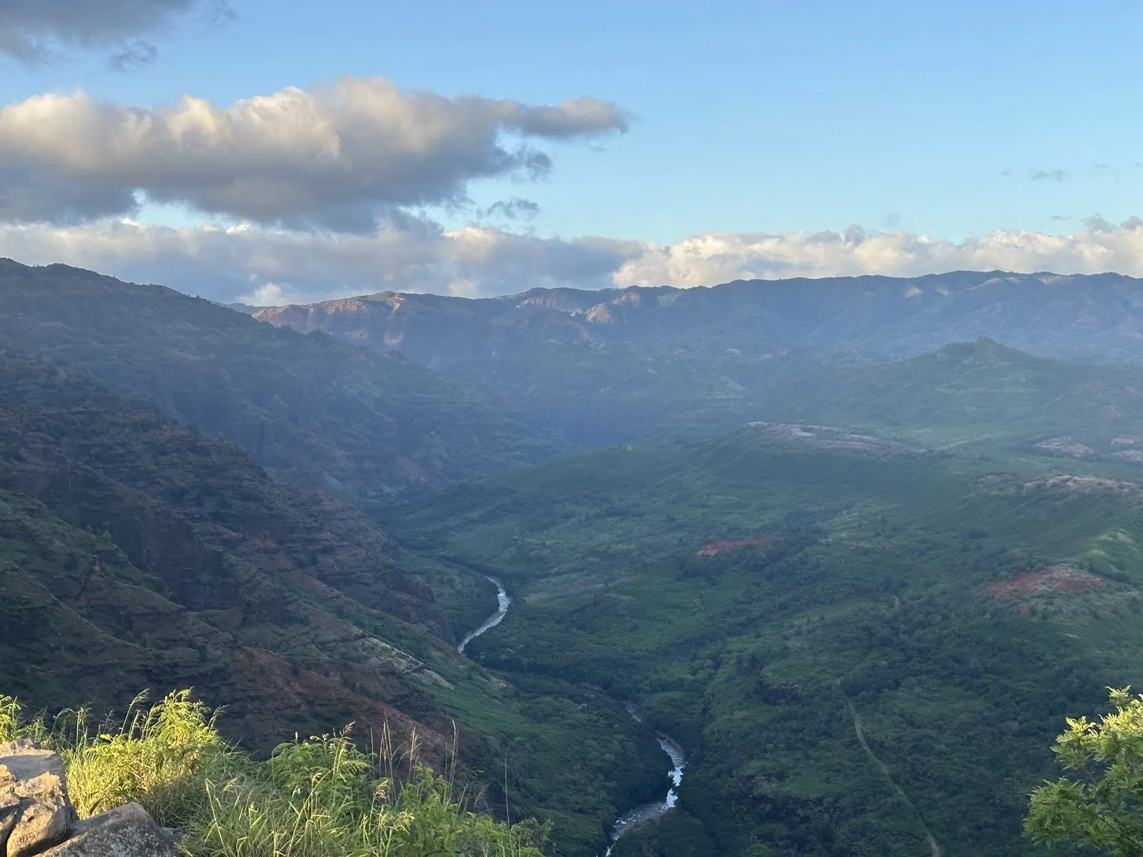
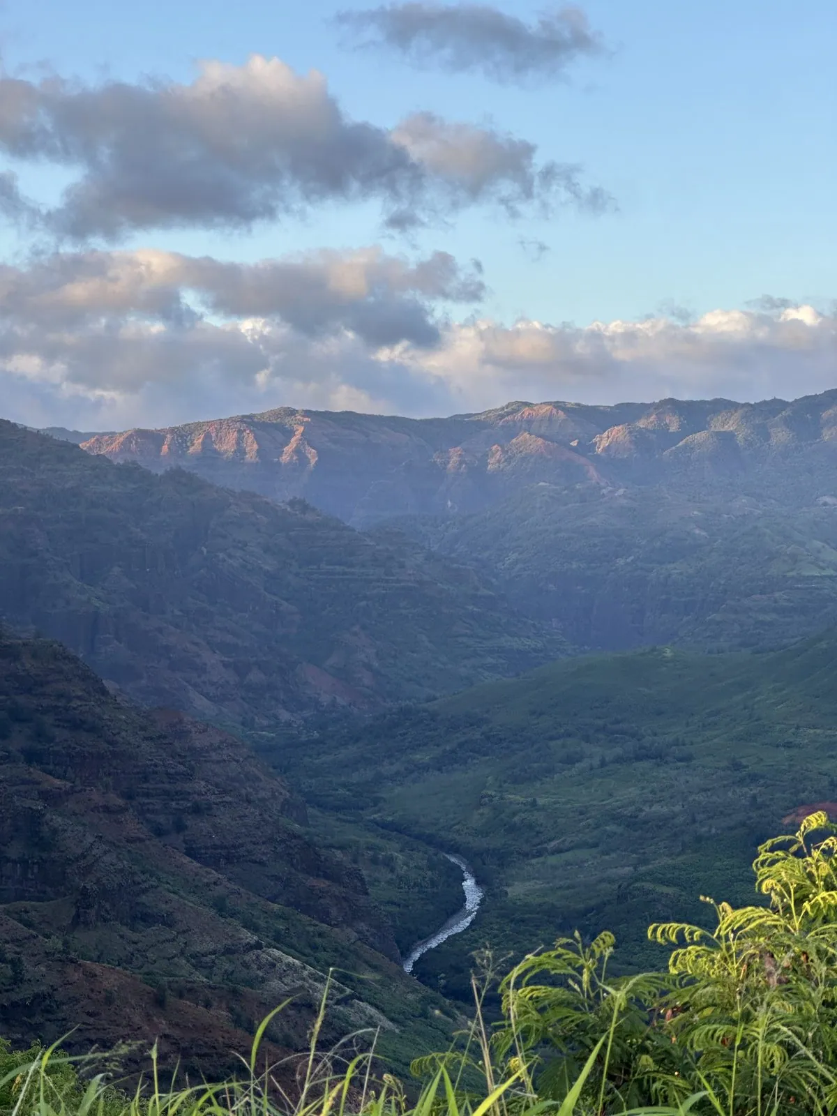
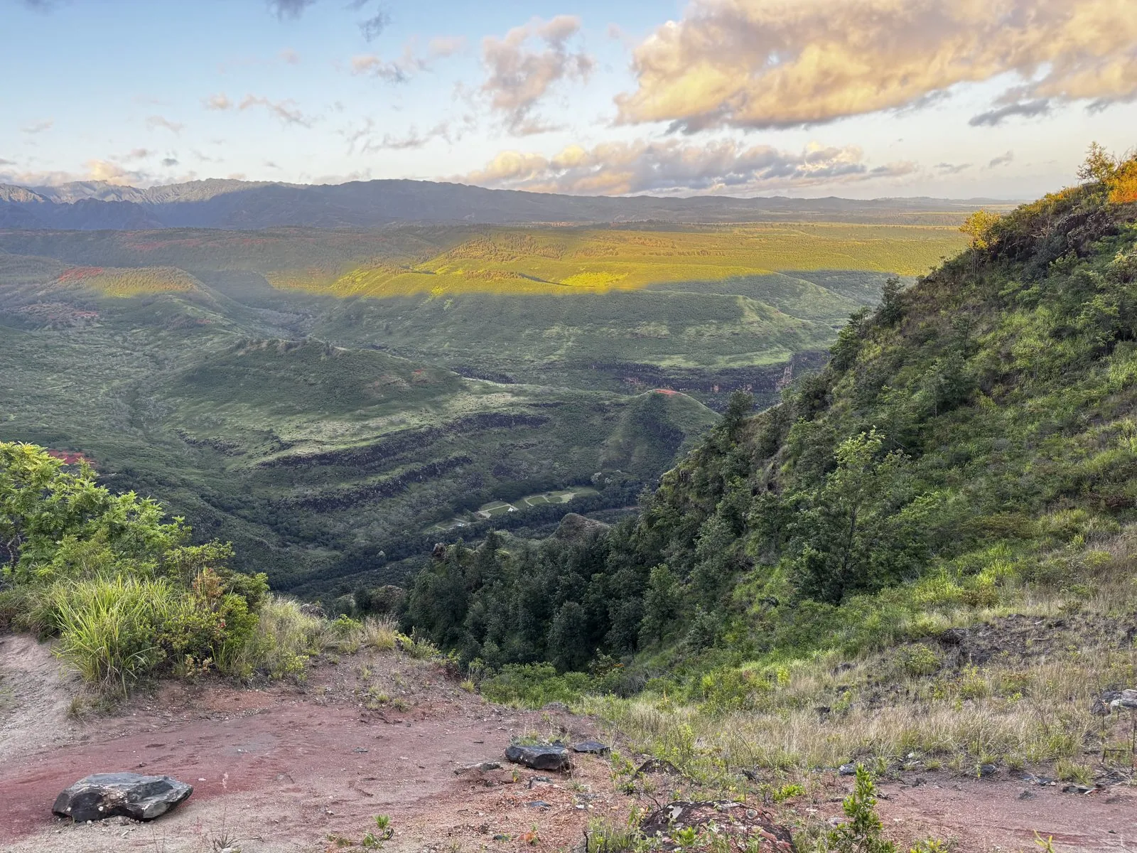
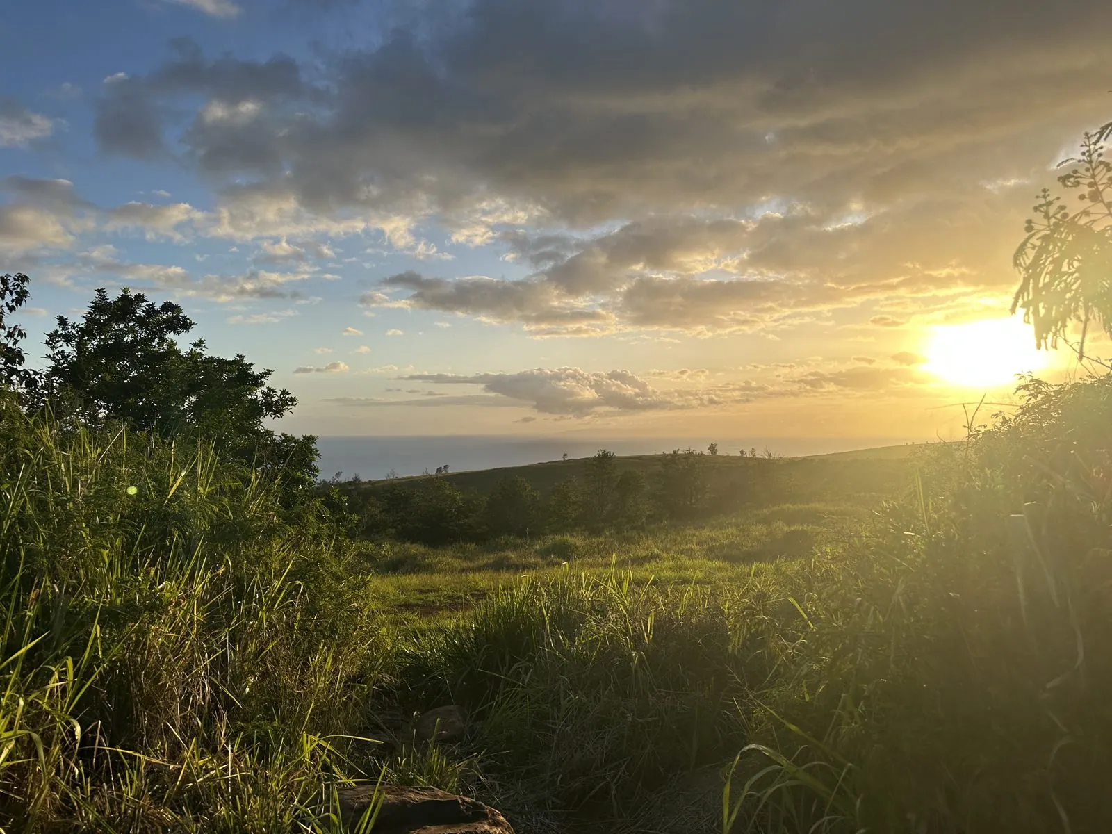
We both photographed the same canyon for ten minutes. In mine from 6:35, a band of sun lies across the plateau on the far side, and the slope in front drops through red dirt and shrubs into the shadow. Looking the other way, west from the ridge, the grass was lit gold and the sun was going down over the ocean.
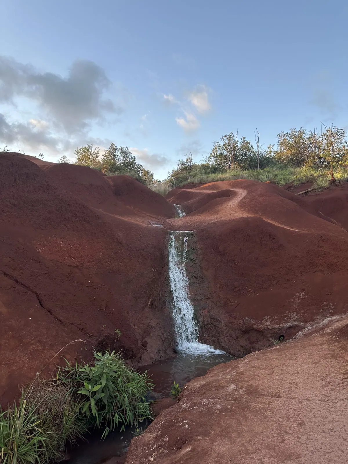
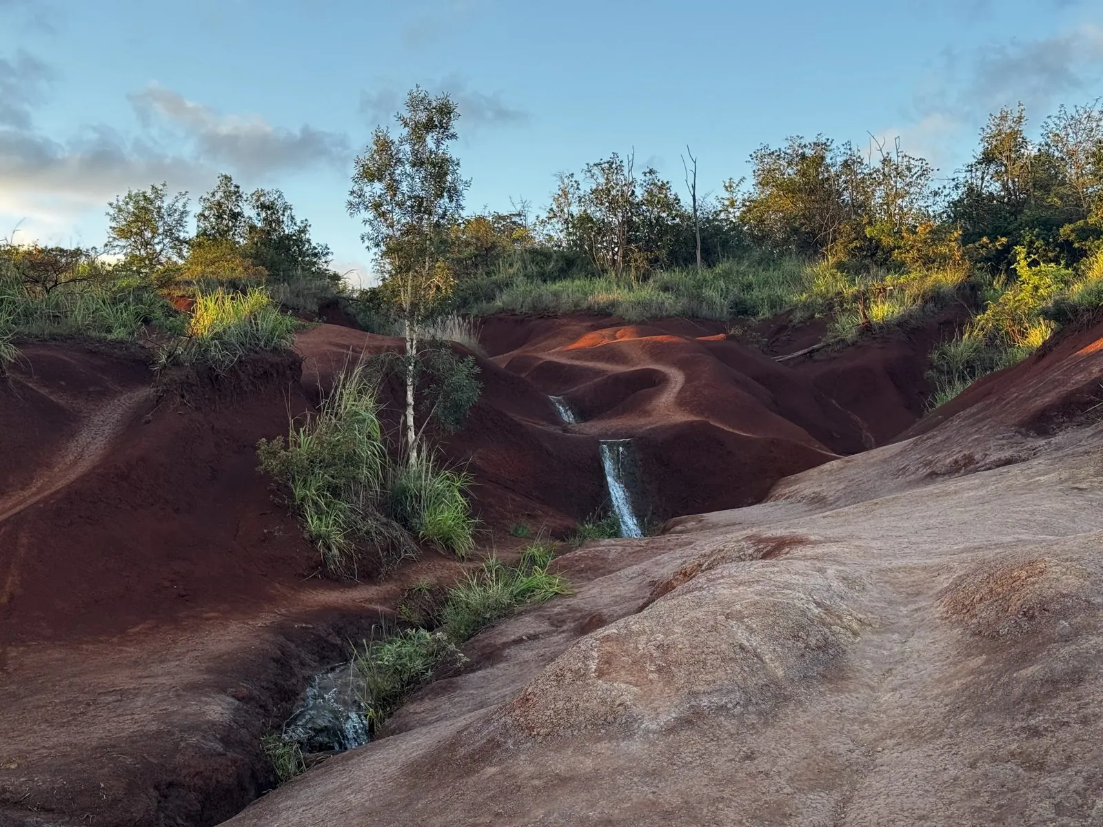
A little further up the road, at 6:45, we stopped at the Red Dirt Falls. Here the ground is bare, rust-red earth, worn into smooth humps and gullies, and a small stream drops over a ledge of it in a narrow white waterfall before running off through the grass. Both of us photographed it within a minute of each other.
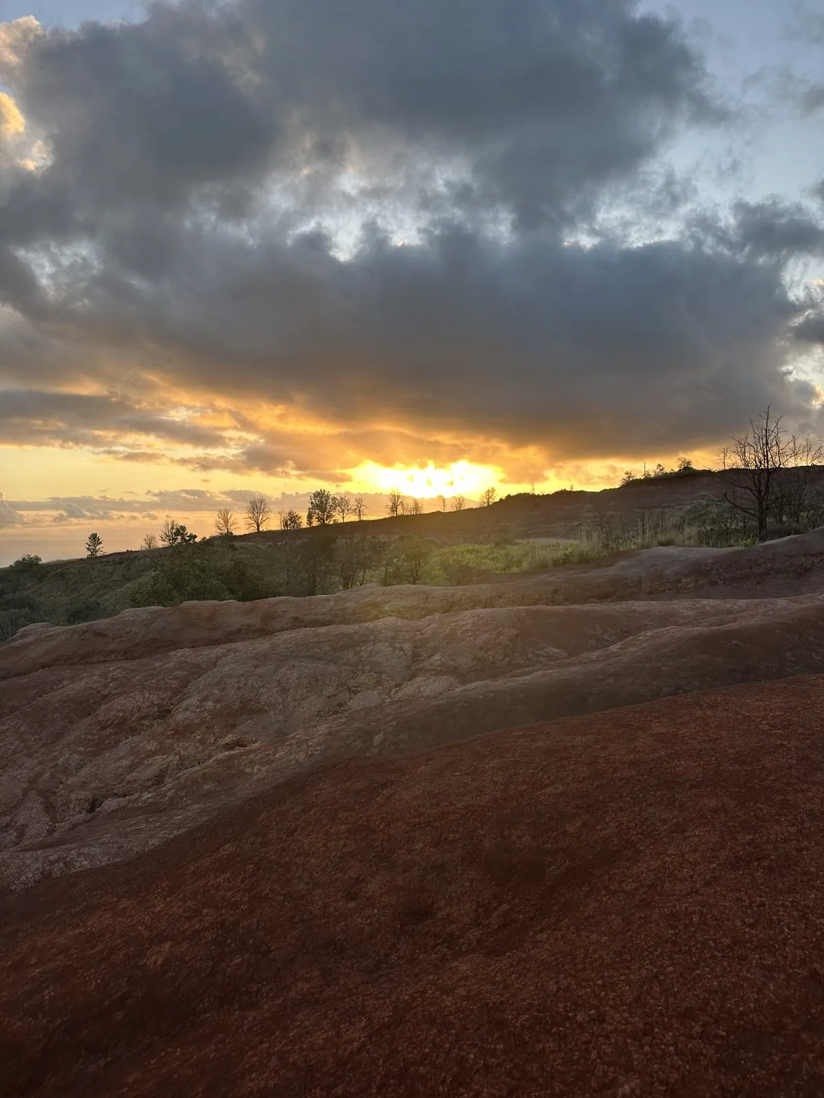
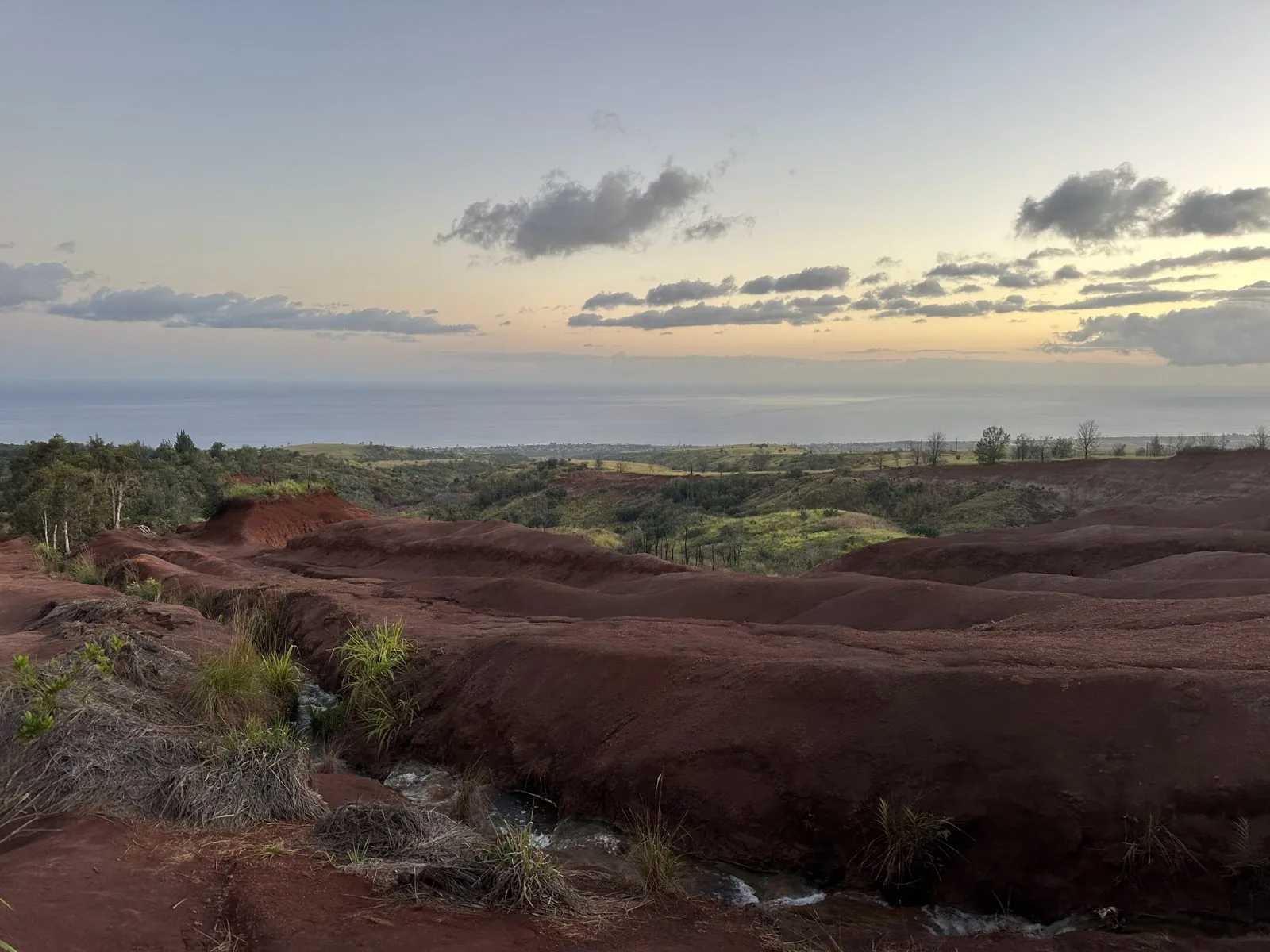
We stayed until the sun was gone. At 6:49 it was setting behind a bank of gray clouds over the red ground, and by 7:07 the light had gone soft and blue: ridges of red dirt in the foreground, a strip of green, and the ocean on the horizon under a pale evening sky. That is the last photo of the trip; we flew home the next day.
Two sides of one island
Going back through the photos, the trip splits neatly in two. Three days on the North Shore are all green and blue: lawns, ferns, taro fields, a valley under clouds, and the sea from the bluffs. Then one afternoon on the south and west sides turns everything red and gold: turtles on a dry beach, a canyon in side light, and bare red earth at sunset. It is all the same small island.
Five months later we were back in Hawaiʻi, this time on the Big Island and Oʻahu; that trip has its own post, From the Volcano to the Beach.
Map built from the trip's photo timestamps and locations. Photo locations have been removed from the published images. Map data © OpenStreetMap contributors; each stop is placed where its photo was taken, lodging and home are never marked, and the dashed lines show the order of stops, not the exact roads.
Some photos in this post are my wife's.
Likes and comments
React with an emoji or leave a comment. Signing in with GitHub is required.