← Misc · June–July 2023
Seattle, the Olympics and Portland
Seattle, the Olympic Peninsula and a sunset sail in June; Portland in July.
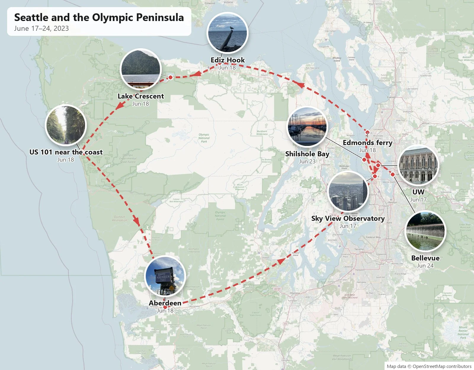
June: Seattle → the Edmonds–Kingston ferry → Port Angeles → Lake Crescent → US 101 → Aberdeen → Seattle · a sunset sail into Shilshole Bay · Bellevue
July: Kirkland → Portland → back to Seattle over the I-90 floating bridge
Two rental cars · one ferry · one sailboat · two volcanoes, both in July
In the summer of 2023 I had an internship in Redmond, near Seattle, and my wife flew up twice, a month apart. The June half of this post covers nine days, from a Friday to the following Saturday, and my wife came for the first weekend of it: we were together from Friday night, June 16th, to Monday, June 19th, and she flew home that Monday evening. The rest of June below is just me. In July we both came back for a weekend, Thursday night to Sunday, and drove down to Portland and back.
As with my other trip posts, everything here comes from the camera rolls, mine and my wife's: where each photo was taken and when. Where neither phone recorded anything, I've left the gap alone. Between Monday, June 19th, and Friday, June 23rd, for example, there is nothing at all.
June: Seattle and the Olympic Peninsula
I landed on Friday evening, June 16th, and at 8:45 pm I was in the rental garage at Sea-Tac walking around a black Tesla Model 3, taking the usual photos of every side before driving off. My wife came on a later flight from LAX. Just before one in the morning we were on I-5 with downtown lit up ahead, and at 1:34 am she was photographing a late meal in the Chinatown–International District: roast duck, fried rice and something fried with a dipping sauce.
Saturday: the university, and the city from above
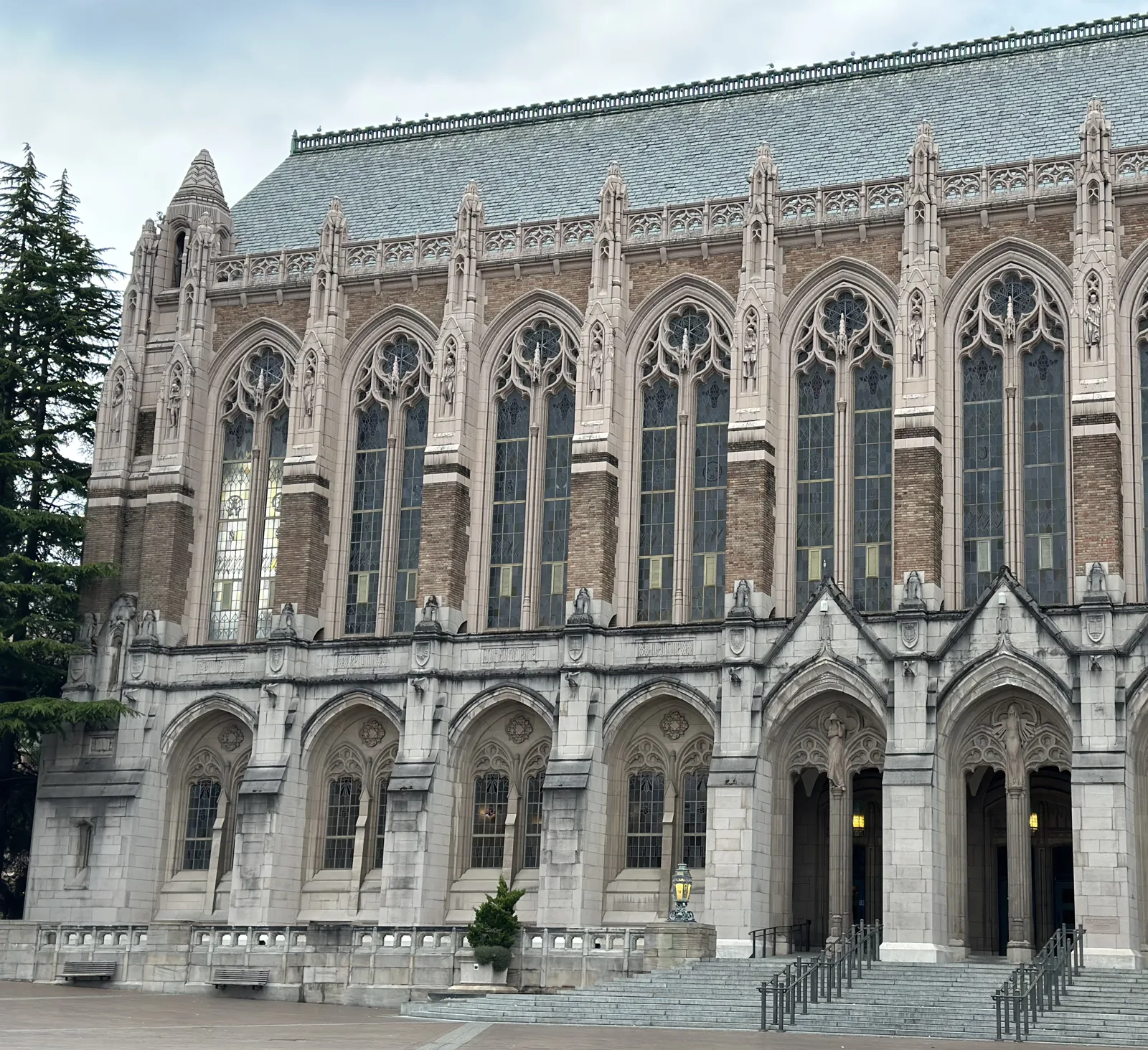
Saturday was gray. We had pizza for lunch in Kirkland, on the east side of Lake Washington, and then drove across into Seattle. At 3:40 pm we were walking through the University of Washington. My wife's photos follow the walk: brick halls under a low sky, George Washington's statue, the giant old trees on the lawns, and Suzzallo Library, the Gothic library with its row of tall arched windows. The campus also has a section in the campuses post. At 4:11 we were on University Way, "the Ave", in line for drinks.
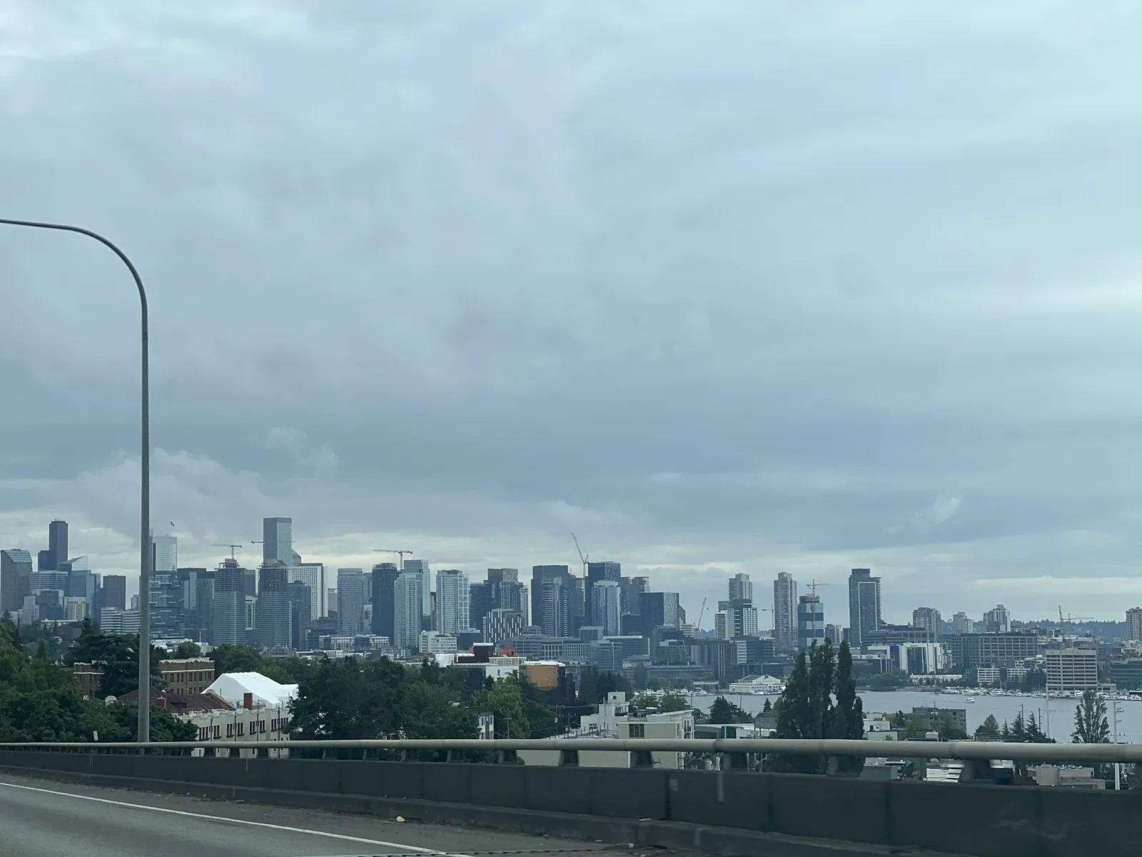
At 6:18 we drove south over the Ship Canal Bridge on I-5. From the bridge, downtown stood across Lake Union in a flat light, with the Space Needle off to one side.
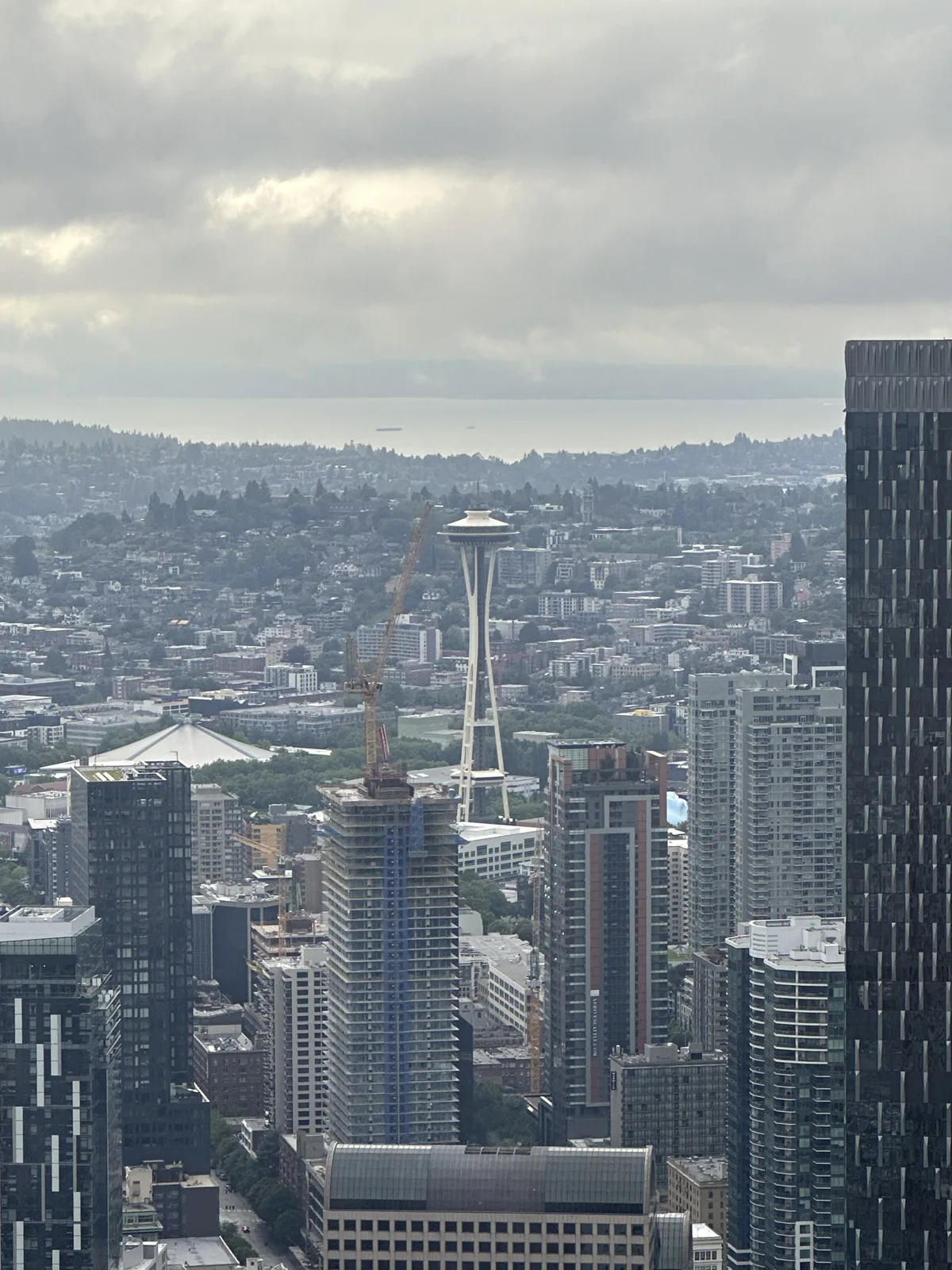
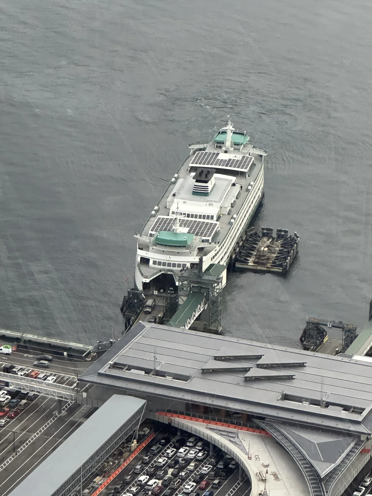
Then we went up. From 6:54 to 7:42 pm we were on the Sky View Observatory on the 73rd floor of the Columbia Center, and between the two of us we took dozens of photos up there. The best of mine, the light breaking through over Puget Sound and the stadium packed for an event, are already in Views from Up High. Here are three of my wife's. Looking north, the Space Needle looked small among the towers, with Lake Union and the hills beyond it. Straight down, at 7:25, a ferry was tied up at the terminal on the waterfront, with lines of cars waiting to board.
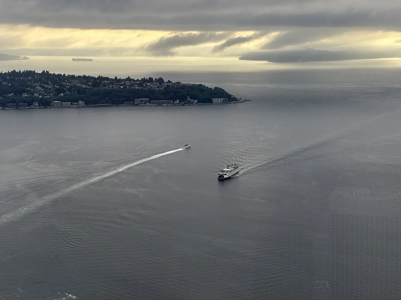
Looking west, another ferry was crossing the Sound toward Bainbridge Island, leaving a long wake on gray water.
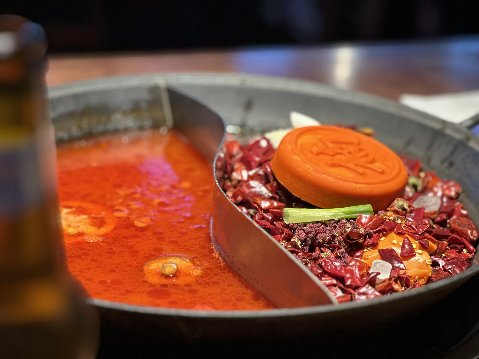
Dinner was in Bellevue at 8:21: a dry pot, half of it red broth and half a heap of dried chilies, with a bottle of beer next to it.
Sunday: around the Olympic Peninsula in a day
Sunday was the long day: a loop around the Olympic Peninsula, the big block of mountains and forest west of Seattle, across Puget Sound. At 1:30 pm we were at the ferry dock in Edmonds, north of Seattle, and at 2:10 the boat brought us into Kingston on the other side. From there the road runs northwest to the Strait of Juan de Fuca.
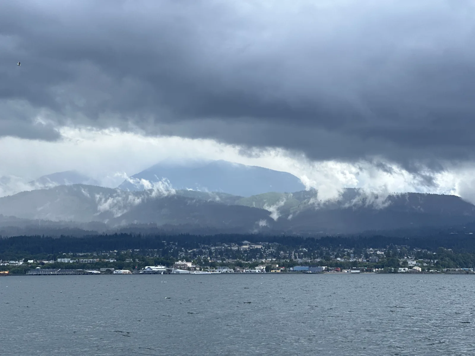
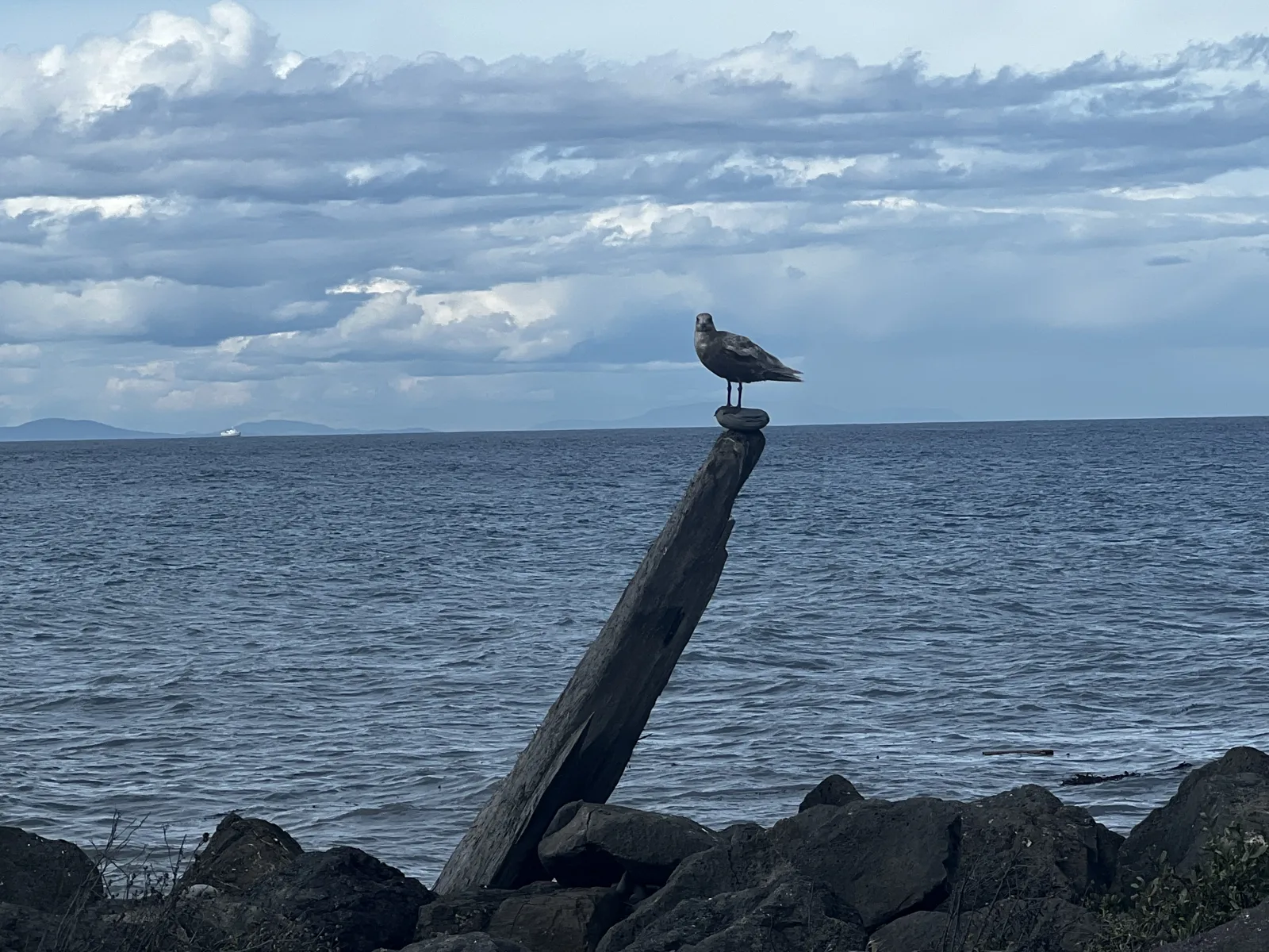
By four we were in Port Angeles, out on Ediz Hook, the long spit that curls around the harbor. Across the water the town sat at the foot of the Olympic Mountains, and the mountains were wearing a thick layer of cloud. On the other side of the spit, the strait stretched away to the north, and a gull stood on top of an old piling stuck into the rocks. My wife photographed the same gull a few seconds after me. Our selfies from there stay in the family album.
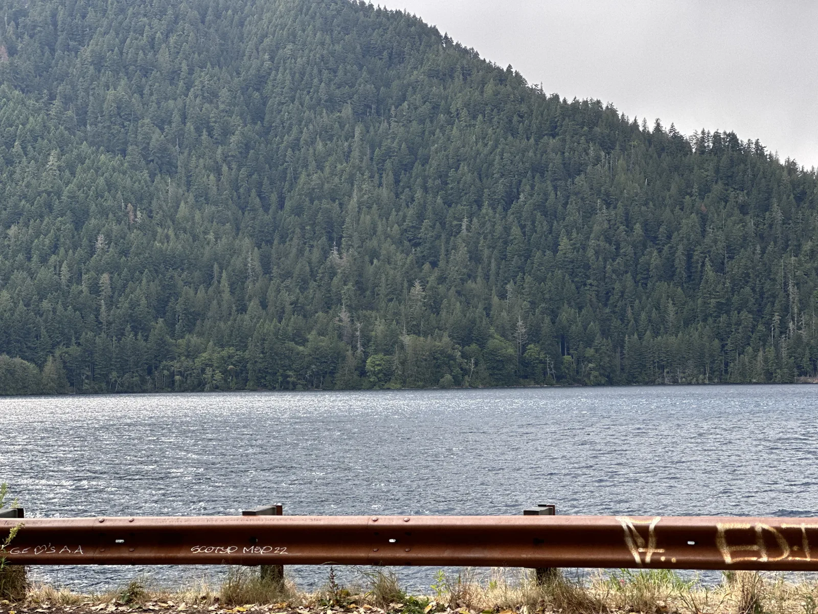
West of Port Angeles, US 101 runs along the south shore of Lake Crescent. At 4:55 we stopped by the guardrail. The lake is long and narrow and sits between steep mountains covered in dark forest, and that afternoon it lay under a gray sky.
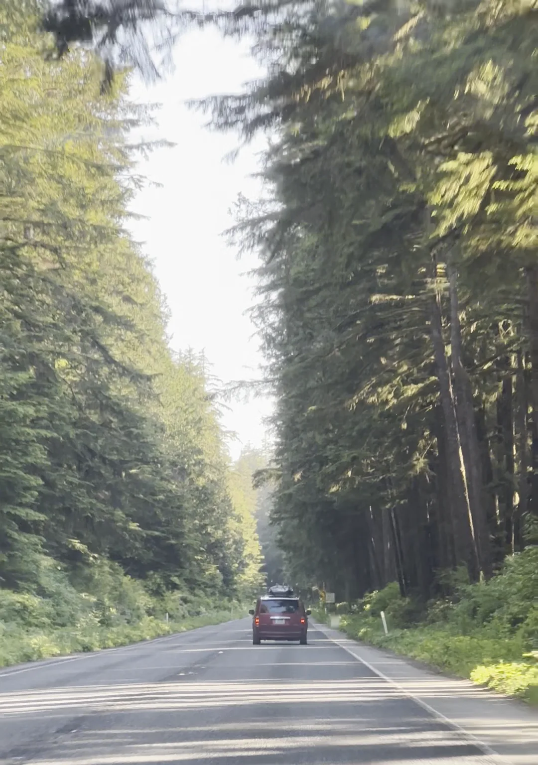
After that the highway turns south down the west side of the peninsula. My wife's video at 6:22 pm, taken near the coast, is of US 101 running straight through tall forest, with the evening sun coming through the trees and one car far ahead.
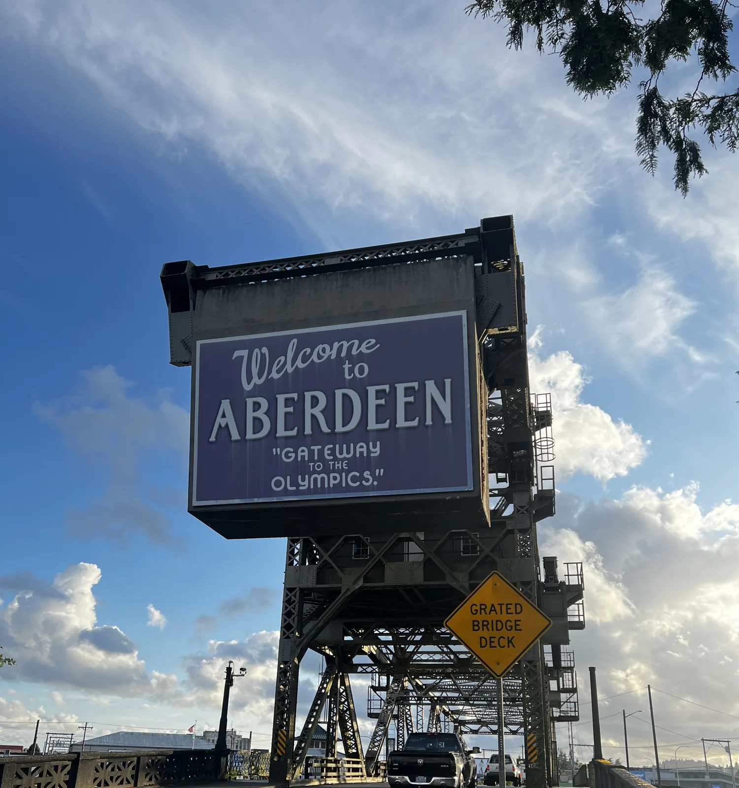
At 7:58 we reached Aberdeen, at the southern end of the loop. The sign that greets you there is mounted high up on the steel tower of an old lift bridge: "Welcome to Aberdeen, 'Gateway to the Olympics'". I photographed it from every angle under a big sky of clouds.
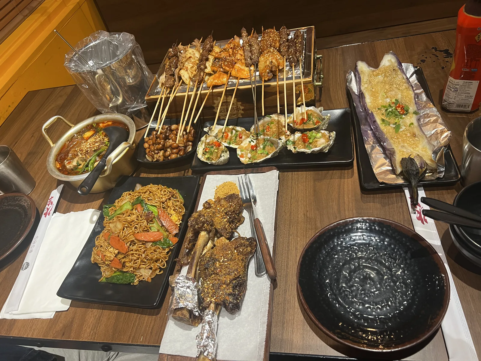
From Aberdeen the road goes east to Olympia and then up I-5. At 9:47 pm we were driving back into Seattle at dusk, and at 10:21 we had a late dinner in north Seattle: a whole table of skewers, grilled oysters, fried noodles and more.
Monday
On Monday afternoon my wife's photos are from downtown Bellevue: two drinks at 3:38 pm and a crêpe at 5:03. That evening she flew home to Los Angeles. My own phone has nothing from Monday to Thursday.
Friday: a sunset sail
The next photos are mine, alone, on Friday evening, June 23rd. At 7:33 pm I was on a sailboat off Bainbridge Island, out on open water. Over the next hour the boat sailed back across Puget Sound toward Seattle while the sun went down behind the Olympic Mountains.
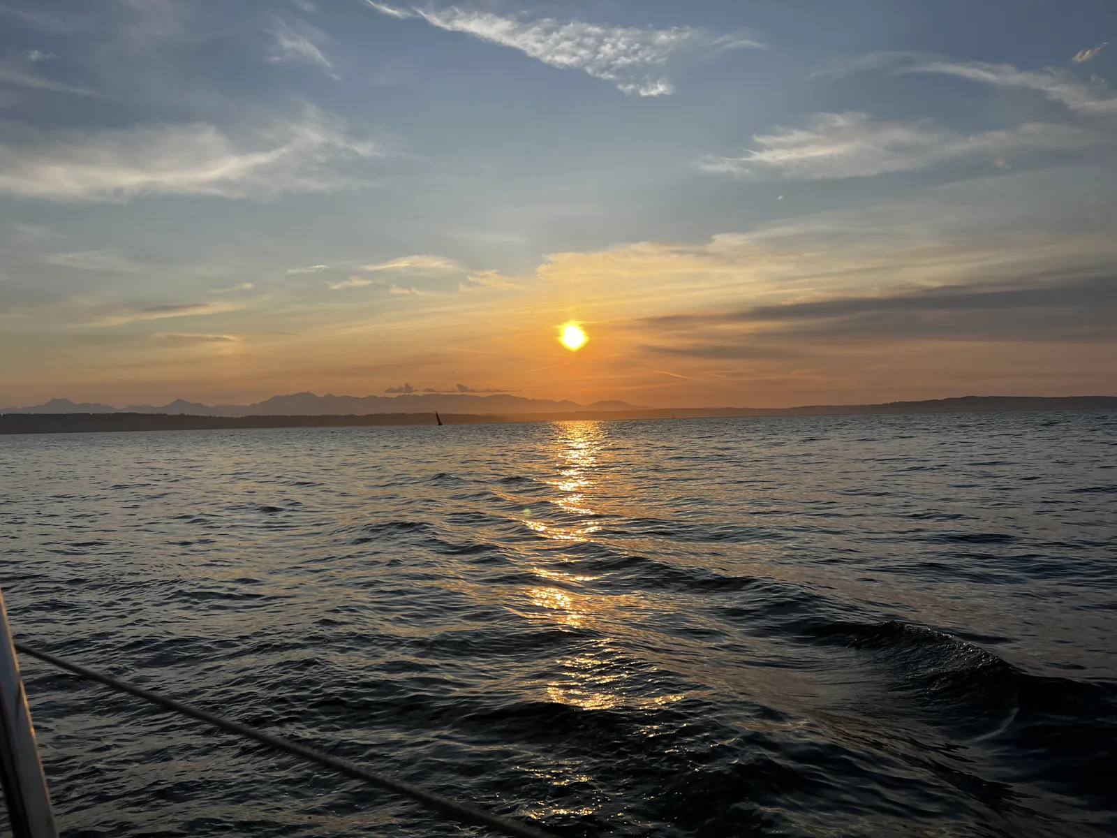
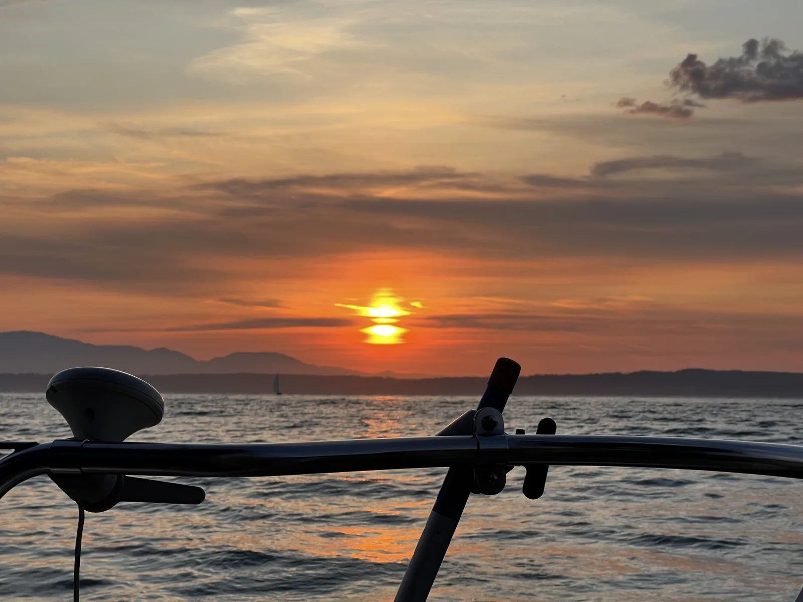
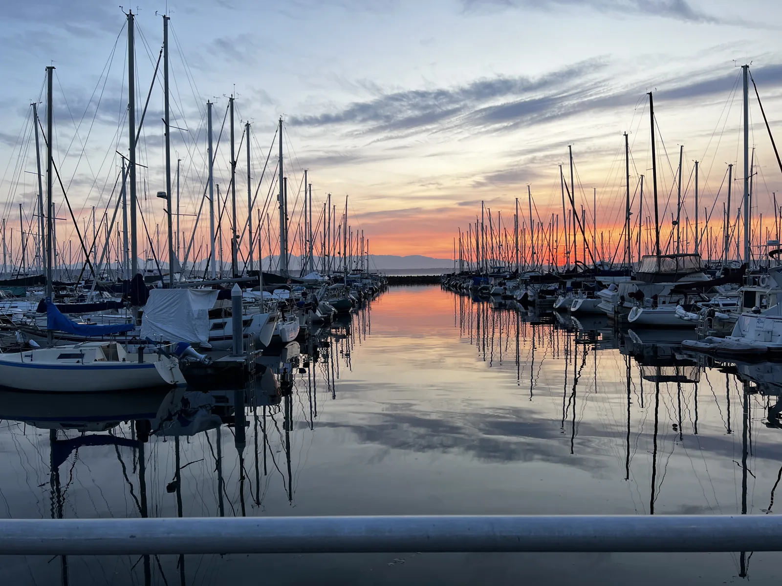
At 8:51 the sun touched the mountains and turned the sky orange. By nine the boat was coming into Shilshole Bay Marina in Ballard. The water inside the breakwater was perfectly still, and the masts of the moored boats stood in it twice, once in the air and once upside down, under an orange-and-blue sky.
Saturday in Bellevue
Saturday, June 24th, was sunny, and I spent it in downtown Bellevue: a long line outside a milk-tea shop, a mall and an Apple Store, the "#BVUE" letters, and a row of rainbow-painted Pride letters. A set of white, tree-shaped canopies stood among the towers. A few minutes later I was in Bellevue Downtown Park, a big lawn with a long waterfall along one side, with ducks resting at its foot.
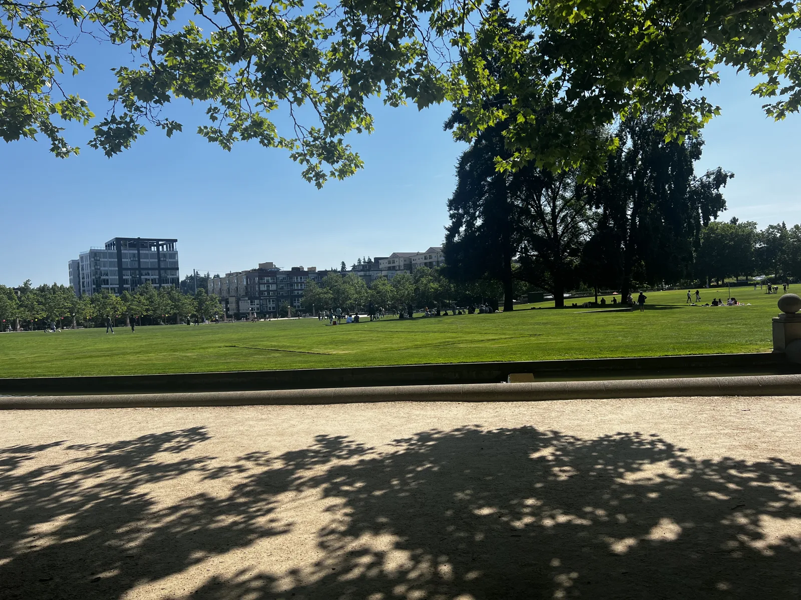
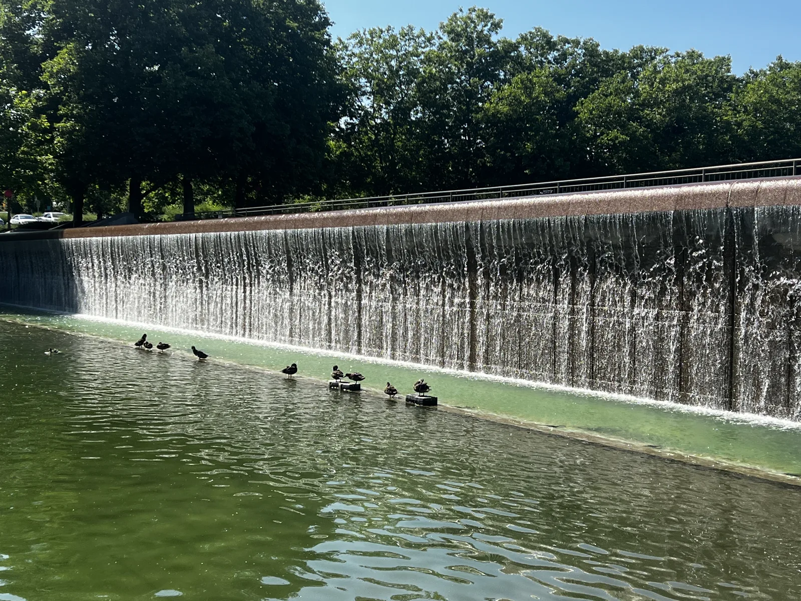
It ended with an ice-cream cone in the afternoon and hot pot and soft-serve in the evening. My photos stop at 9:27 pm that Saturday. The flight home is not in the camera roll.
July: a weekend in Portland
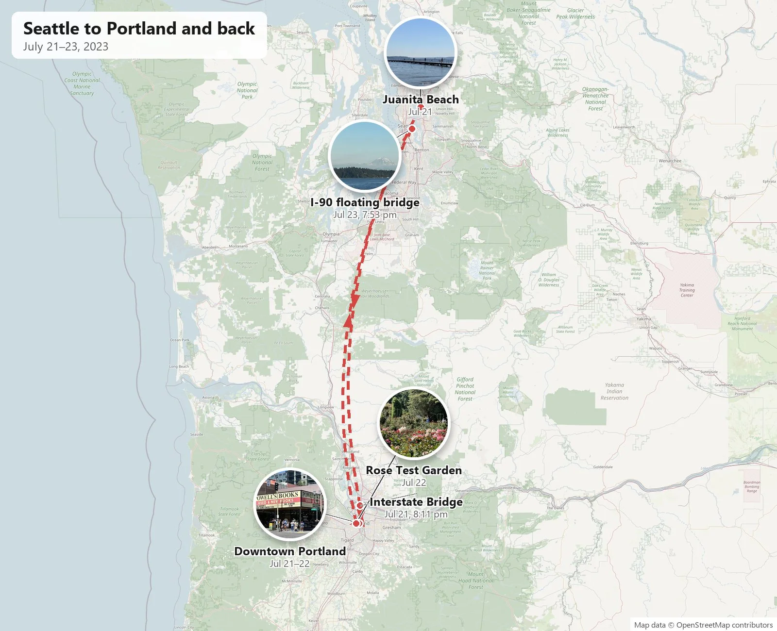
A month later we were back. Both of us flew up from Los Angeles on Thursday, July 20th, on separate flights. I picked up a rental car, a black Nissan Rogue this time, at Sea-Tac at 7:43 pm, and my wife flew up from LAX that night.
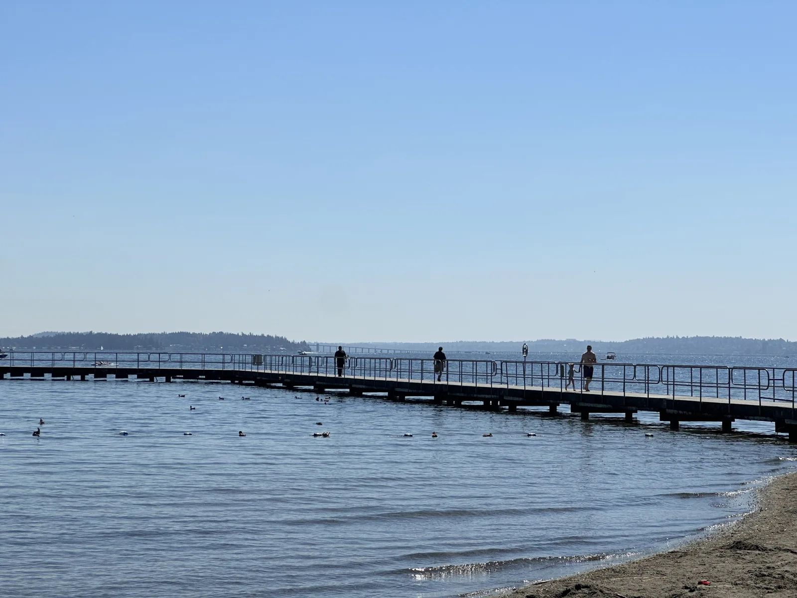
Friday was the opposite of June: blue sky and sun. In the afternoon my wife's photos are from Juanita Beach in Kirkland, on Lake Washington: a sandy beach, a long wooden pier, people wading, and ducks in the shallows. Then came two bubble teas from RareTea in Kirkland, and we set off for Portland.
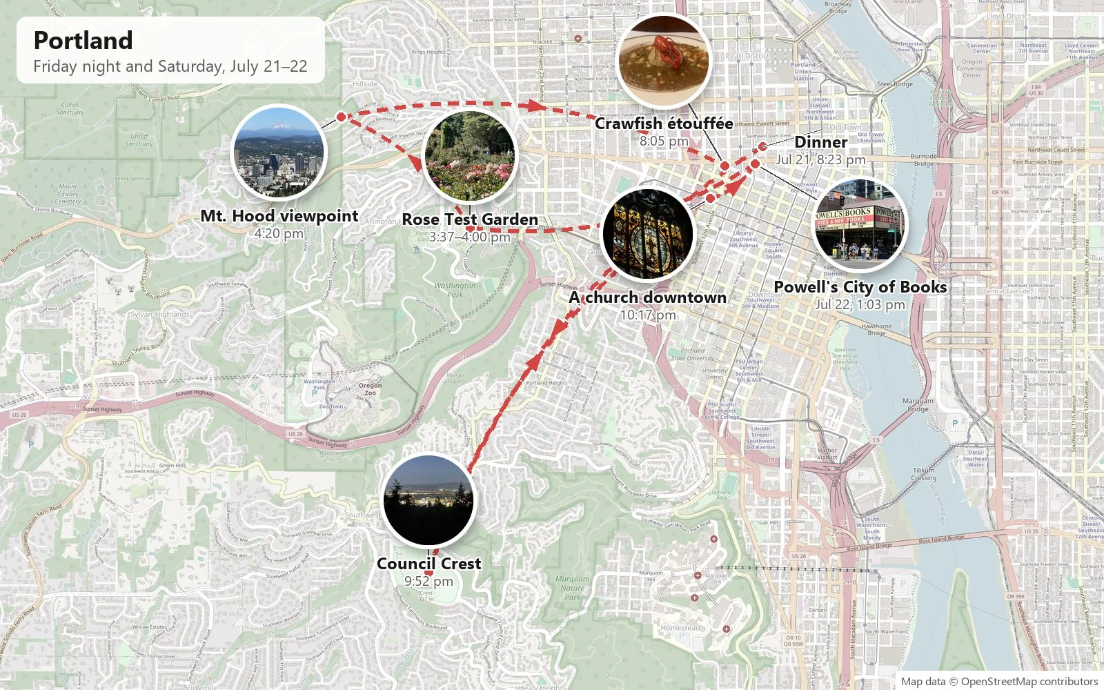
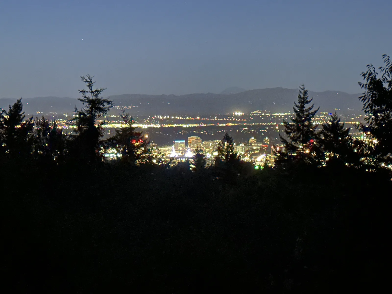
At 8:11 pm we crossed the Columbia River on the Interstate Bridge, a long green steel truss, and were in Oregon. We had dinner downtown at 8:23, in a restaurant lit pink and purple. Then we drove up to Council Crest, the high point in the hills southwest of downtown. At 9:52 the last blue was fading over the hills, and the city lights were spread out below the dark trees.
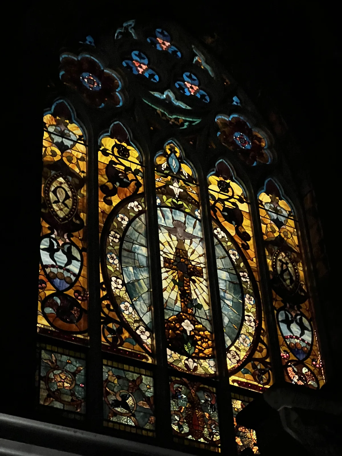
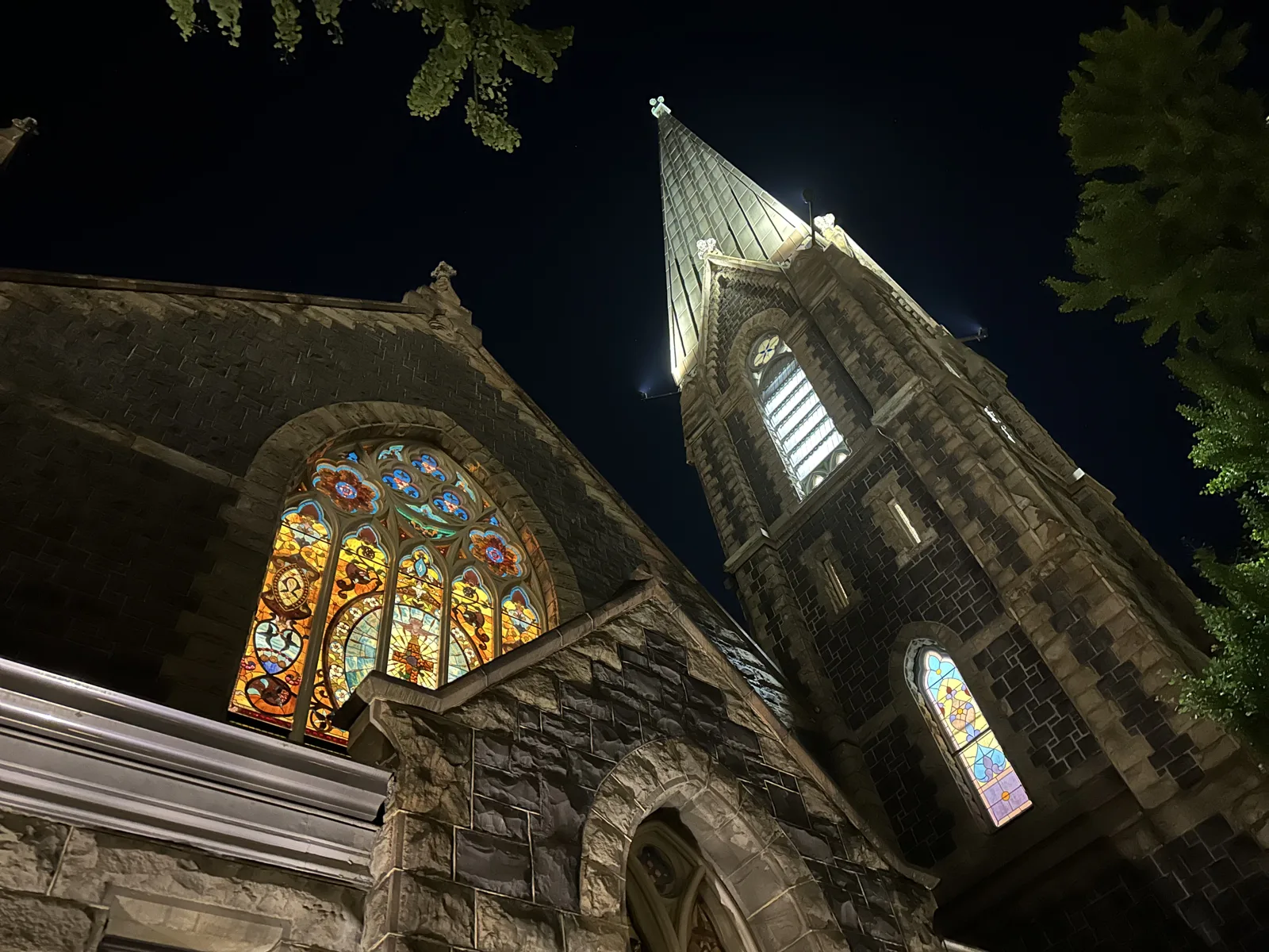
Back downtown at 10:17, we walked past a dark stone Gothic church with a tall spire. The lights were on inside, and its big stained-glass window glowed in amber, red and blue against the night.
Saturday: books, roses and a volcano
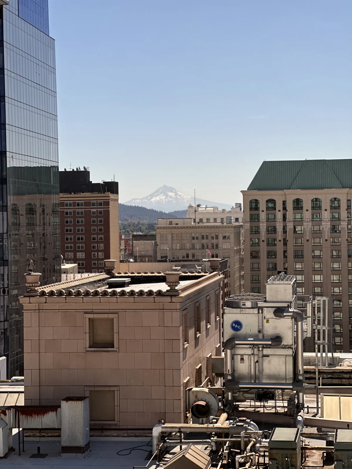
On Saturday morning, from the window of our room at the Hyatt Centric downtown, the snow-covered top of Mt. Hood showed between two buildings, far to the east. It would come back in the afternoon.
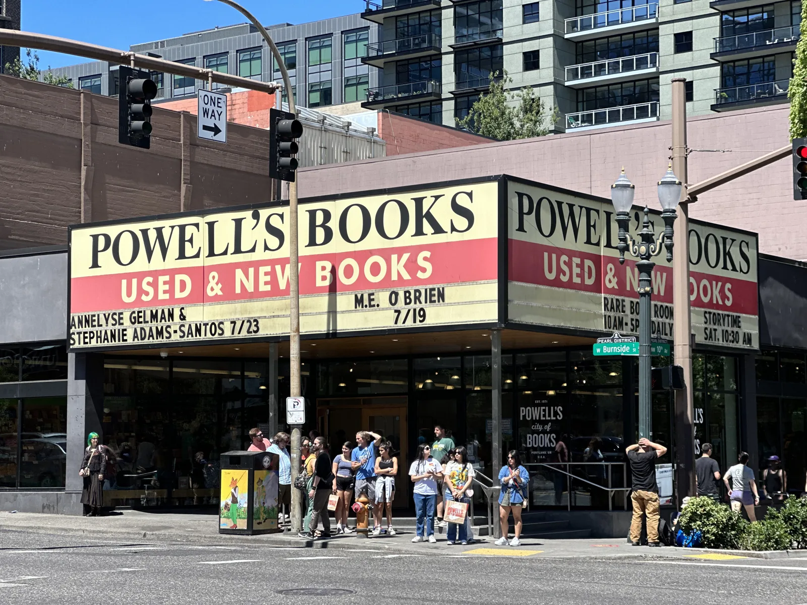
After brunch we went to Powell's City of Books, which fills a whole city block on Burnside. At 1:03 pm the marquee was announcing author events and a crowd was waiting at the corner. My wife's photos for the next hour are from the shops nearby.
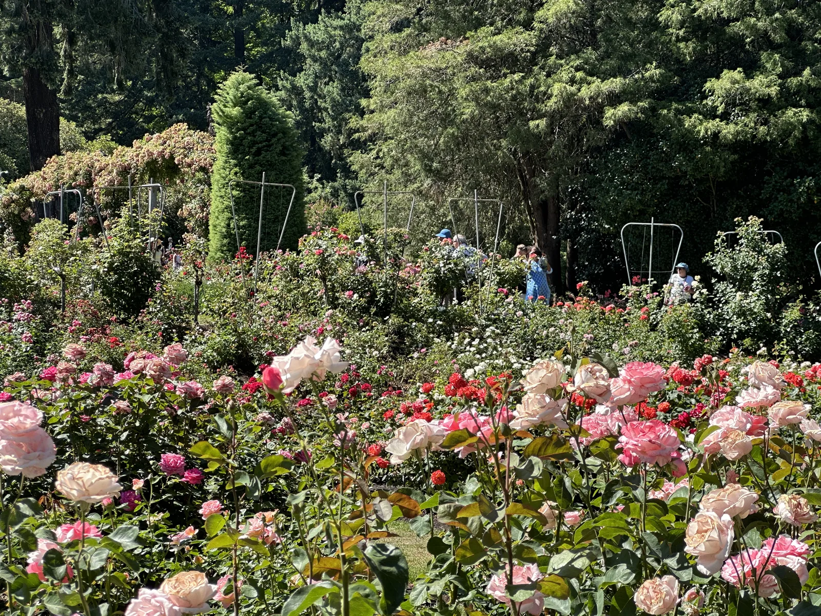
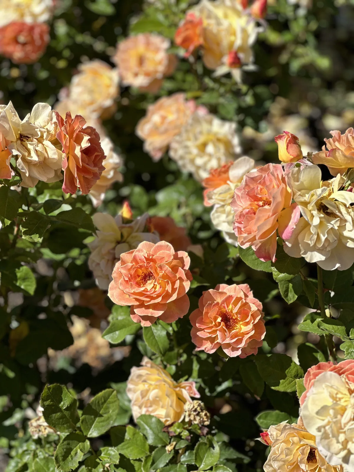
At 3:37 we were in Washington Park, at the International Rose Test Garden. The garden is a set of terraces on a hillside, with beds of roses in every color between lawns and hedges, and it was in full bloom. Most of the photos we took there are of my wife among the roses, and they stay in the family album.
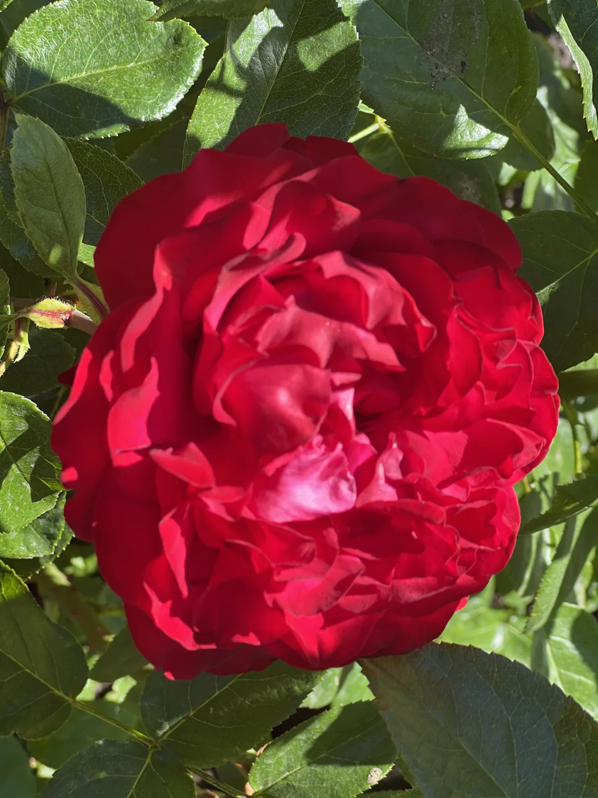
The rest are of the flowers themselves.
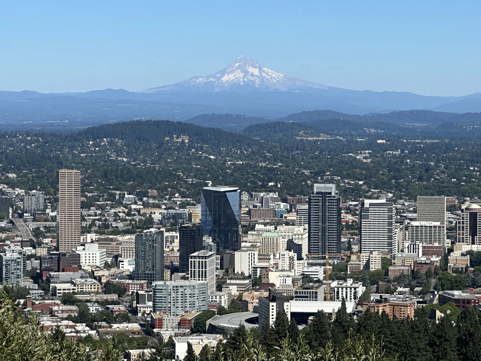
From the garden we drove a little higher into the West Hills, to a bend in the road below Pittock Mansion. At 4:20 the whole of downtown Portland was laid out below the trees, and behind it, standing alone above the hills, was Mt. Hood. My own photo from that minute is in Views from Up High, next to one from the same spot two and a half years later. This is my wife's, zoomed in a little.
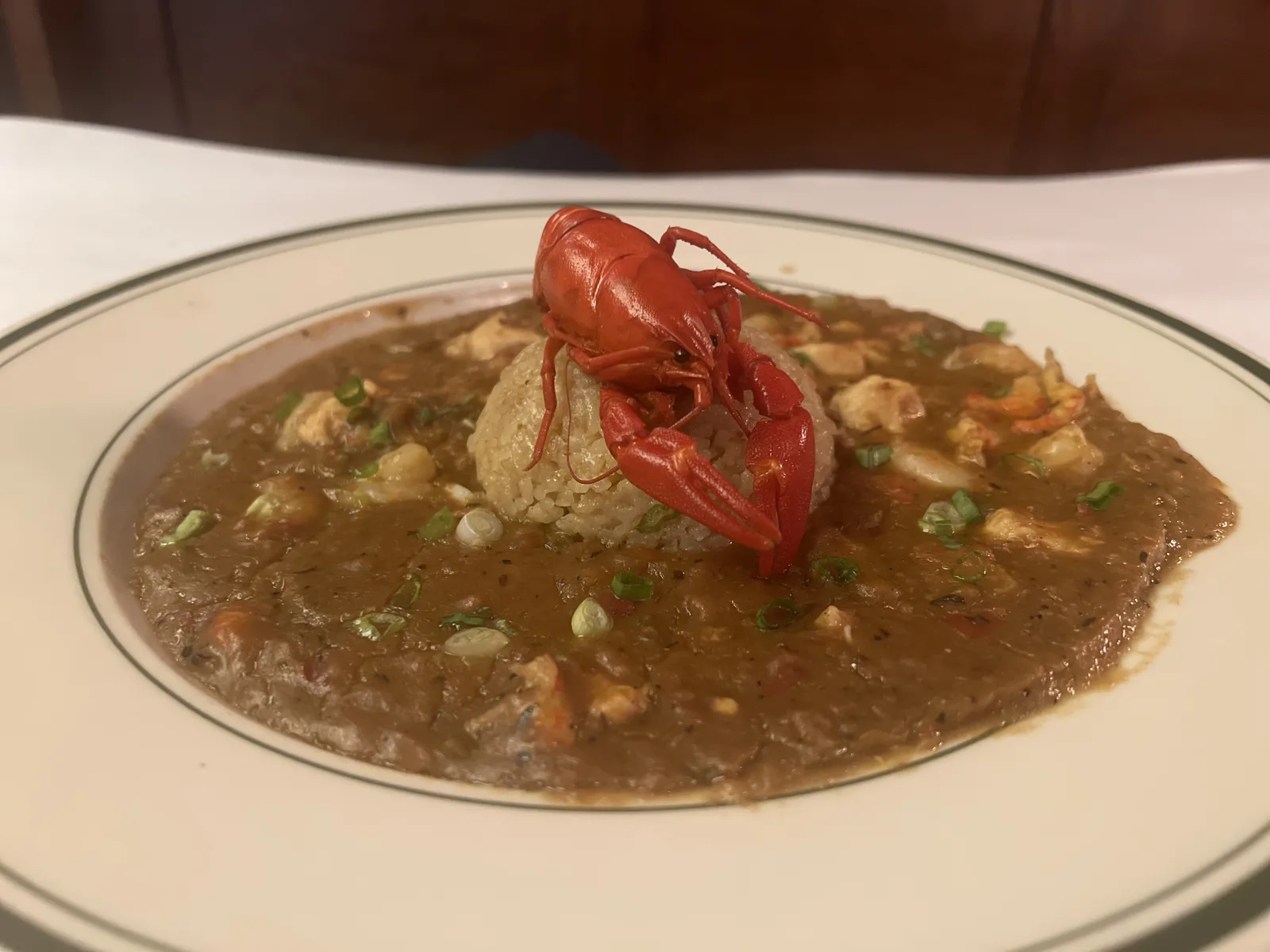
Dinner that night, at 8:05, was back downtown on 12th Avenue: crawfish étouffée, with a whole red crawfish sitting on the rice, and a plate of fried bites with two dipping sauces.
Sunday: back north
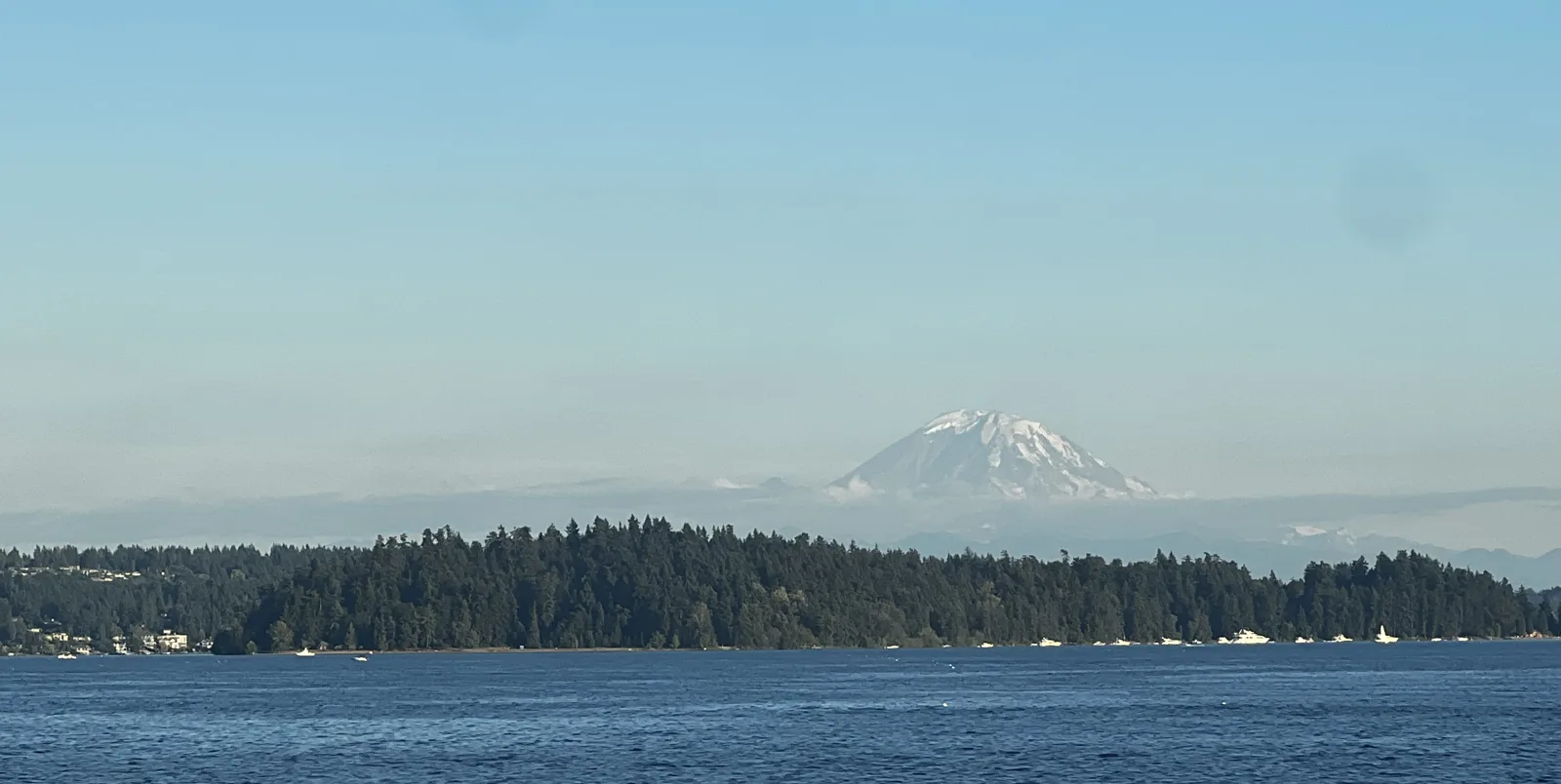
There are no photos of the drive back, but by midday on Sunday we were back on the Seattle side. That evening my wife flew home from Sea-Tac; her last photos of the trip are at the airport at 7:42 pm. Eleven minutes later I was crossing Lake Washington on the I-90 floating bridge, and there, to the south, was the other volcano: Mount Rainier, white above a wooded shore, in a clear evening sky.
Two trips, then, a month apart: one gray and one blue. June has the city from the 73rd floor, the peninsula in a day and a sail into a marina at sunset. July has Portland's books and roses, and two volcanoes in two days.
Maps built from the trips' photo timestamps and locations. Photo locations have been removed from the published images; one picture is a still from a short video. Map data © OpenStreetMap contributors; each stop is placed where its photo was taken, hotels and home are never marked, and the dashed lines show the order of stops, not the exact roads.
Some photos in this post are my wife's.
Likes and comments
React with an emoji or leave a comment. Signing in with GitHub is required.