← Misc · 2022–2025
Trails, Canyons and Lakes Around Los Angeles
Short outings in the mountains, hills and parks of Los Angeles, 2022–2025.
Santa Monica Mountains: Tuna Canyon, Corral Canyon (twice), Will Rogers, the Nancy Hoover Pohl Overlook · San Gabriels: Switzer Falls, Millard Falls and Millard Ridge, the Angeles Crest at dawn, San Gabriel Canyon · City hills: Runyon Canyon (twice), Griffith Park, Elysian Park · Lakes and parks: the Arboretum, Silver Lake, Echo Park Lake, Machado Lake, the Puente Hills
One stone labyrinth · one kitten on a boulder · one peacock · and, from 2025, Wangcai
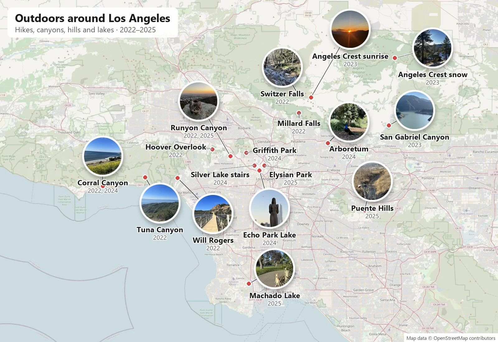
Most posts on this page are about trips. This one is about the opposite: the outings that fit into a morning or an afternoon, without leaving Los Angeles. Los Angeles is ringed by mountains. The Santa Monica Mountains run along the coast to the west, the San Gabriels stand behind the city to the north, and between them there are hills and parks inside the city itself. Over four years the camera roll picked up a lot of these short outings: a few hikes in 2022, a sunrise drive in 2023, and from 2024 on, more walks than hikes, eventually with Wangcai.
Everything below is reconstructed from photos: what was photographed, where, and at what minute. The 2022 outings are from my own camera roll; some of those hikes were with friends, who are not shown. From late 2023 on, many of the photos are my wife's, and those outings were ones we did together. A few places that are already on this site are only linked here: Griffith Observatory is in Views from Up High, and the night on the Angeles Crest Highway is in the stars post.
The Santa Monica Mountains
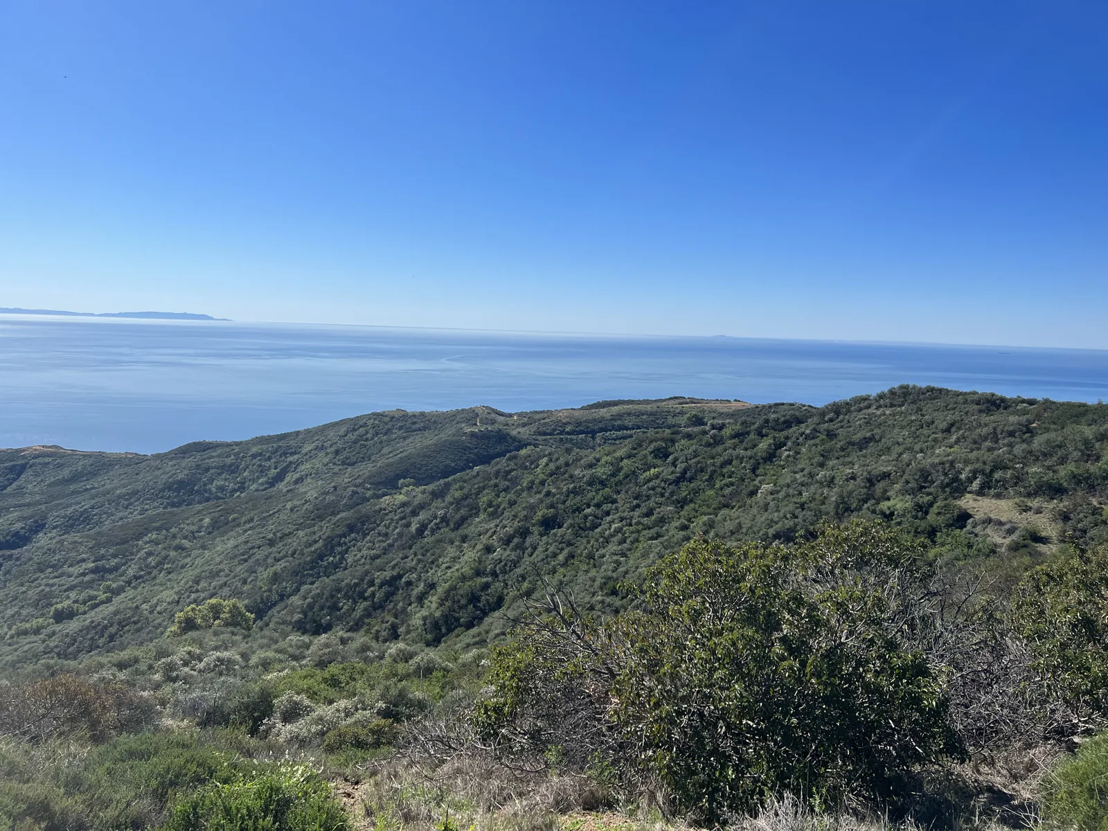
The first outing in the camera roll is Tuna Canyon Park above Malibu, on February 6, 2022, a hike with friends. The trail runs along a ridge of low green chaparral, and from it the ocean fills the whole horizon. At 10:53 the water was a flat, hazy blue, with the outline of an island far out on the left.
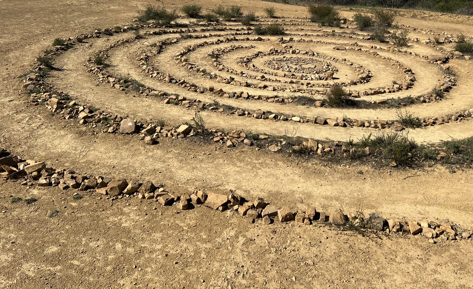
Twenty minutes later the trail reached a flat dirt clearing with a labyrinth laid out in stones: a spiral of small rocks, several rings deep, with paths of bare dirt between them.
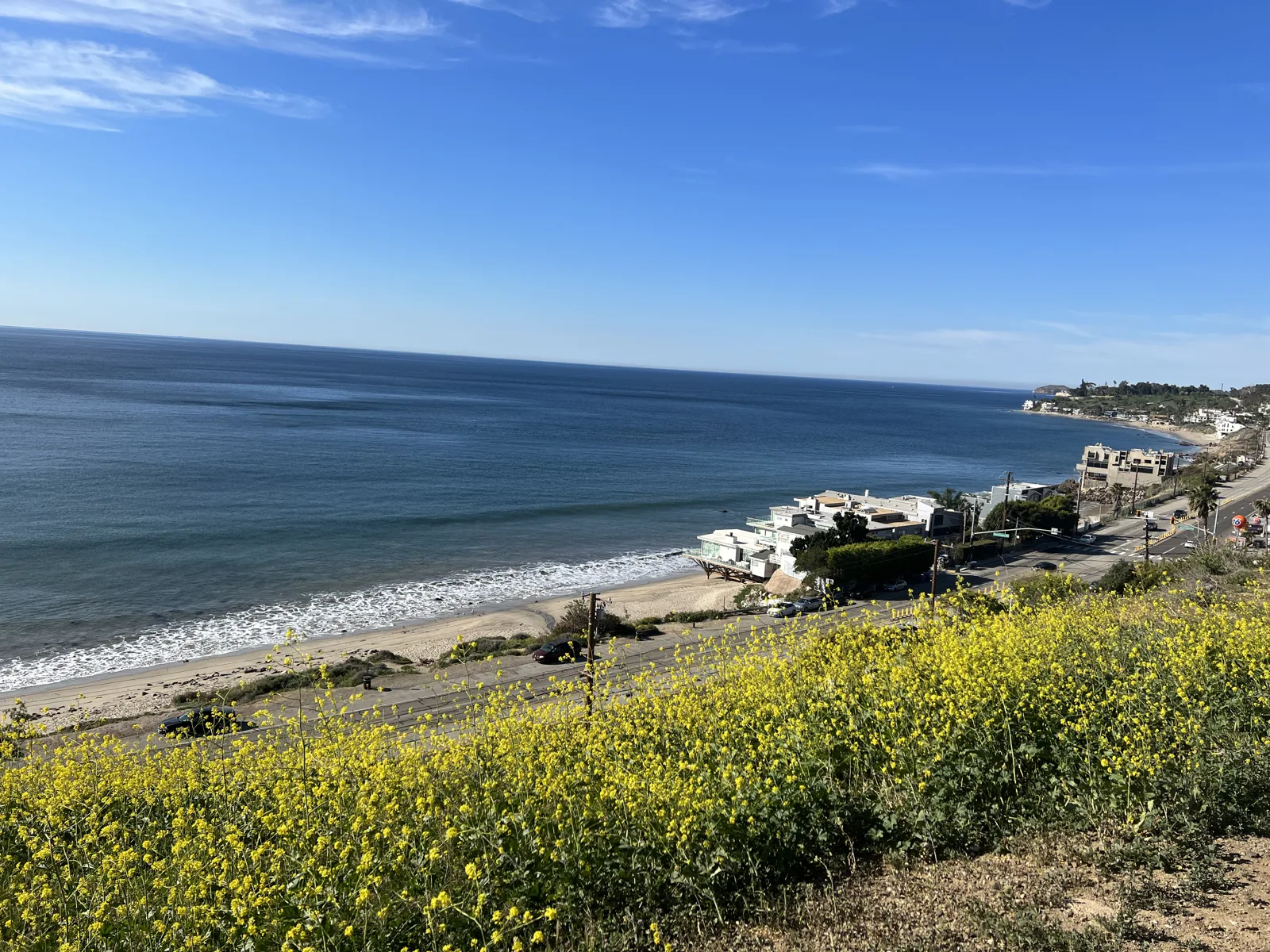
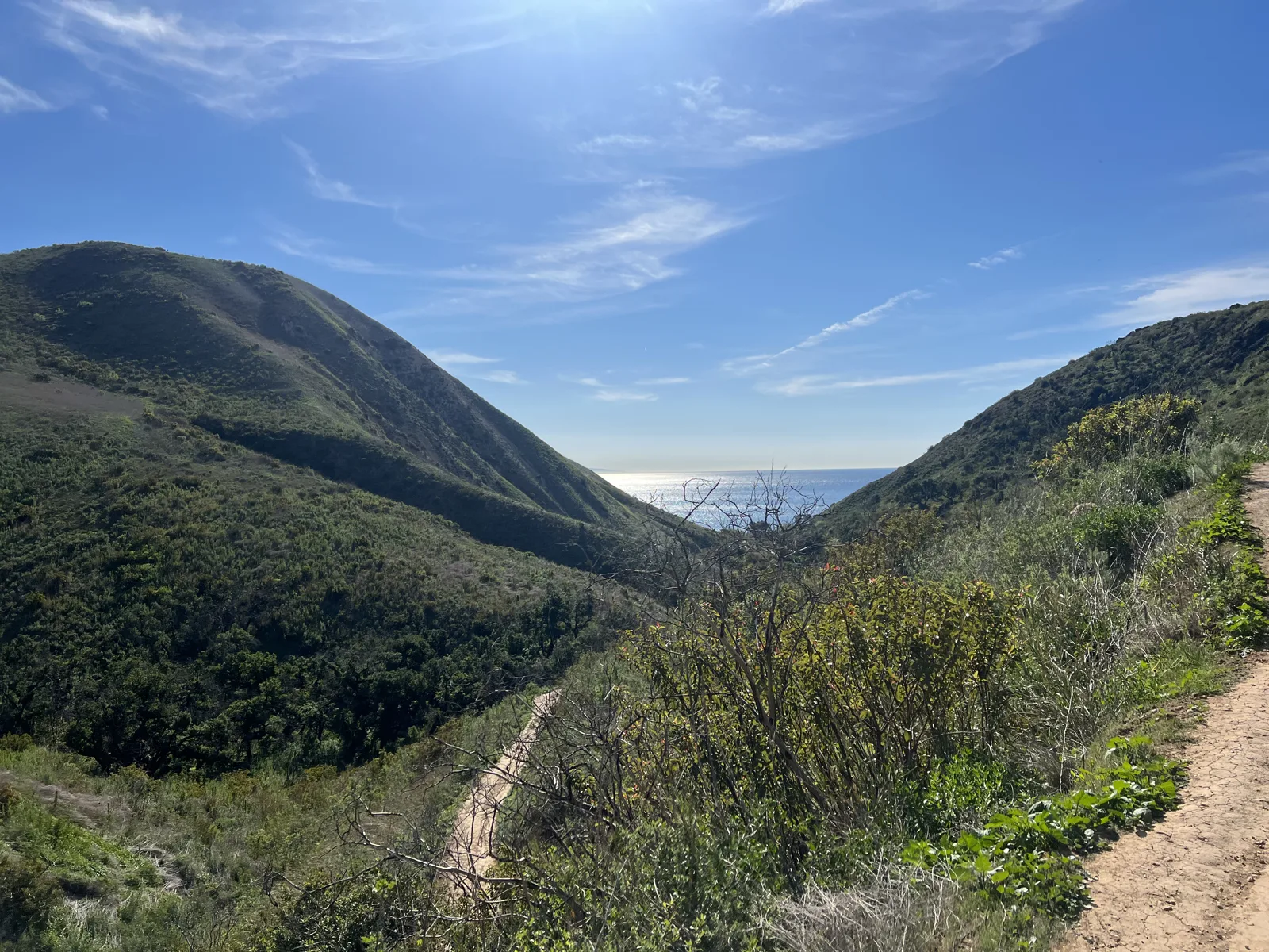
Three weeks later, on February 26, I was on the Corral Canyon trail in Malibu by nine in the morning. The slope above the Pacific Coast Highway was covered in yellow wildflowers, with the beach and a row of beach houses below. Twenty minutes further in, the trail turned up the canyon, a green V of hillside with a strip of ocean at the bottom.
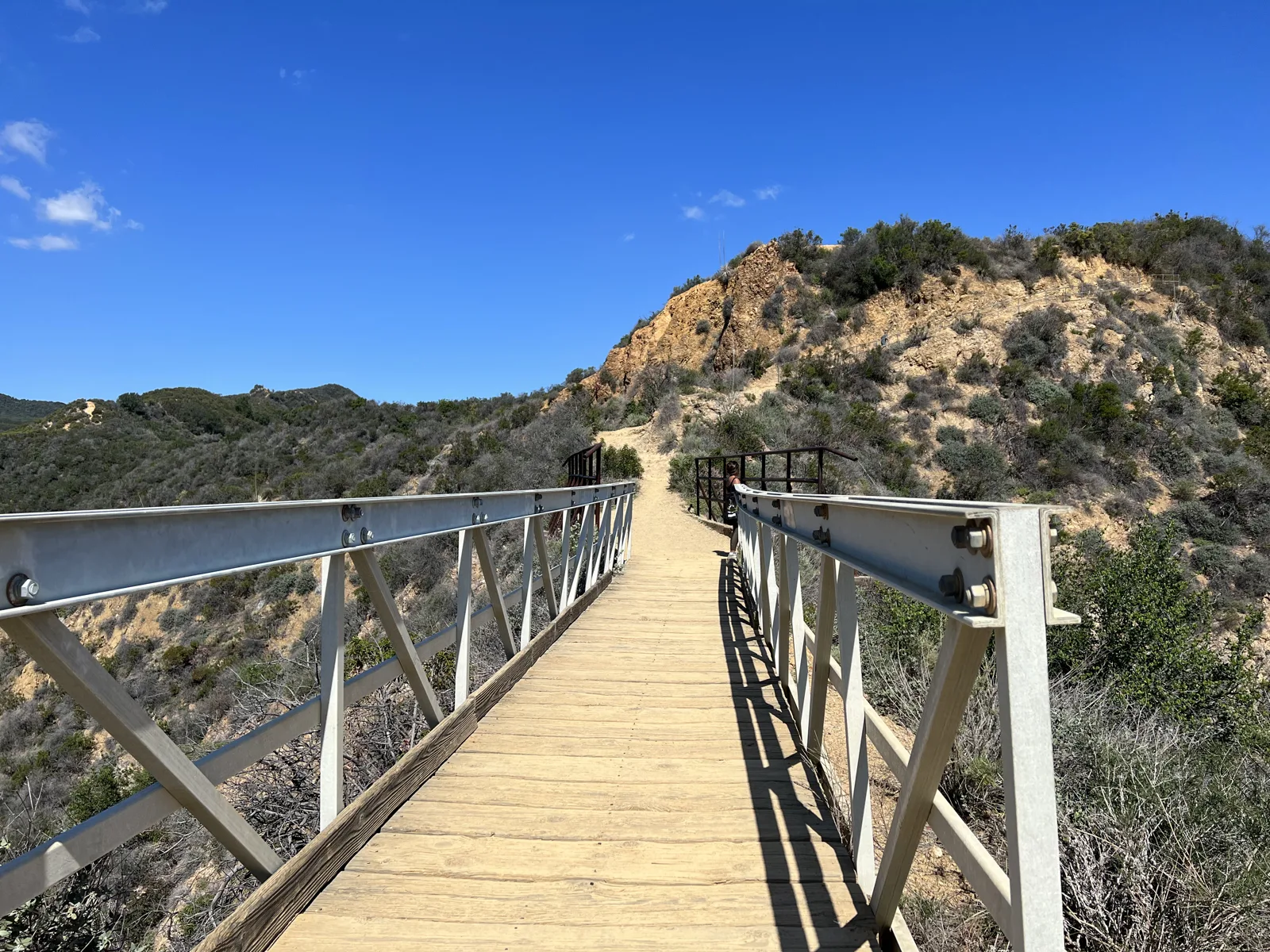
On March 6 it was Will Rogers State Historic Park in Pacific Palisades: up to Inspiration Point, then along the Backbone Trail. The point of that stretch, at 11:22, was a footbridge: a narrow wooden deck with white railings, crossing a gap in the ridge toward a hill of pale rock.
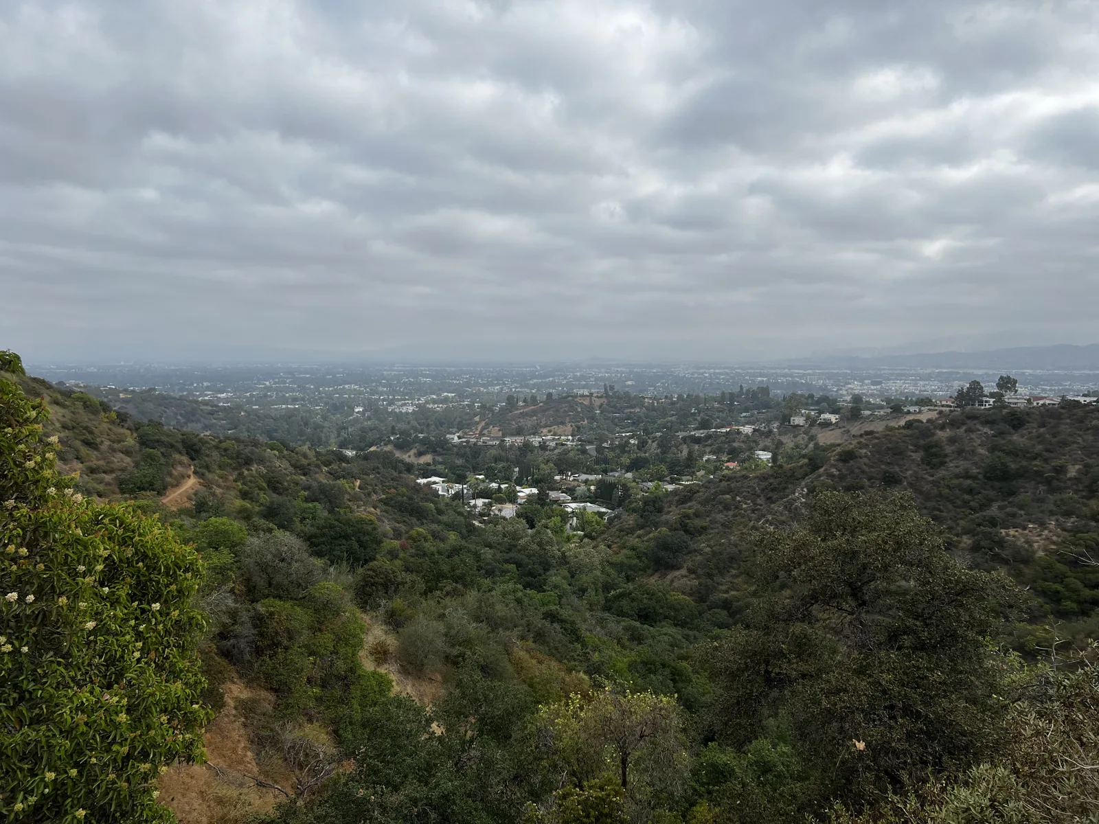
In June there was one more early start in these mountains, on June 18, to the Nancy Hoover Pohl Overlook in the Santa Monica Mountains above Beverly Hills. At 8:25 the sky was still gray, and the canyon below opened onto the flat city in the haze.
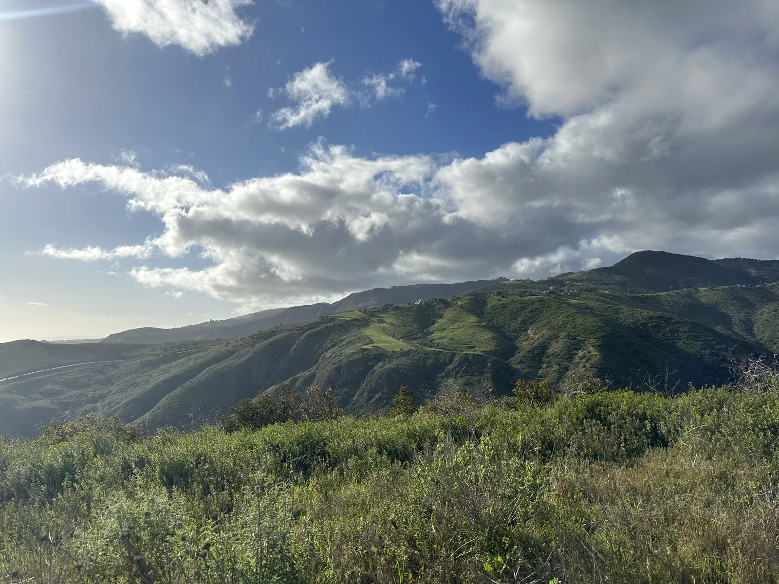
Two years later, on March 3, 2024, we went back to Corral Canyon with friends, this time under a sky full of storm clouds. The hills had turned a deep green, and the clouds were breaking up over them in the late afternoon.
The San Gabriels
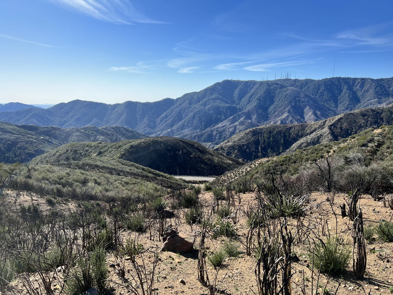
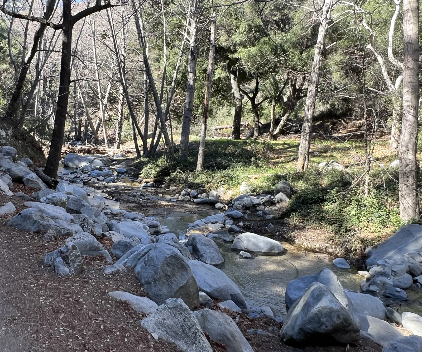
The San Gabriel Mountains are the wall behind Pasadena and the San Gabriel Valley, and the Angeles Crest Highway climbs into them from La Cañada Flintridge. On February 13, 2022, a week after Tuna Canyon, I went up it with friends to hike to Switzer Falls. The first photo, at 10:03, looks out across ridge after ridge of the range; by 11:34 the trail was down in the canyon, following a creek over gray boulders under bare trees.
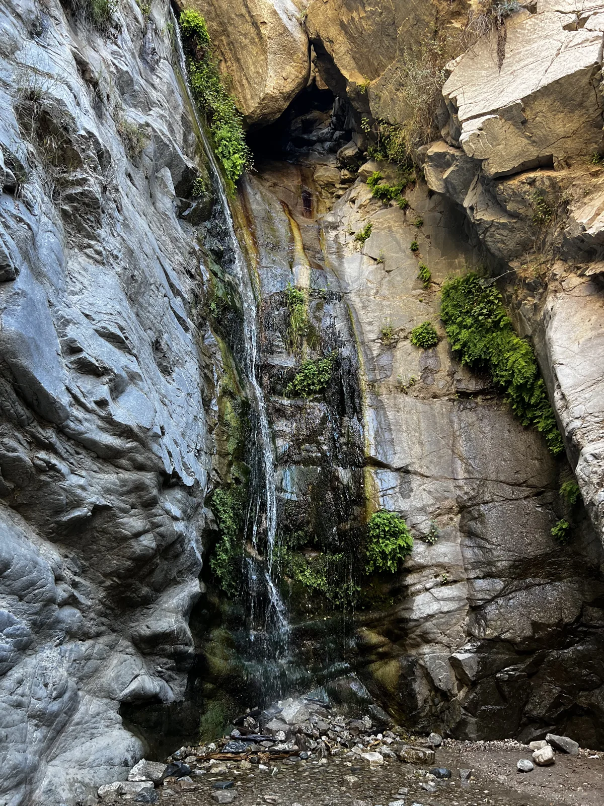
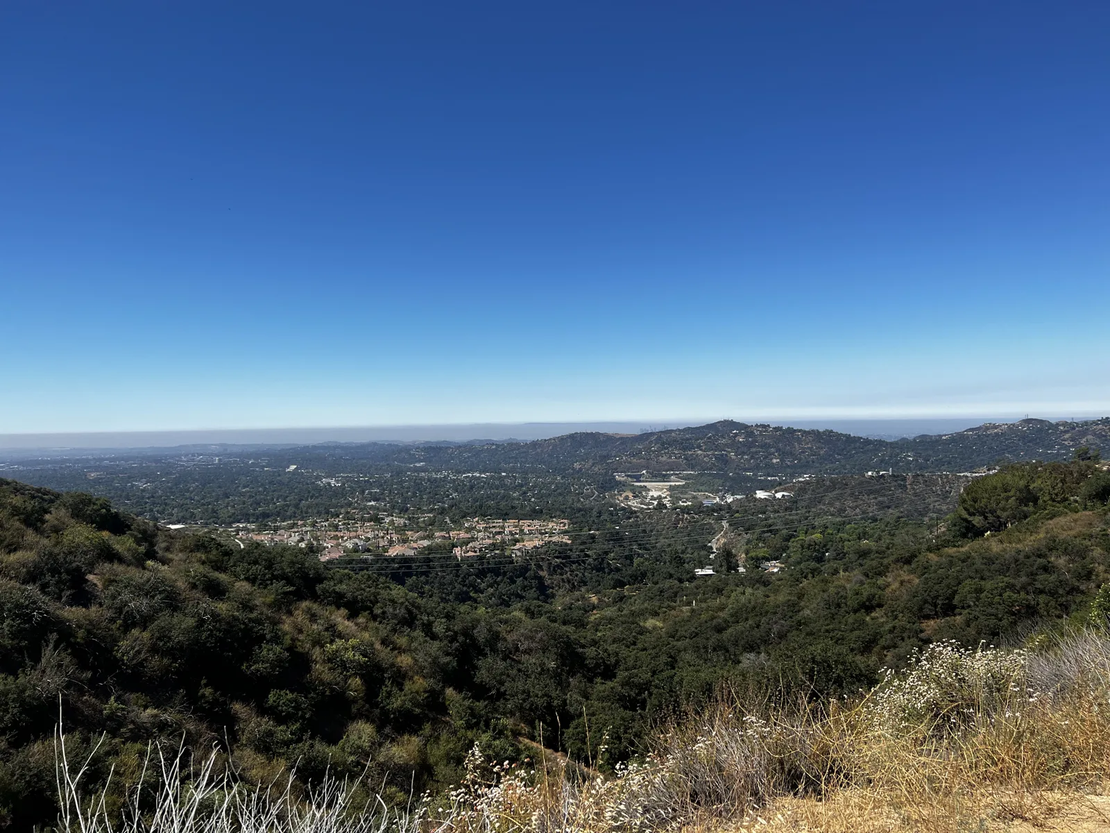
That June there were two short morning hikes above Altadena. On June 11 it was Millard Falls, a thin stream of water sliding down a cleft of pale, smooth rock with green plants in the cracks. Two weeks later, on June 25, it was the ridge above it, with the whole valley spread out below.
The Angeles Crest at dawn
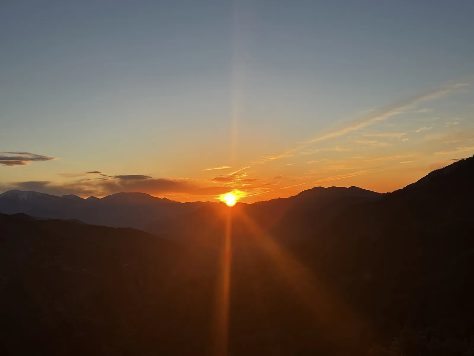
The best morning in the San Gabriels was February 18, 2023, when my wife and I drove up the Angeles Crest Highway for the sunrise. The first photos were taken at 6:27 at a turnout on the highway, before the sun was up. At 6:33 the sky over the ridges to the east was bright orange, and by 6:36 the sun had cleared the mountains.
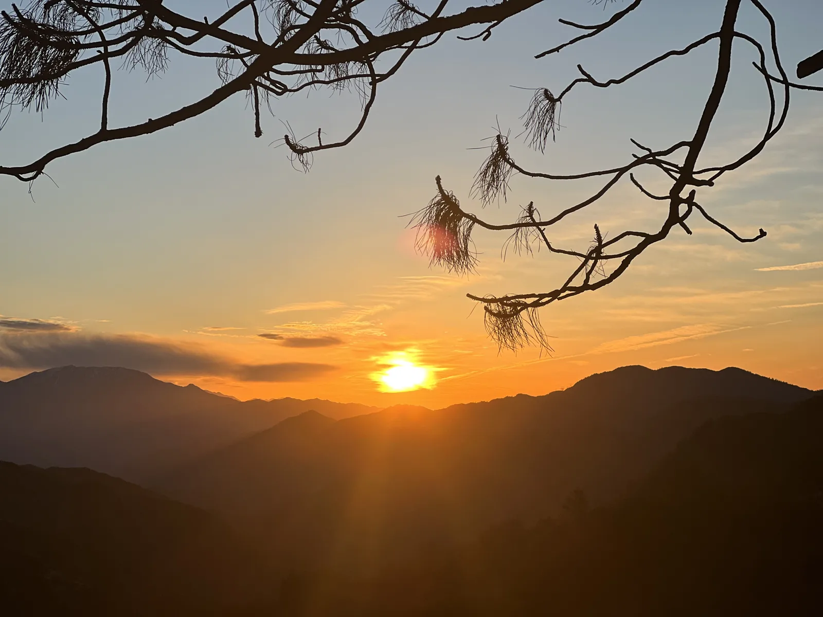
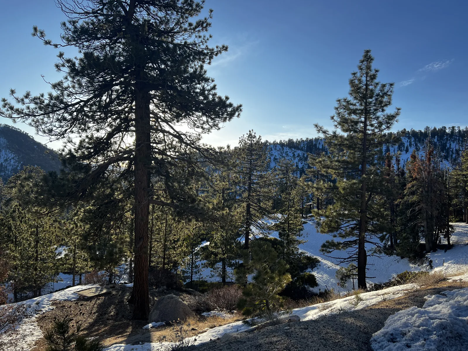
A few minutes later, at 6:41, the same view had pine branches hanging across the top of the frame. Then we drove on. By 7:24 we were farther east along the highway, high enough for snow: patches of it lay on the rocks between tall pines, in bright sunshine.
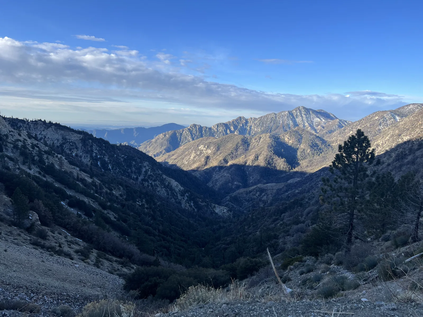
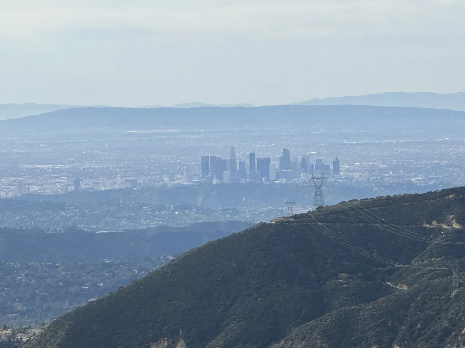
The last stop going out, at 7:40, was a turnout looking out over the high country: a deep valley in shadow, and beyond it a row of bare gray peaks in full sun, with a few clouds sitting above them. Two minutes later, a little further along, a single pine stood on the slope against the blue.
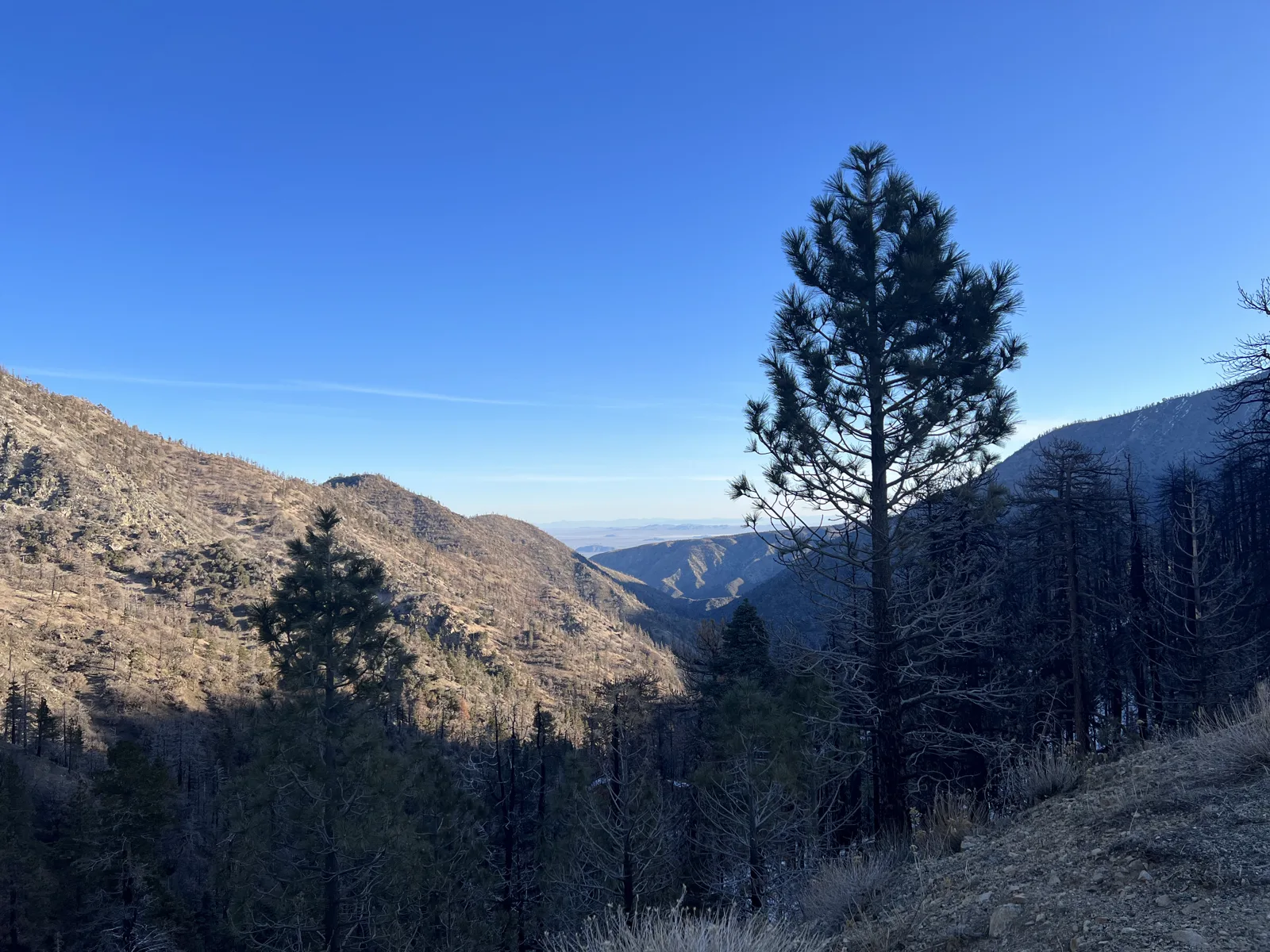
On the way down, at 8:38, we stopped once more where the road looks back over the front ridges, and downtown Los Angeles stood small in the haze far below.
San Gabriel Canyon
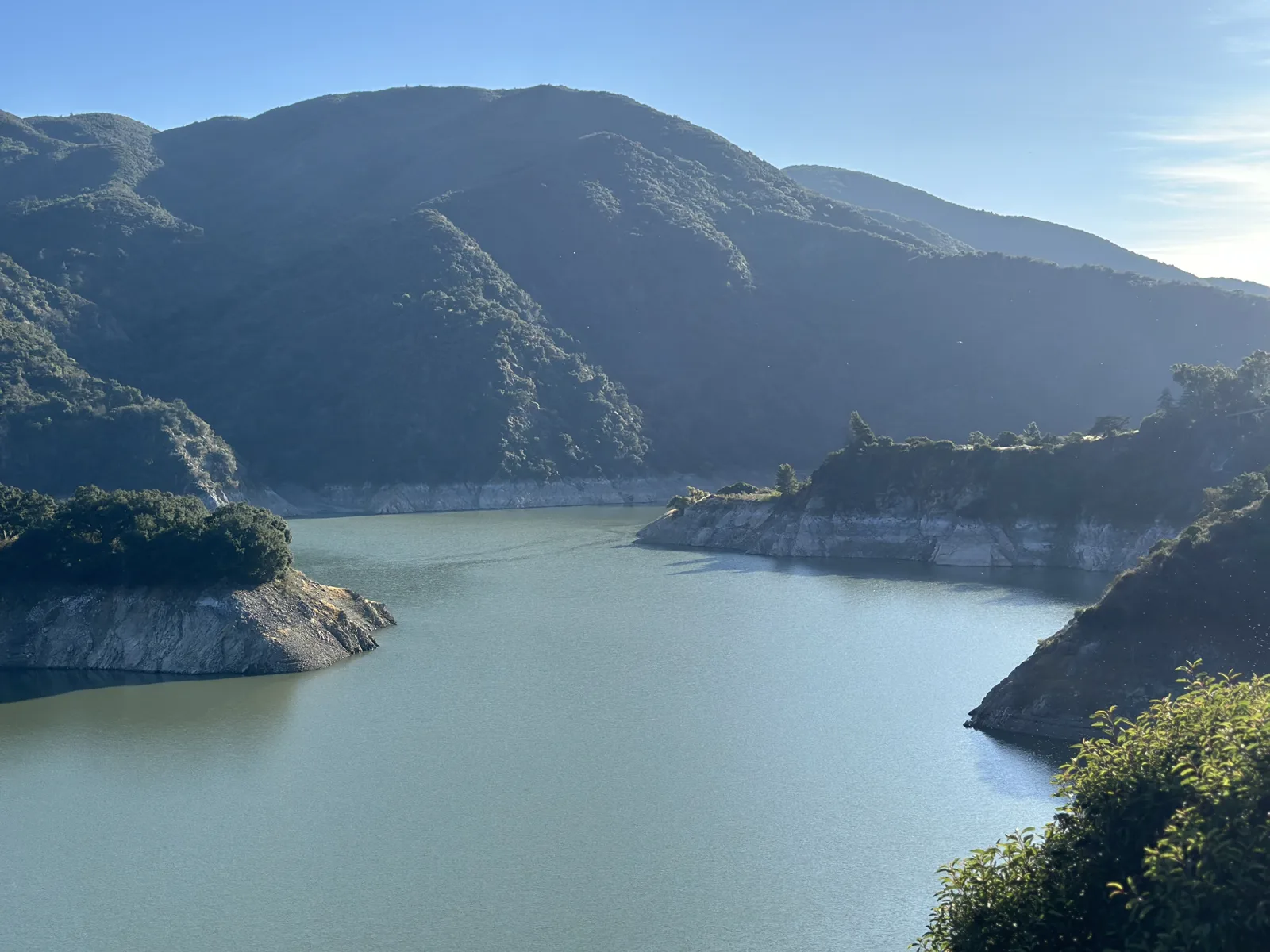
On December 2, 2023, we drove up San Gabriel Canyon from Azusa, along Highway 39. At 2:33 the road ran above the reservoir behind Morris Dam, a long arm of green water between steep mountainsides, its banks showing a pale ring where the water had been higher.
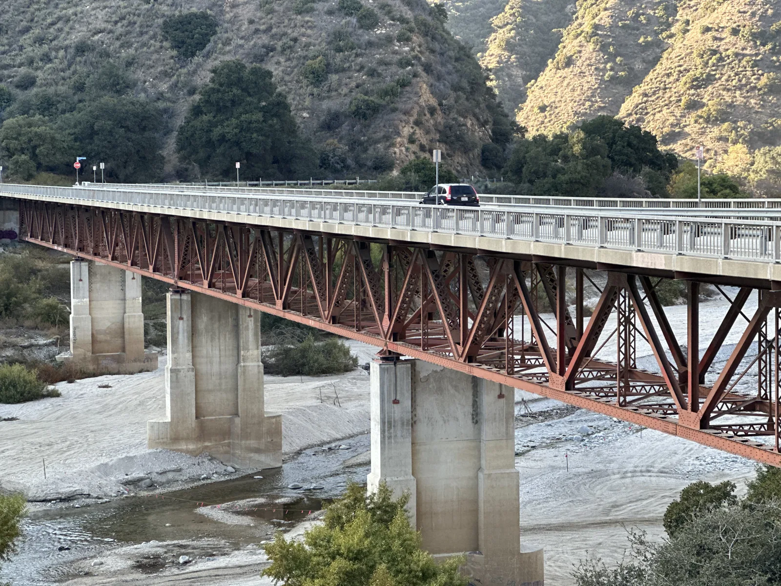
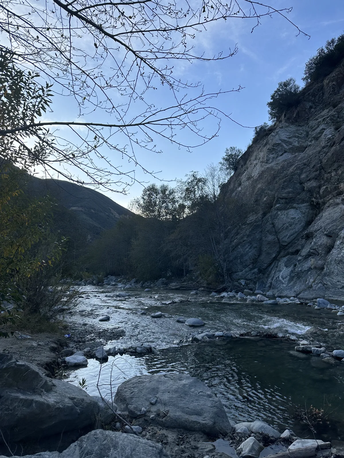
Farther up the canyon, at 2:48, a red steel bridge carried the road across a wide, pale riverbed of stones. At 3:13 we were down by the water, at a clear stream running between boulders below a rock wall.
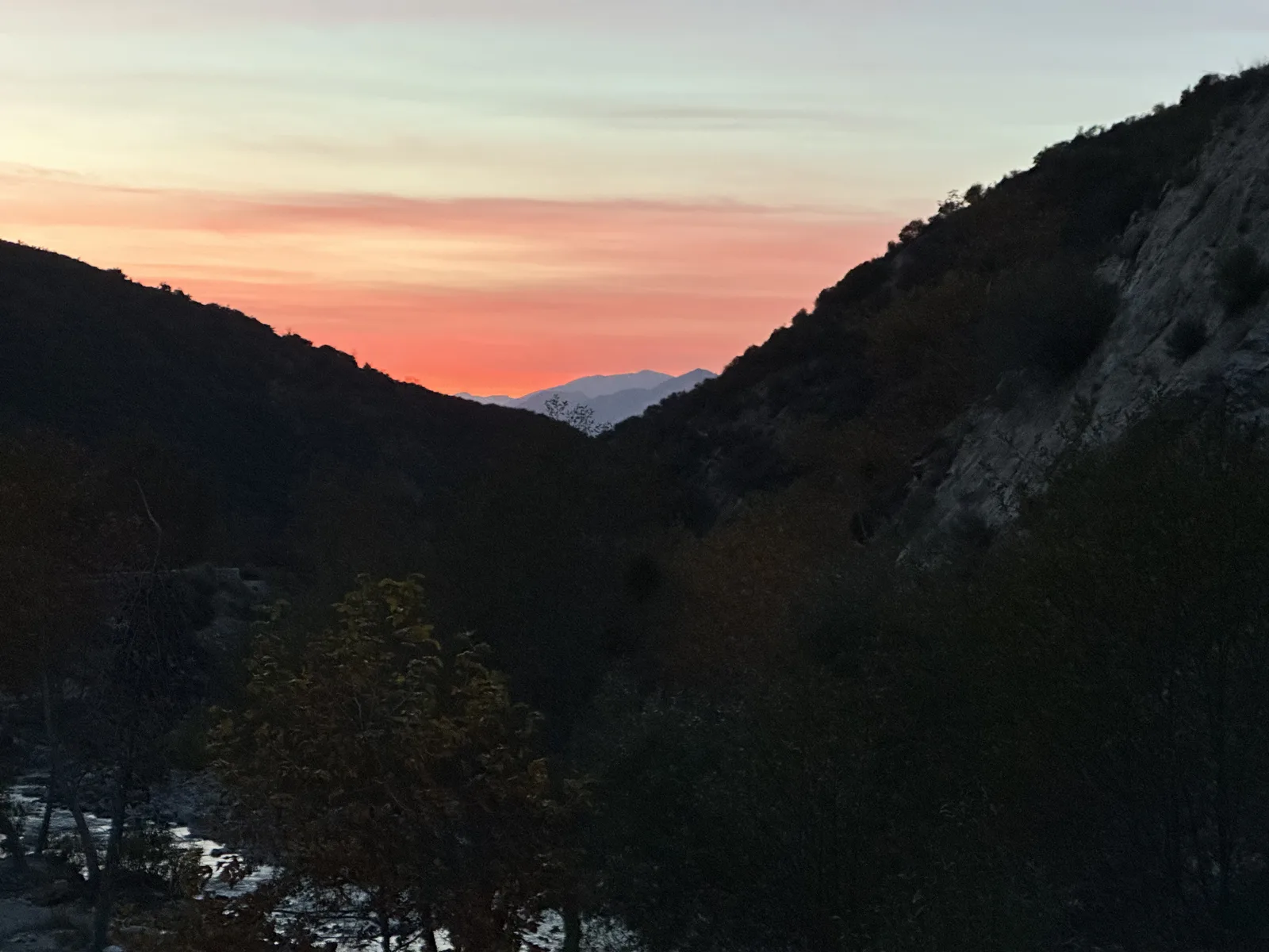
We stayed in the canyon until sunset. The last photos, at 5:00, show the ridges in silhouette against a pink and orange sky.
Hills in the city
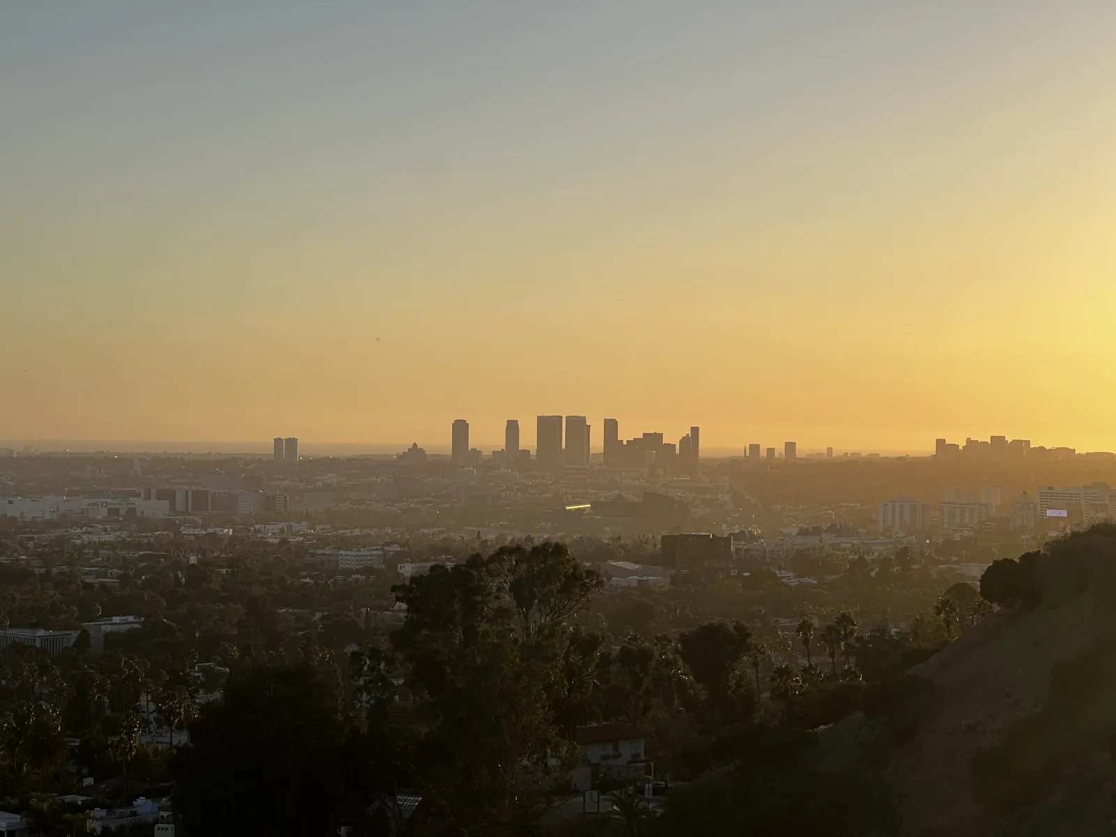
Not every hike in Los Angeles needs a drive into the mountains. Runyon Canyon is in Hollywood itself. On October 23, 2022, I went up at sunset. At 5:48 the sun was low over the basin, and downtown stood out as a cluster of towers in the orange haze.
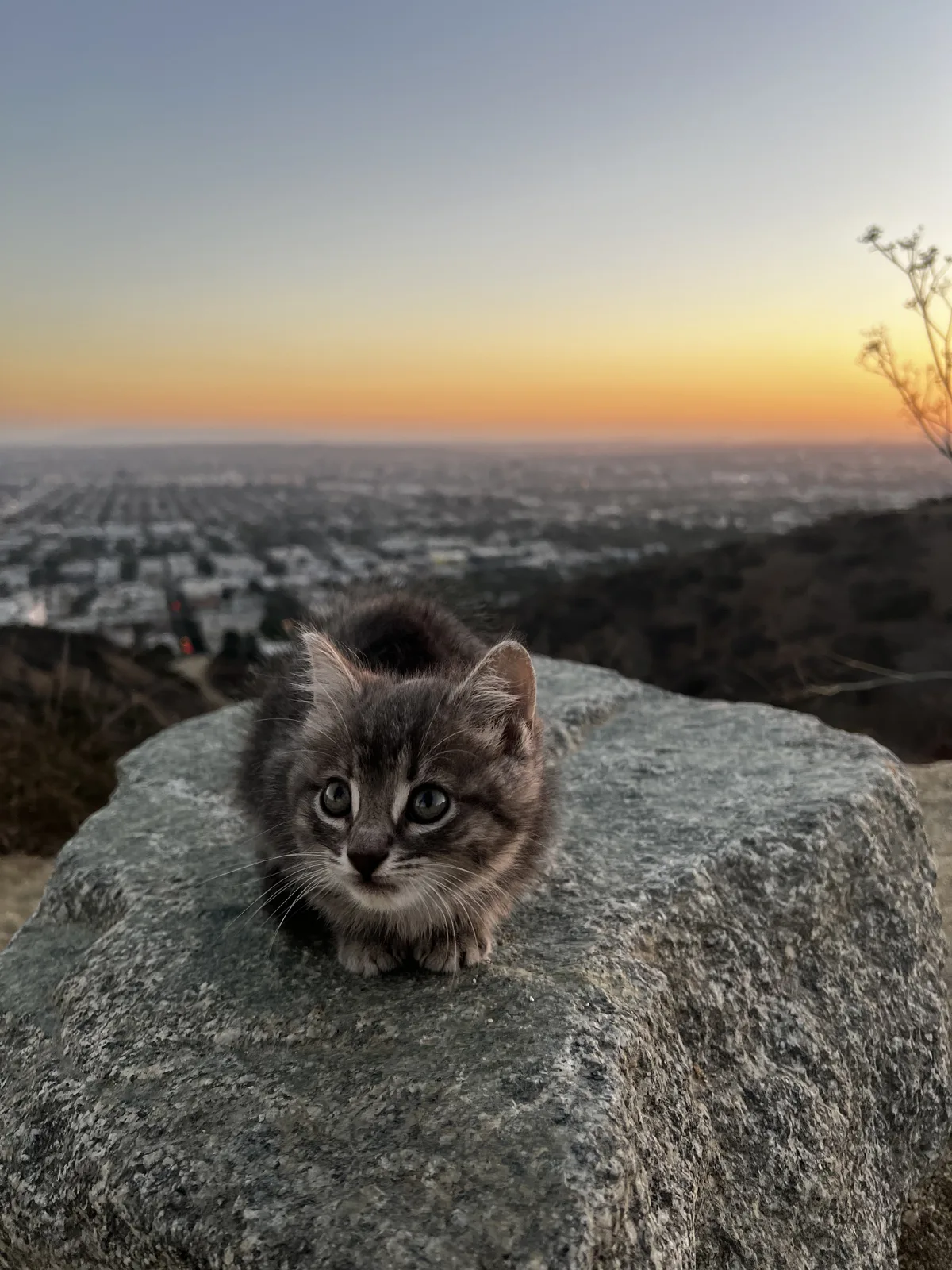
Near the top, at the lookout called Cloud's Rest, a gray tabby kitten was sitting on a boulder, with the sunset behind it.
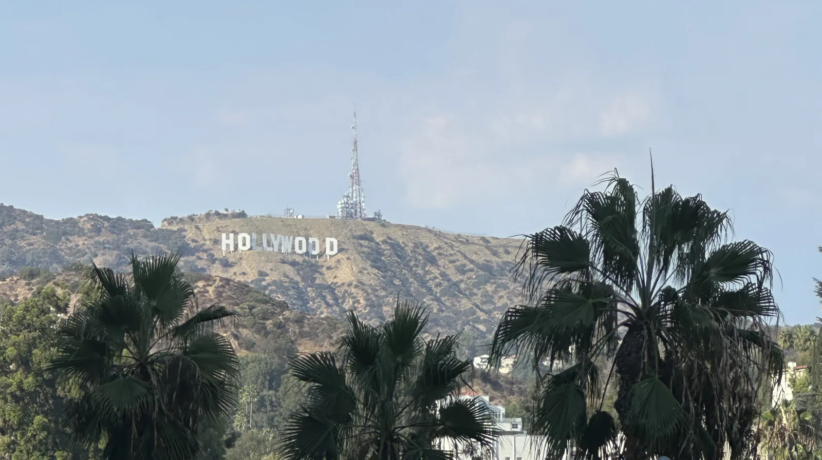
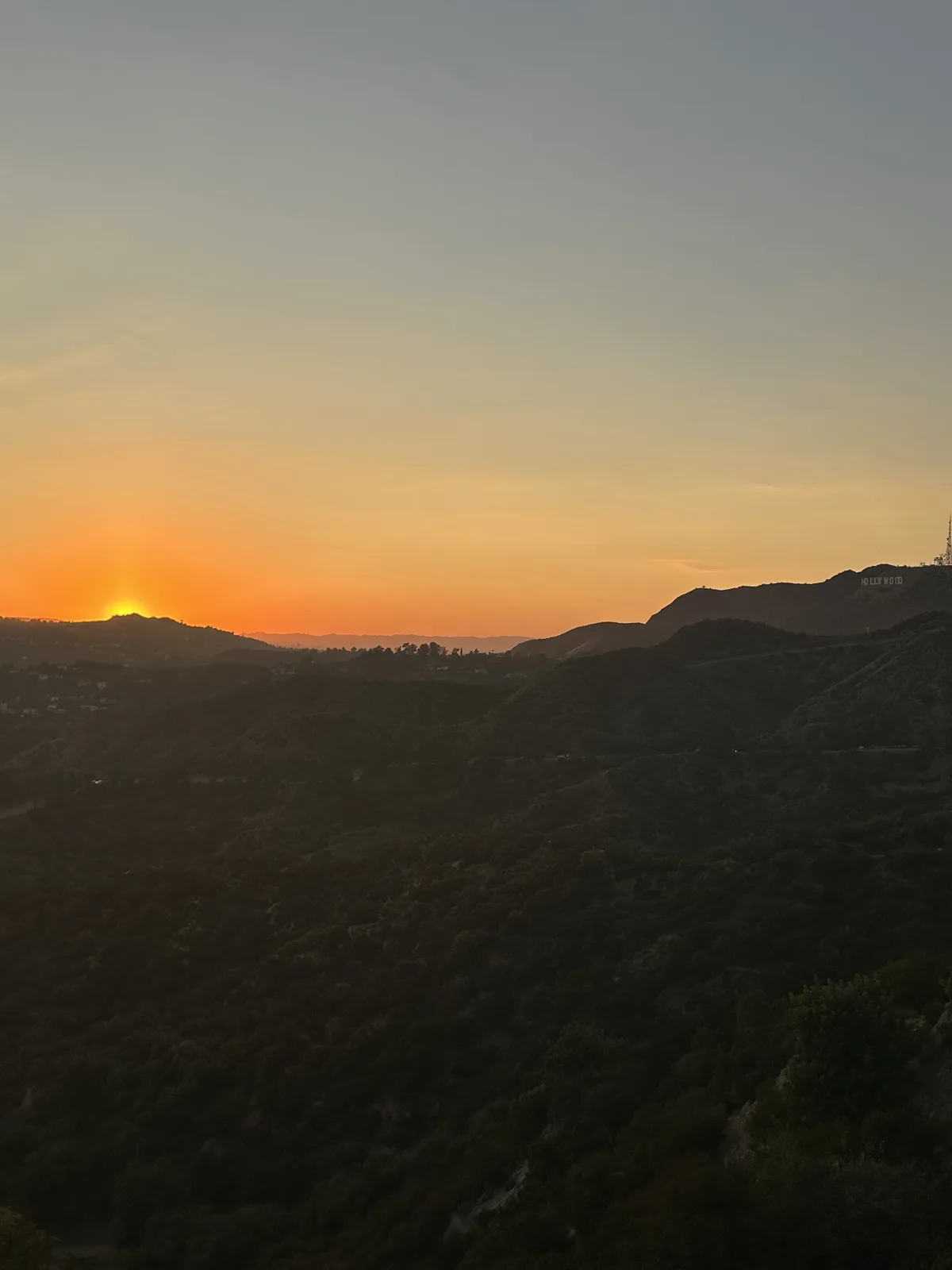
On September 7, 2024, we were in Hollywood in the afternoon. From the street, at 4:48, the Hollywood Sign showed above a row of palms. That evening we walked a trail in Griffith Park, east of the sign, and at 7:04 the sun set over the hills.
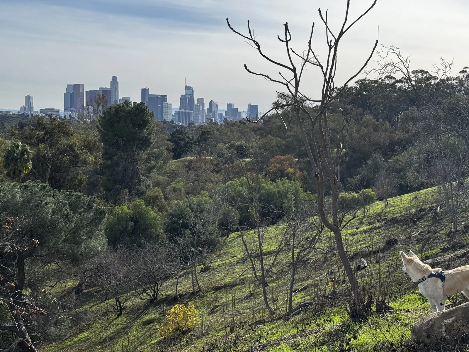
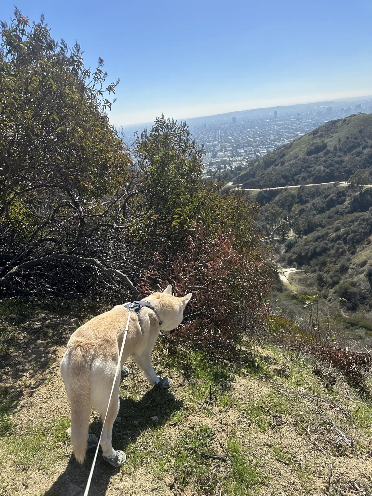
Wangcai came home in January 2025, and after that the city hills became dog walks. On February 16 we took her to Elysian Park, the park on the hills just north of downtown. At 2:51 she was at the right edge of the frame, with the downtown towers rising beyond the trees.
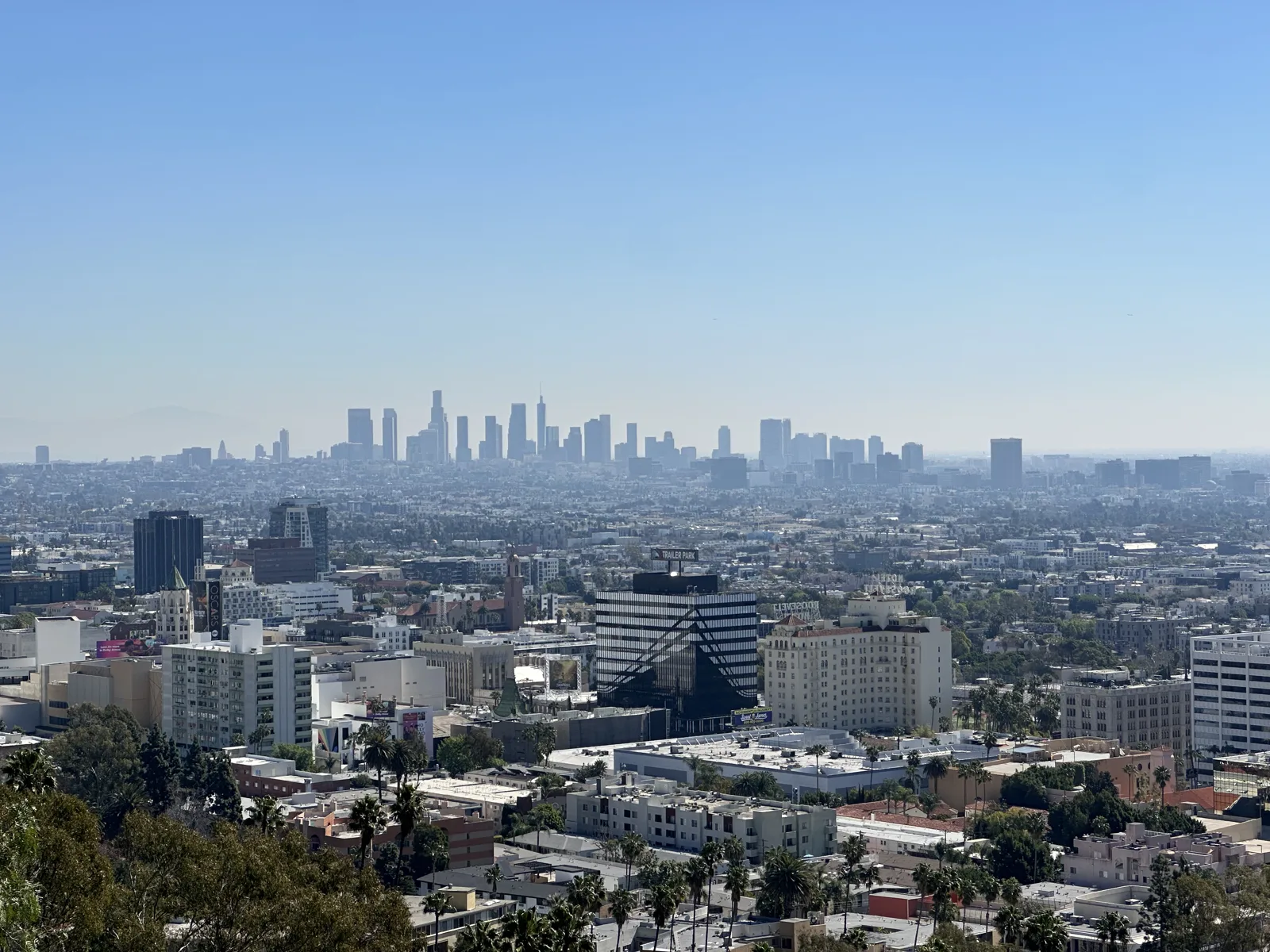
A week later, on February 23, we took her up Runyon Canyon, this time at midday. At 11:51 the view from the trail ran all the way from Hollywood to the downtown towers.
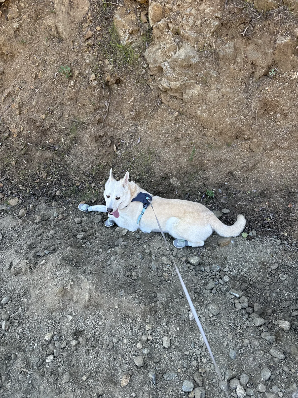
At 12:27 Wangcai stopped on a slope to look down the canyon, and at 12:39 she lay down in the dirt for a rest.
Lakes and parks
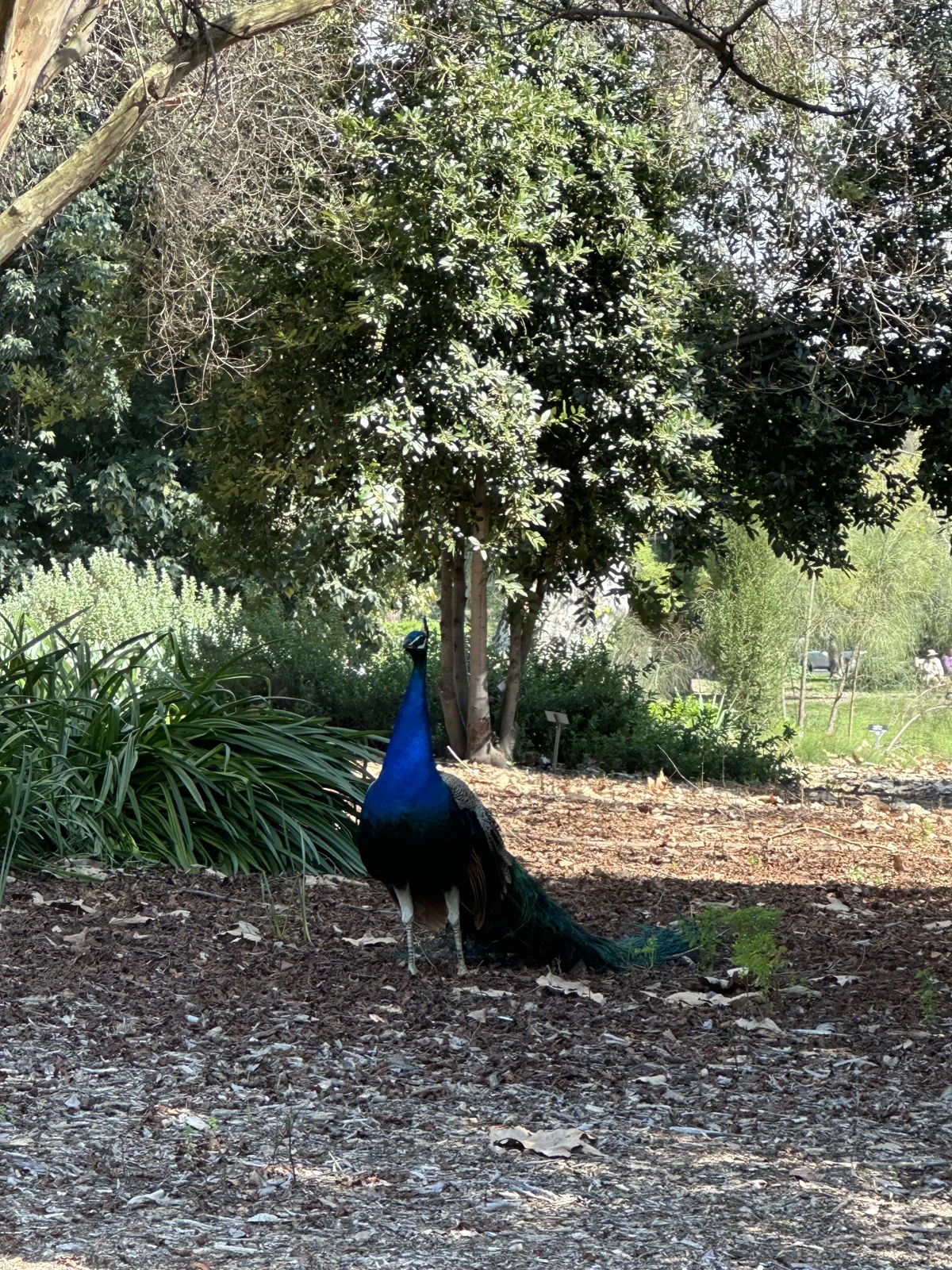
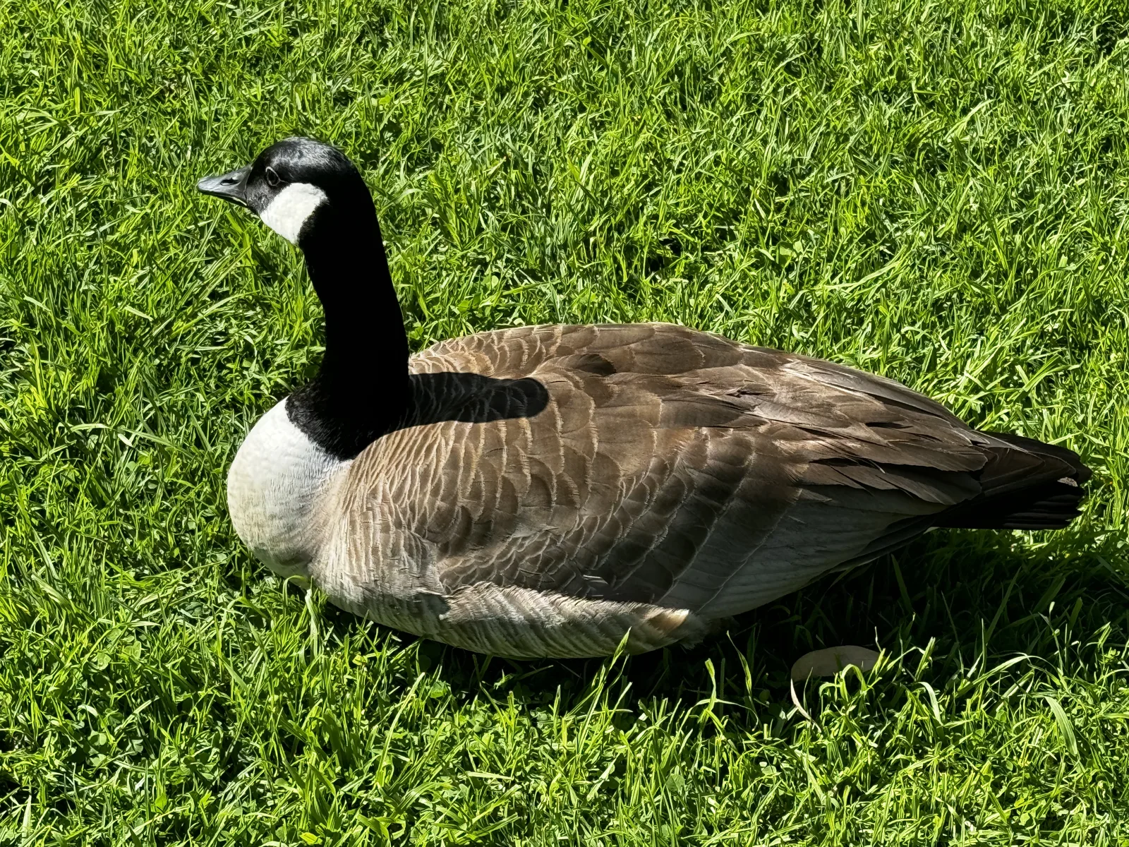
On March 10, 2024, we spent the afternoon at the Los Angeles County Arboretum in Arcadia. We found a peacock under the trees at 2:29. A few minutes later there were Canada geese resting on the lawn.
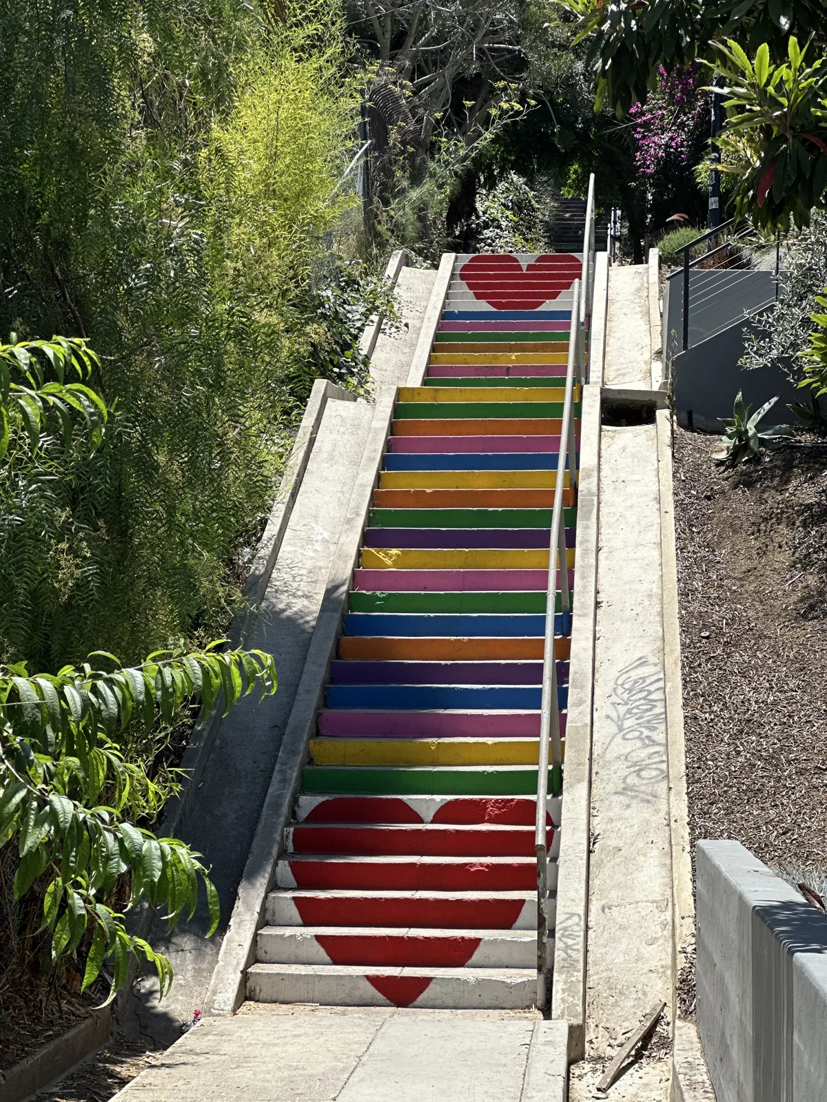
On June 29 we were in Silver Lake, where a public stairway is painted in rainbow stripes with a red heart at the bottom.
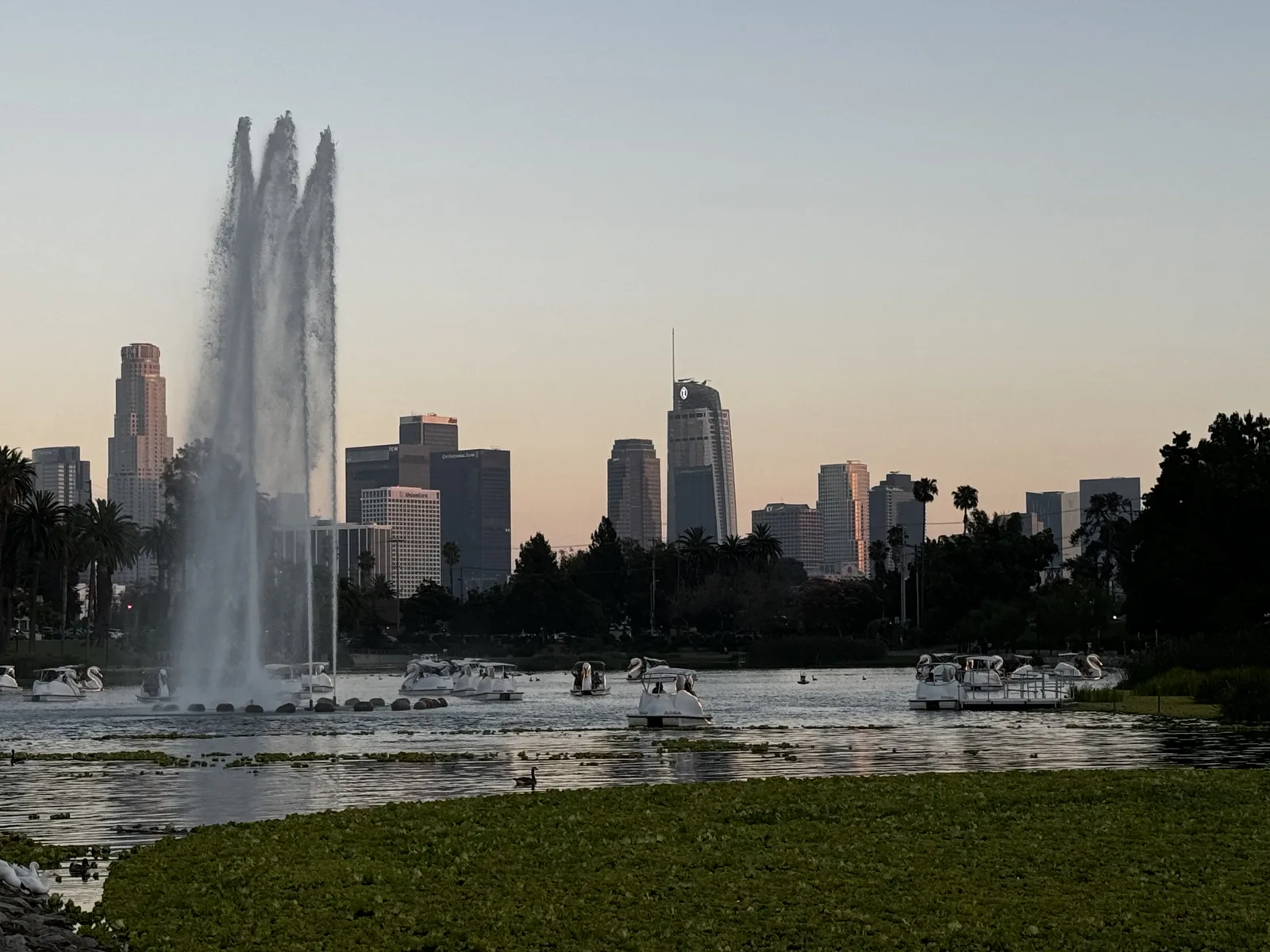
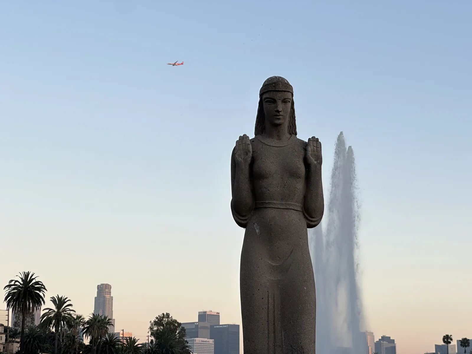
On July 2, 2024, we were at Echo Park Lake at sunset. The lake's fountain was running, with the downtown towers lined up behind it, and the lotus beds in the foreground were a solid green. At the edge of the lake stands the Lady of the Lake, a tall stone statue of a woman with her hands raised, and at 8:01 she was framed against the fountain and the pale evening sky.
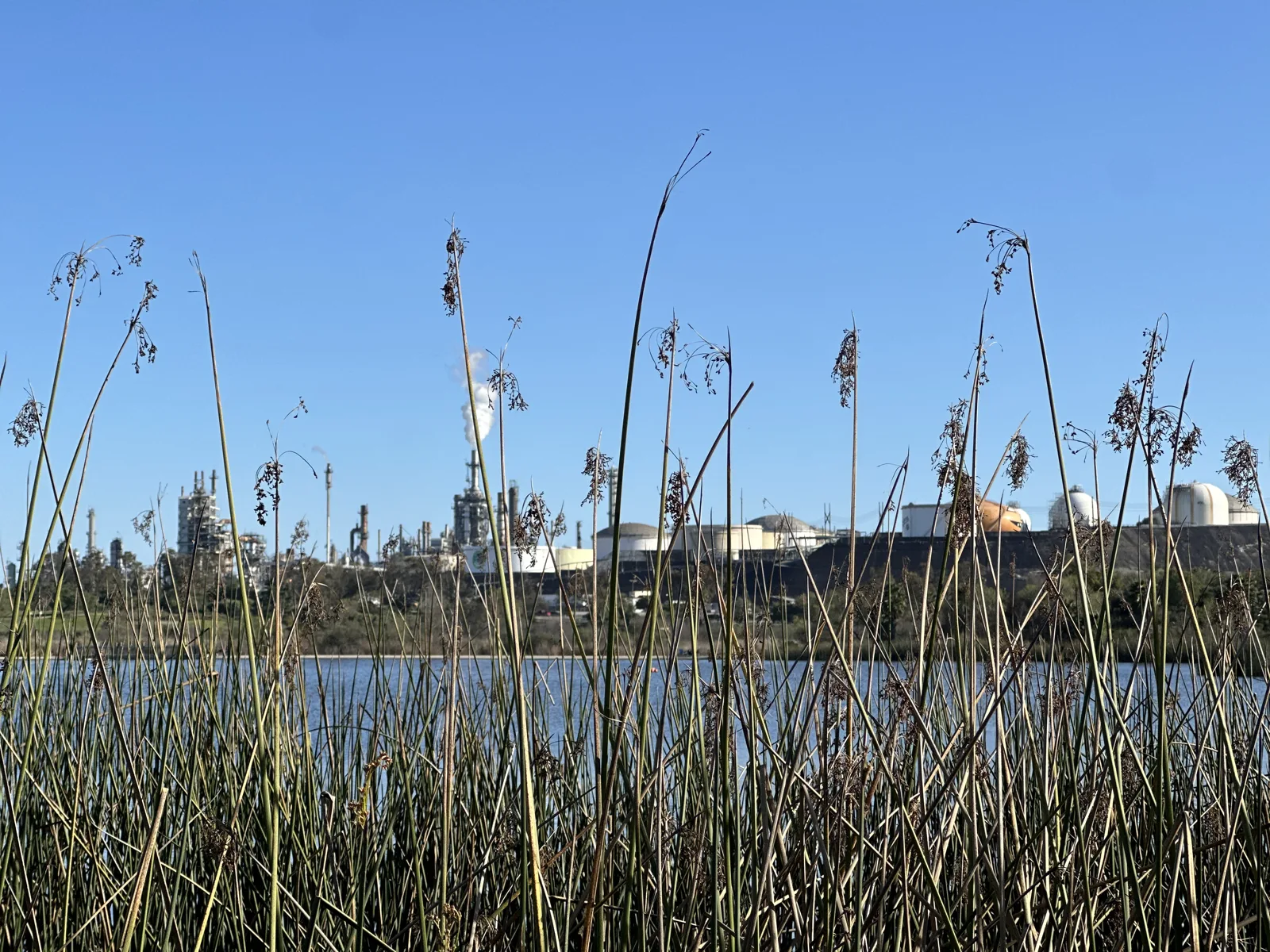
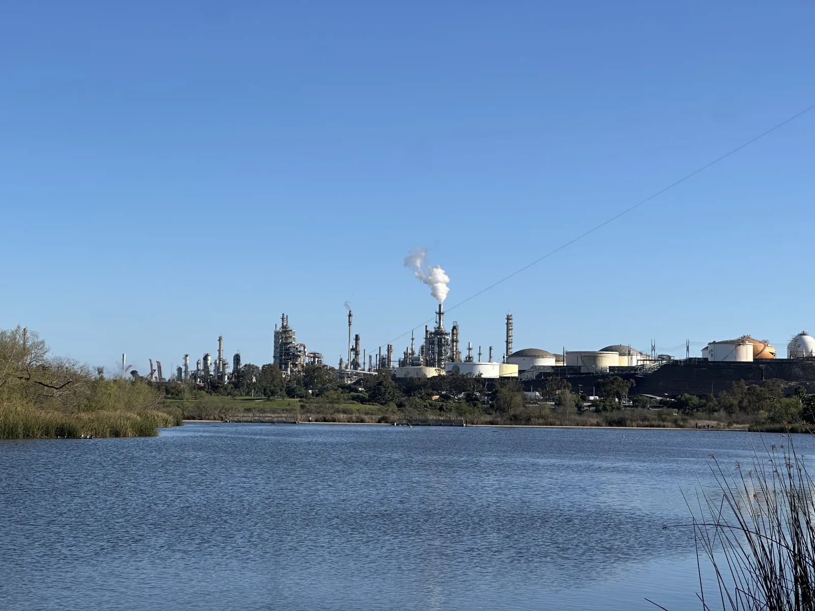
Machado Lake, in Ken Malloy Harbor Regional Park, is at the other end of the city, near the harbor. On March 8, 2025, we walked there with Wangcai. Tall reeds line the lake, and across the water stand the tanks and stacks of a refinery, one of them sending up a white plume.
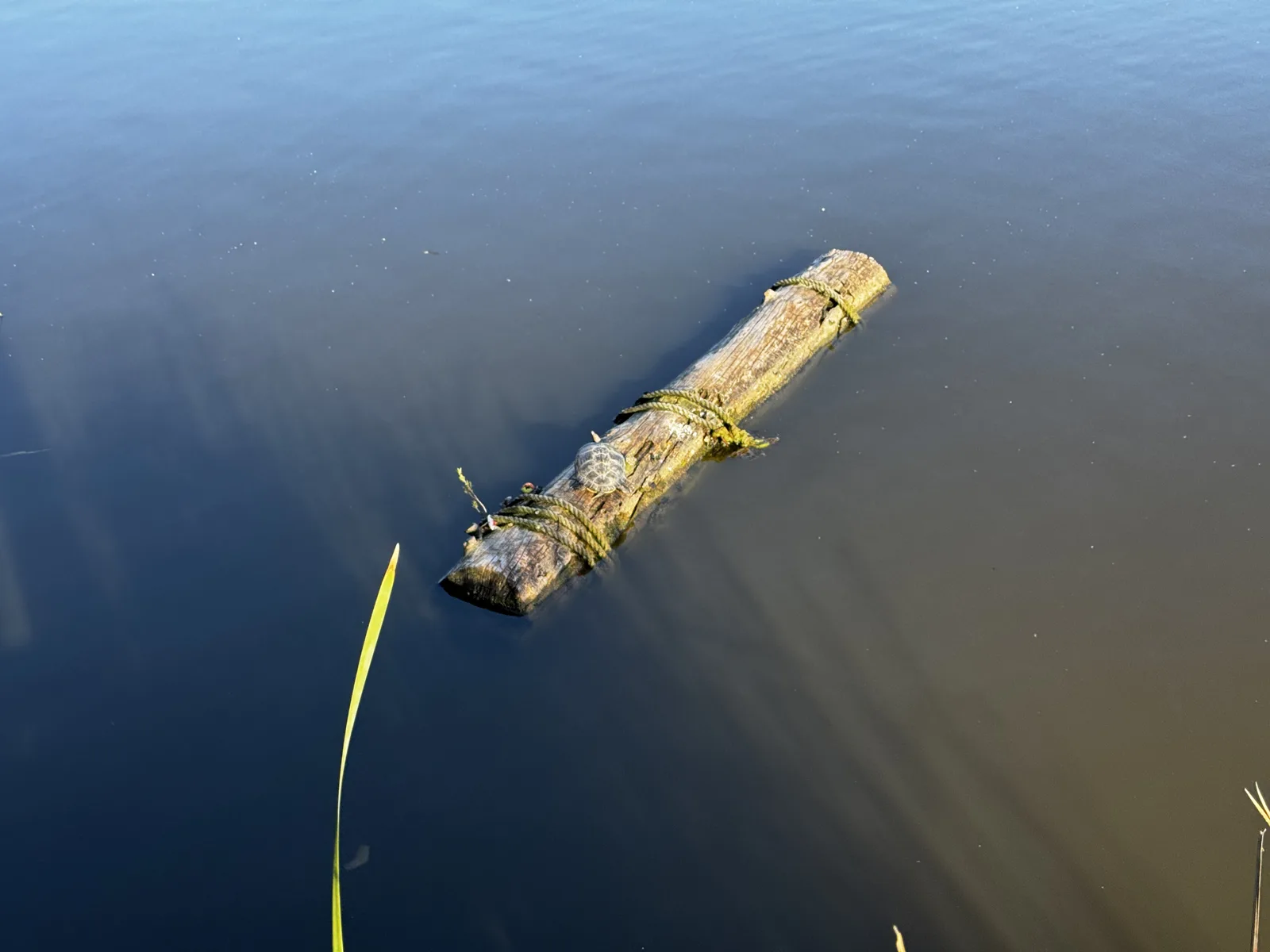
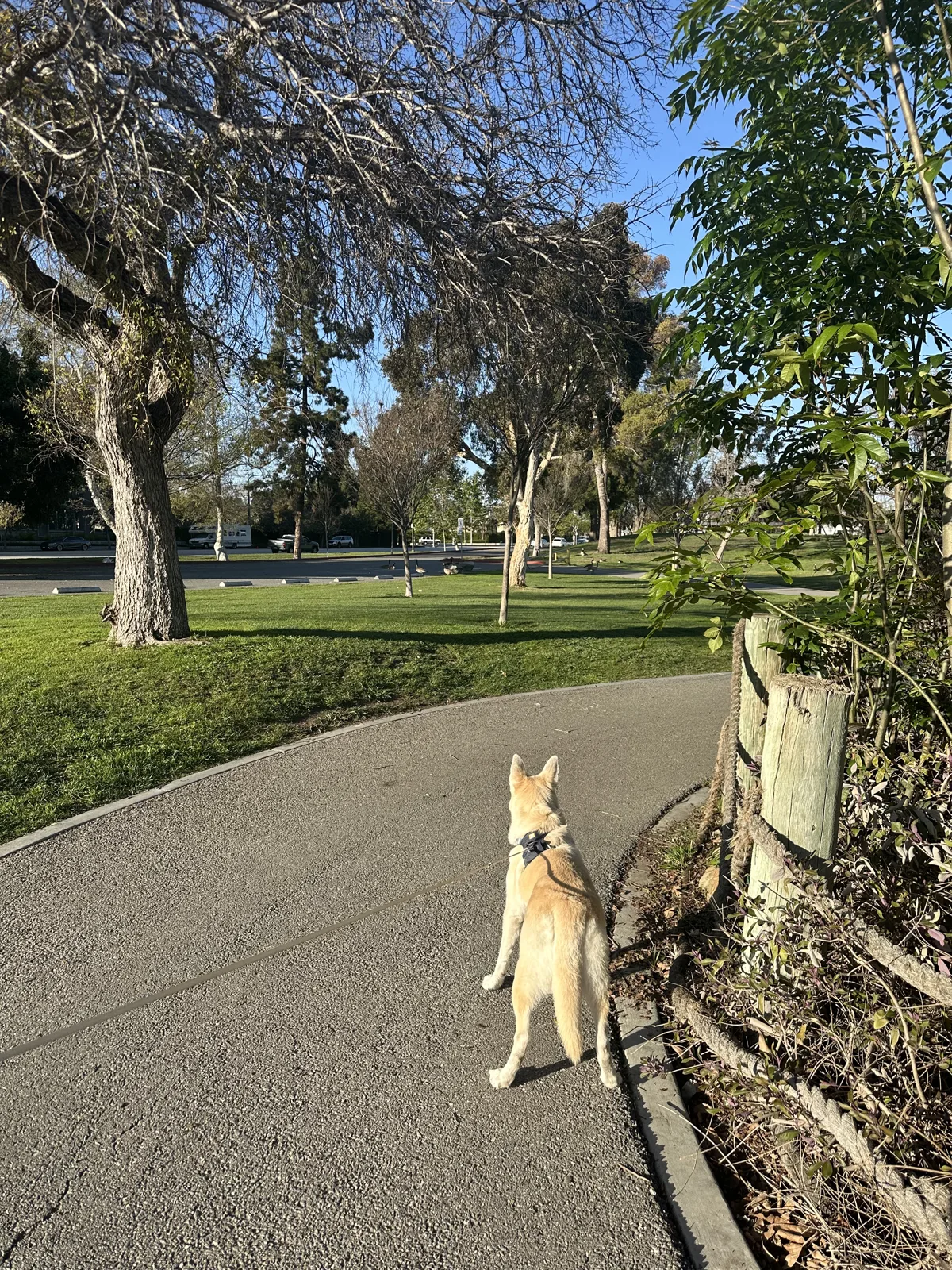
In the middle of the lake, at 4:19, a log was floating, wrapped in green strands. Five minutes later Wangcai was standing on the paved path under the trees.
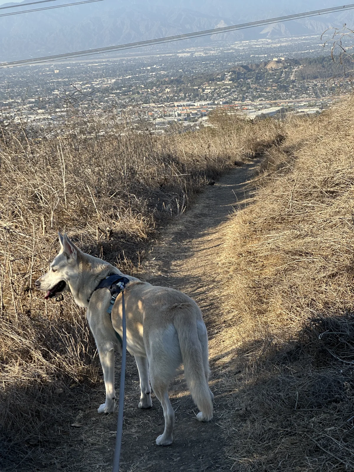
The last outing here is from October 12, 2025: a hilltop trail in the Puente Hills, on the east side of the basin, with Wangcai. The grass was dry and gold, and at 5:07 the trail ran along the top of the hill with the city spread out below in the evening haze.
Nineteen outings over four years, none of them more than a few hours. The 2022 photos are mostly hikes; the later ones are mostly walks, and from 2025 on, most of them include Wangcai.
Map built from the photos' timestamps and locations. Photo locations have been removed from the published images. Map data © OpenStreetMap contributors; each place is marked where its photos were taken, and homes are never marked.
Some photos in this post are my wife's.
Likes and comments
React with an emoji or leave a comment. Signing in with GitHub is required.