← Misc · January 2025
Bringing Wangcai Home
A short break after the SIGGRAPH deadline in the Northeast, and the trip where we got our dog.
Los Angeles → Boston → Portsmouth, New Hampshire → Portland, Maine → Boston → Los Angeles
three New England states in one snowy weekend · one rental car with a dog in the back · one harbor at night, one at sunset · one Boston evening on foot · one dog named Muffin, then WONHTSAI, now Wangcai
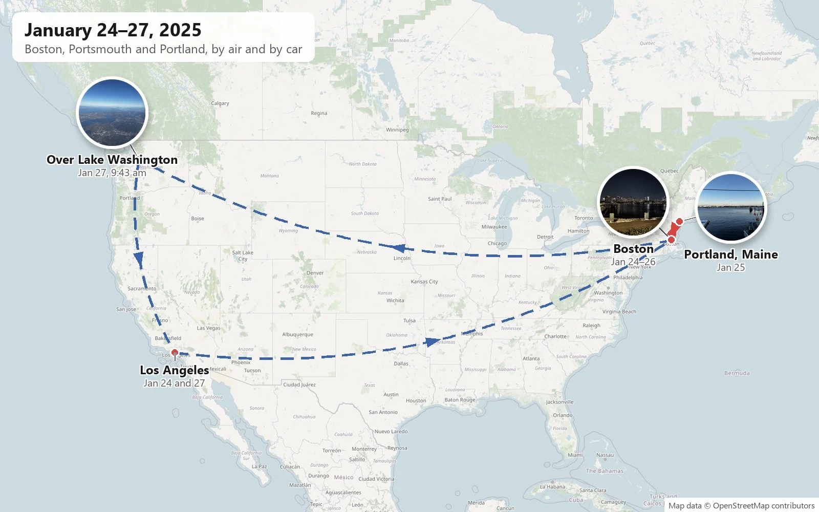
Every January, a lot of graphics researchers spend the weeks before the SIGGRAPH paper deadline living on coffee and compile errors, and then, the moment the submission goes through, go a little blank. This trip came right after one of those deadlines. On paper it was just a long weekend in New England: a flight to Boston, a drive up the coast to Portsmouth and Portland, Maine, an evening walk through Back Bay, and a flight home. But the reason I went to Boston in the coldest week of the year has four legs and a cream-colored coat, and she is asleep on the couch as I write this.
As with the other trip posts here, everything below is rebuilt from the camera roll: where each photo was taken, and when. My own album was a small one, about fifty pictures, and it has some long silences in it. My wife's photos fill some of them; where both are silent, I've left the gap rather than fill it in.
First, Muffin
The story starts a month earlier, in December 2024. A rescue post came across our screens about a shelter dog called Muffin, a cream, German-Shepherd-looking girl named for her oat-colored coat. The shelter was full and she was due to be euthanized. There was a way out: an adopter in Boston wanted her, but she needed somewhere to stay in the meantime, and if no one could take her she would be put down within days.
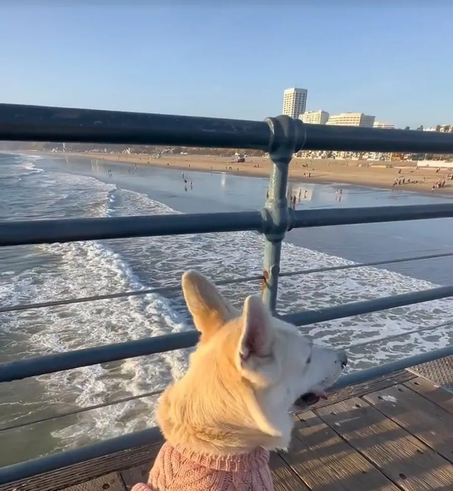
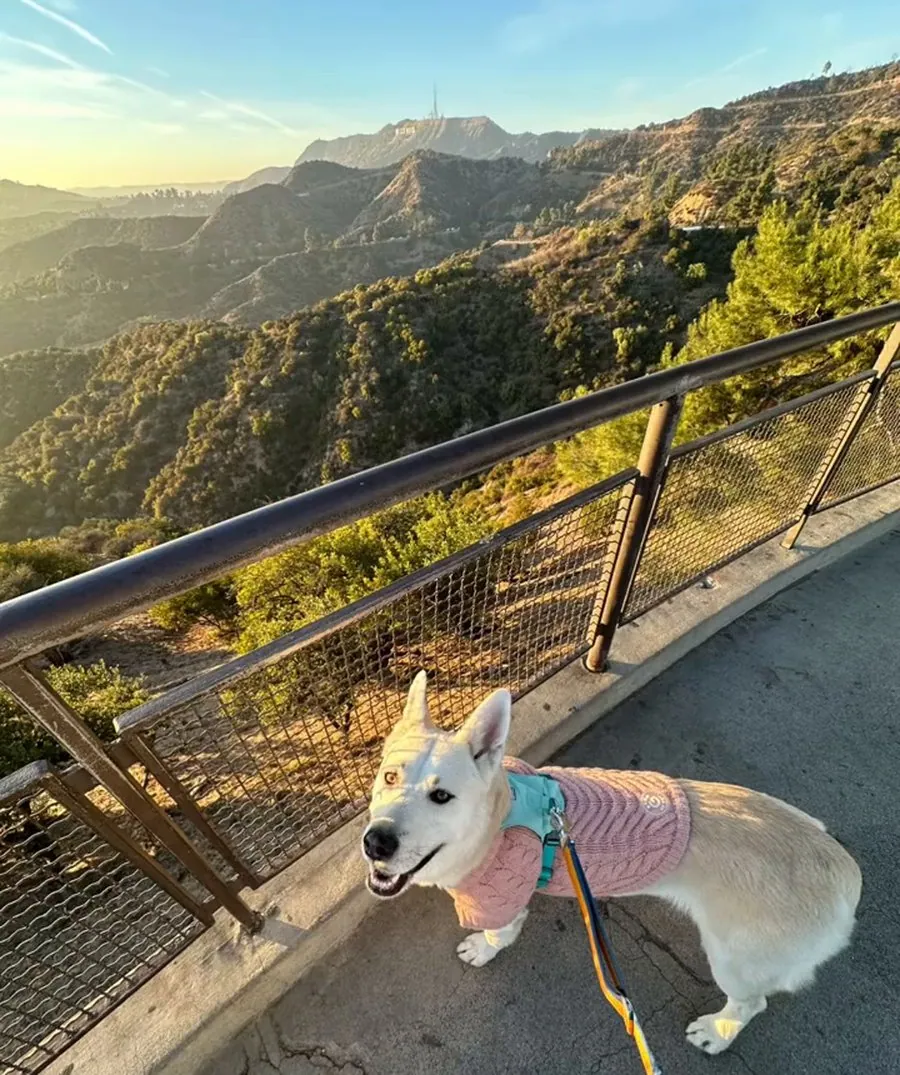
So we took her home as a foster. It was supposed to be about a week, since she already had a family waiting. It was a good week. She ate her first meal in our home, discovered the little cups of whipped cream that coffee shops hand to dogs and decided they were the best thing in Los Angeles, wore a pink sweater, saw the ocean for the first time at the beach, and watched a sunset from a hilltop in the Hollywood Hills.
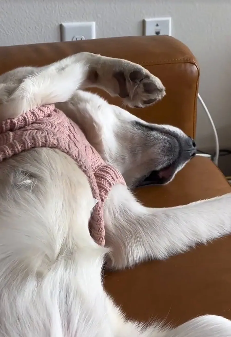
Within days she was sleeping belly-up on the couch, which in dog terms is a signed lease. Then the week was over. The last photo of her in LA shows her in a travel crate in the car, surrounded by all her toys. She was the first dog we had ever raised.
She arrived in a snowy Boston, and for a while that was the end of the story. Then it wasn't. Her new home didn't work out, and by January she was at the MSPCA's shelter in Boston, up for adoption again. Her listing on Adopt-a-Pet opened with "My name is WONHTSAI!", which, read aloud, is very nearly Wangcai (旺财), the most classic name a Chinese family can give a dog. It means, roughly, "prosperous fortune". We took that as a sign.
The trouble was that I was in Los Angeles, rushing to finish a SIGGRAPH paper, and that deadline does not move for anyone. So my wife flew to Boston about a week ahead of me and took Wangcai out of the shelter, and the two of them spent that week in Boston on their own while I finished the deadline in LA. The moment the paper was in, I booked a flight to Boston.
My wife picked her up from the MSPCA in Jamaica Plain on Friday, January 17th, a little after one in the afternoon. The first minutes of her new life were spent in the back seat of a car, on a layer of puppy pads, with a plush donut.
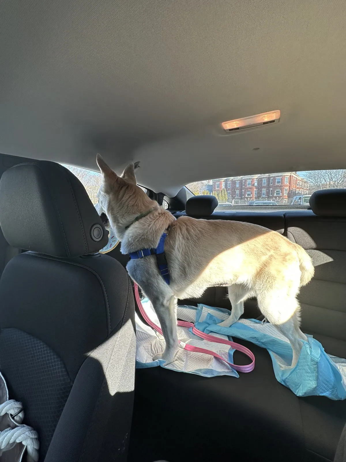
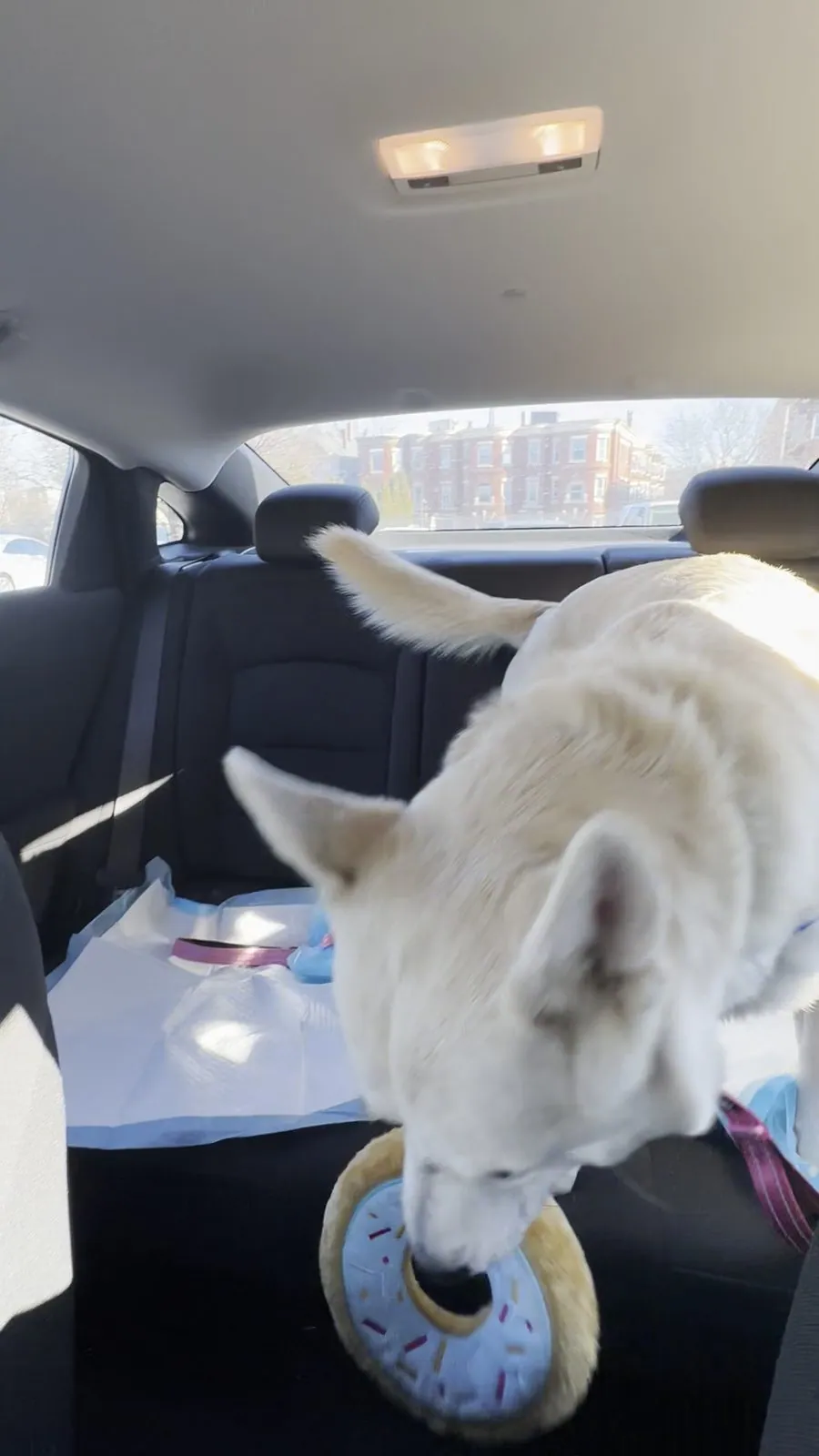
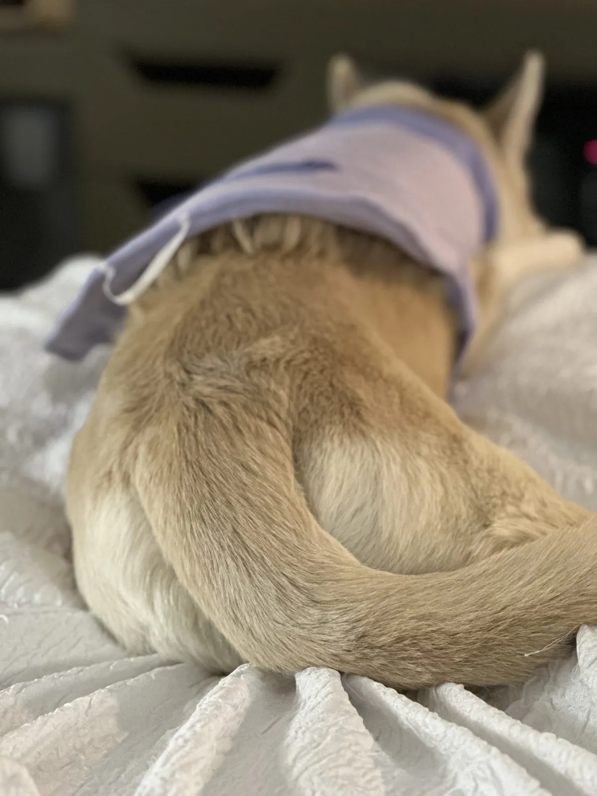
By that evening she was sitting on the bed in a lavender sweater.
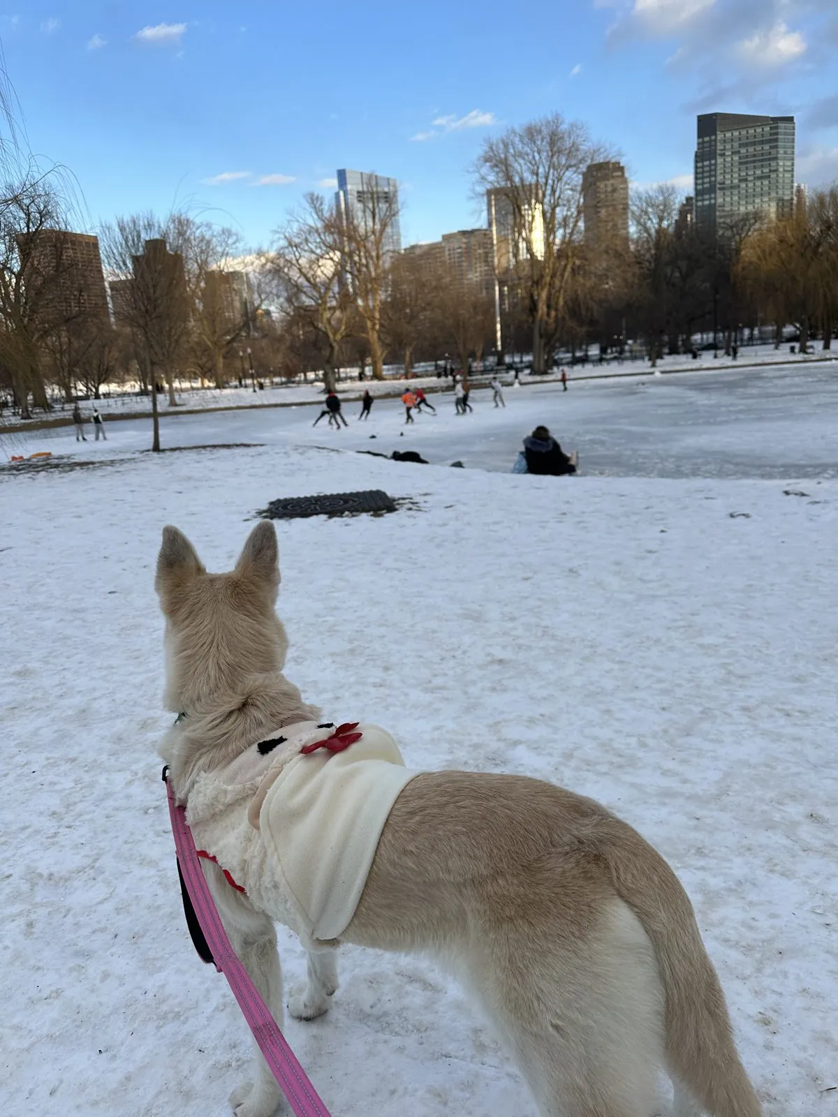
Friday: Boston by night
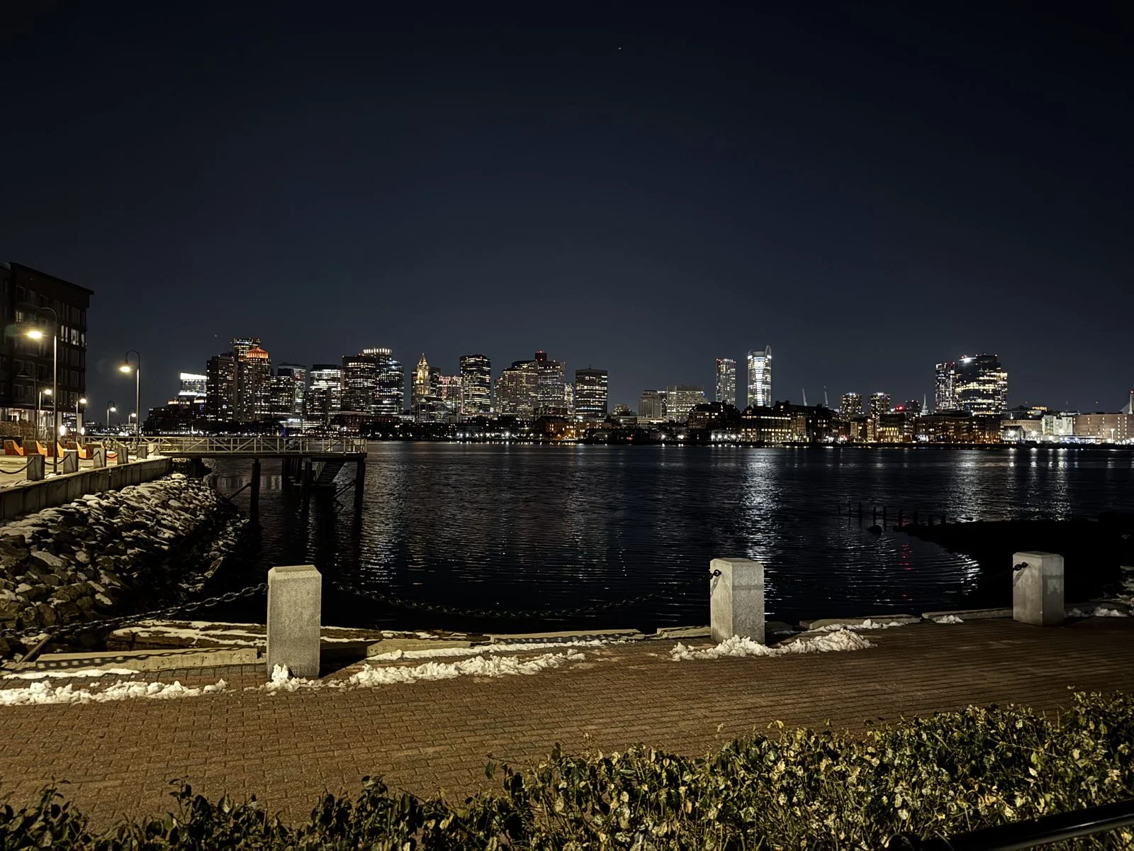
I flew out of LAX around lunchtime on Friday, January 24th, and by evening the moving map had me over southern Wisconsin. A little before ten that night we were standing on the East Boston waterfront, in snow. East Boston is the part of the city that sits across the harbor, next to the airport, and from its piers you get the downtown skyline the way the postcards do: the whole Financial District lit up and doubled in the black water of the Inner Harbor, with the pointed clock tower of the Custom House among the glass. The paths were edged with old snow, the granite bollards had little caps of it, and the harbor was flat and still.
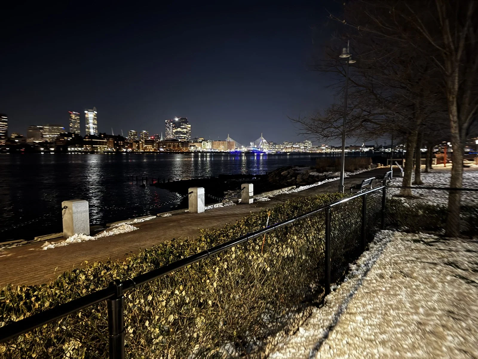
Turn a little to the left and the view runs up the harbor toward Charlestown, where the white cables of the Zakim Bridge fan out from their towers like the strings of a harp. It opened in 2003 as part of the Big Dig, Boston's famously long and famously expensive project to bury the elevated highway that used to cut the city off from its waterfront. At night it is lit blue, and from across the harbor it looks like a ship's rigging standing on the water. After a day on a plane, it was a good first look at a city we were about to get to know a little. That night we stayed at a Hampton Inn & Suites in Boston.
Saturday: up the coast
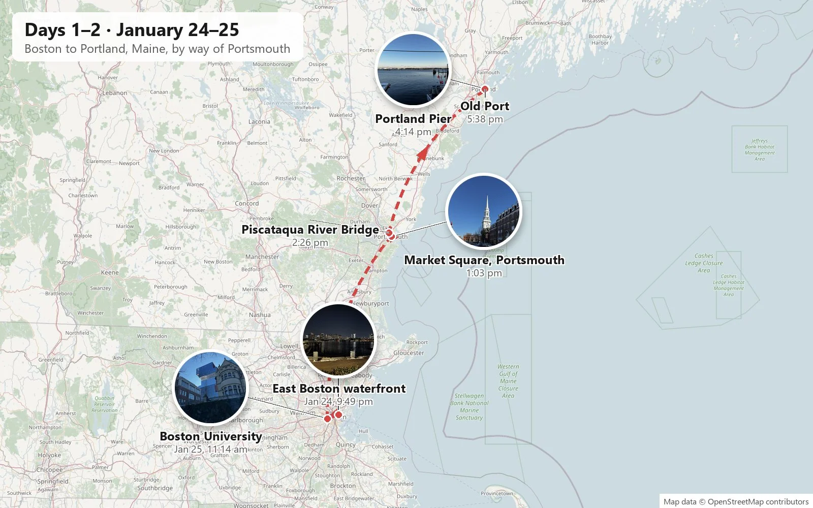
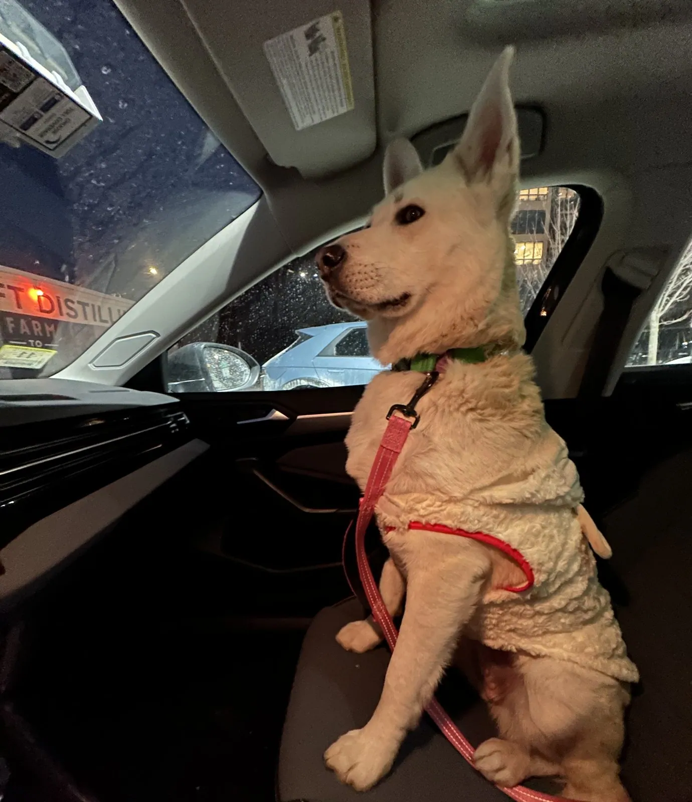
Saturday was the big day on the road: a loop through Boston's university district in the late morning, then an hour north on I-95 to New Hampshire, across the river into Maine, and up the coast to Portland in time for sunset. The sky stayed a hard, cloudless blue the whole way, the kind of blue you only get on very cold days, and the snow that had fallen earlier in the week was still piled everywhere. We had rented a car, and Wangcai came along for the whole loop, riding in the back, or, when she could get away with it, in the front.
Commonwealth Avenue
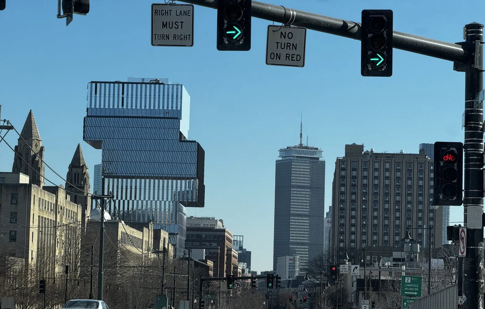
At eleven we were driving along Commonwealth Avenue through Boston University, where the Green Line trolleys run down the middle of the road and the campus is strung out along it for over a mile. Two towers own the view. One is the Prudential Tower, Back Bay's tall gray landmark since the 1960s. The other is new and very hard to miss: BU's Center for Computing & Data Sciences, opened in 2022, a stack of glass boxes set slightly off-center from one another, so the whole building looks like a game of Jenga halfway through. That is in fact its nickname. It is also designed to run without fossil fuels, heated and cooled by geothermal wells drilled deep under the sidewalk.
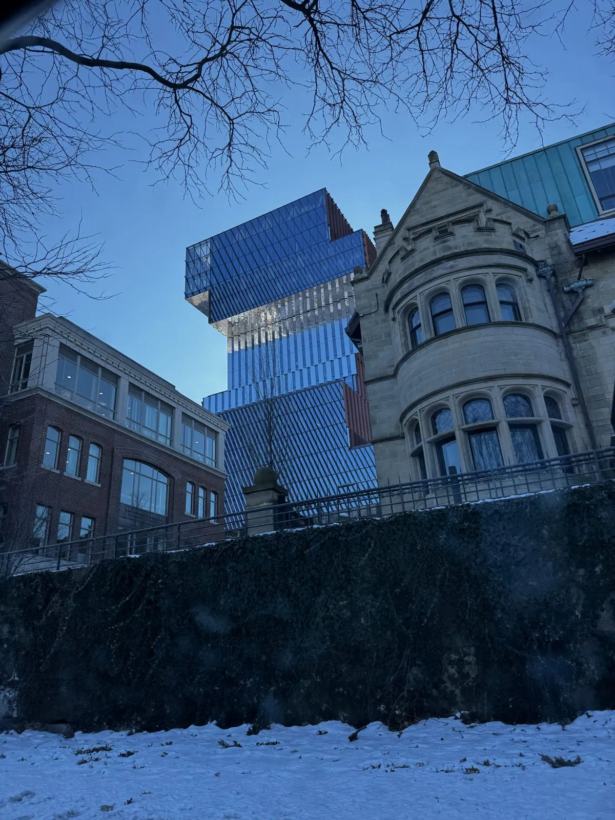
Around the corner on Bay State Road, the same tower rises right behind a Victorian stone mansion with rounded bay windows and a steep slate gable, the kind of house that lines this street by the dozen and that BU has long since absorbed as dorms and offices. Seen from the snowbank below, the two buildings look like they are having an argument about what Boston should look like, from more than a century apart.
Portsmouth
By one o'clock we were in Portsmouth, New Hampshire. New Hampshire has only about eighteen miles of coastline, and Portsmouth makes the most of them. It was settled in 1623, which makes it one of the oldest towns in the country, and its center still feels like a seaport that got rich in the age of sail and then simply stayed put. Market Square is the heart of it: rows of red-brick shopfronts with dormer windows, cast-iron lamp posts, and the tall white steeple of North Church, which has been the town's landmark since the 1850s and shows up in almost every picture of the place, including ours. We warmed up with coffee and pastries off the square.
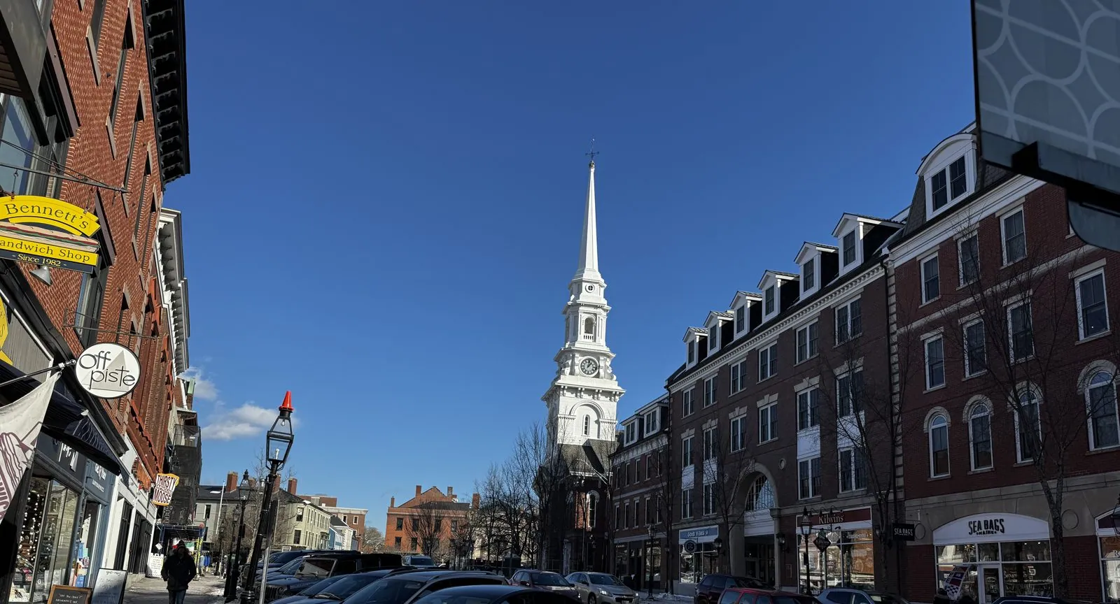
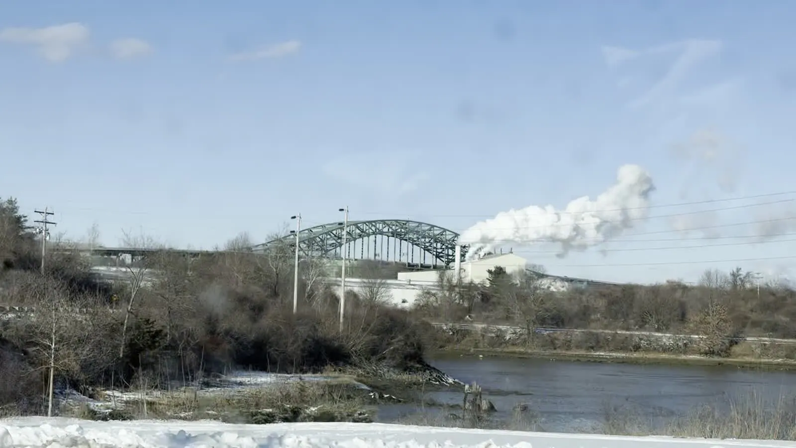
The square was bright and sharp-shadowed, with snow shoveled into heaps at the curbs. A little after two we were at the north end of town, by the Piscataqua River, which is the border between New Hampshire and Maine. It is a short, wide tidal river with one of the strongest currents on the East Coast. On its bank the snow lay thick and unbroken, a plume of white steam rose from the riverside industry, and beyond it stood the green steel arch of the Piscataqua River Bridge, which carries I-95 into Maine.
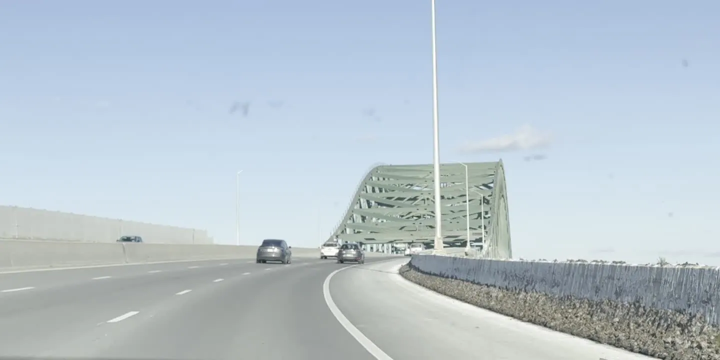
A minute later we were on it. The bridge opened in 1972, and from the driver's seat it is mostly a green lattice of girders sweeping overhead, and then you are in Kittery, Maine. Three states before three o'clock.
Portland at sunset
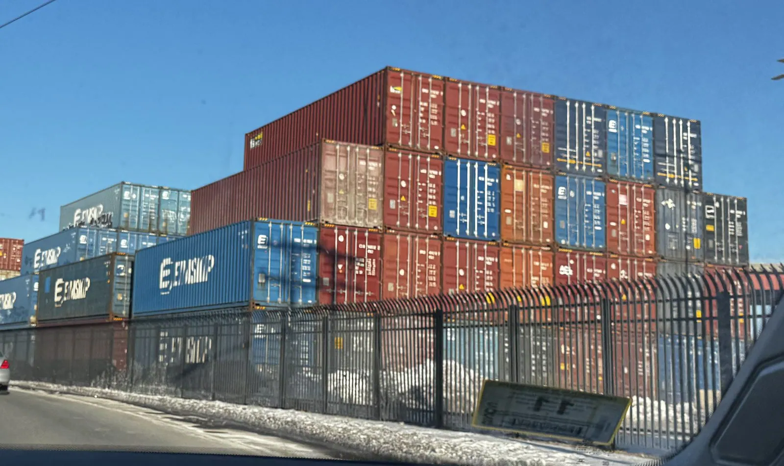
Portland, Maine announced itself the way port cities do, from the back: a wall of shipping containers stacked five high behind a fence on the edge of town, red and blue and rust-brown, many of them stenciled Eimskip. That is the Icelandic shipping line, which since 2013 has made Portland its American port of call, so a fair amount of what travels between the United States and Iceland passes through this fence line.
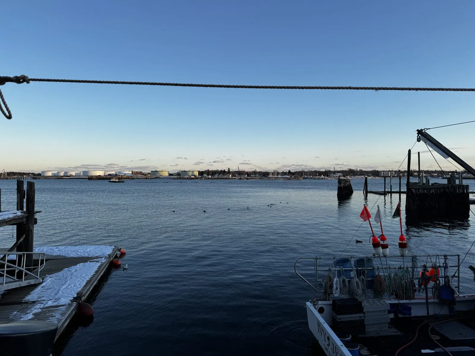
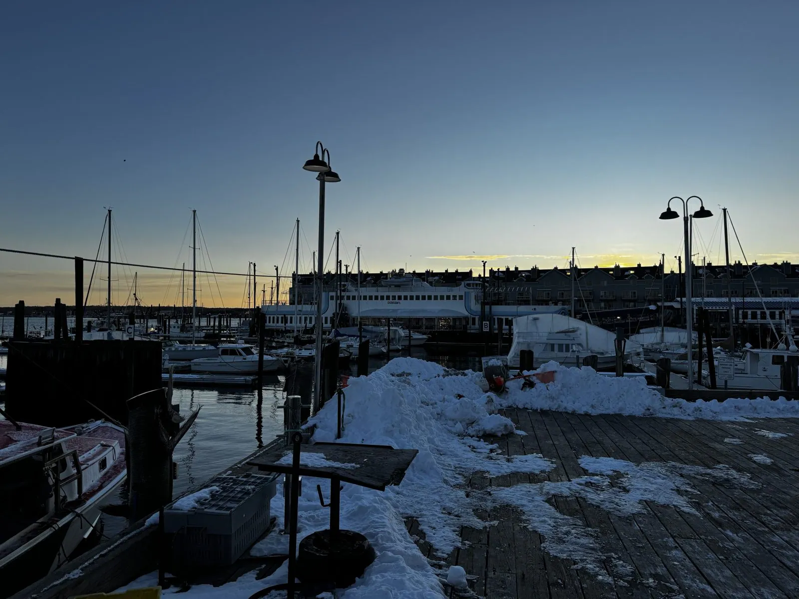
By four we were on the waterfront, and the light was going gold. Portland Pier is a working pier, not a pretty one, which is what makes it pretty. Fishing boats were tied up below, decks crowded with coiled line, plastic crates and stacks of red-and-white buoys on poles. A heavy rope hung across the view. Out on the water, a scatter of birds rode the swell, and across Casco Bay the white oil tanks of South Portland caught the last of the sun. Behind us, the wooden decking was buried under drifts of snow that nobody had bothered to shovel.
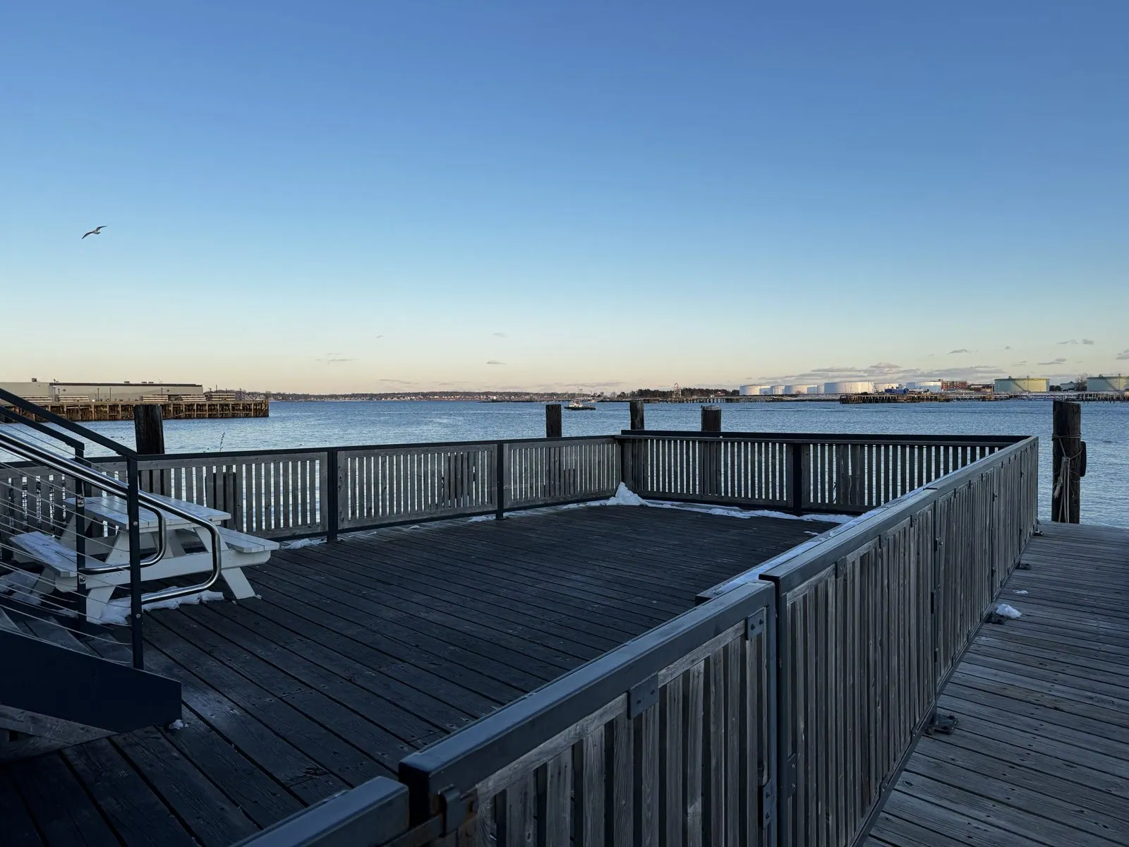
Next door is Custom House Wharf, named after the granite custom house a block inland, a reminder of the days when Portland was one of the busiest ports in New England. Its far end is an empty wooden deck with a few snowed-in picnic tables, a railing, and nothing between you and the bay. A gull went over while we stood there. The sky was clear, pale blue fading to peach at the horizon, and the water had gone the steely blue it turns just before dark. It was the prettiest quarter of an hour of the trip.
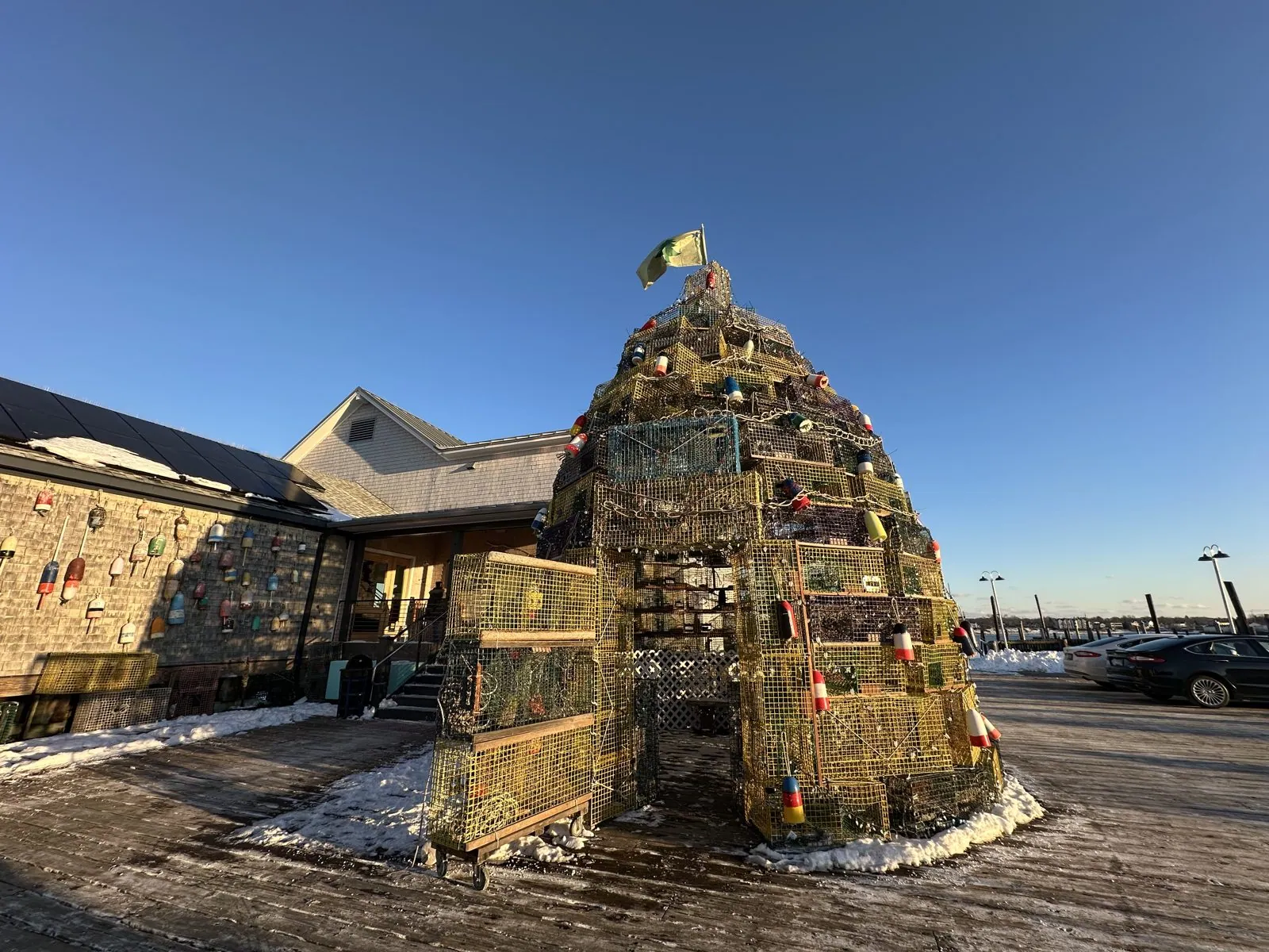
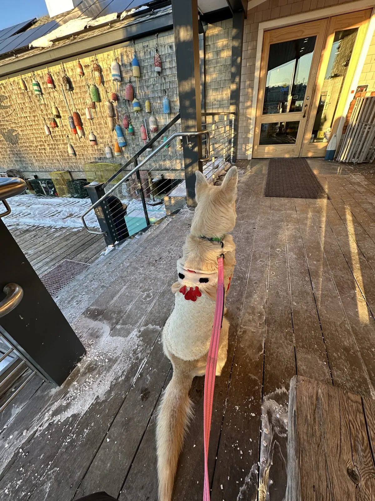
Nearby, someone had built a Christmas tree out of lobster traps, stacked in a cone taller than the door beside it and still standing a month after Christmas. Wangcai sat on the snowy deck next to it, facing a wall hung with buoys.
The Old Port, and the white strawberries
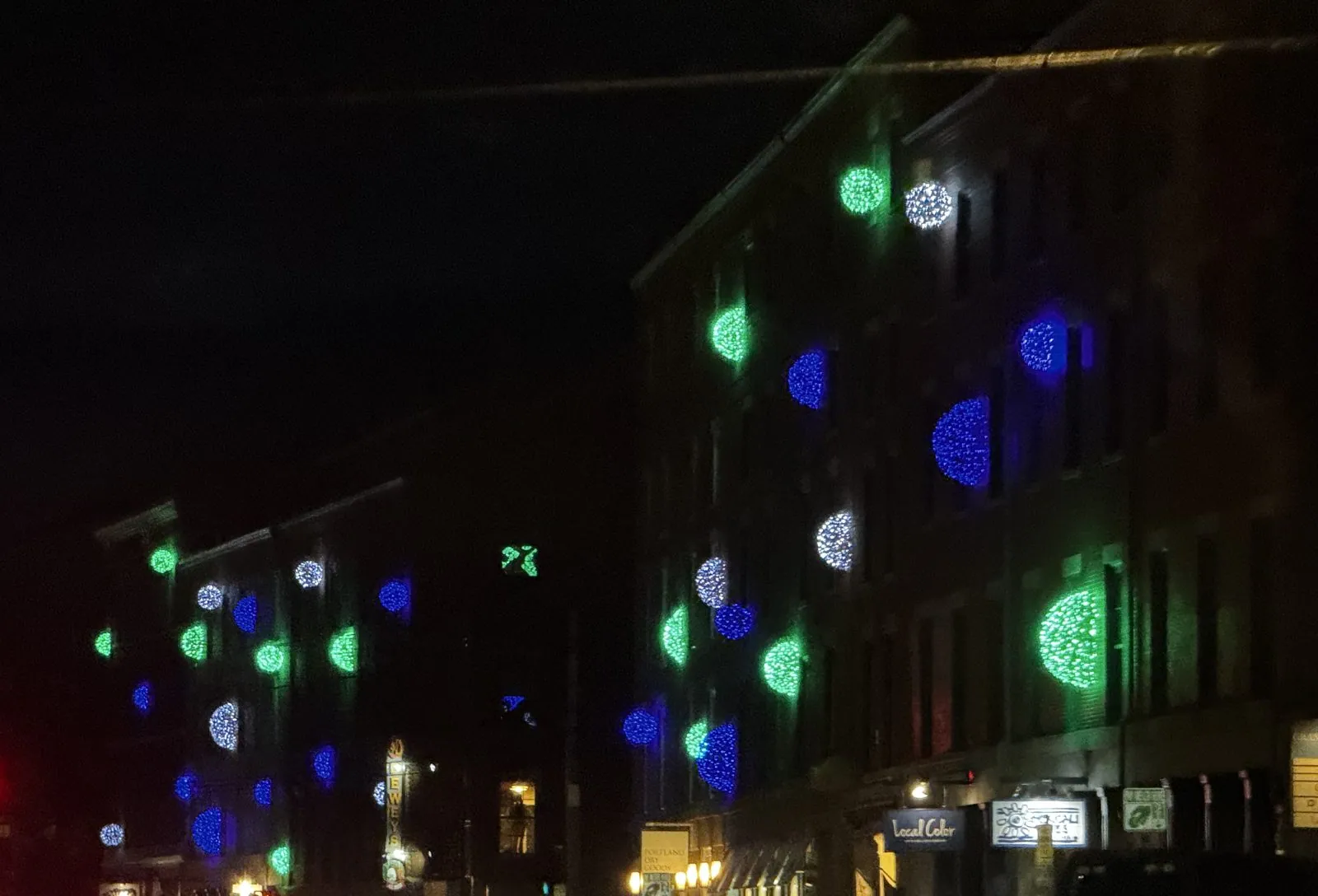
After dark the waterfront turns into the Old Port, Portland's old warehouse district. Most of it dates from just after the Great Fire of 1866, which started on the Fourth of July and burned out a third of the city; Portland rebuilt in brick and granite, and those four-story Victorian blocks are what line Fore and Commercial Streets today. That night their façades were hung with big glowing globes of green, blue and white lights, left up from the holidays, and the red of traffic lights and taillights streaked through the photos, which were all taken from a moving car.
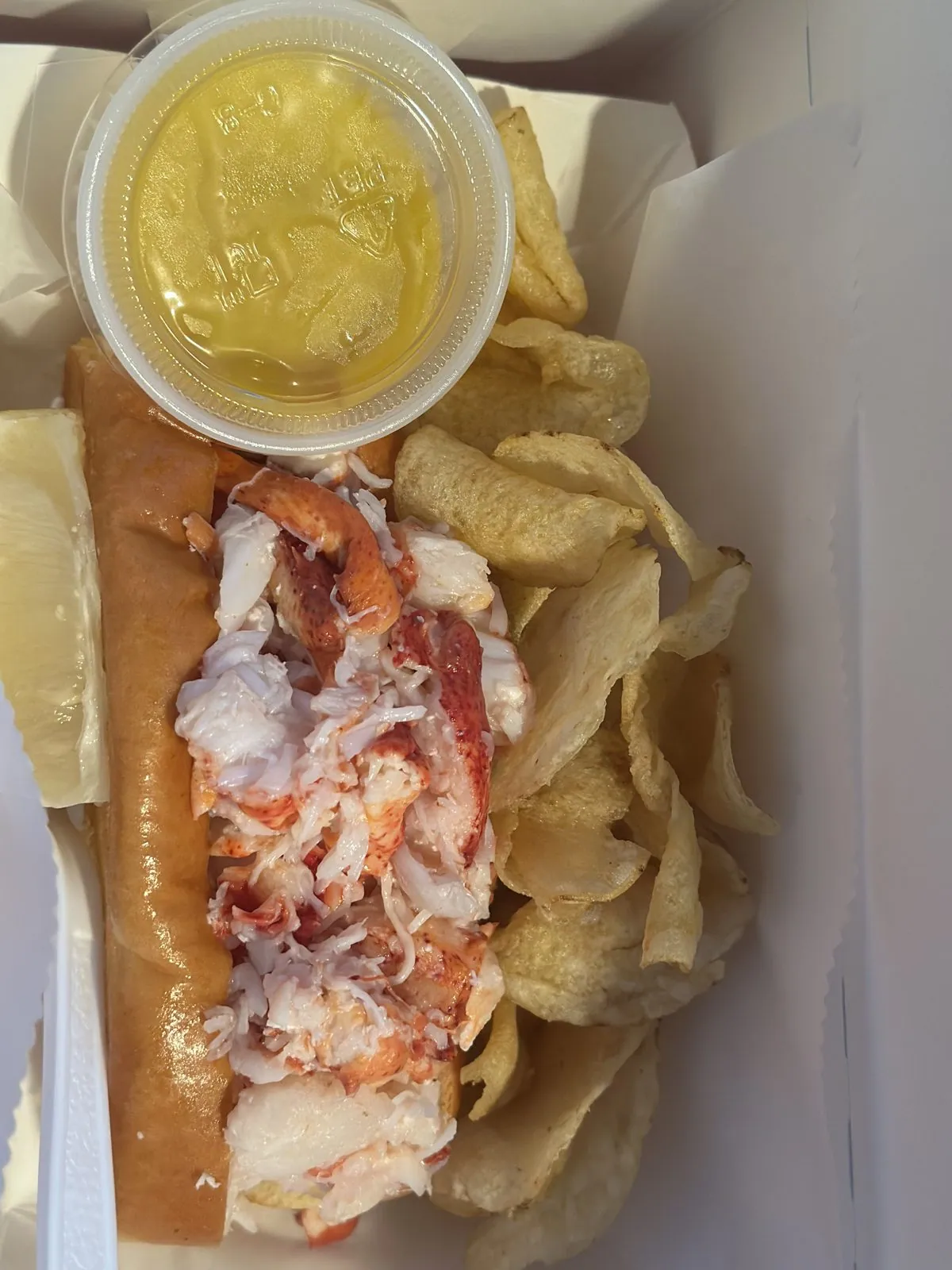
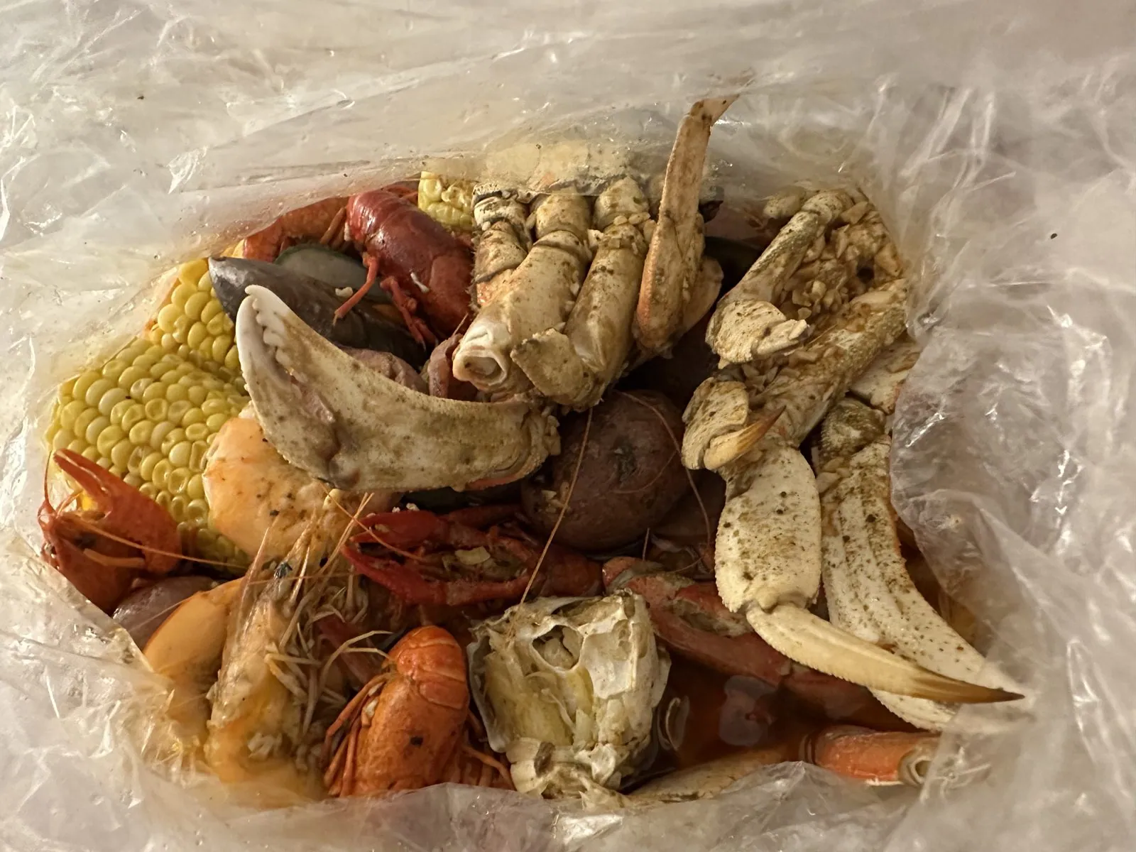
In Portland there were lobster rolls, eaten in the car, and dinner was a seafood boil straight from the bag, with a dozen oysters on the side.
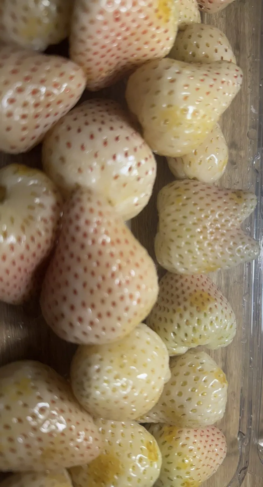
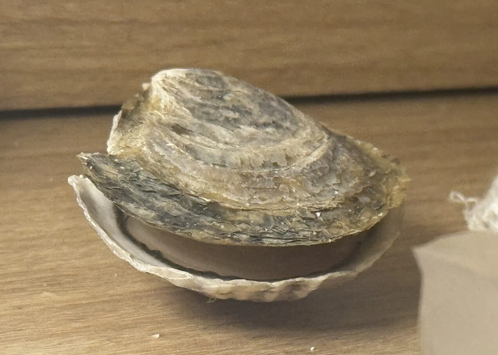
Somewhere along the way we had also acquired a clamshell of white strawberries, and that evening they were photographed from every possible angle, with the seriousness normally reserved for cathedrals. White strawberries are not unripe red ones; they are varieties bred to stay pale, and the giveaway that they are ready is the blush on the skin and the red of the seeds. One berry, shaped exactly like a molar, got its own portrait session after midnight, back at the Hilton Garden Inn by the Portland airport. A single oyster got the same treatment.
Sunday: Back Bay and the Charles
Sunday morning we stayed in Portland long enough for a seafood lunch: uni and a tray of sashimi from ISF Trading, a sea urchin processor on Hobson's Wharf, eaten in the car outside.
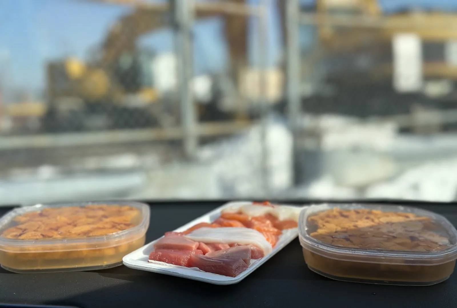
Then a fried-fish sandwich and one more lobster roll, and a donut for the road.
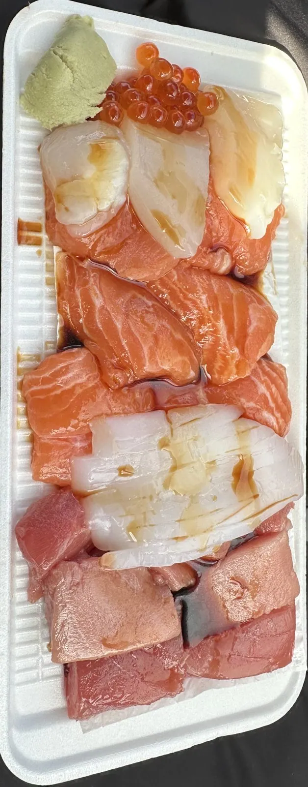
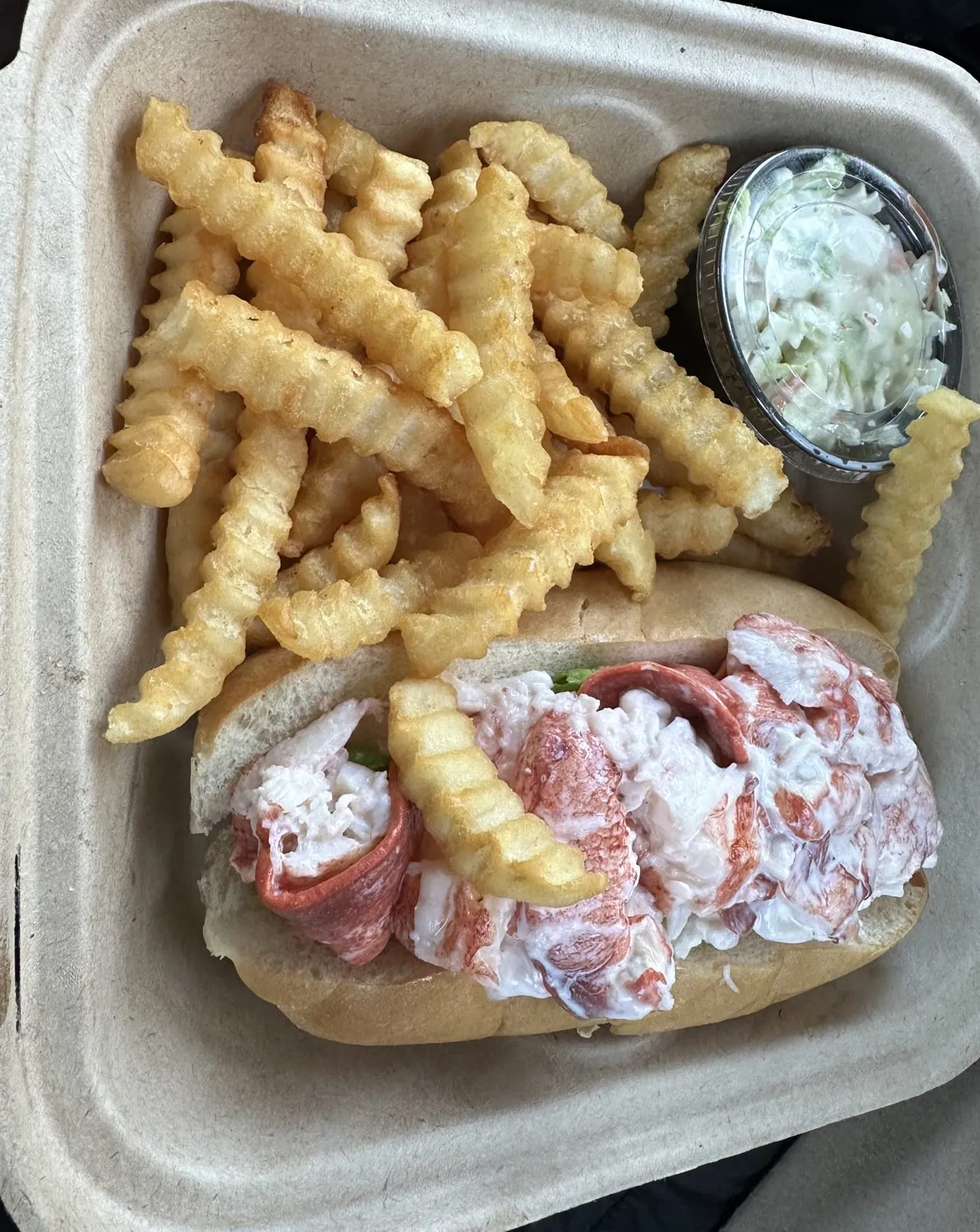
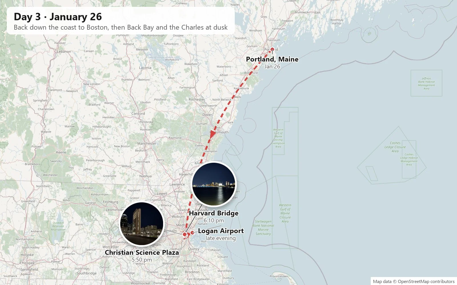
Then came the drive back down the coast to Boston, with Wangcai in the back seat again, and the afternoon left no photos at all. By a quarter to six it was dark and we were in Boston, at Christian Science Plaza in Back Bay, one of the strangest and most impressive public spaces in the city.
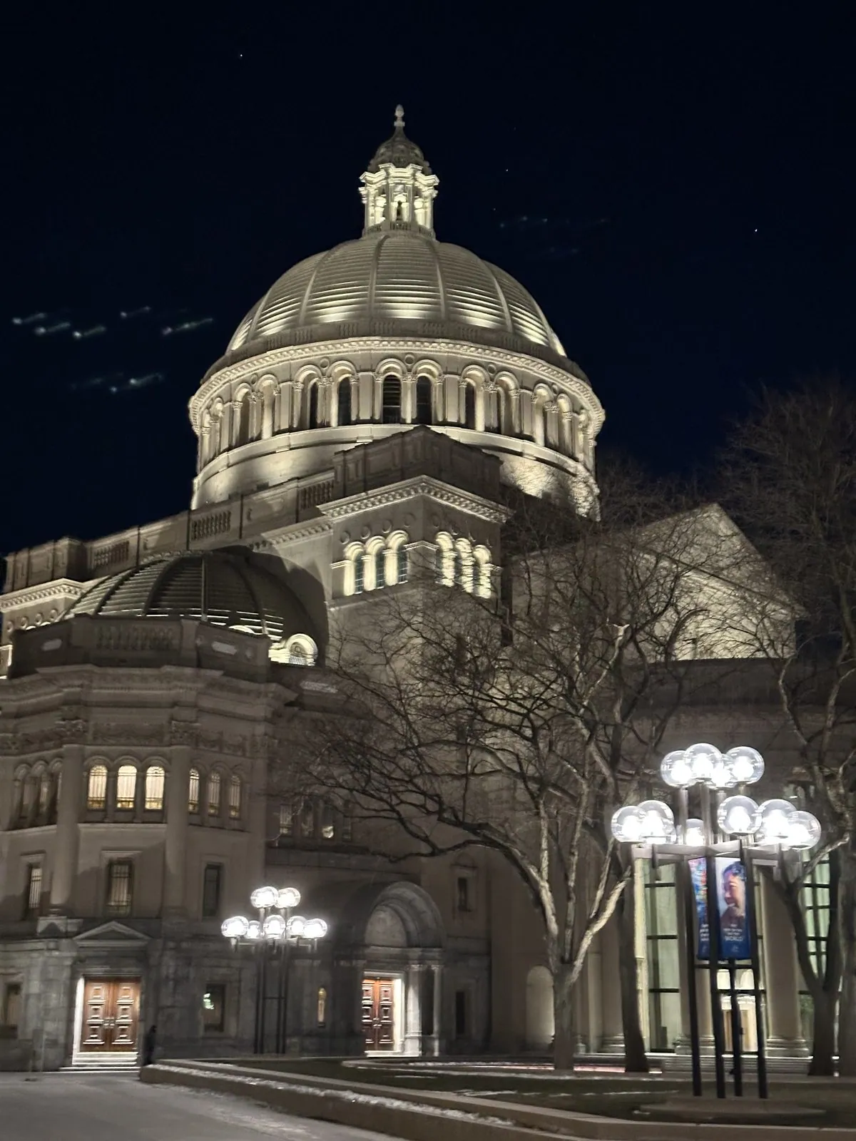
The plaza is two centuries jammed together. On one side is The Mother Church, the headquarters of the Christian Science movement: a small Romanesque church of rough granite from 1894, with a stained-glass rose window that glows like a jewel at night, joined to a much larger domed extension from 1906. On the other side is pure 1970s. In that decade I. M. Pei's firm, with Araldo Cossutta as lead designer, cleared the surrounding blocks and built a vast paved plaza around the church, with a tall, thin concrete Administration Building and a reflecting pool almost seven hundred feet long. Over the top of it all looms 111 Huntington Avenue, whose lit crown has earned it the nickname "the R2-D2 building".
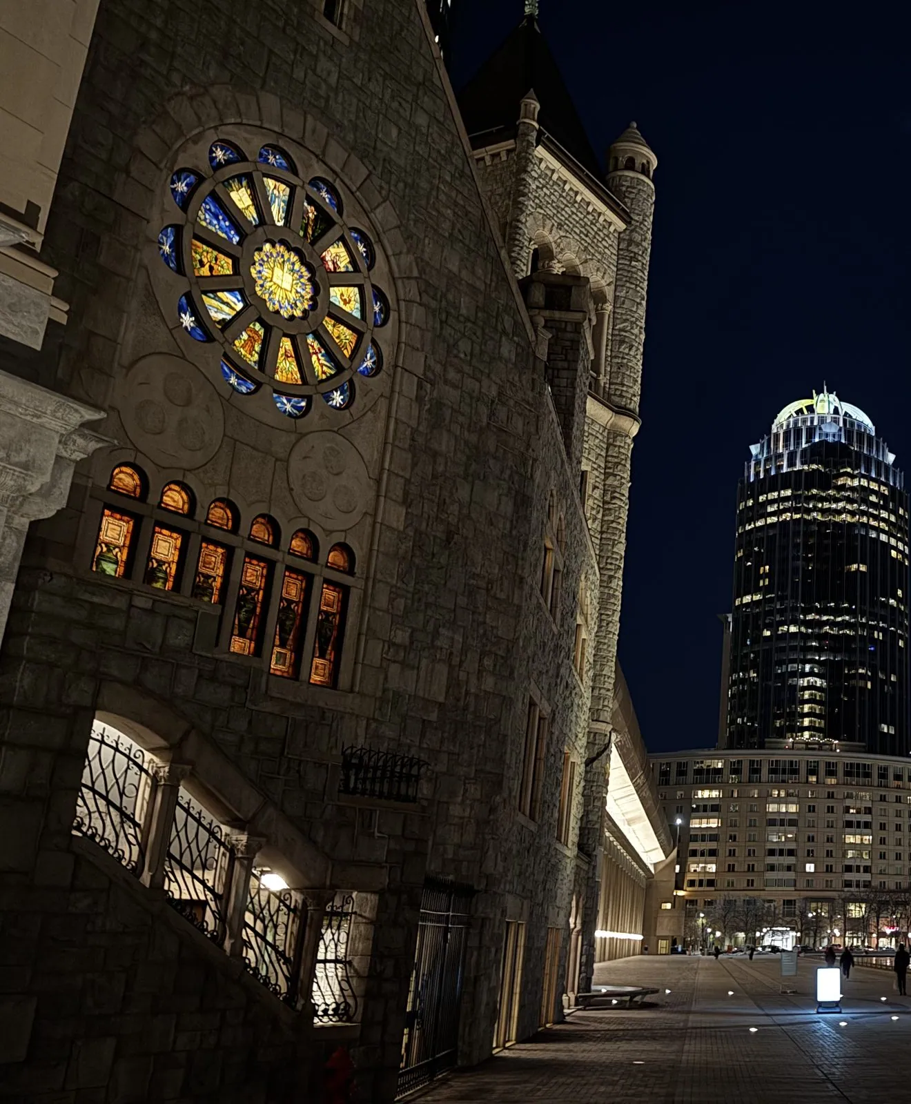
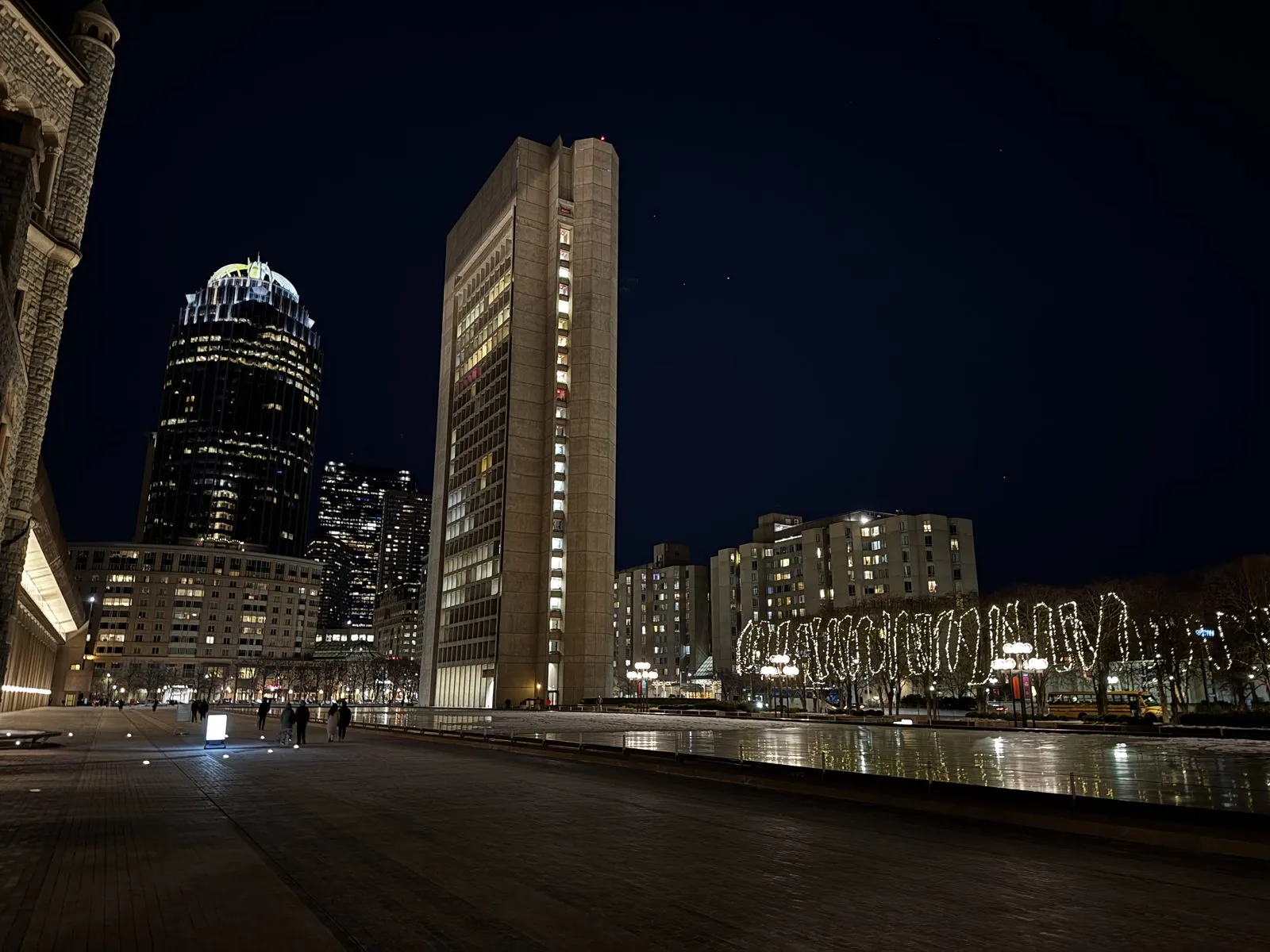
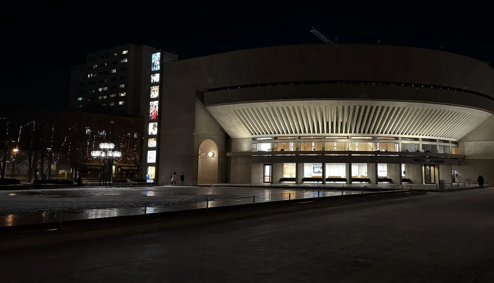
At blue hour in January, the whole thing is wonderfully theatrical. The pool was a sheet of reflected lights, the trees along it were wrapped trunk to tip in white bulbs, the concrete tower glowed from within, and the plaza was so big and so empty that the few people crossing it looked like extras on a set. At its far end sits the Sunday School building, a low drum of concrete with a fluted canopy curving over its glass front. Peeking around its edge is a red "BSO" sign: Symphony Hall, home of the Boston Symphony Orchestra, is just across the street.
The Harvard Bridge
From there we walked north up Massachusetts Avenue, and twenty minutes later we were out on the Harvard Bridge, which crosses the Charles River from Back Bay to MIT. It is the longest bridge over the Charles, and it is the most wind-swept place in Boston on a January night. It is also famous for the strangest unit of measurement in America. In 1958, MIT fraternity pledges measured its length using one of their own, Oliver Smoot, laying him down end to end over and over across the bridge. It came to 364.4 smoots, "plus or minus one ear", and the marks are still painted on the sidewalk and repainted every year. (Smoot, wonderfully, went on to become chairman of the American National Standards Institute.)
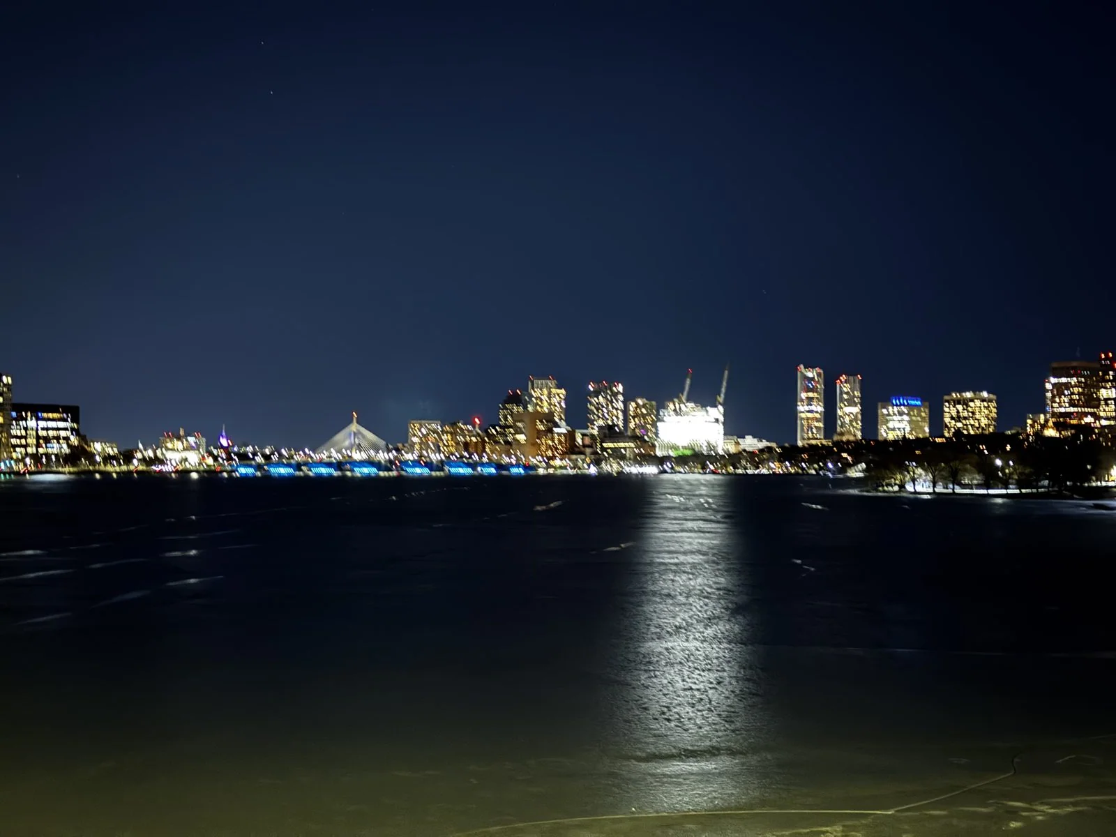
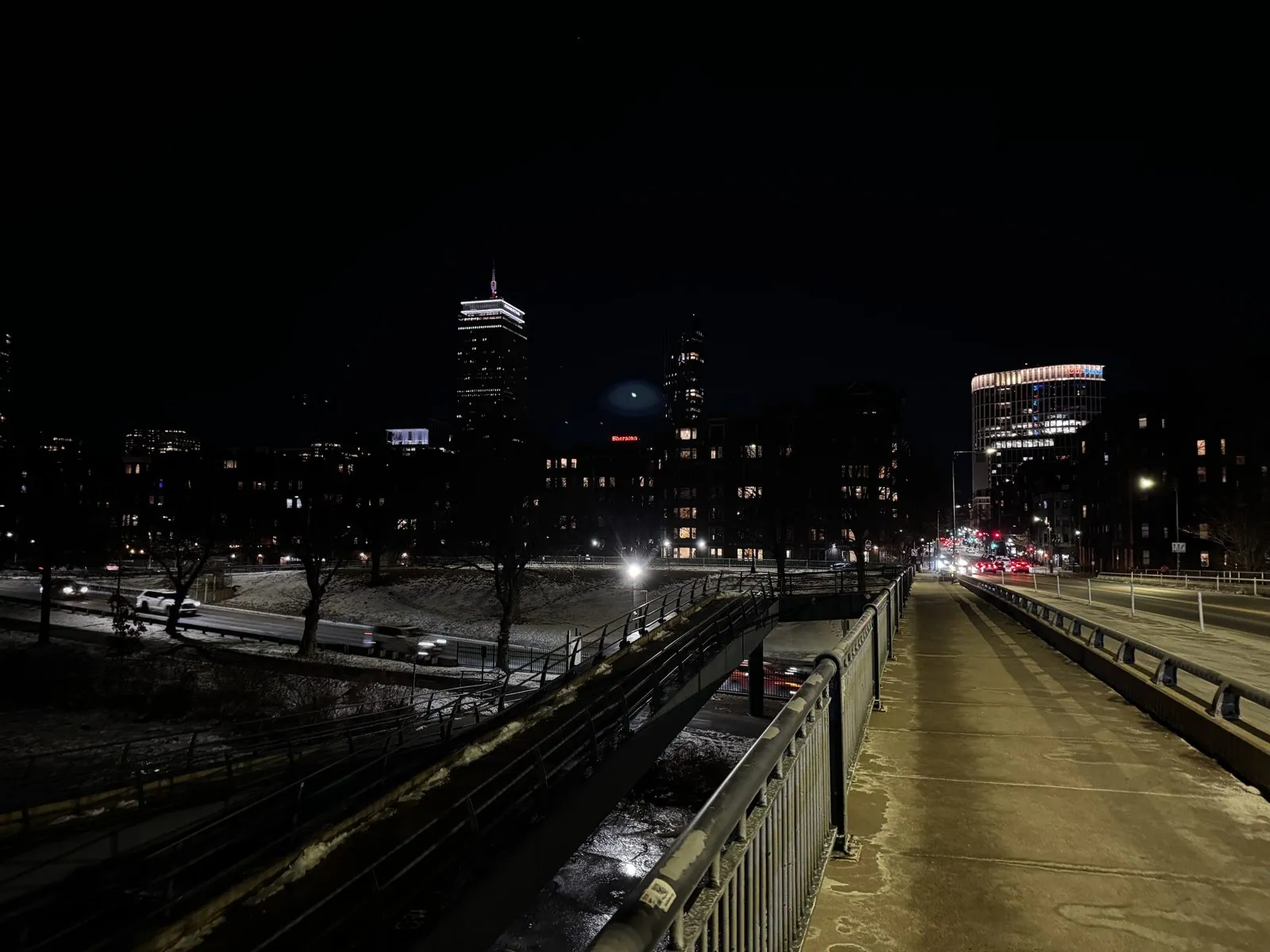
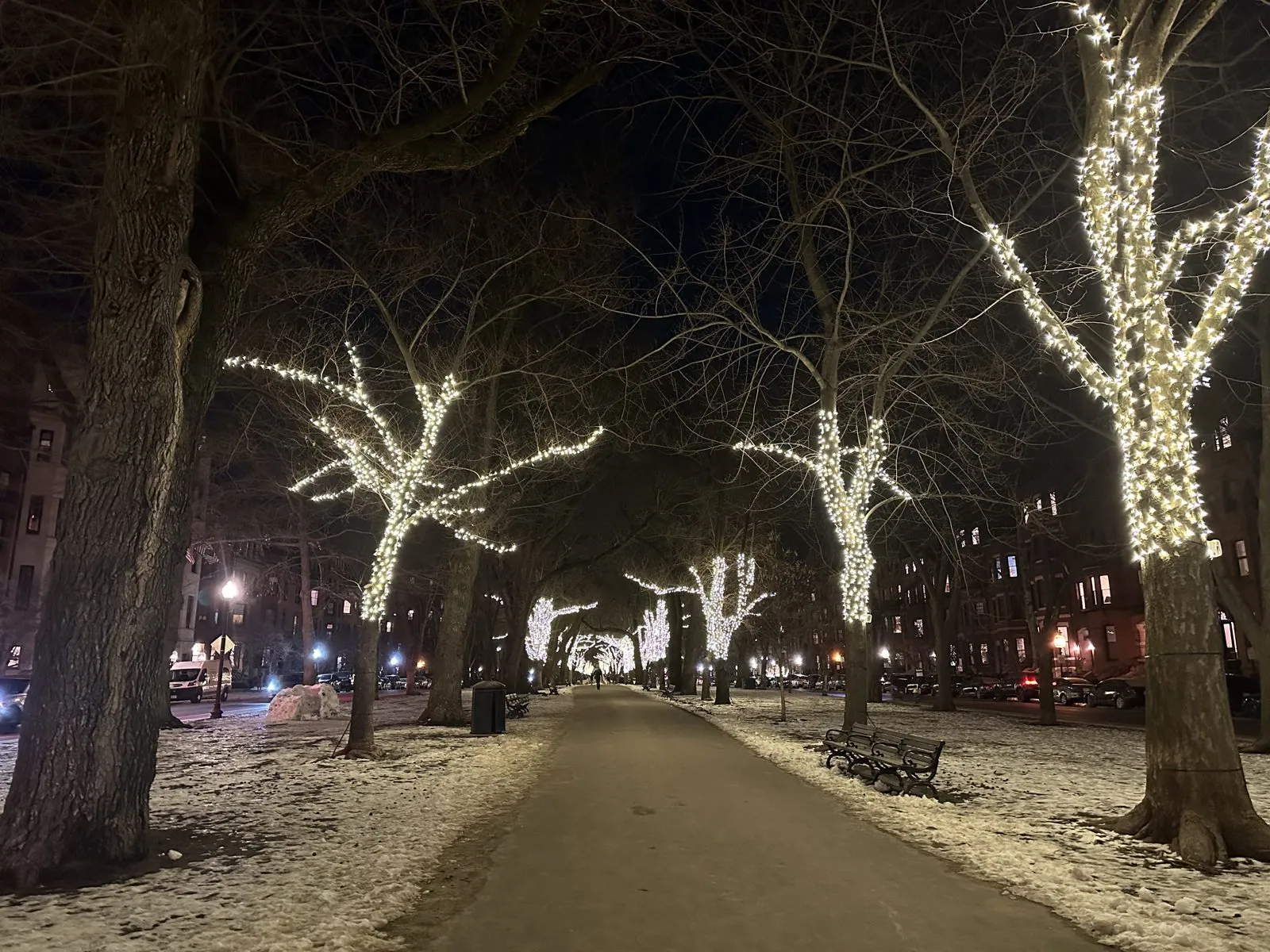
Looking downstream, the river opens into the wide Charles River Basin, with Beacon Hill and the towers of Cambridge lit up on either side and, at the very end, the white tent of the Zakim Bridge again, the same bridge we had seen from across the harbor on the first night. A long column of light lay on the water. Looking back the other way, the sidewalk ran straight and empty toward Back Bay, with the Prudential lit at the top. From the bridge we walked back along Commonwealth Avenue, whose long central mall had its trees wrapped in white lights. It was a fine way to say goodbye to Boston.
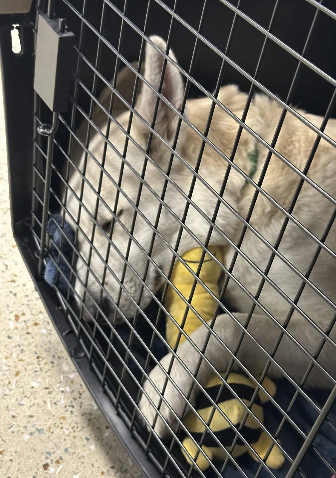
By a quarter to eleven we were at Logan Airport: empty check-in lanes, rows of steel stanchions on a shiny floor. Our flight home left early the next morning, so we spent the night in the airport. Wangcai was too big for the cabin and would fly in cargo, and well after midnight she was asleep in her travel crate on the terminal floor, a yellow toy beside her.
Monday: home
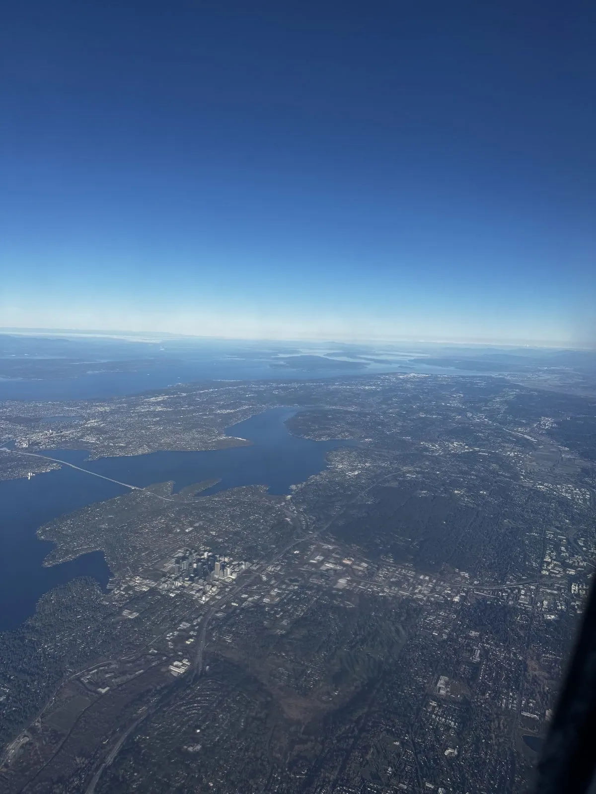
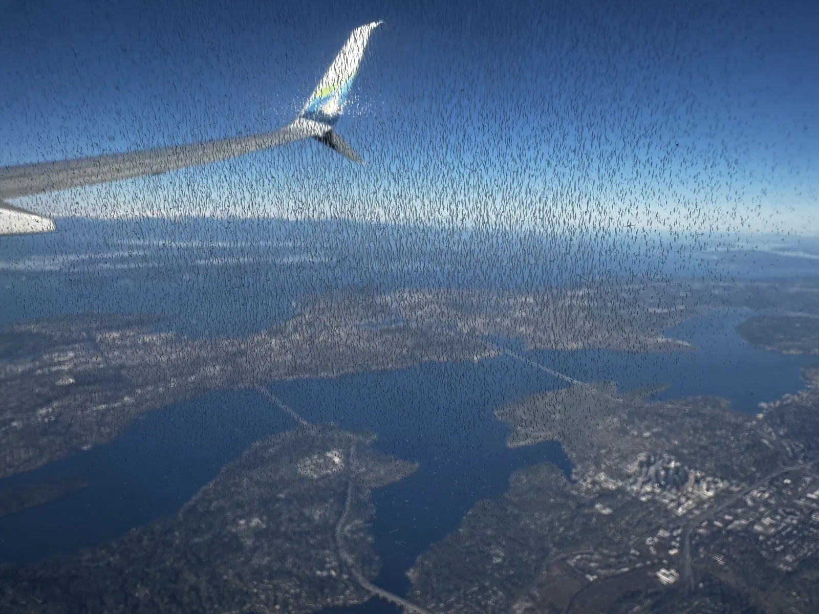
The way home went through Seattle, with a short connection there. At 9:43 the next morning we were high over the foothills of the Cascades, looking down on Lake Washington, the long lake between Seattle and the Eastside, with the towers of downtown Bellevue on its shore and Mercer Island in the middle. The lake is crossed by floating bridges, which really do float, on huge concrete pontoons, because the lake is too deep and too soft-bottomed for ordinary piers. Puget Sound and its islands spread out behind, all the way to the horizon. In the next photo, a frost of ice crystals had grown across the window, so the whole view looked as if it had been etched in glass.
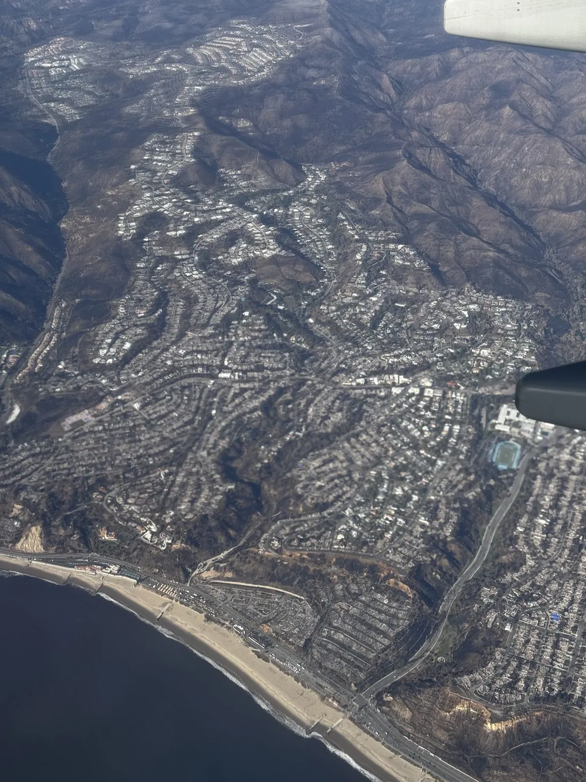
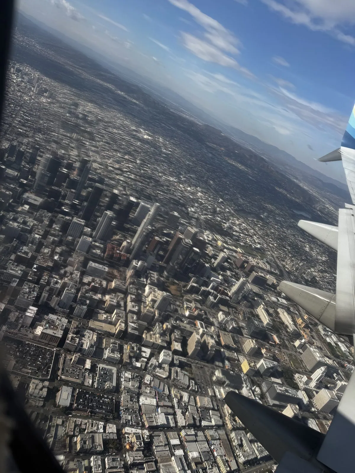
A little after two in the afternoon we were coming down over Los Angeles, and the descent was a tour of the whole basin in eight minutes.
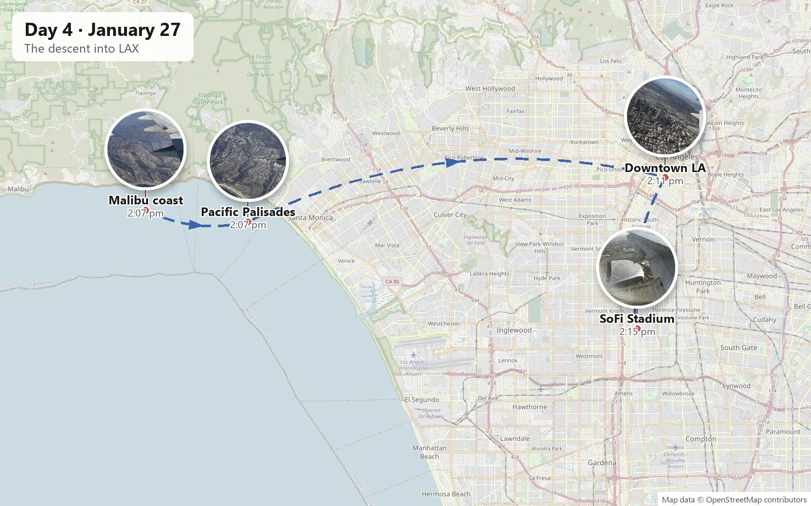
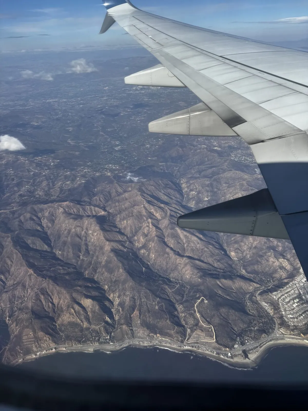
The plane crossed the coast over Malibu, where the Santa Monica Mountains drop straight into the Pacific in a series of steep, folded ridges, with the Pacific Coast Highway threaded along the bottom. Then came Pacific Palisades, its neighborhoods laid out along the ridges and canyons above the beach. The Palisades fire had swept through these hills and streets less than three weeks earlier, on January 7th, and burned thousands of homes. The photos are taken from too high to show much detail. But it was impossible to look down at that coastline that week and think about anything else.
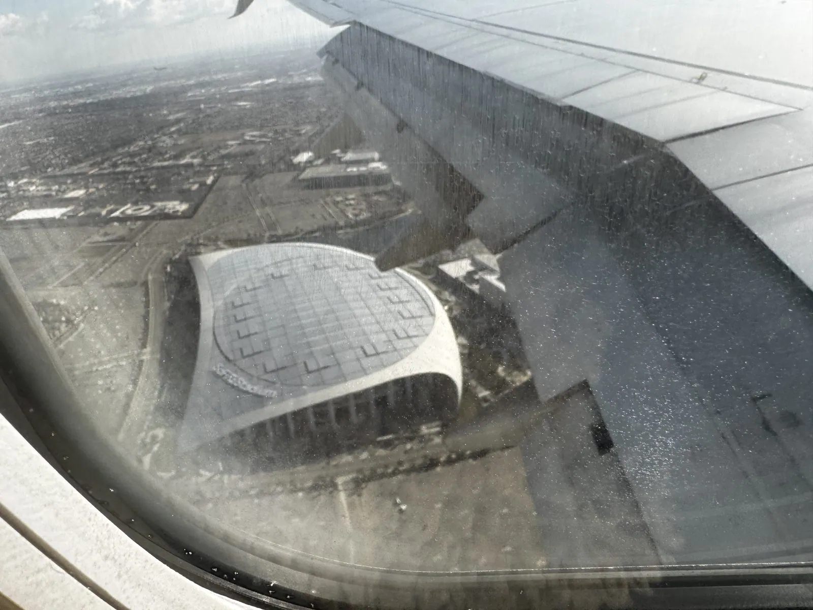
Then the plane swung east and around, the usual way into LAX, which means passing high over downtown, its towers looking like a model at this height, before turning back west for the final approach. On the way in, it flew right over SoFi Stadium in Inglewood, the home of the Rams and the Chargers. The stadium sits almost directly under LAX's flight path, which is why it was built sunk deep into the ground: its huge translucent roof had to stay low enough for planes like ours to pass overhead. From a window seat, you see it the way the architects must have drawn it, as a single sail of a roof floating over the field.
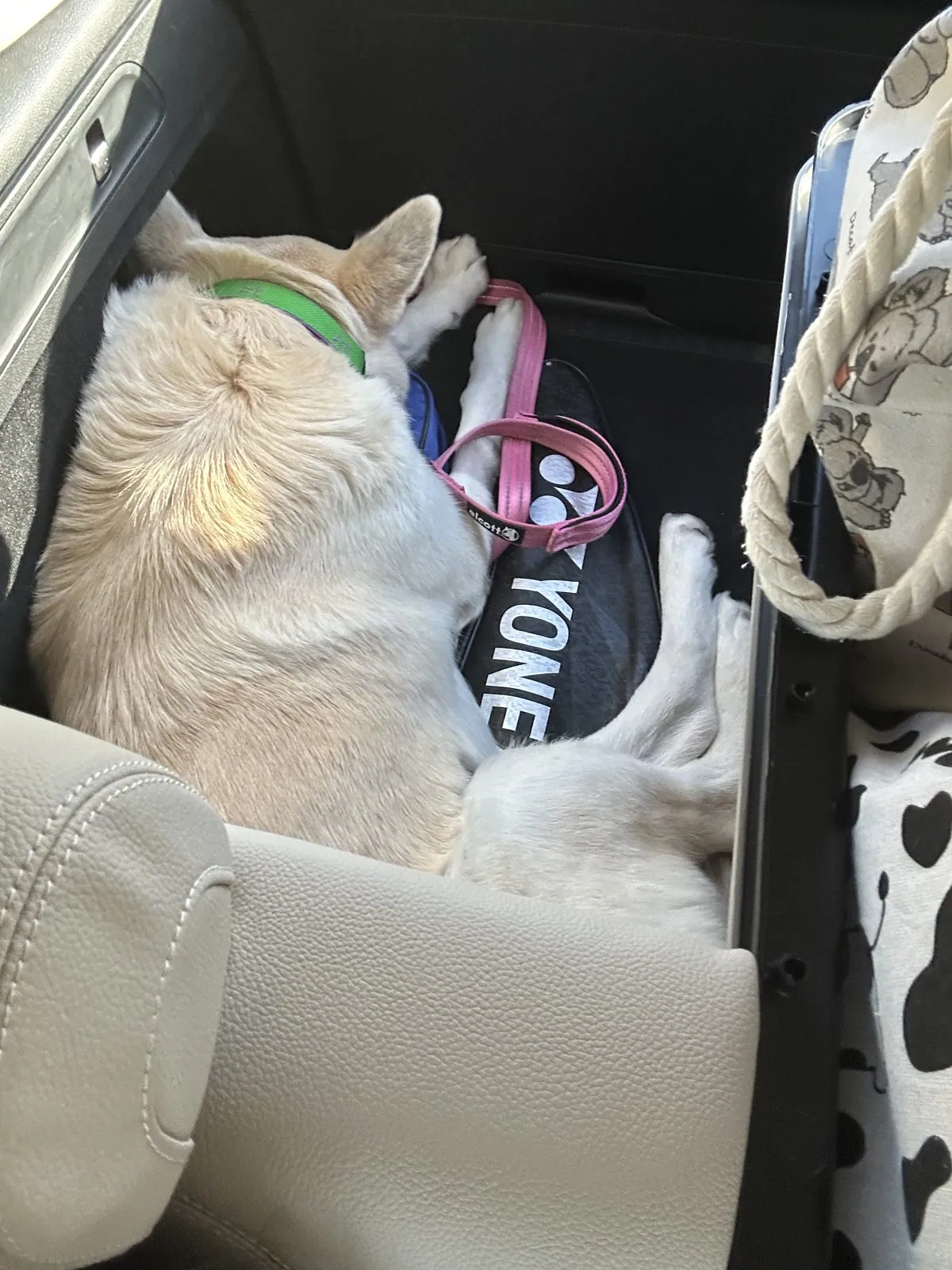
A little before four that afternoon, Wangcai was in the back of a car in Los Angeles, fast asleep.
Wangcai
My camera roll from this trip has harbors and steeples and strawberries, and only a few private seconds of video of the reason I went. My wife's has her all through the weekend. And the story itself is not in doubt. Muffin, otherwise known as WONHTSAI, came back to us from the MSPCA in Boston, and she spent that weekend in the back of a rental car, touring three states she will not remember. When she saw us again, she jumped on us like an old friend.
She has been Wangcai ever since. She has a pair of yellow pajamas, which settles the question of where she lives. A fortune-bringing name is a lot to live up to. So far she is managing it.
Wangcai today
Here she is on some of the road trips she has taken since. None of these are from the January trip.
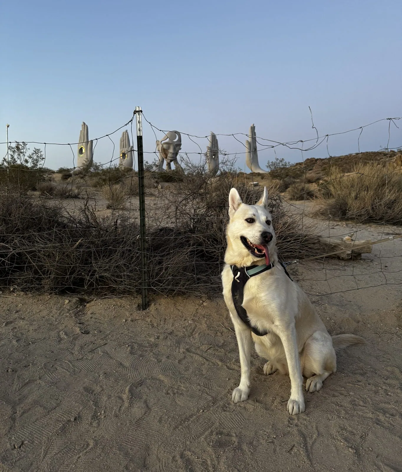
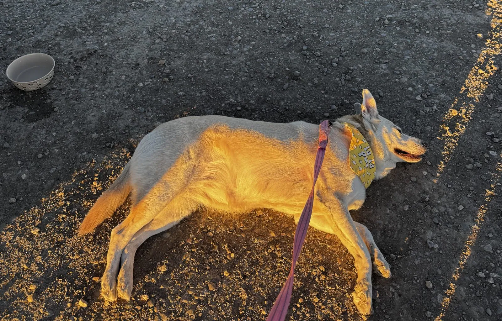
She has turned out to be a natural on the road, and the back seat of a car in a strange state seems to suit her just fine.
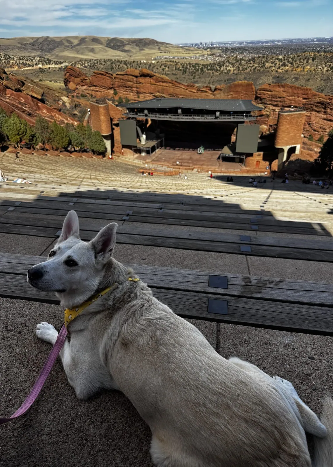
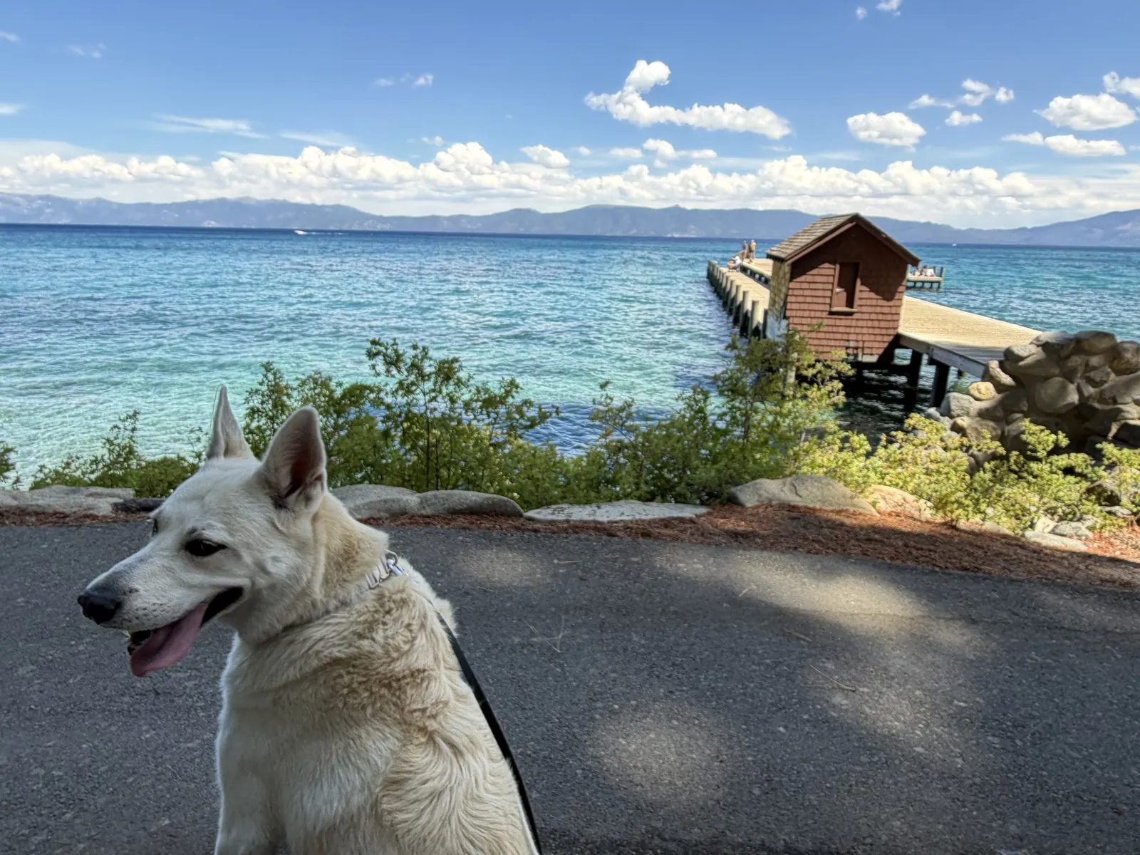
Maps built from the trip's photo timestamps and locations. Photo locations have been removed from the published images. Day maps: map data © OpenStreetMap contributors; each stop is placed where its photo was taken, hotels and home are never marked, and the dashed lines show the order of stops, not the exact roads or flight paths.
Some photos in this post are my wife's.
Likes and comments
React with an emoji or leave a comment. Signing in with GitHub is required.