← Misc · 2022–2025
Four Visits to the Same Desert
Joshua Tree, again and again: a 3 a.m. lookout, a boulder field, Orion over the yuccas and a field of giant hands.
Keys View at 3 a.m. (Sep 2022) · Jumbo Rocks and the Cholla Cactus Garden under storm clouds (Oct 2022) · a night of stars, then Joshua trees by day, the Cholla Cactus Garden and Pinto Basin Road (Dec 2024) · giant hands at sunset and stars over Twentynine Palms, with Wangcai (Jul 2025)
three of the four visits photographed mostly after dark · every season but spring
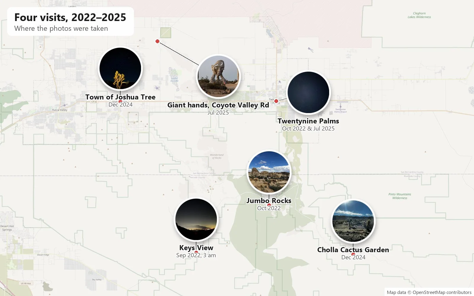
Some places you visit once. Joshua Tree, for us, became a place we keep returning to, four times in three years by the camera roll's count, in September, October, December and July. The honest reason is not the park itself but the places to stay. The towns strung along Highway 62 at the park's northern edge, Yucca Valley, Joshua Tree and Twentynine Palms, are full of good, affordable homestays, and that turns the desert into an easy weekend. You book a house, drive out, and the park is a few minutes down the road.
What the photos show we did with those weekends is mostly look up. Joshua Tree National Park is an International Dark Sky Park, and on three of the four visits most of the pictures were taken after dark: at a mountain lookout at three in the morning, in a garden at one in the morning, and in a desert backyard just before midnight. Below are the four visits in order, each reconstructed from its photos' times and places.
September 2022: Keys View at 3 a.m.
The first visit is the strangest, and there was no particular reason for it. The night before, we suddenly felt like driving out to the desert, and so we did: easy come, easy go. We took a room for the night at the Budget Inn in Indio, down in the Coachella Valley. There are no daytime photos of the park itself. The camera roll picks up at 2:58 on a Wednesday morning, September 28, at Keys View, the overlook at the end of a dead-end road on the crest of the Little San Bernardino Mountains, about 5,185 feet up. By day it is the park's most famous view: the whole Coachella Valley spread out below, the San Andreas Fault running along its floor, and on a clear day the Salton Sea shining far to the south. At three in the morning it is something else. The valley is a river of orange light, Palm Springs and its neighbors glowing under a dome of their own haze, and across it the dark bulk of Mount San Jacinto stands against the glow.
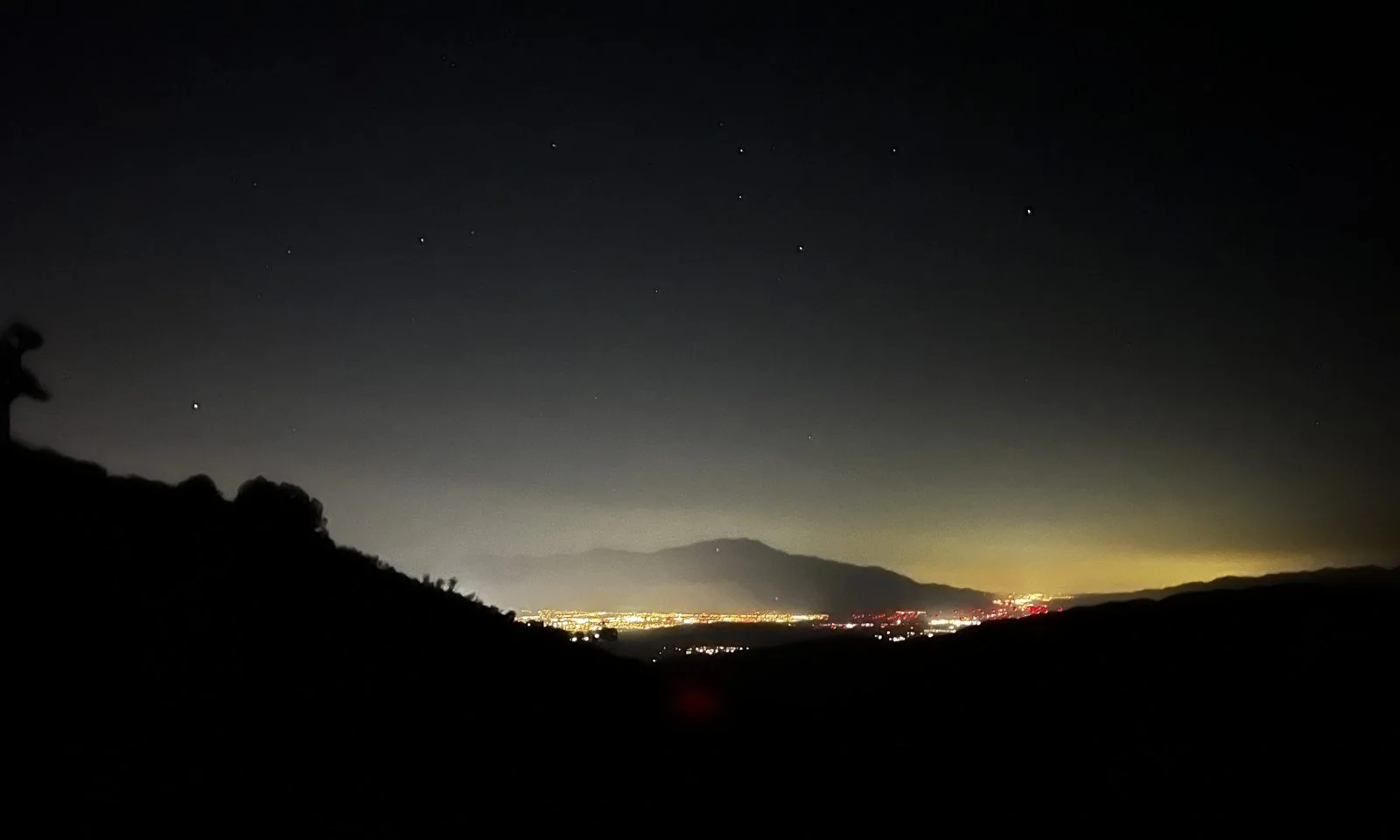
Then the camera turned upward and stayed there for half an hour. Between 2:58 and 3:34 there are some twenty long exposures of the sky, and between them, screenshots of a star-chart app, the kind you hold up to the sky to have it name what you're looking at. The app's labels tell you what was overhead that autumn night: Taurus and Cancer among them, and a small red dot marked Mars. (In the autumn of 2022 Mars was indeed in Taurus, brightening toward its December opposition.) Phone exposures of a dark sky are mostly black, but the best of them, lightly brightened, show the stars as they were: sharp, many, and with nothing between them and the lookout.
The next daylight photos, on my wife's phone, are from late that morning: the drive home through the Coachella Valley and west along Interstate 10.
October 2022: Jumbo Rocks under the clouds
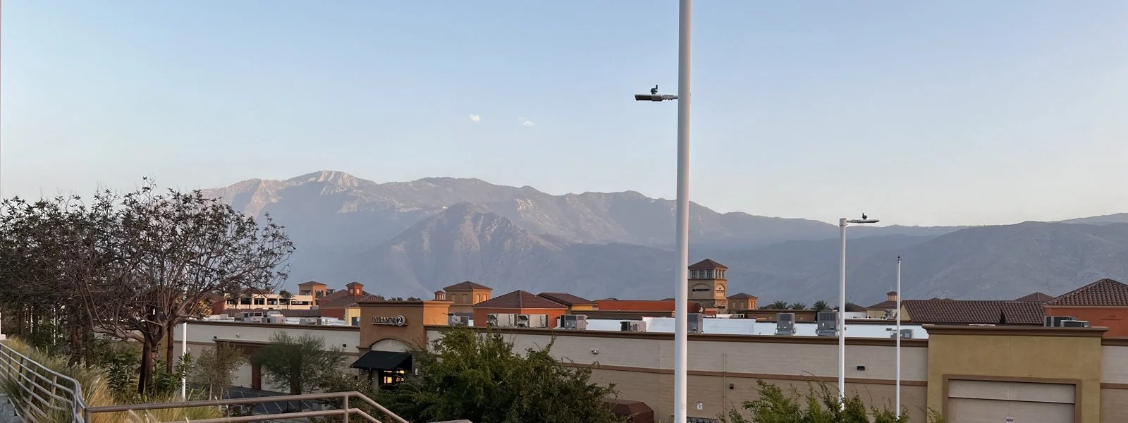
Two and a half weeks later we were back, this time for a weekend in a homestay in Twentynine Palms. The drive out on Friday, October 14, passed Cabazon, where Interstate 10 squeezes through the San Gorgonio Pass between the two highest mountains in Southern California. At 5:56 p.m. we stopped at the outlet malls there. Over the rooftops, the north face of Mount San Jacinto caught the evening light. It rises more than 10,000 feet in a few miles, one of the steepest mountain faces in the country, and from the parking lot it looks close enough to touch.
The next afternoon, just before two, we were in the middle of the park at Jumbo Rocks. If you picture Joshua Tree as piles of giant rounded boulders, this is where the picture comes from. The rock is monzogranite that cooled underground millions of years ago, cracked into blocks along joints, and weathered from the cracks inward while still buried; when the soil around it eroded away, it left these stacks of rounded, house-sized stones. A campground threads between them, with tents tucked into the gaps.
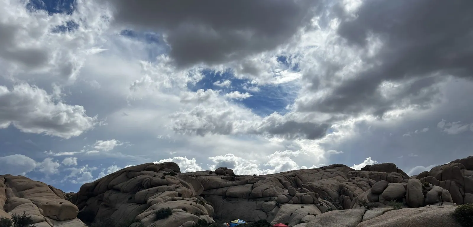
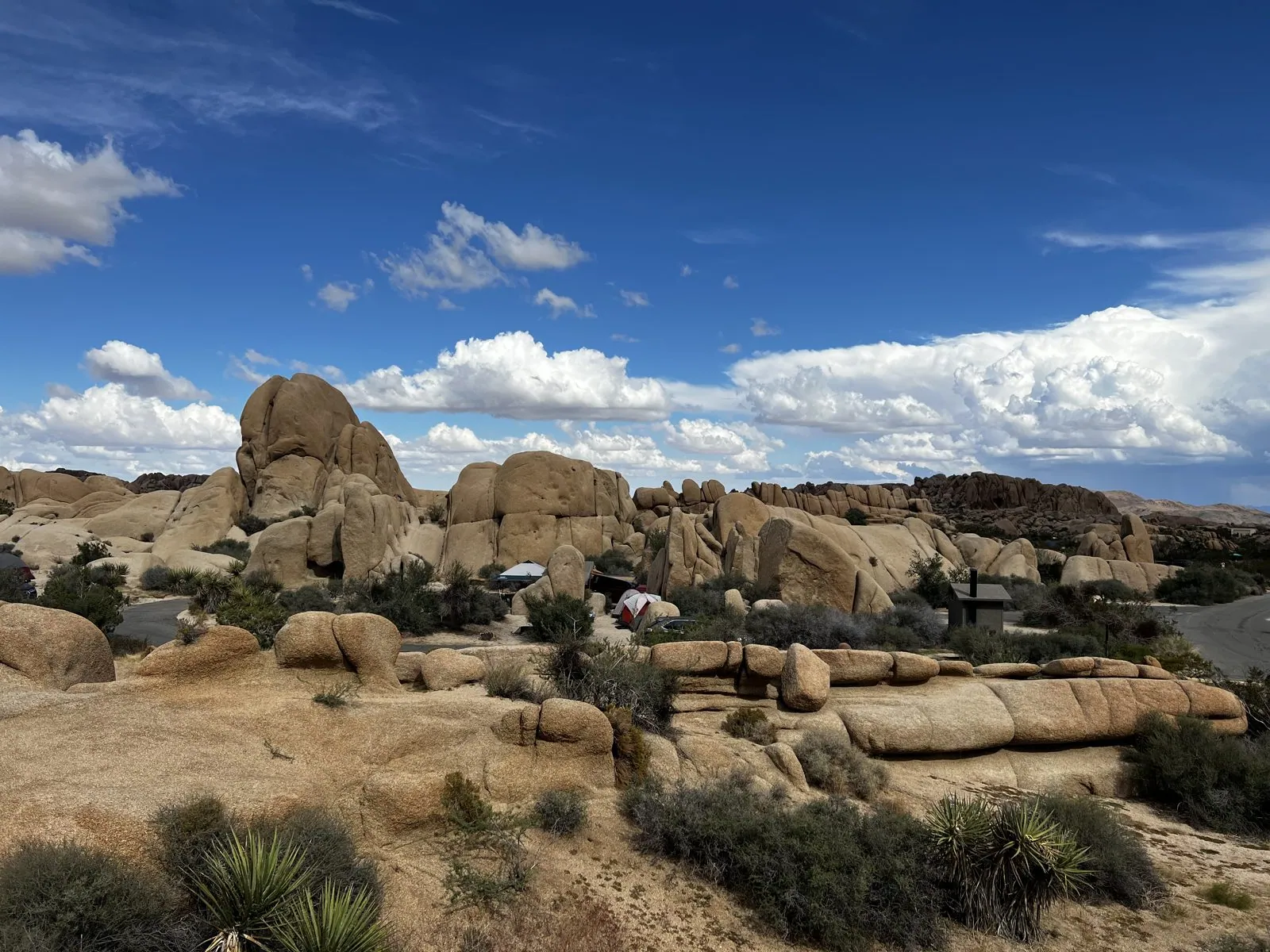
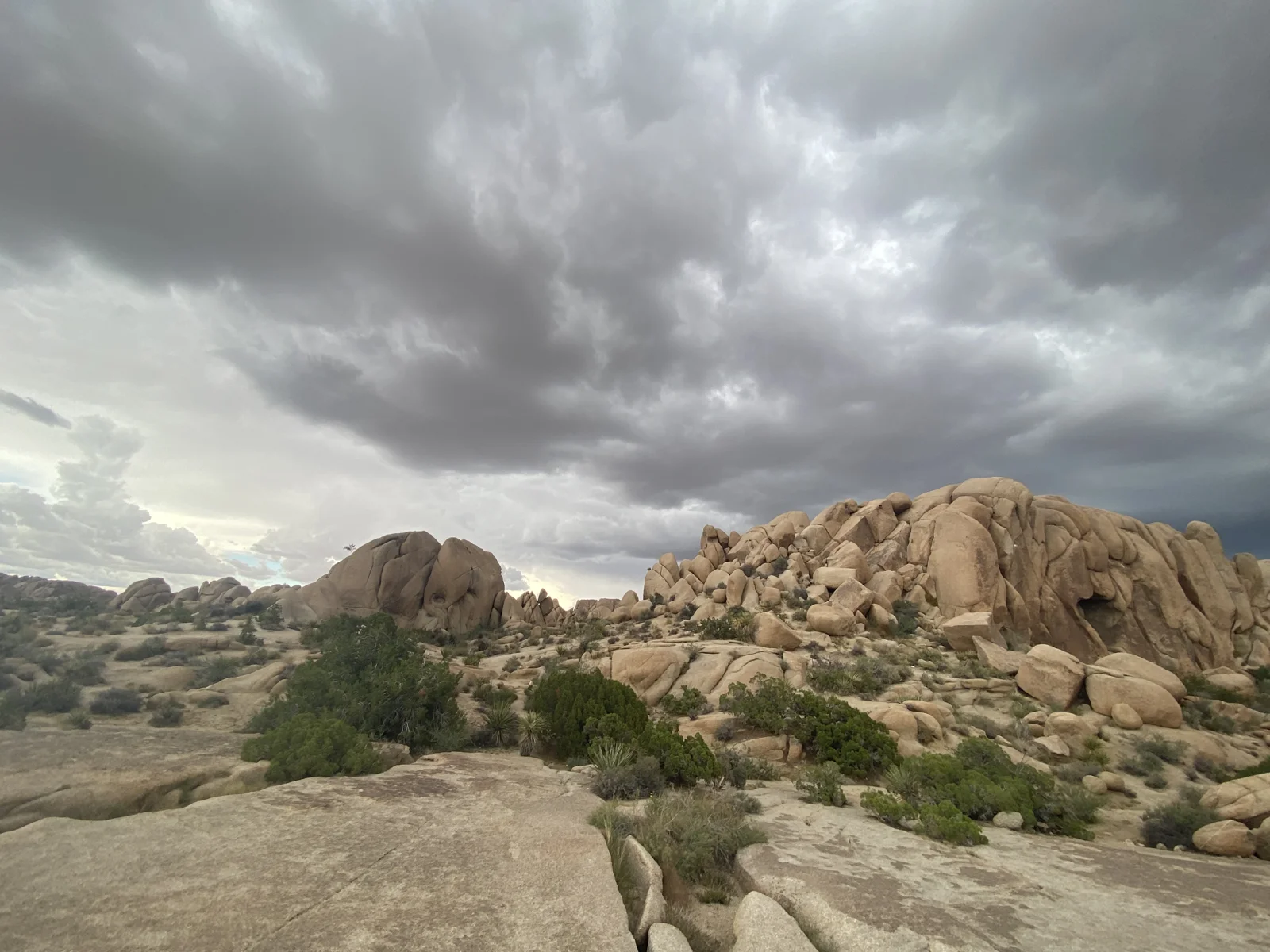
That October afternoon the sky was doing more than the rocks. Big weather was building: in one direction a ceiling of heavy gray cloud with blue tearing through it, in the other, towering white cumulus stacked along the horizon over the boulder piles. My three photos from Jumbo Rocks were all taken within thirty seconds of each other, but my wife's run for about an hour, and in that hour the sky closed in: the blue tearing through at two o'clock was gone by three, and the whole boulder field sat under a low gray ceiling.
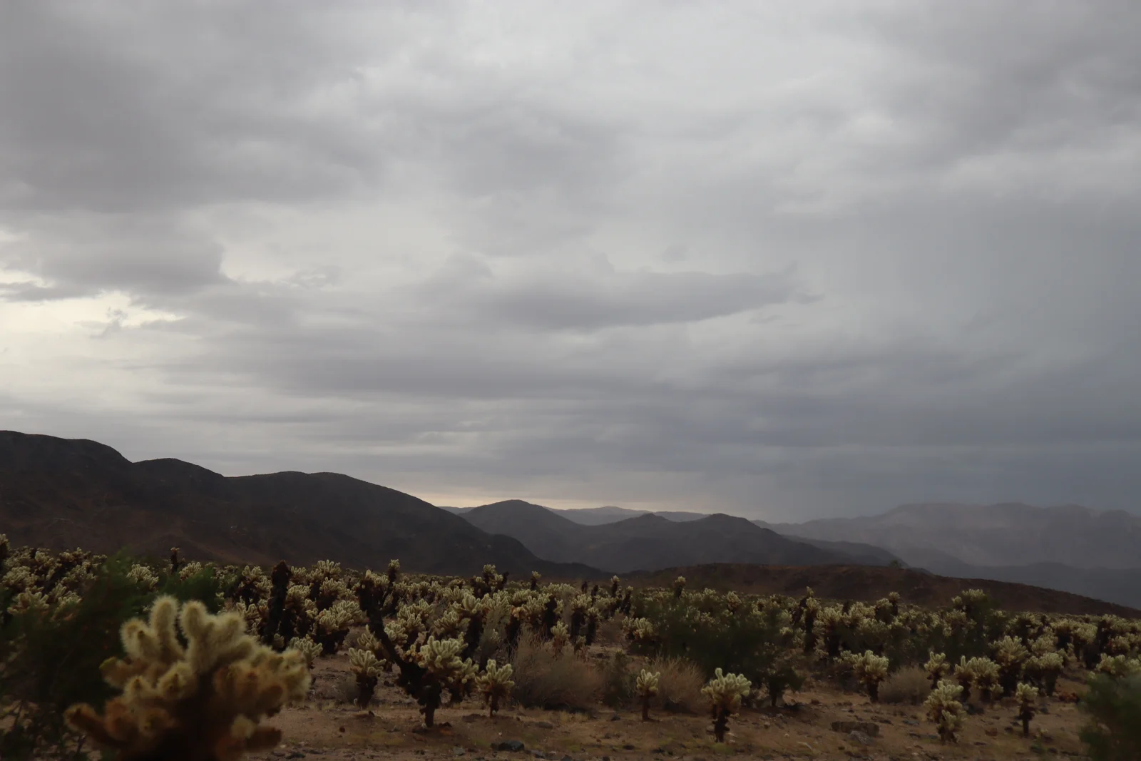
Late that afternoon, at 4:26, we were at the Cholla Cactus Garden on Pinto Basin Road, under the same gray sky, with rain hanging over the ridges beyond.
December 2024: Orion over the Joshua trees
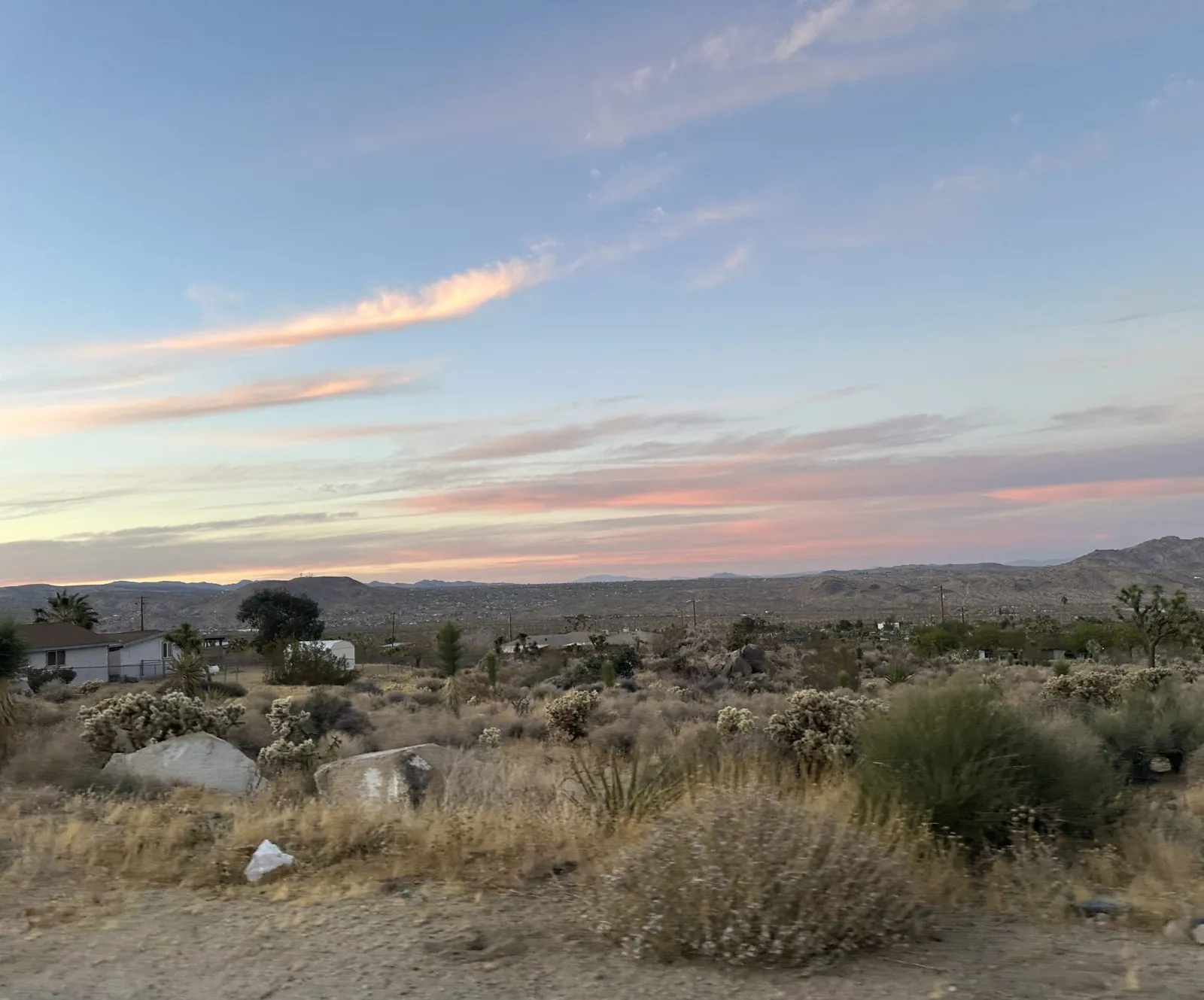
The third visit came two years later, in December, with a house in the town of Joshua Tree as base. We drove in on the afternoon of December 8, as the sky over the desert turned pink.
This is the visit with the best night sky. Between 12:44 and 1:33 on the morning of December 9, the camera roll fills with stars, and halfway through the garden's Joshua trees appear, lit from below. The result is the best photo of the whole series: a single Joshua tree glowing gold against a deep blue sky, with Orion standing directly above it, belt and sword and all. In December, Orion is the winter sky's centerpiece, high in the south after midnight.
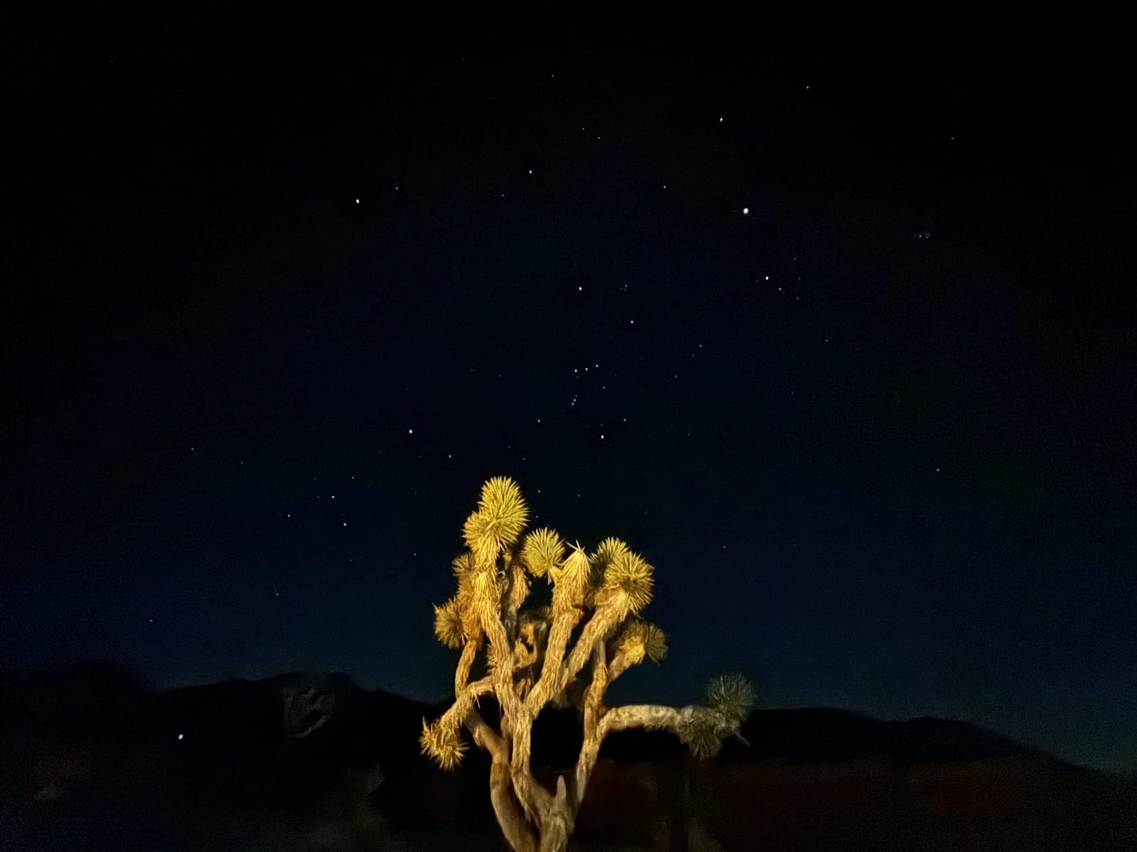
The Joshua tree is not really a tree. It is a yucca, Yucca brevifolia, a giant relative of the agave, and it grows almost nowhere outside the Mojave Desert. The usual story is that Mormon settlers crossing the desert in the nineteenth century named it after the biblical Joshua, its branches raised like arms in prayer, pointing the way west. Lit up at night, it looks less like a prophet and more like a firework frozen mid-burst. Next to it in the garden, a tall columnar cactus got the same treatment.
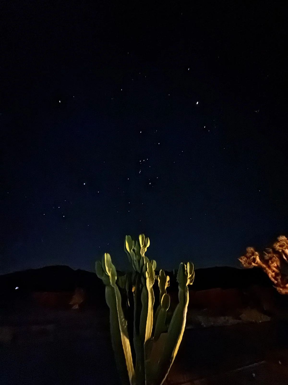
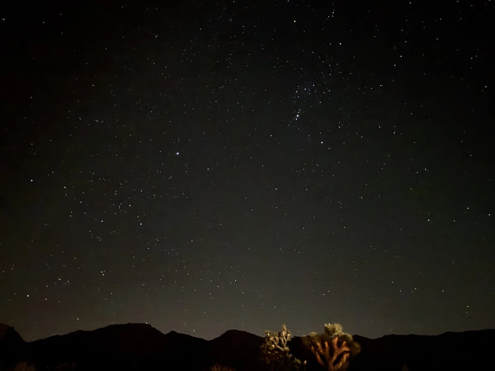
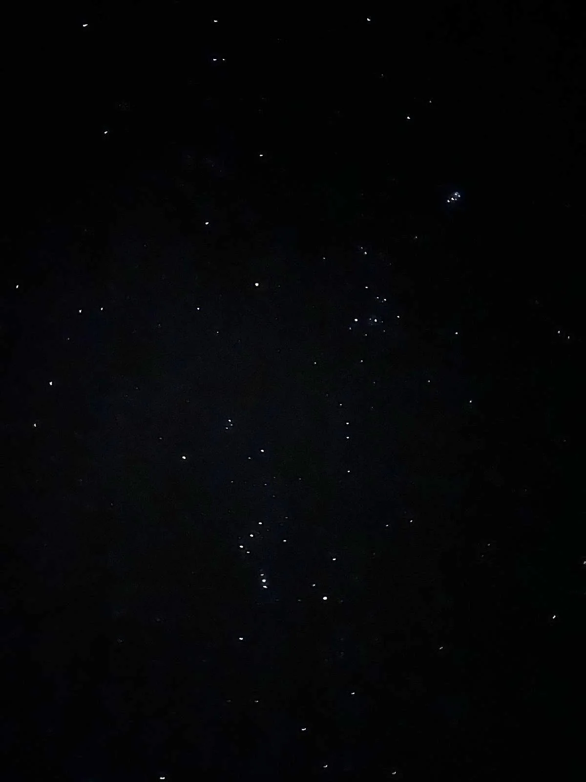
Pointed straight up without a foreground, the phone found more stars than the eye expects: Orion again, upper right, and hundreds of fainter stars scattered across the frame above the ridge. That night's star-chart screenshot labels Mars and Jupiter among them.
The Cholla Cactus Garden and Pinto Basin Road
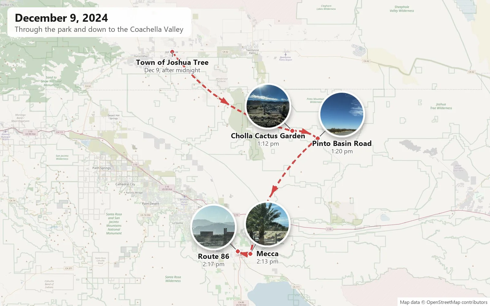
We drove in through the West Entrance just before noon, past the boulder piles and Joshua trees along Park Boulevard, and kept going south.
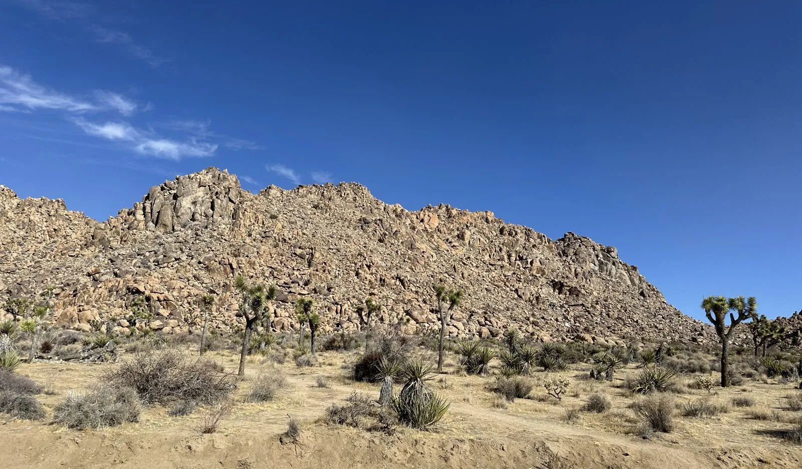
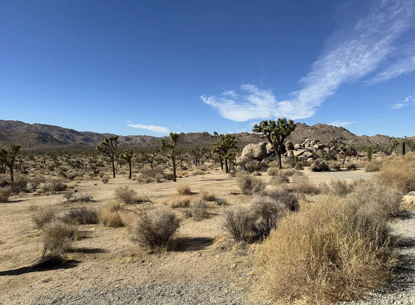
By 1:12 that afternoon we were deep in the park at the Cholla Cactus Garden, on Pinto Basin Road. This is where the park changes deserts. North and west of here is the higher, cooler Mojave, the land of Joshua trees; south and east the land drops into the lower, hotter Colorado Desert, a part of the Sonoran. Right on the seam grows a dense stand of teddy-bear cholla, Cylindropuntia bigelovii. From a distance they look soft and fuzzy, which is the joke in the name. Up close every stem is armored in barbed silver spines, and the segments break off at a touch. That is why it is also called jumping cholla.
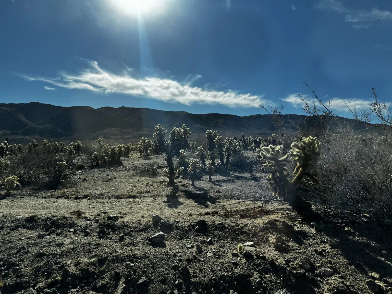
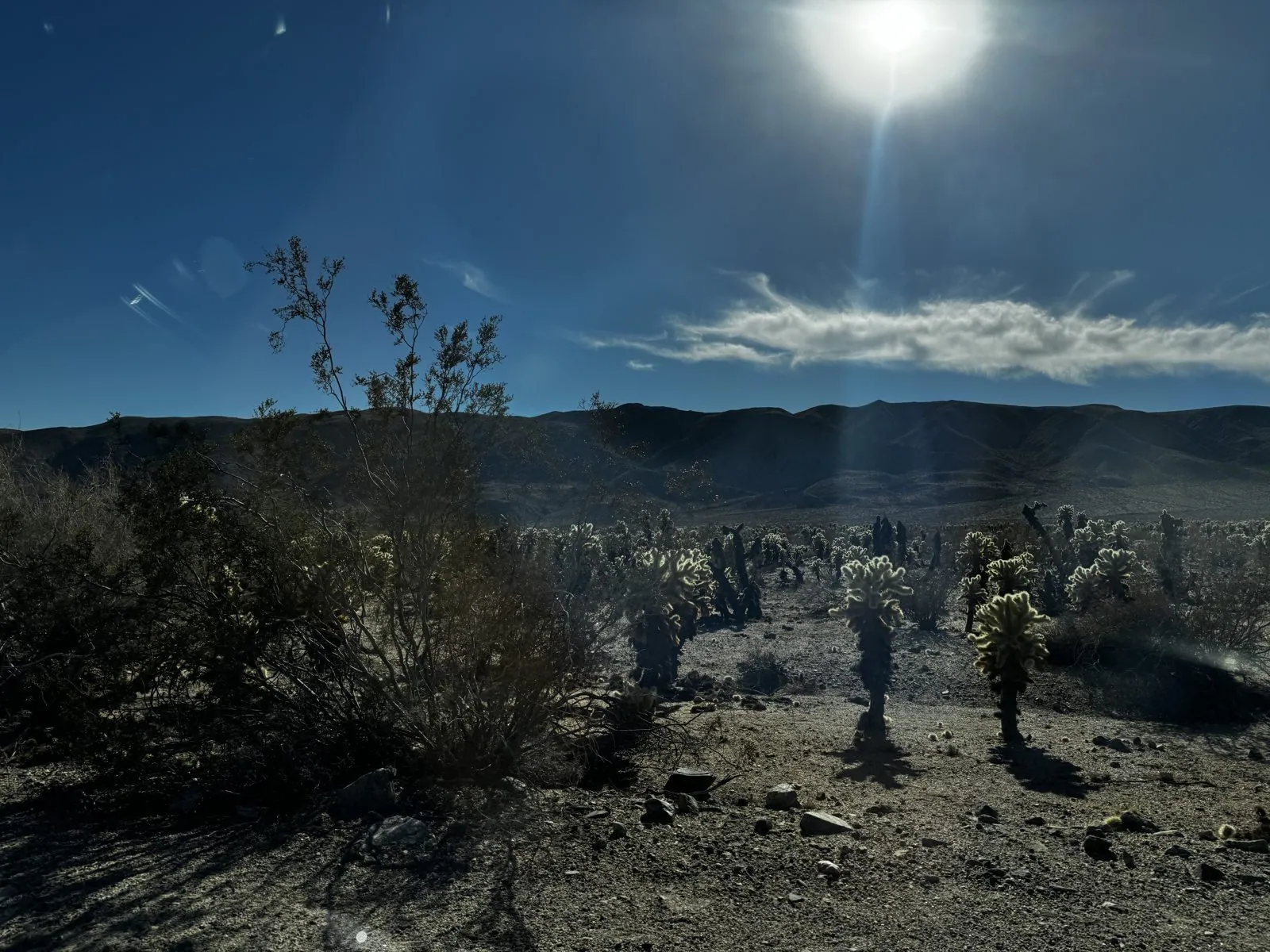
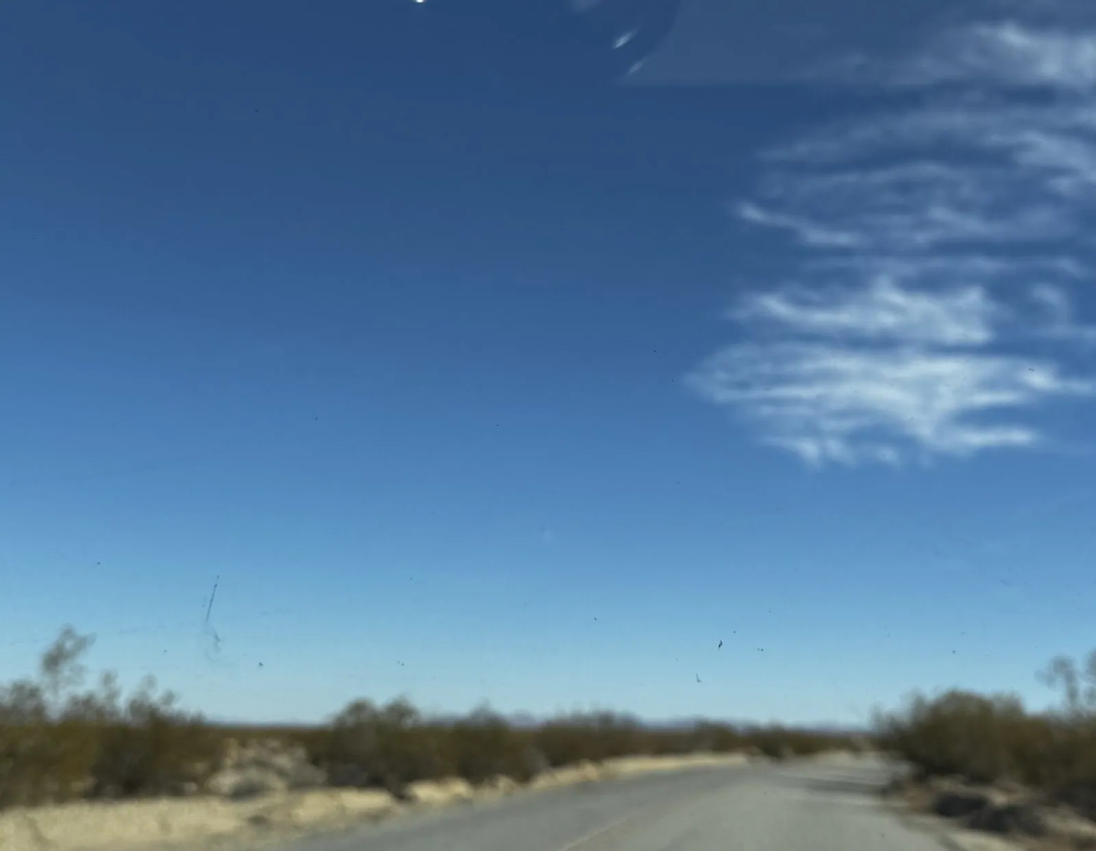
The low December sun was almost straight into the camera, and backlighting is what cholla are made for: every spine catches the light and each cactus gets a glowing outline. Eight minutes later we were driving south on Pinto Basin Road, which runs on through the empty Colorado Desert half of the park toward the Cottonwood entrance and Interstate 10. It is a long, straight two-lane road with creosote on both sides and hardly another car.
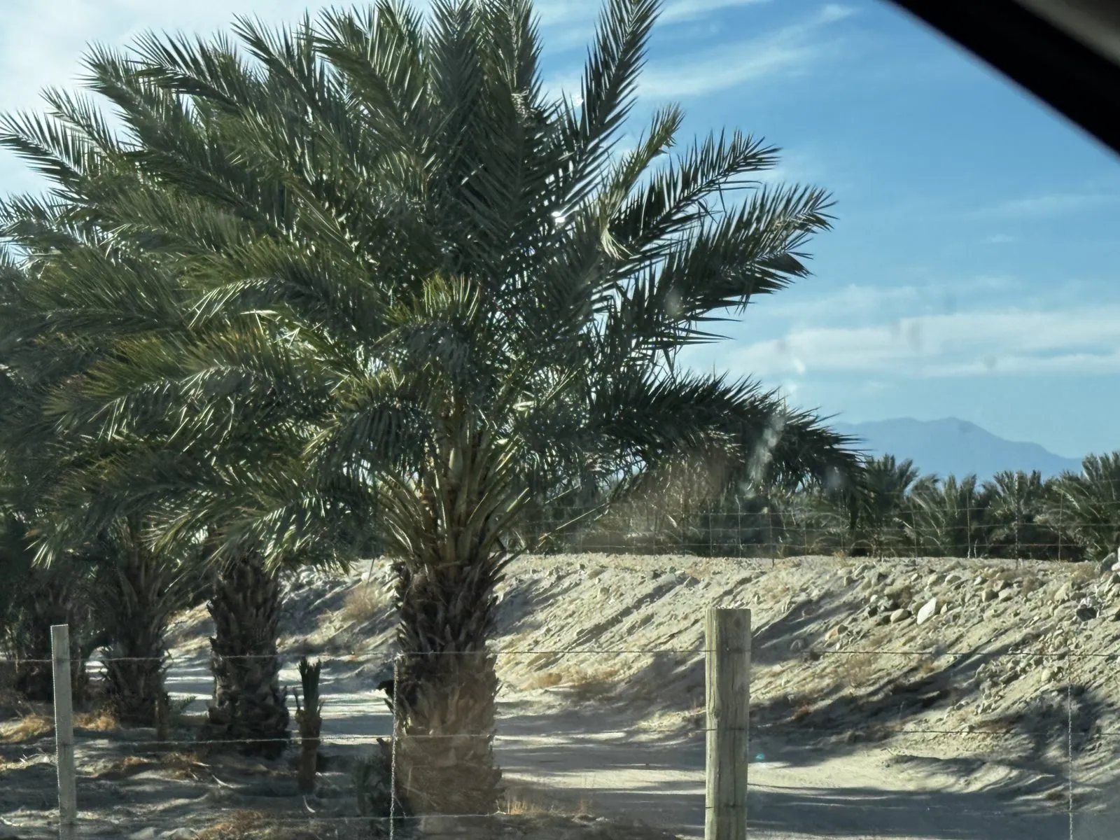
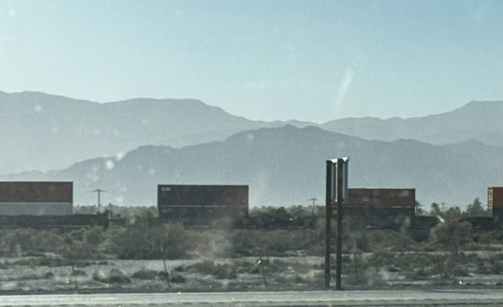
Out the bottom of the park, the road drops into the Coachella Valley, and the desert turns into farmland. At 2:13 we were in Mecca, at the valley's southern end near the Salton Sea, where the fields are date palms. The Coachella Valley grows the great majority of America's dates, from palms first brought from North Africa and the Middle East a little over a century ago. Four minutes later, on Route 86, a long freight train of double-stacked containers slid past below the Santa Rosa Mountains.
July 2025: giant hands, with Wangcai
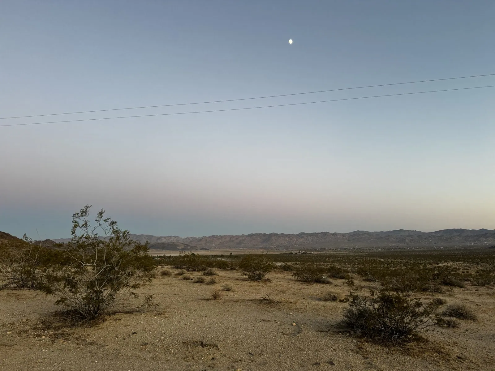
The fourth visit was over the Independence Day holiday in 2025, and this time Wangcai, our cream-colored dog, came along. (She joined the family in January 2025, and has her own page.) On the evening of July 5, just after sunset, we were north of Highway 62 on Coyote Valley Road, in the open high desert between the towns of Joshua Tree and Twentynine Palms. The desert there is a wide basin of creosote bushes running out to a wall of bare mountains, and a waxing moon was already up in a sky fading from blue to pink.
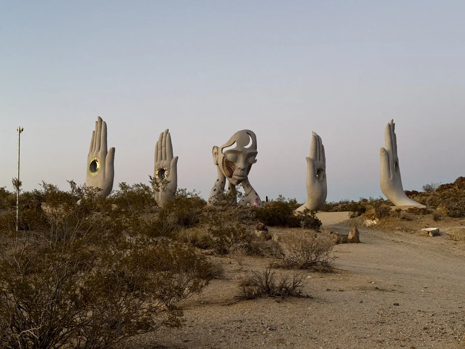
Then, rising out of the creosote, the hands. This is Transmission, an installation by the South African artist Daniel Popper, who is known for monumental figurative sculpture. There are four of them, each two or three times a person's height, white and raised palm-out like a greeting or a vow, and in the middle of the palm of each one is a round window ringed with mirrored mosaic that catches the last light. Between them is a giant face, eyes closed, a crescent moon cut through its forehead, resting its chin on two long arms dotted with holes and inlaid with colored glass. A path leads up to them through the scrub, and other people were walking it in the dusk.
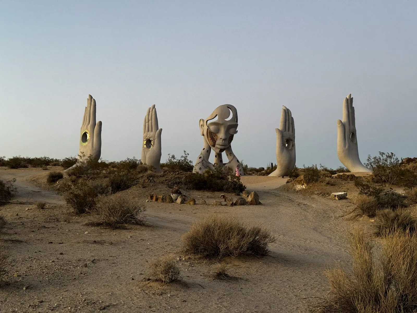
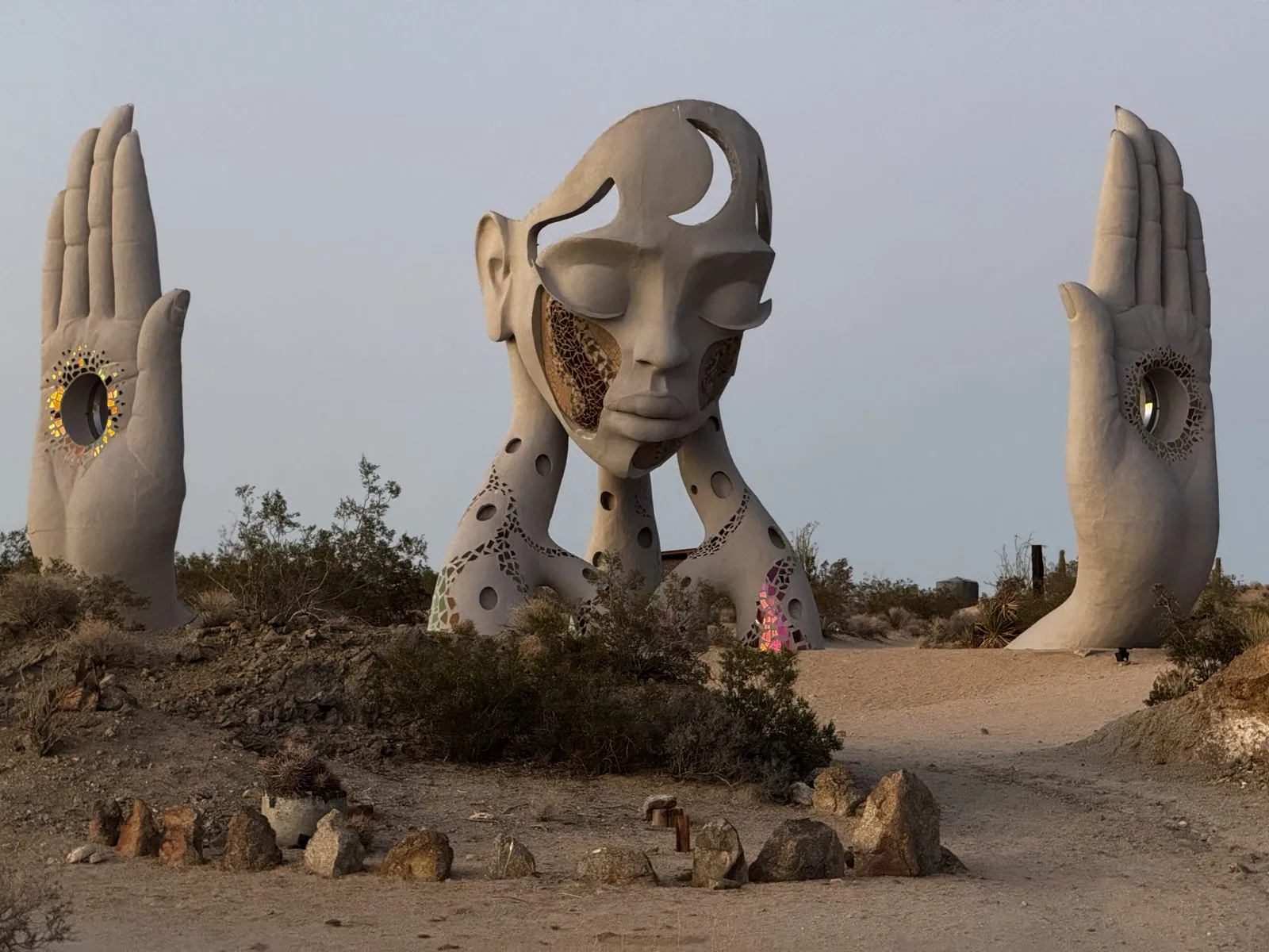
Close up, the central figure is the one that stays with you. The face is serene, almost sleeping, its cheek opened up into a mosaic of amber and brown glass, the hands on either side holding up their mirrored eyes. A small circle of stones lies on the ground in front of it, like an altar or a campfire ring. Popper's piece joins a long high-desert habit of big outdoor art on open land; Noah Purifoy's outdoor museum of assemblage sculpture is a few miles away, in the town of Joshua Tree.
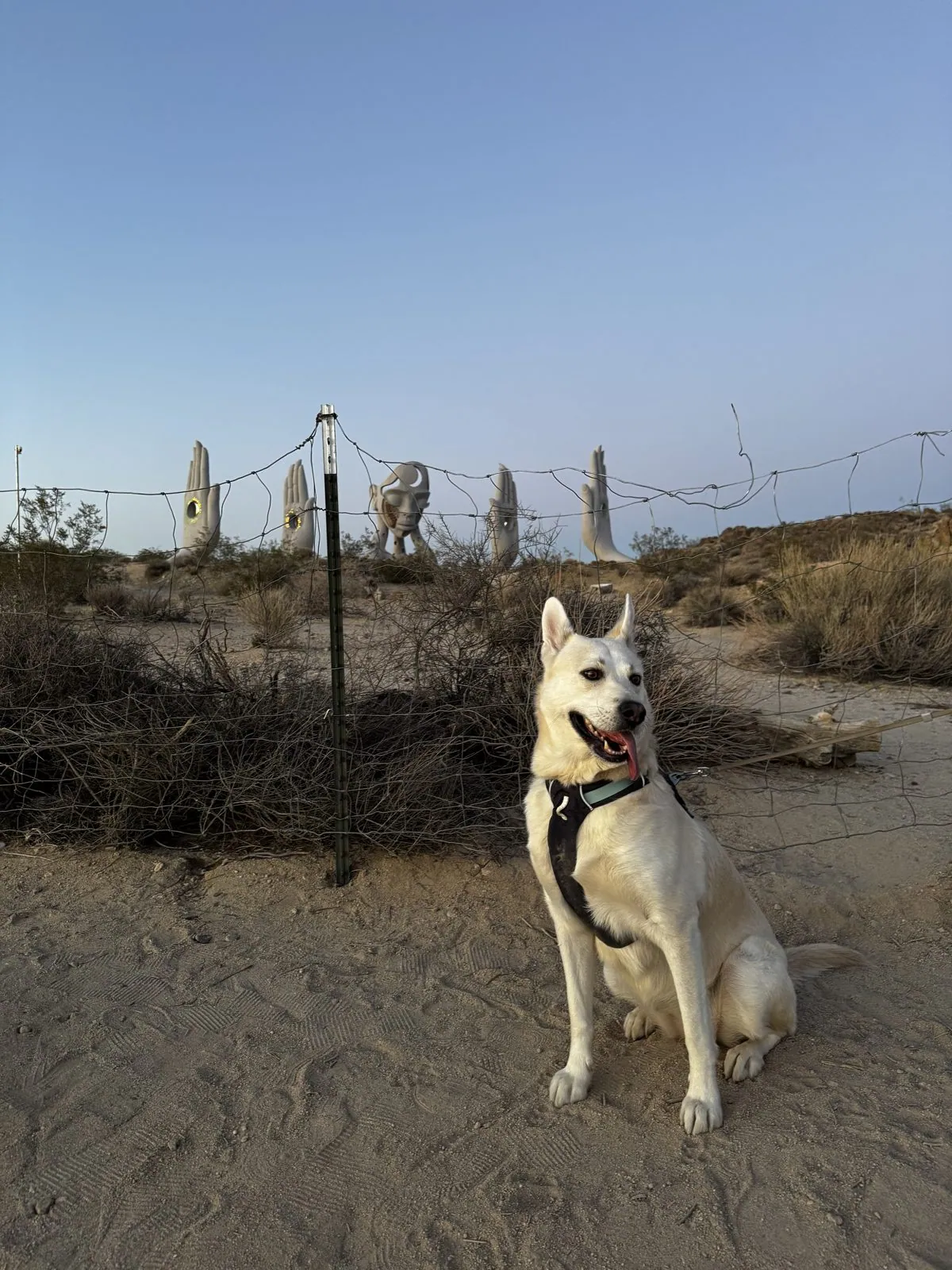
Wangcai, for her part, had her back to the art. Between 8:13 and 8:14 she sat for a series of portraits on the sand beside the wire fence, the hands lined up behind her on the ridge, tongue out in the warm evening air. On a July evening the desert floor gives back the day's heat long after the sun is gone, and she did her posing with her mouth open. She is cream-colored, almost white in some lights, and with the pale hands behind her it is hard to say which one the photos are of.
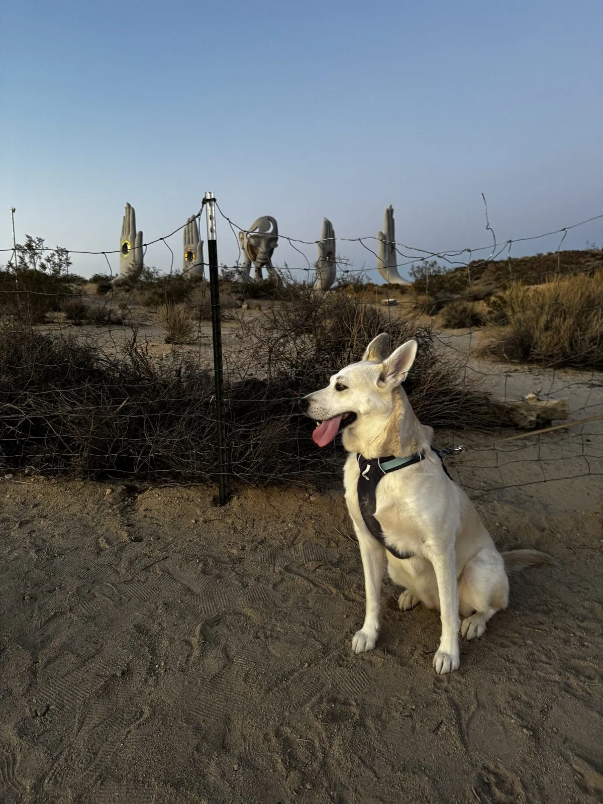
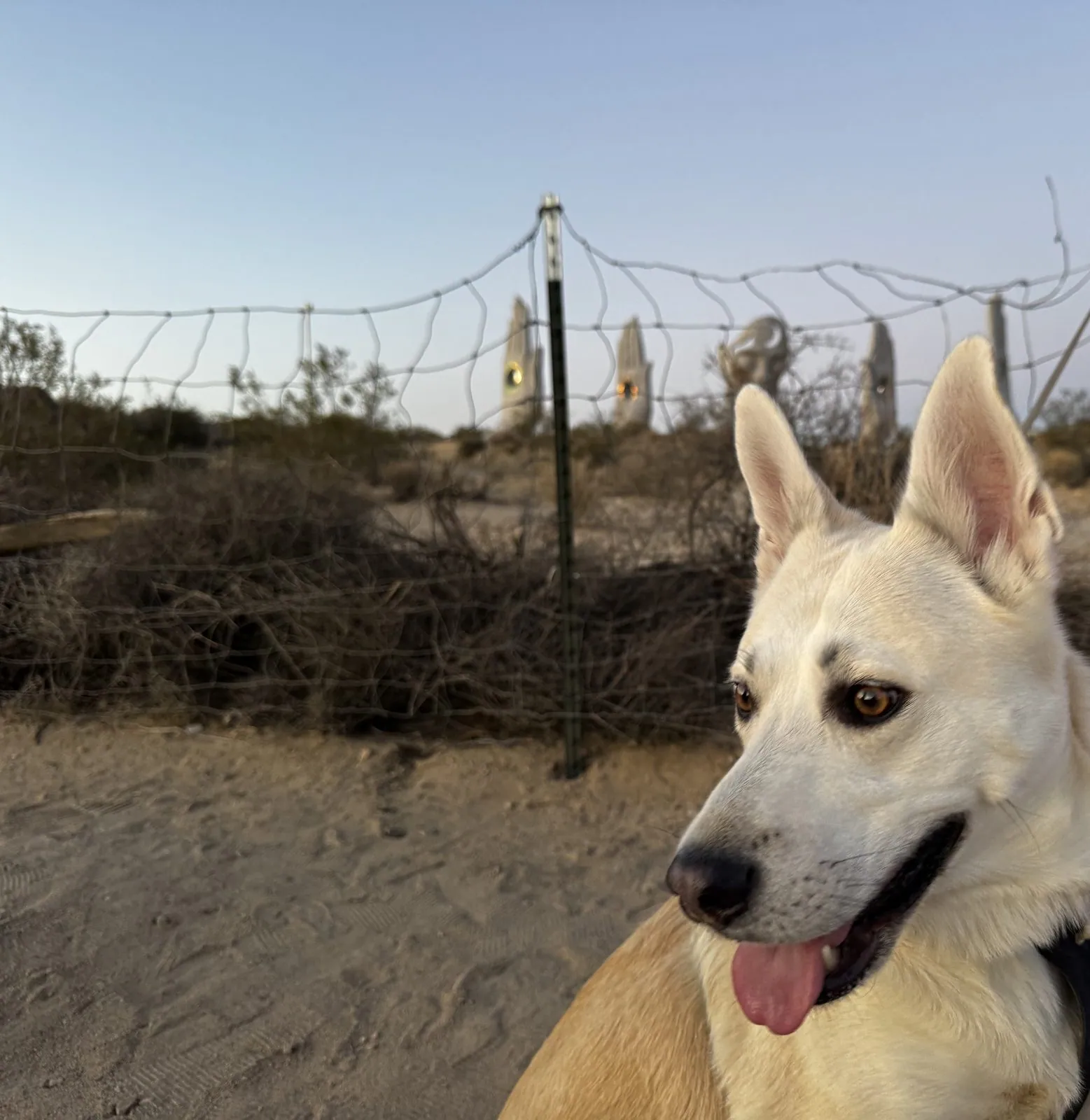
In the close-up her ears are up, her eyes are amber, and she is looking off to the side, with the hands blurred into the background over her shoulder. By 8:16 the light was going, and we left the hands to the dusk.
That night, back at our base in Twentynine Palms, the camera went up one last time. Between 10:52 and 11:01 p.m. there are ten frames of the sky, and in the best of them the stars come through thick and small, with a faint, soft glow across the middle of the frame. It is the fourth visit and the third night spent looking up from this desert. The record doesn't explain the habit, but it does show it.
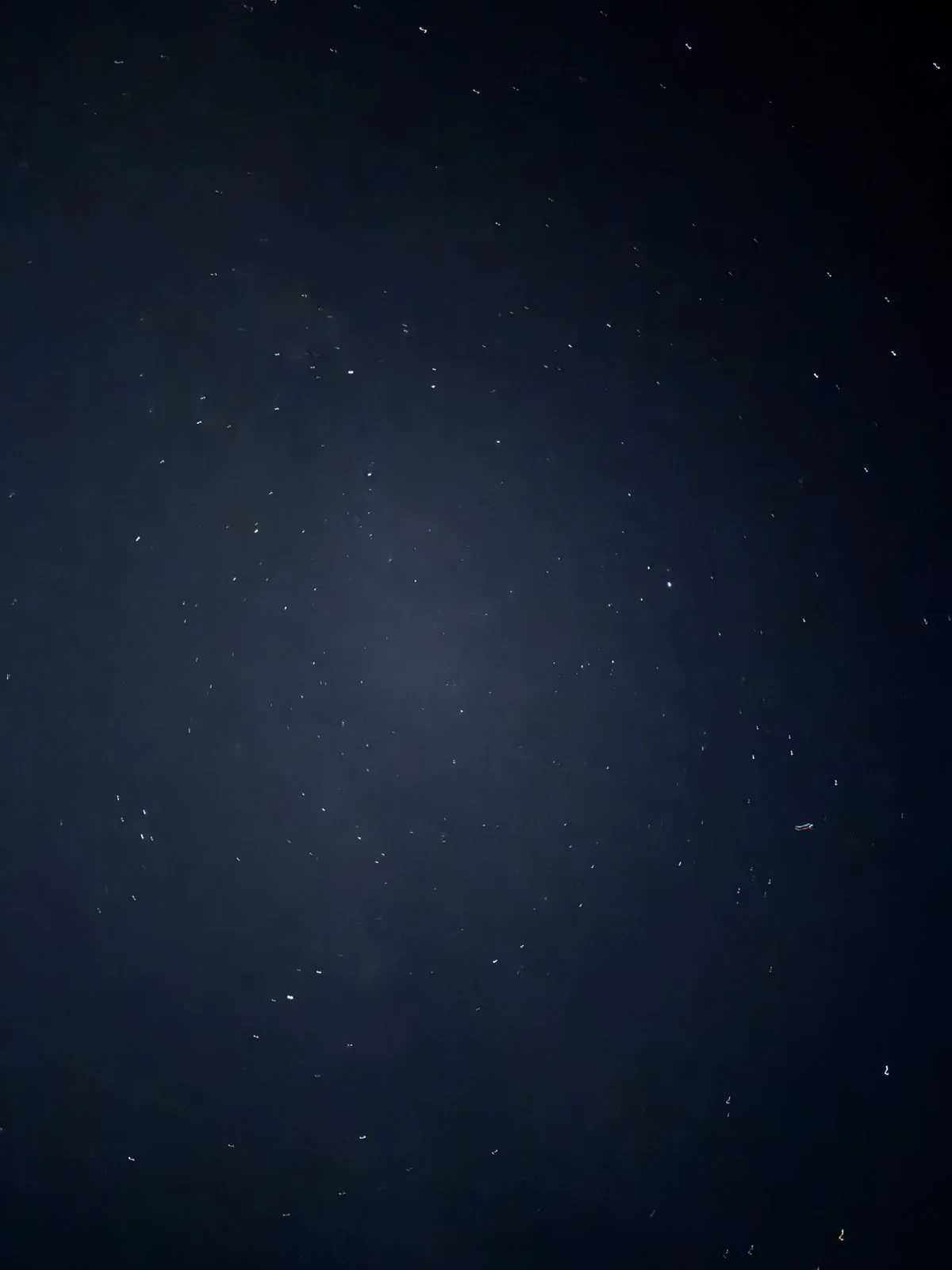
Those night skies, and the constellations hiding in them, probably deserve a post of their own someday.
Maps built from the photos' timestamps and locations. Photo locations have been removed from the published images. Maps: map data © OpenStreetMap contributors; each stop is placed where its photo was taken (towns are marked at their centers), places we stayed are never marked, and the dashed lines show the order of stops, not the exact roads.
Some photos in this post are my wife's.
Likes and comments
React with an emoji or leave a comment. Signing in with GitHub is required.